
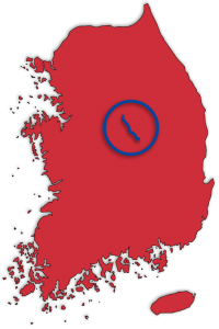
Routes
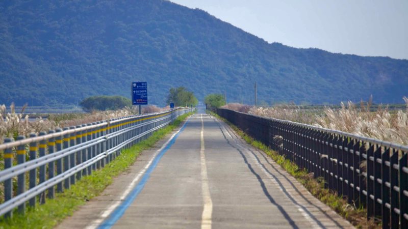
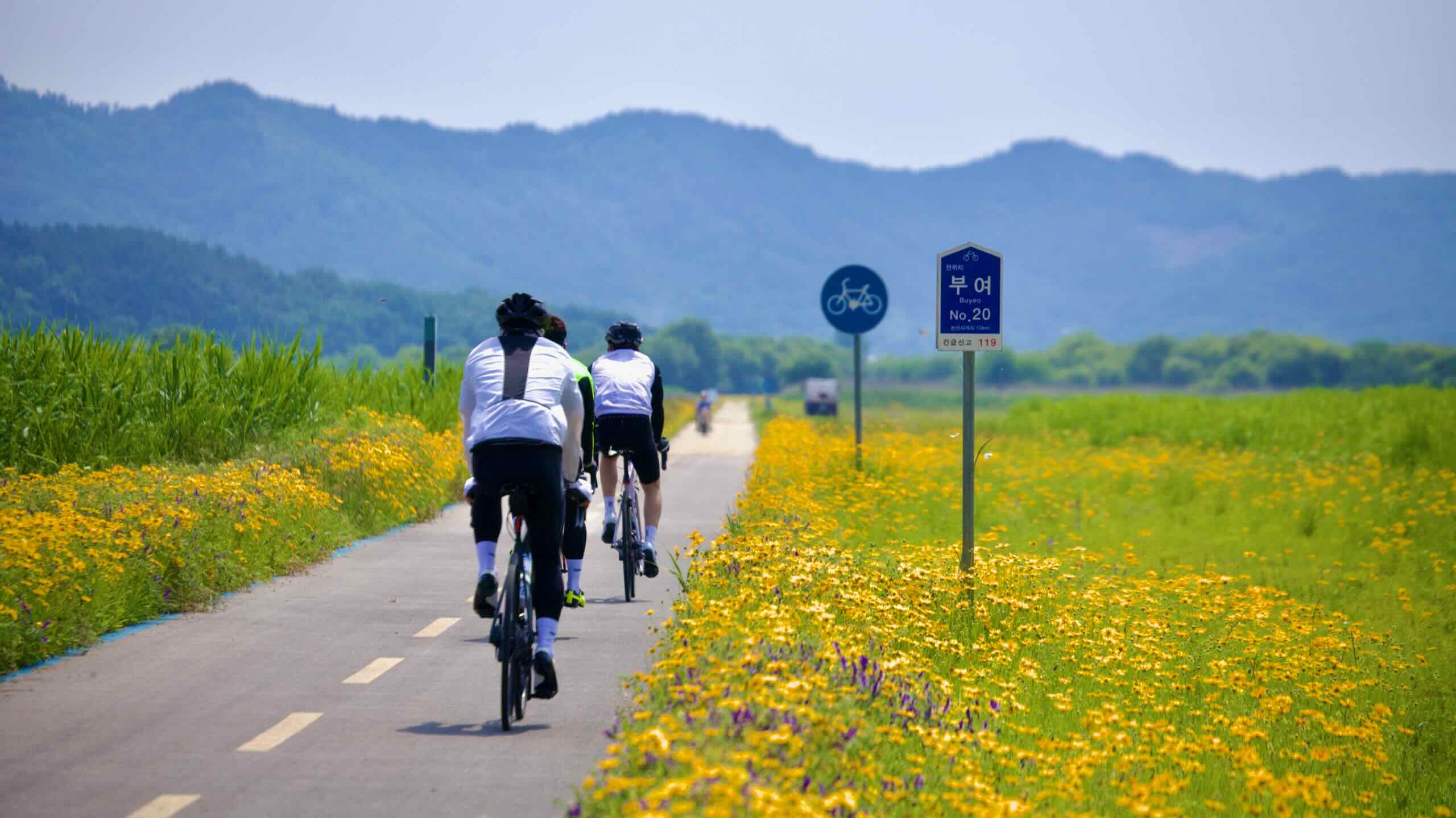
Want to explore Korea by Bike? You’re in luck. The country maintains thousands of kilometers of bike paths that follow rivers, sail coastlines, and pass historic landmarks.
Looking for a quick cycle? How about an epic cross-country tour? Korea by Bike has all the resources you need. Find breakdowns of Korea’s certification cycling paths and more.


Circle Korea’s tropical getaway. Ride to a romantic city. And complete the east coast.
Circle Korea’s tropical getaway. Ride to a romantic city. And complete the east coast.
About the Routes
South Korea operates a Bicycle Certification System. Also known as a “stamp tour,” the system allows cyclists to document their biking adventures around Korea in a Bike Passport.
The Certification System includes 12 certification bike paths, which I group into four buckets:
- Cross-Country Route (4 certification bike paths)
- East Coast Route (2 certification bike paths)
- Western Routes (4 certification bike paths)
- Jeju & More Routes (2 certification & 2 non-certification bike paths)


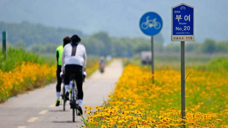


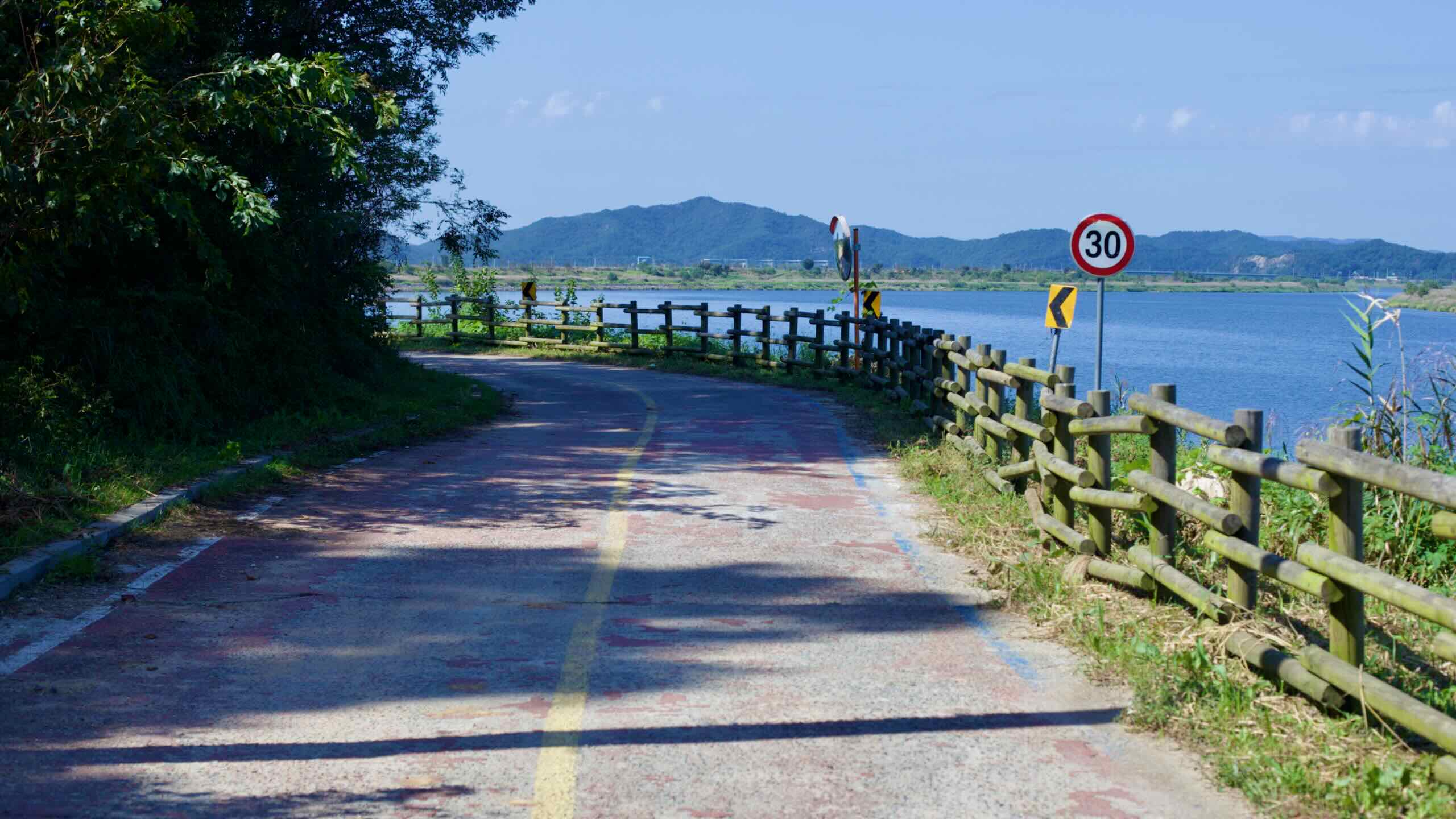
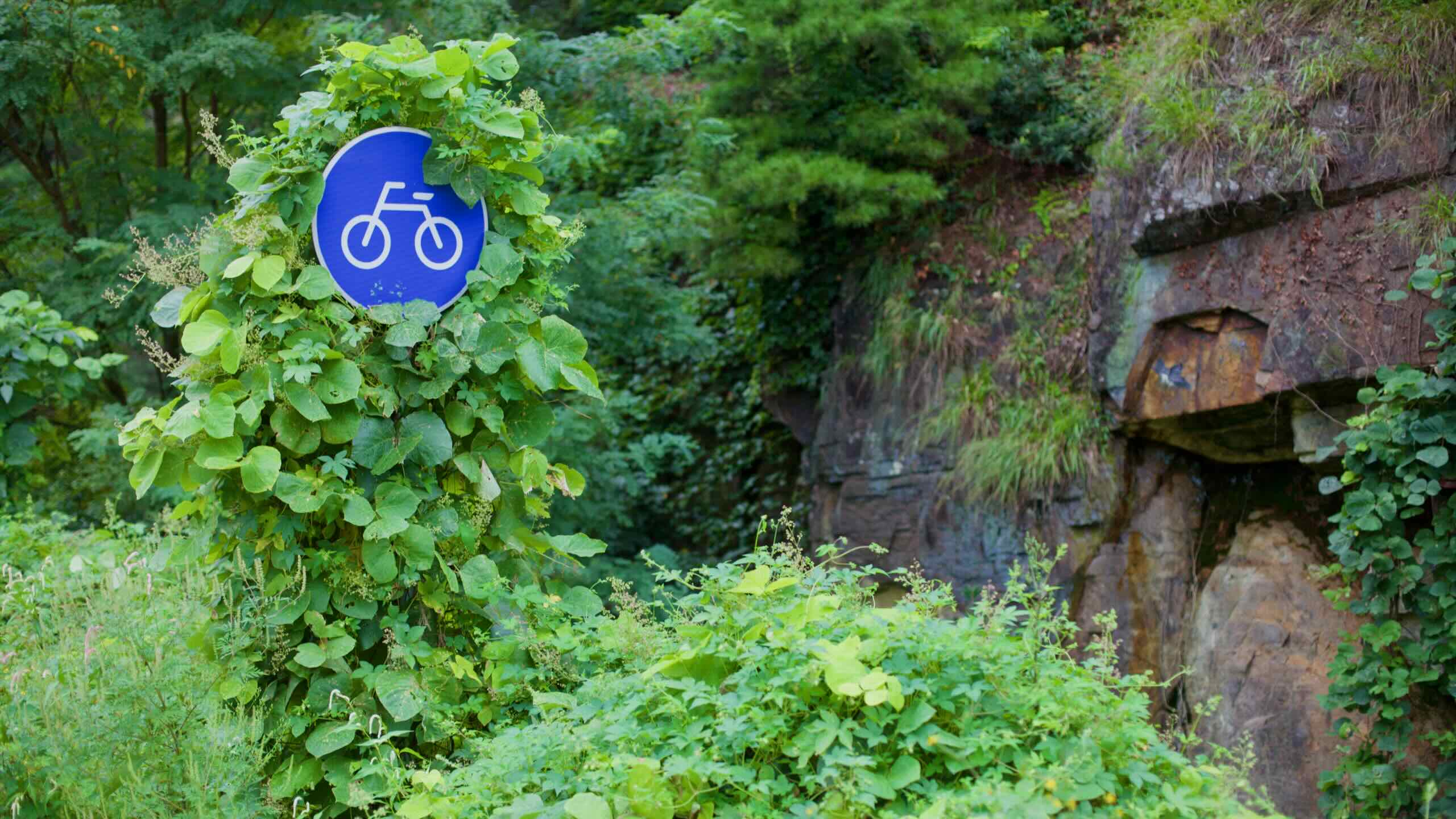
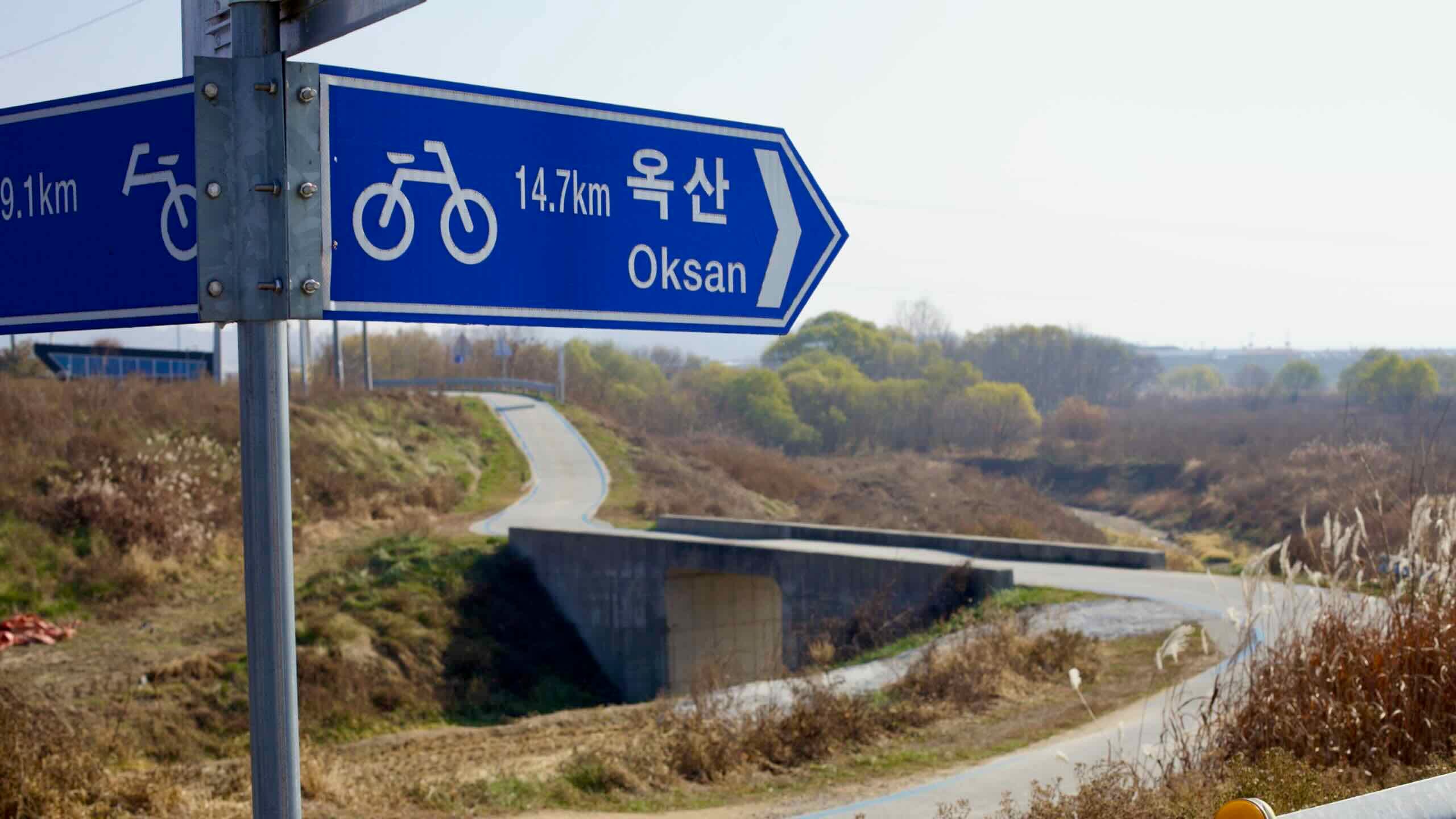
As you travel the certification bike paths, find certification centers or red stamp booths spaced between 10 to 30 kilometers apart. Inside, find stamps to mark your Bike Passport.
Collect all the stamps on a certification bike path to receive a certificate. Ride a group of bike paths, like the Cross-Country Route, to earn an Olympic-style medal.
Korea by Bike provides a set of guides for each certification bike path:
- A bike path profile which gives a general overview (e.g. Saejae Bike Path).
- City-to-city breakdowns that guide you through one-day rides (e.g. Seoul to Yeoju).
- A Highlights page which profiles the most noteworthy sites.
- A description of the local geography (i.e. The Han River).
- And info about How to Get There.
Scroll to explore!
Cross-Country Route
The Cross-Country Route follows a series of cycling paths and picturesque country roads from South Korea’s northwest to the southeast tip of the peninsula.
Four separate certification bike paths create the route, each strung together to form a continuous path.


The Stats
Incheon City
(인천시)
34 hours
Busan City
(부산시)

- Time 33.5 hours (5 to 9 days)
- Length 633 km (393 miles)
- Elevation 539 m | 1 m (1,768 ft | 3 ft)
- Difficulty 🚲🚲🚲🚲
- Certifications Hangang Path, Saejae Path, Nakdonggang Path, Four Rivers, Cross-Country, Grand Slam


Cycle a short stretch from the Yellow Sea, down a canal, and onto the edge of Seoul.

Cycle a short stretch from the Yellow Sea, down a canal, and onto the edge of Seoul.

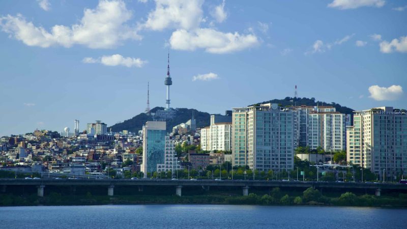
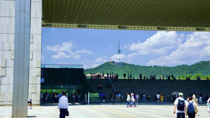
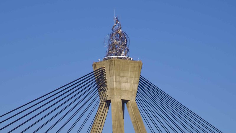
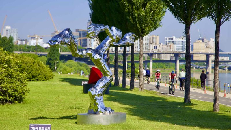
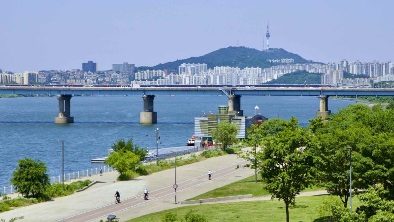
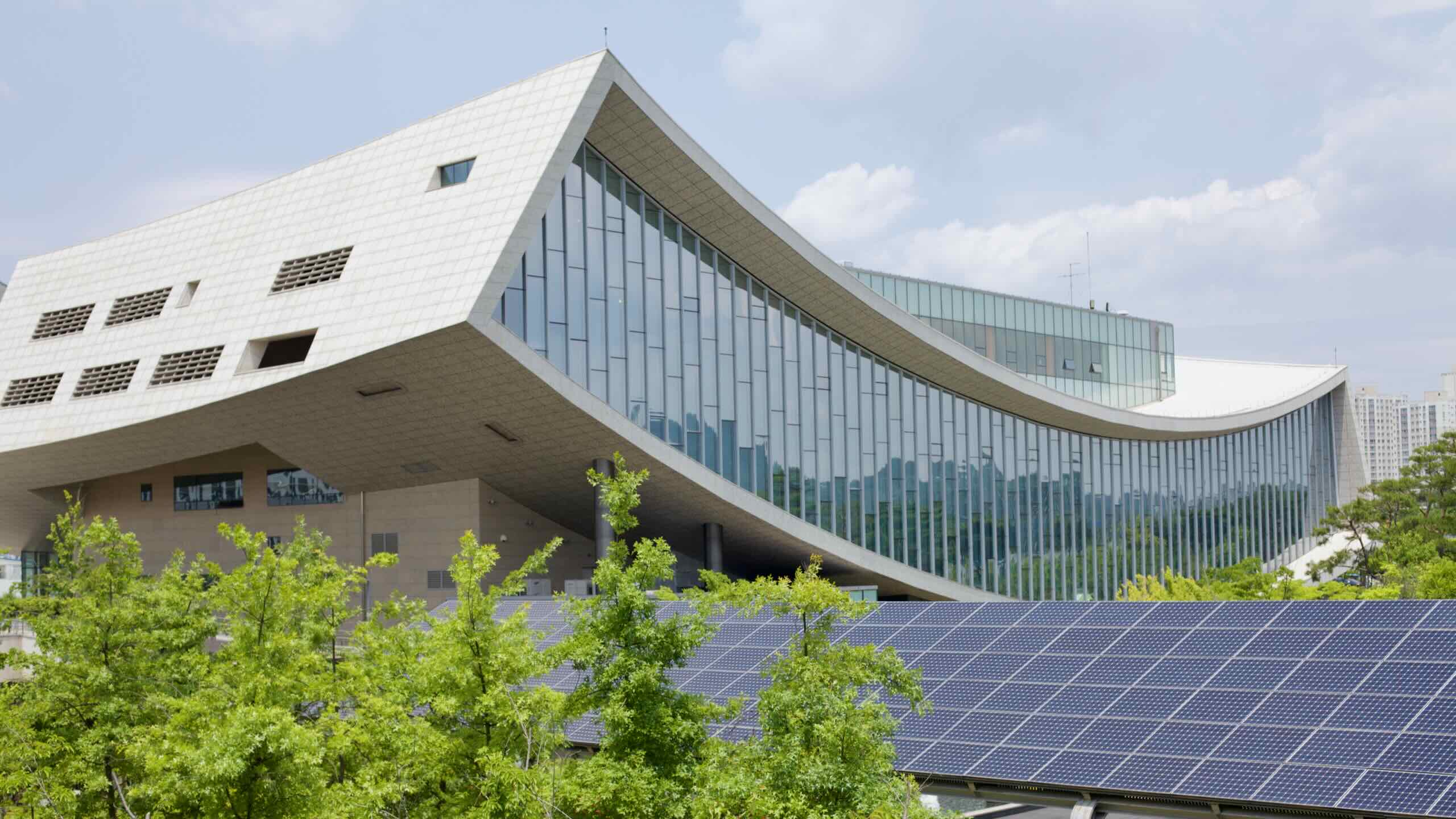
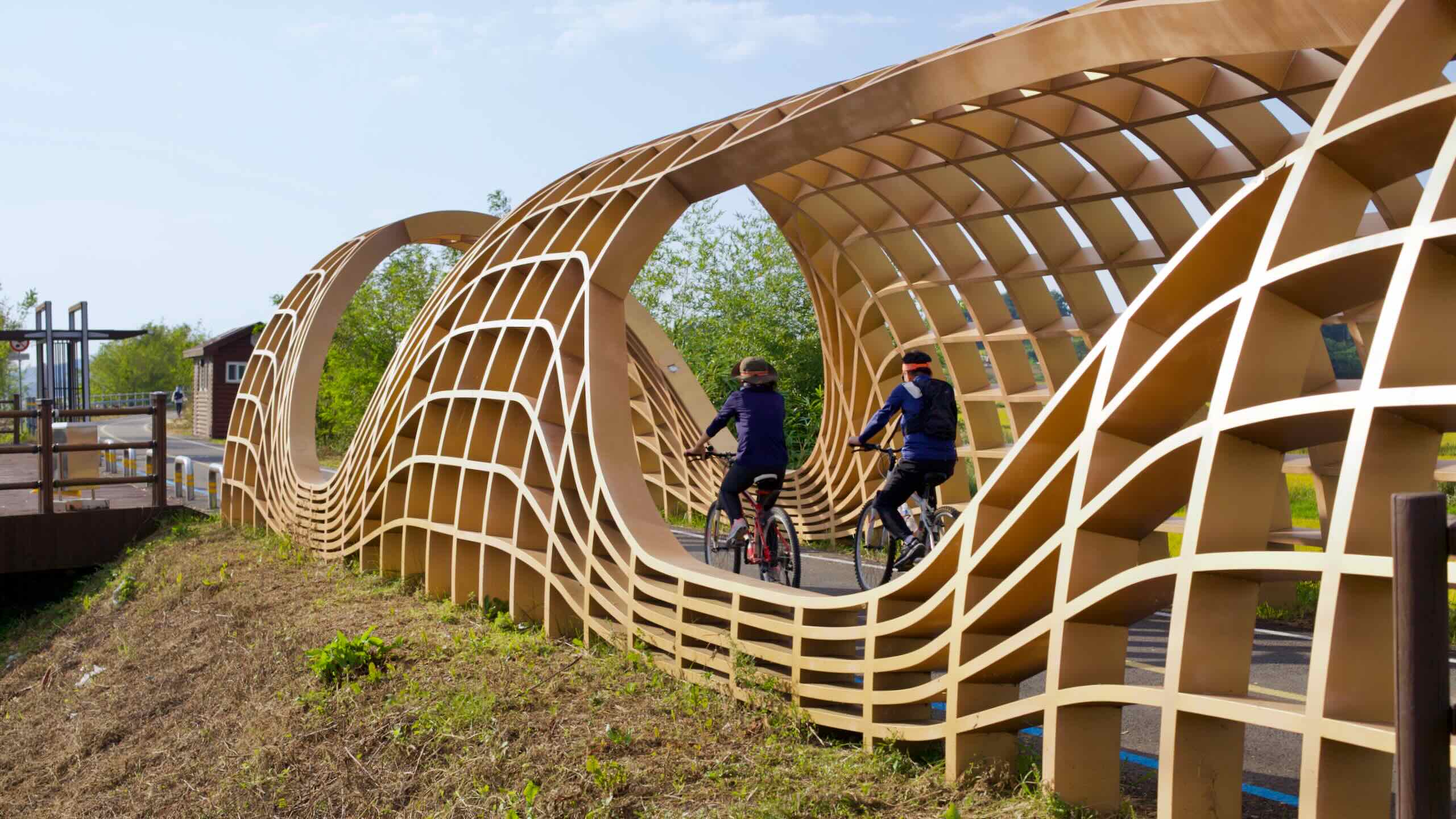
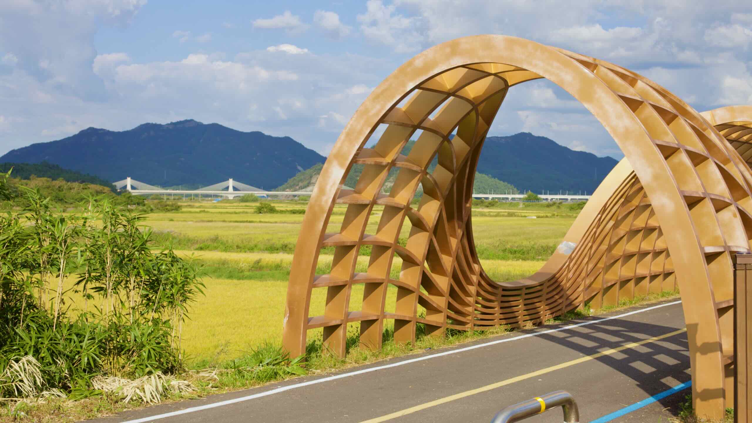
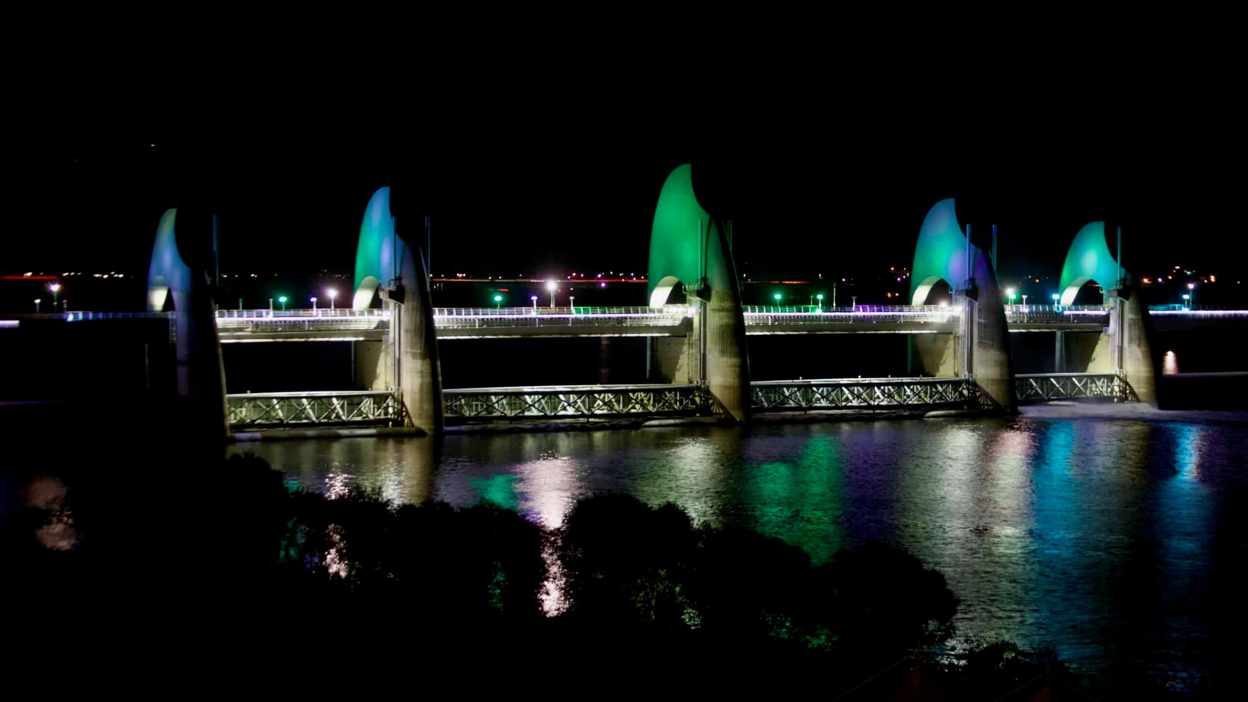
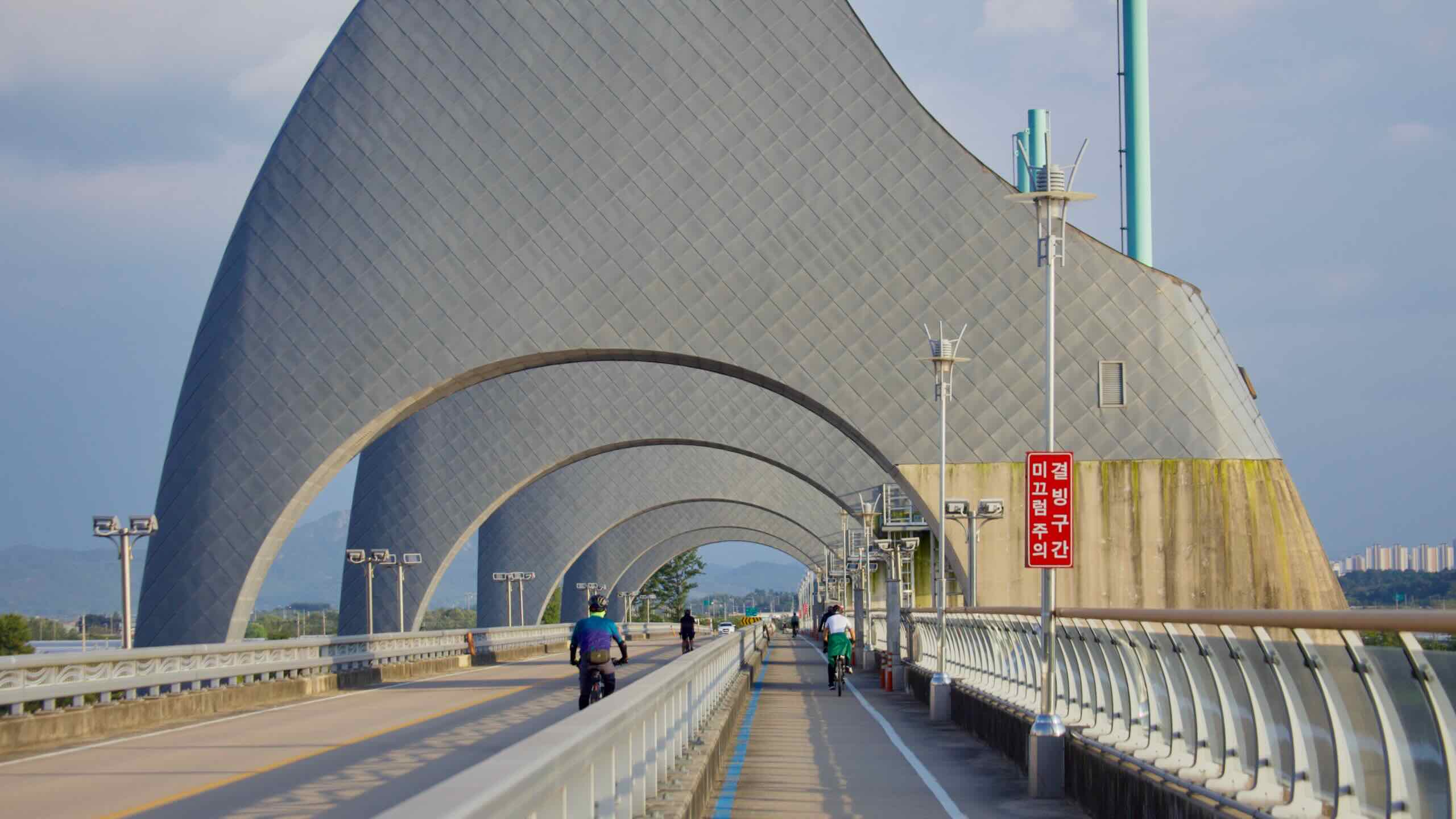
Ride the Han and South Han Rivers through Seoul, into tunnels, over weirs, and by river isles.


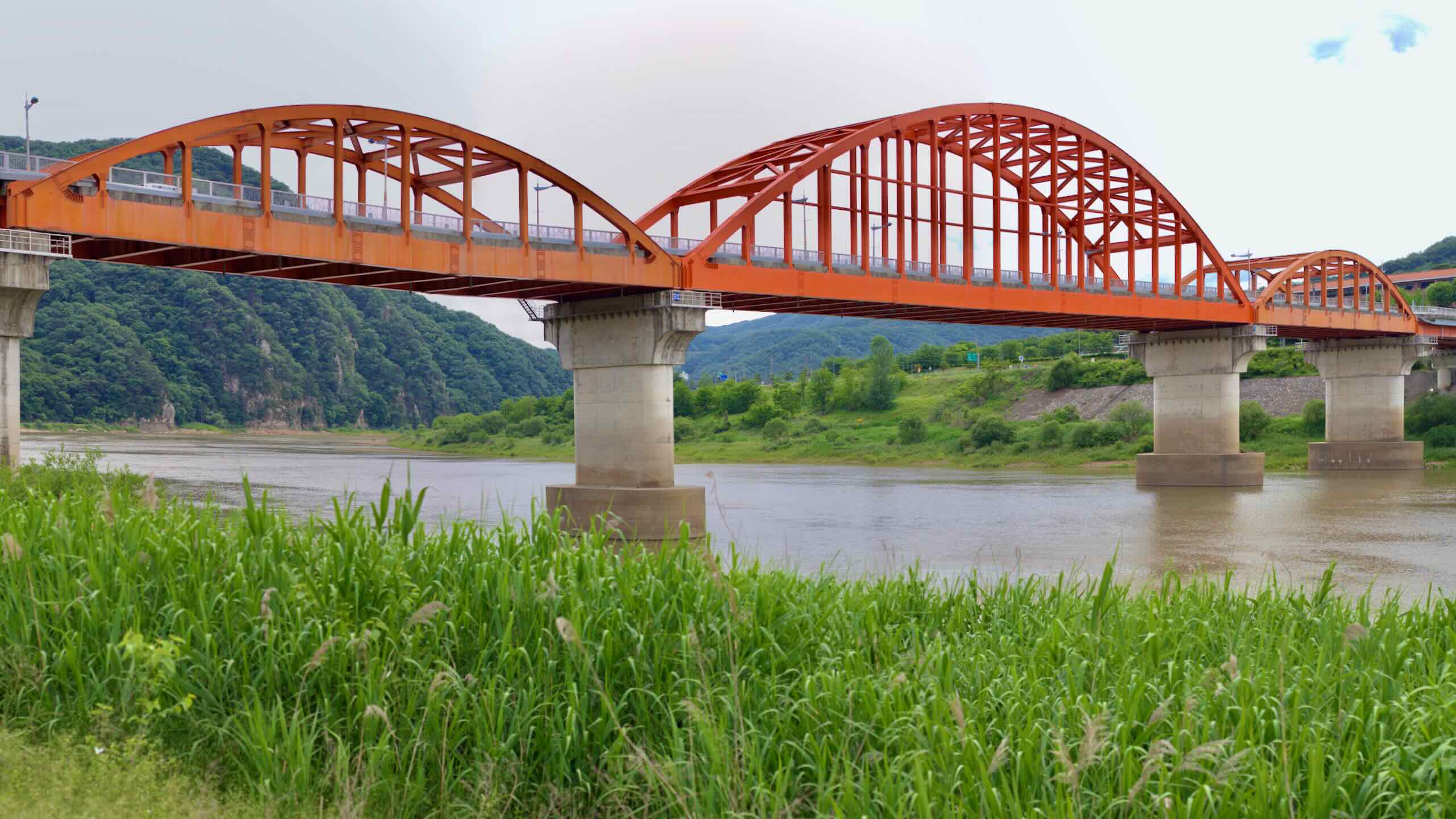
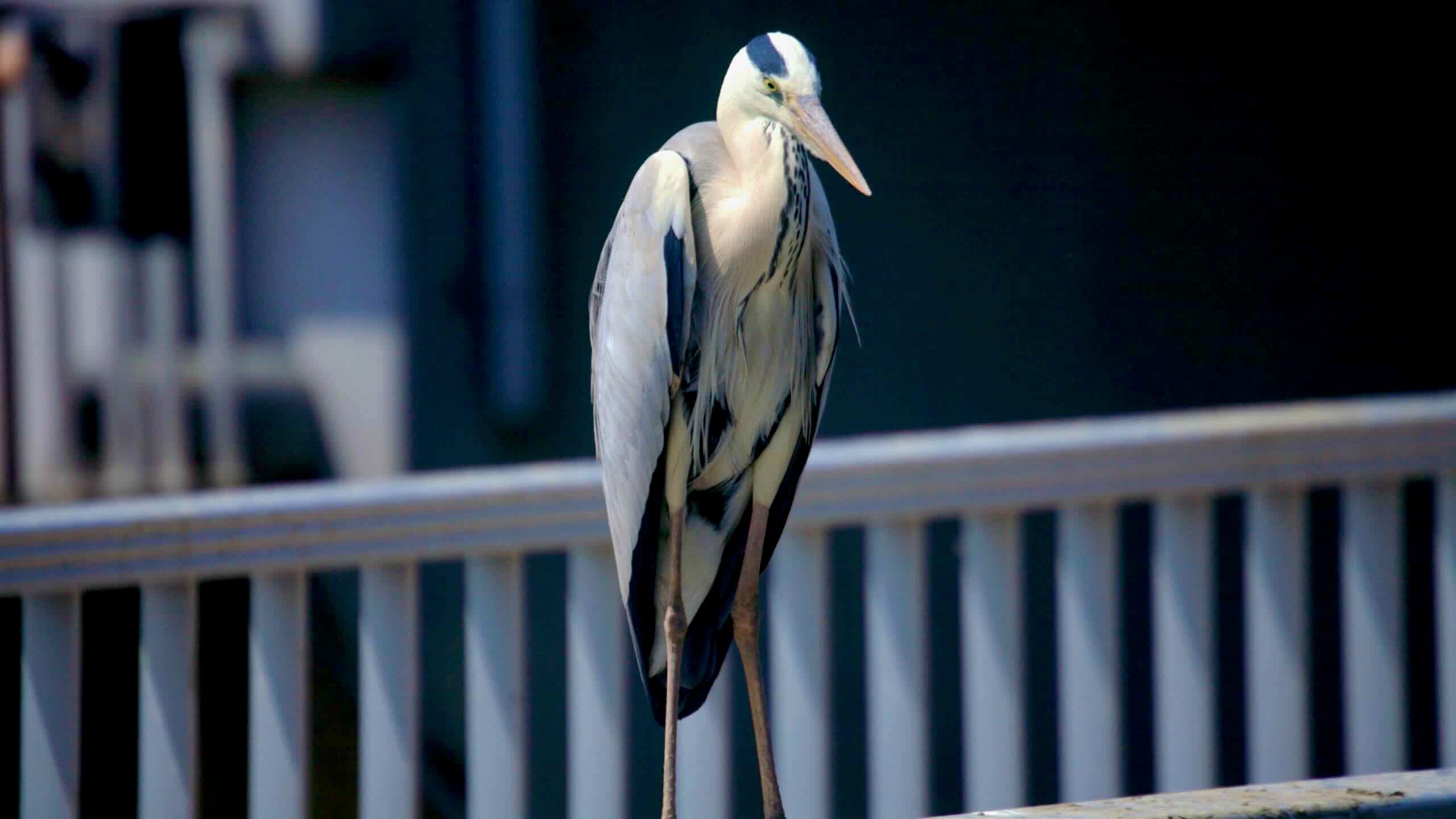
Track the Nakdong River by architectural wonders, ancient academies, and bird sanctuaries.

Track the Nakdong River by architectural wonders, ancient academies, and bird sanctuaries.
Overview
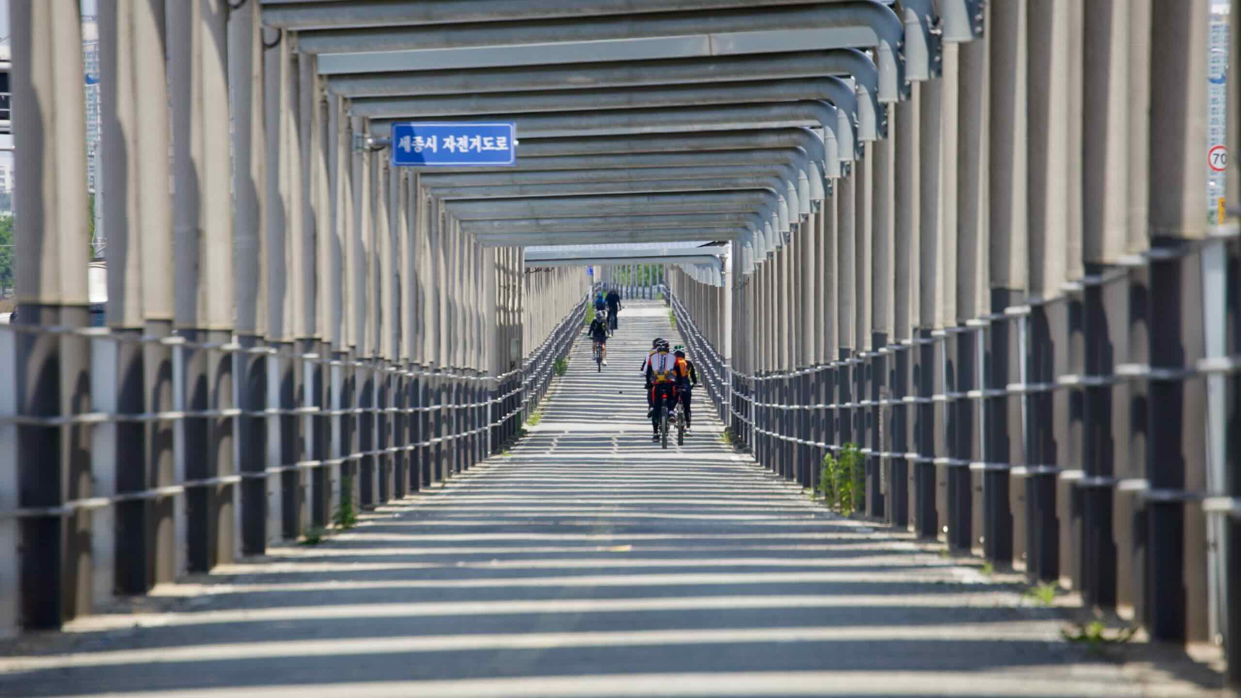
The Ara Bicycle Path starts near the Yellow Sea in Incheon City. It rides east for a quick 21 kilometers and ends on the Han River in Seoul.
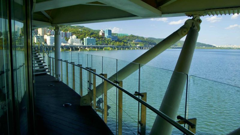
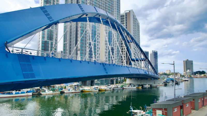
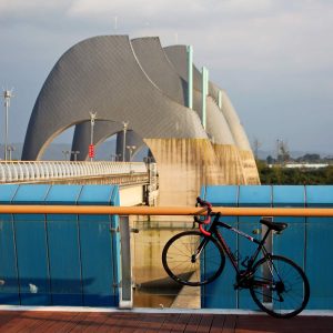
The Han River (Hangang) Bike Path continues the Cross-Country Route. It flies through the capital’s core, offering glimpses at iconic highlights.


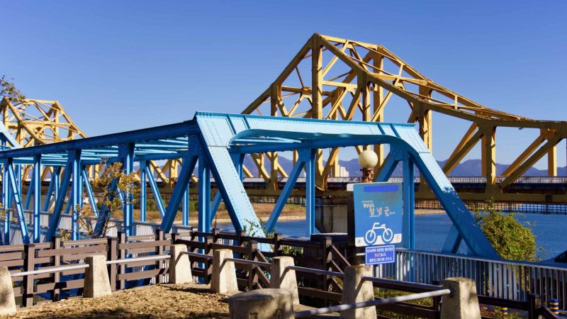
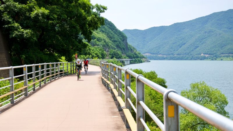
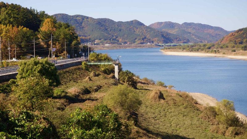
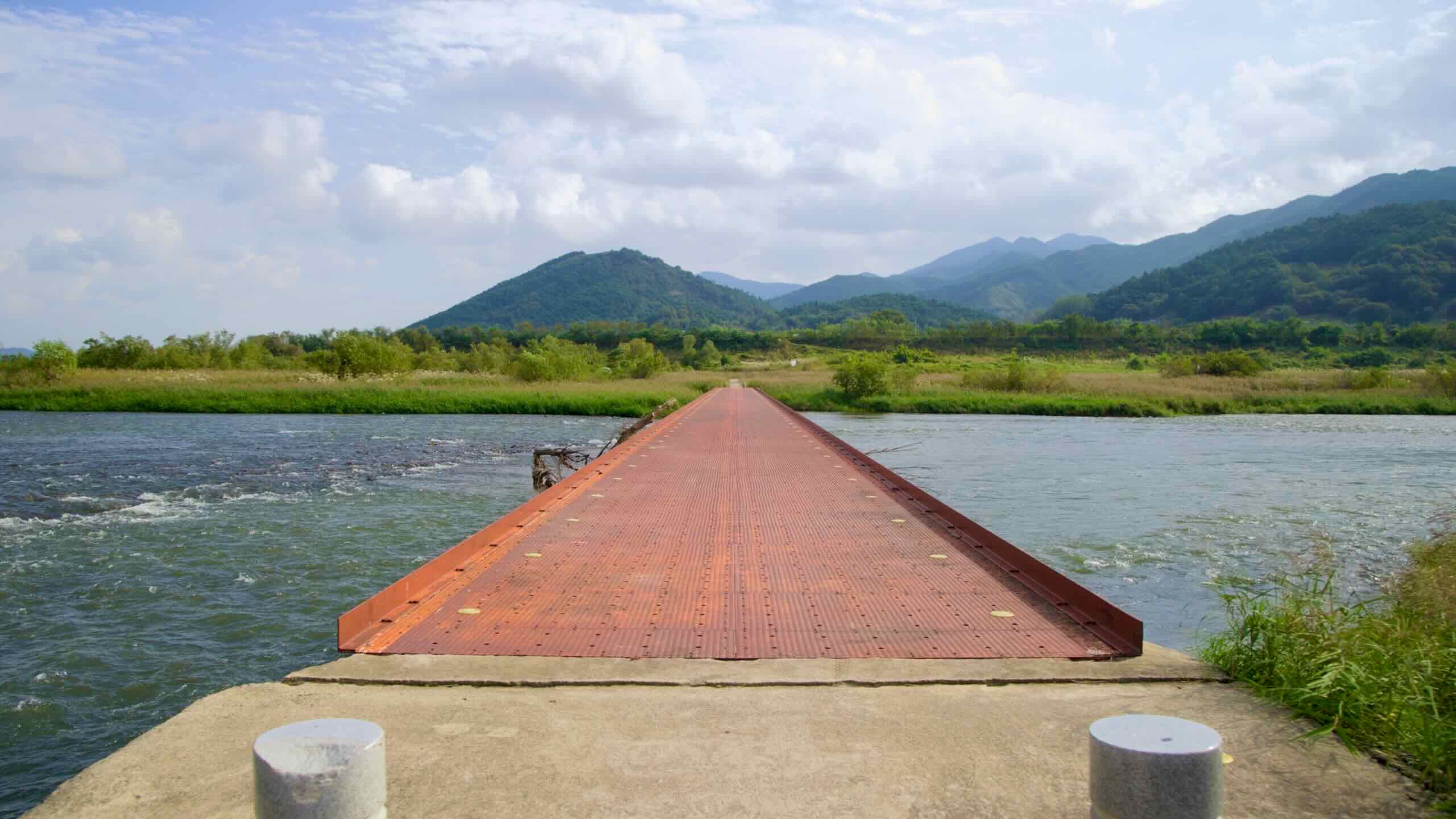
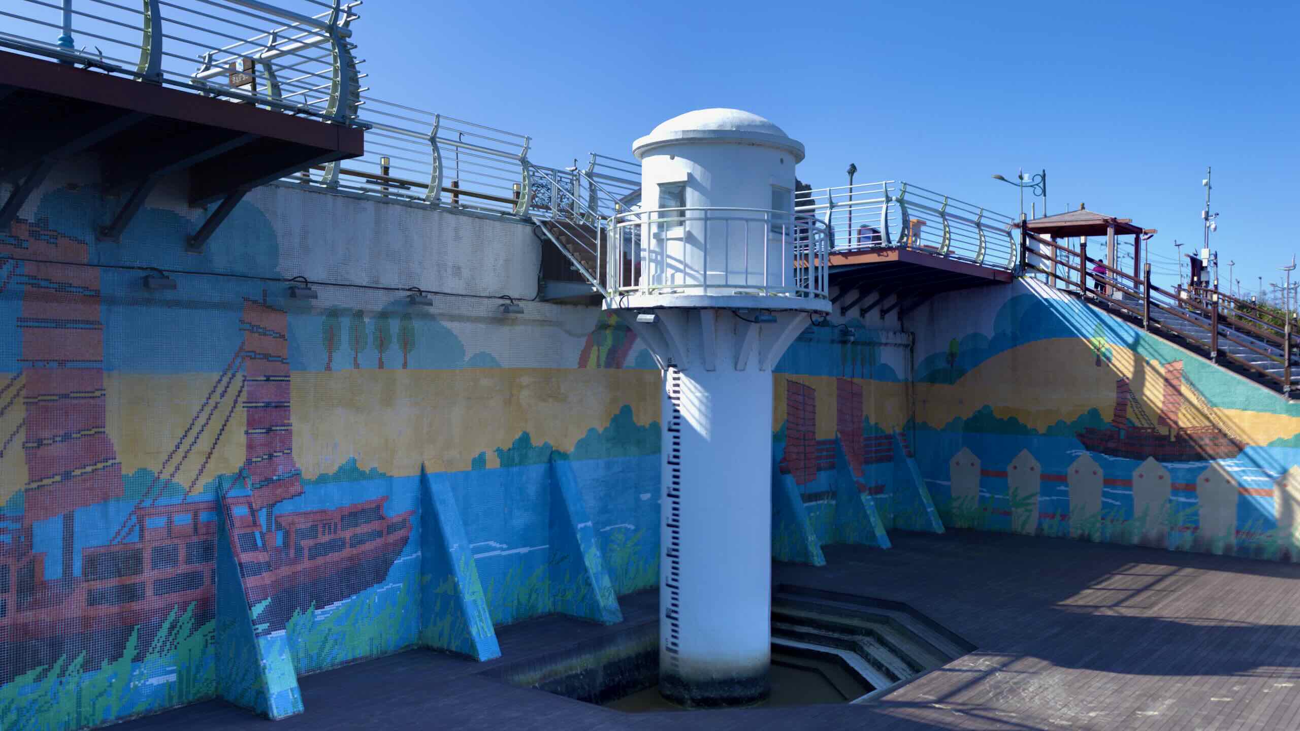
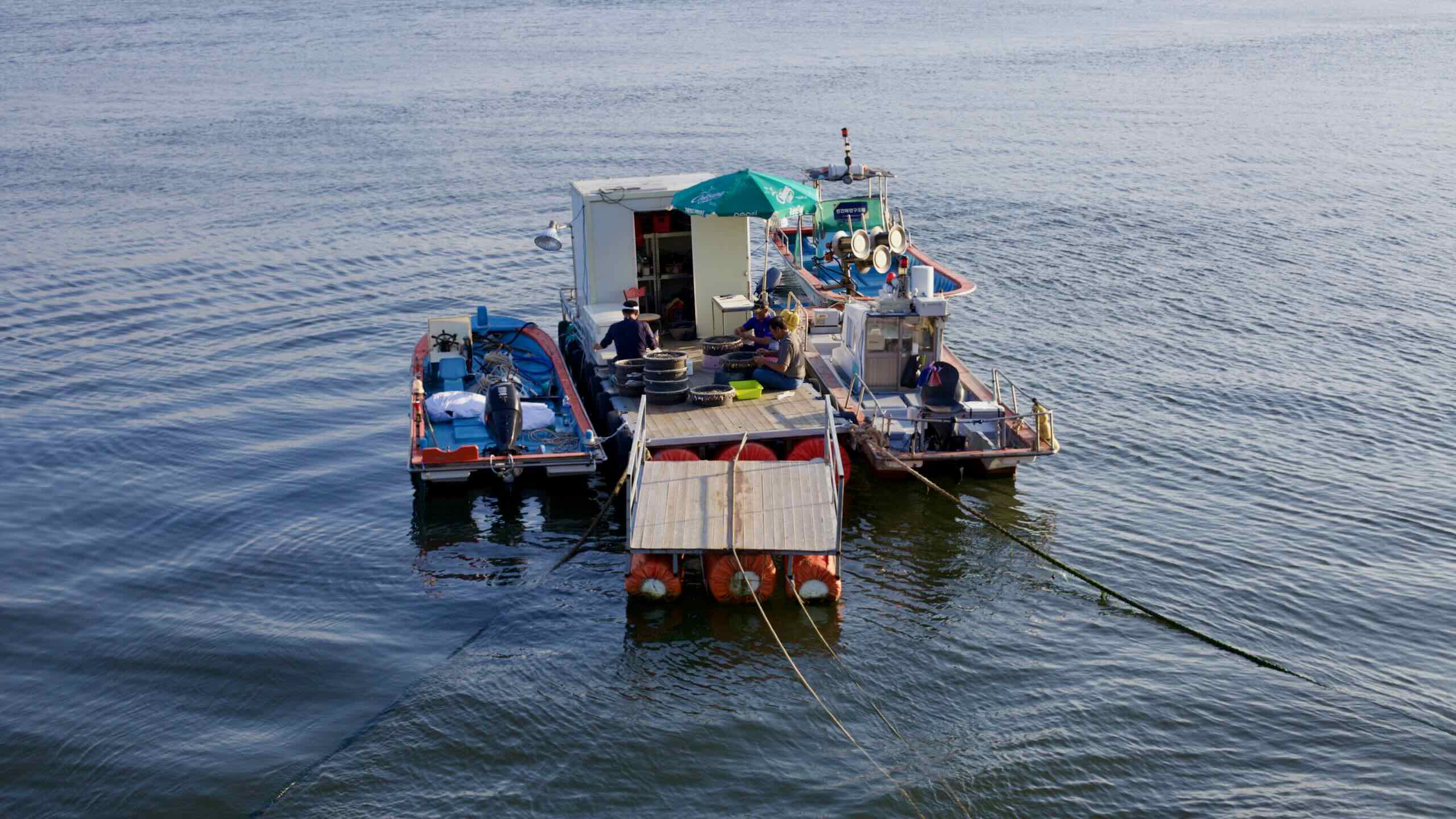
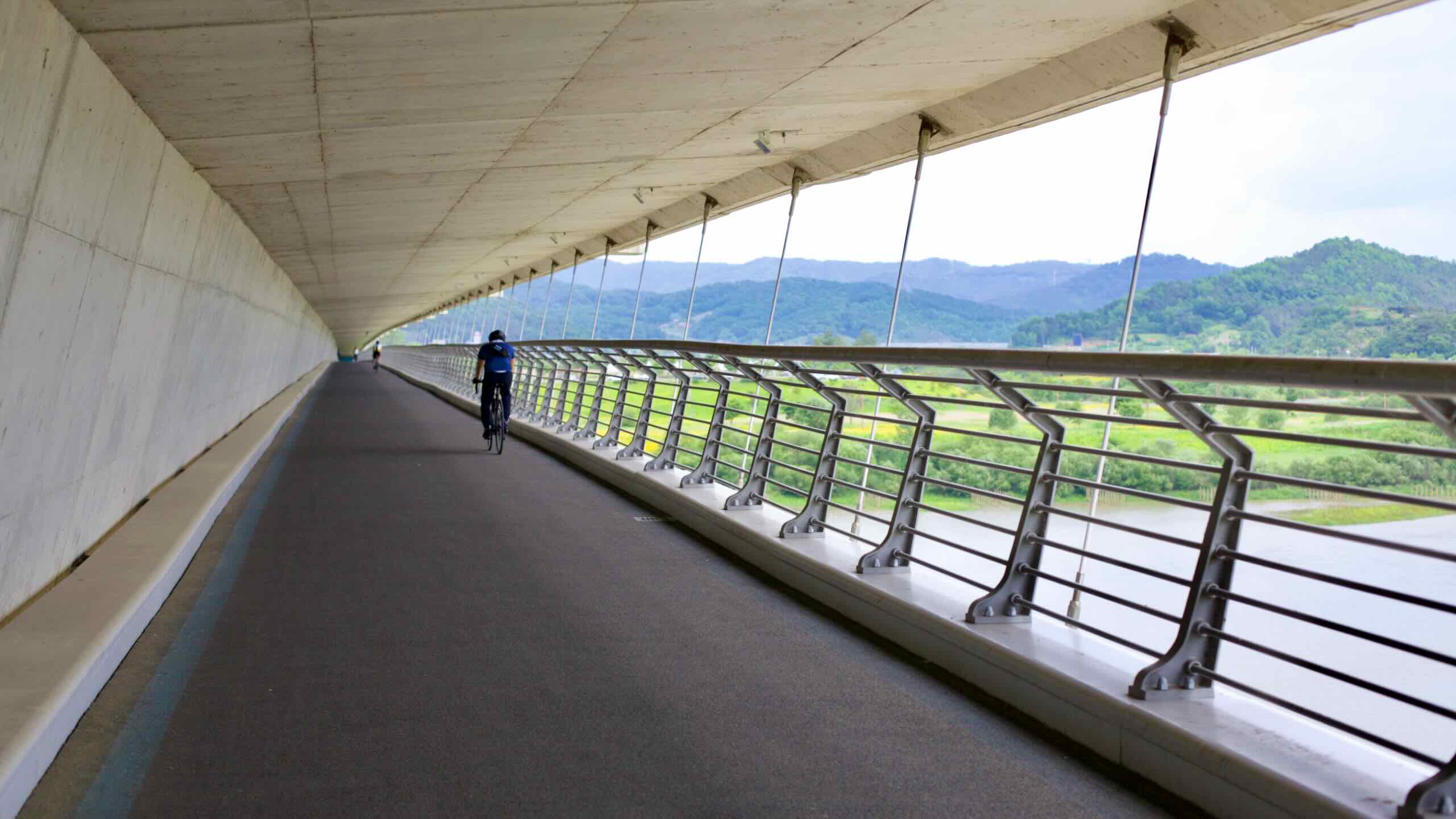
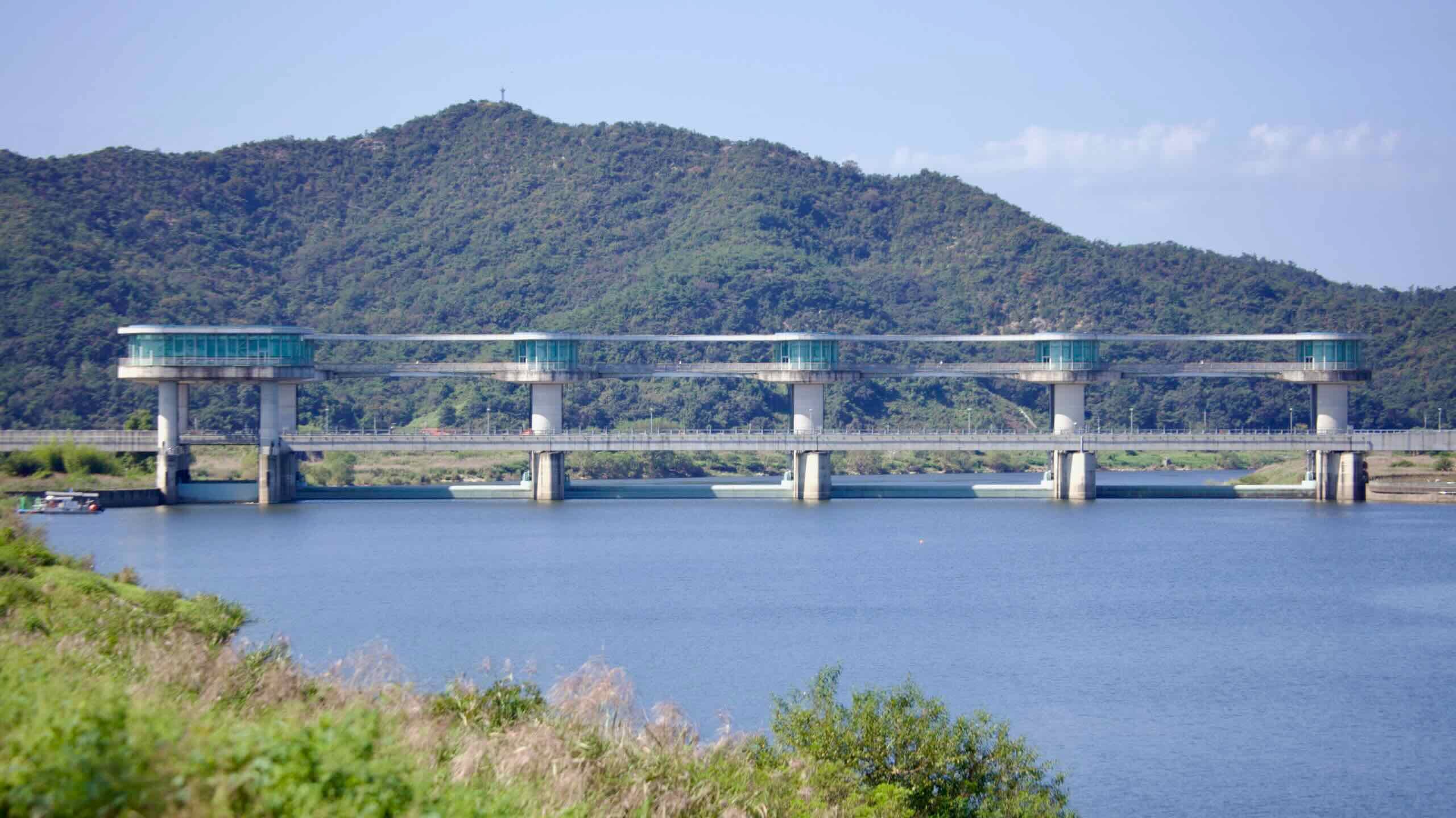
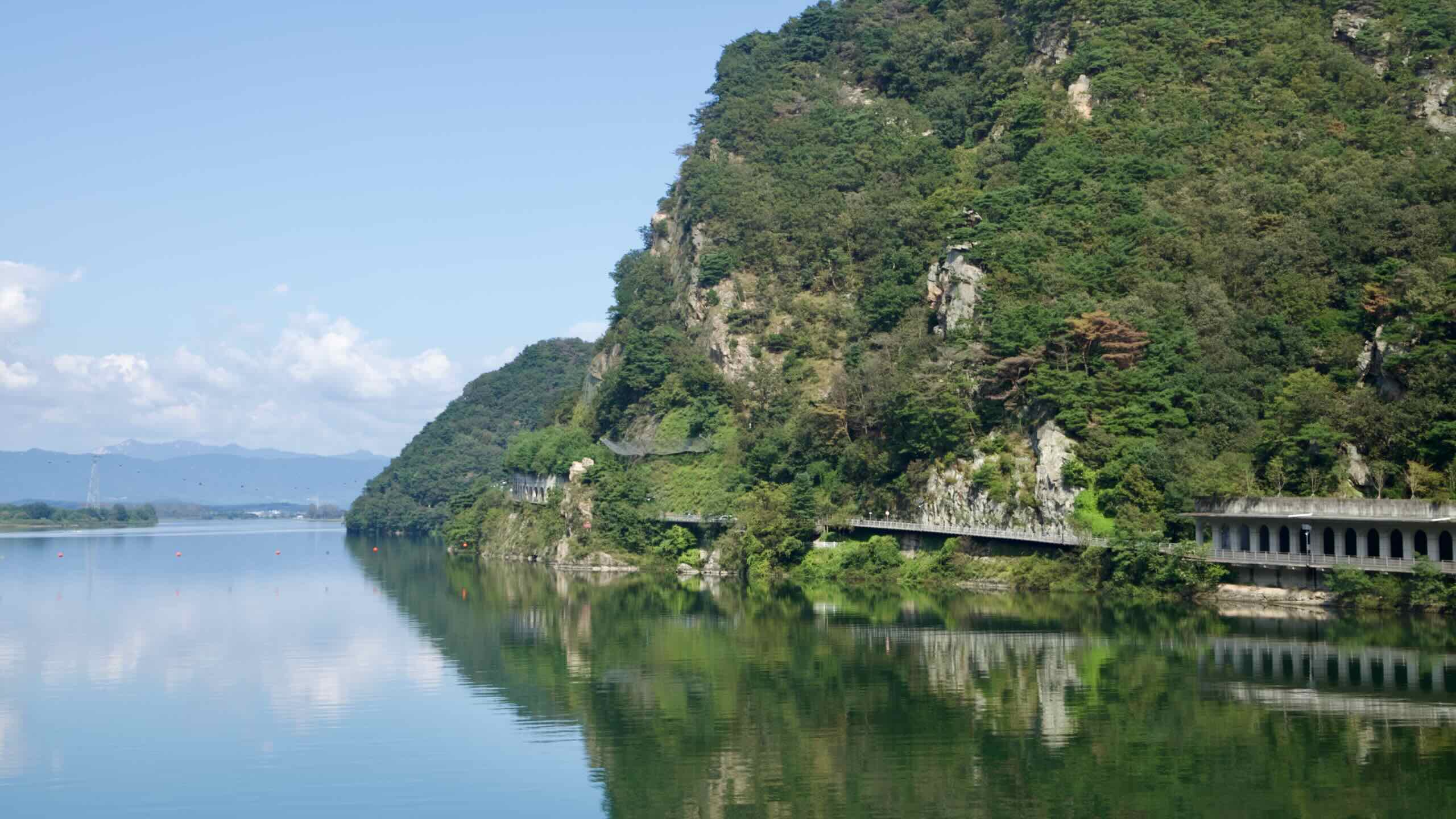
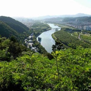
After leaving the mega-city, travel the pastoral South Han River. Ride old rail bridges and tunnels, by watergates, and past river islands filled with migrating birds.
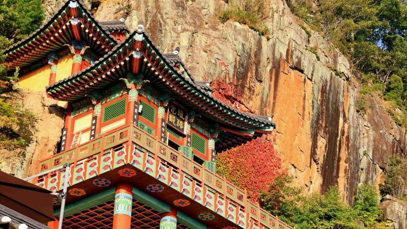
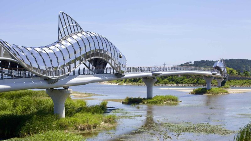
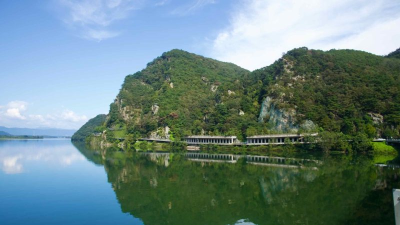
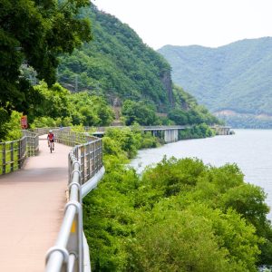
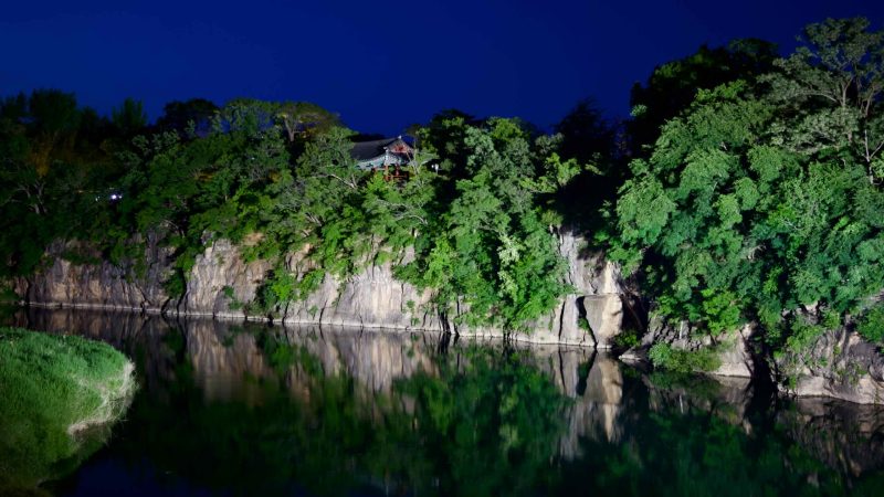
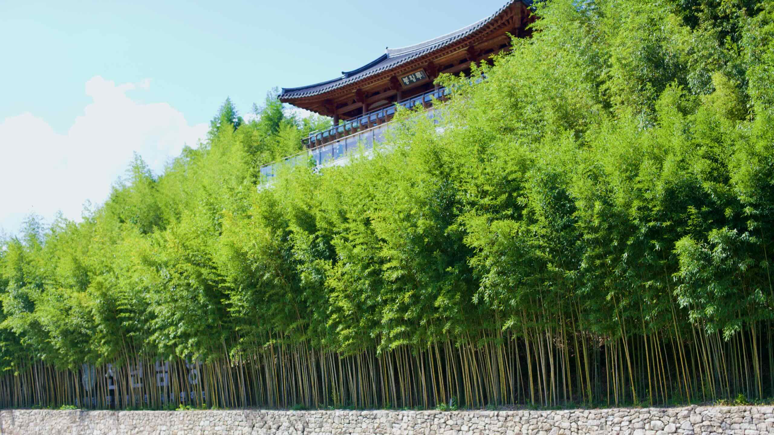
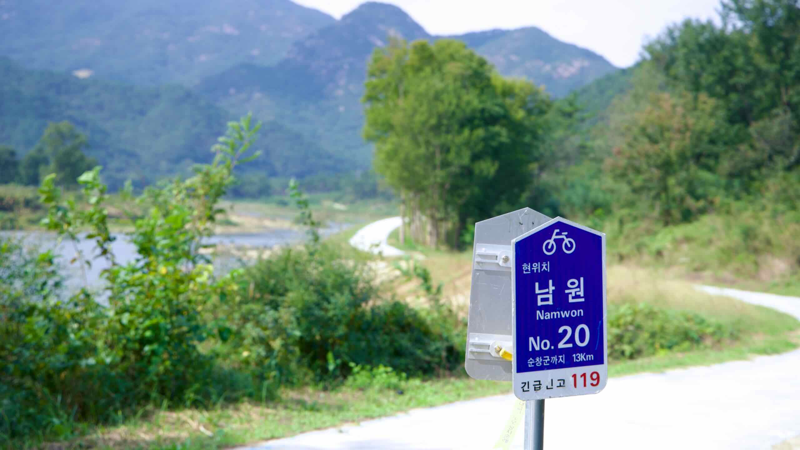
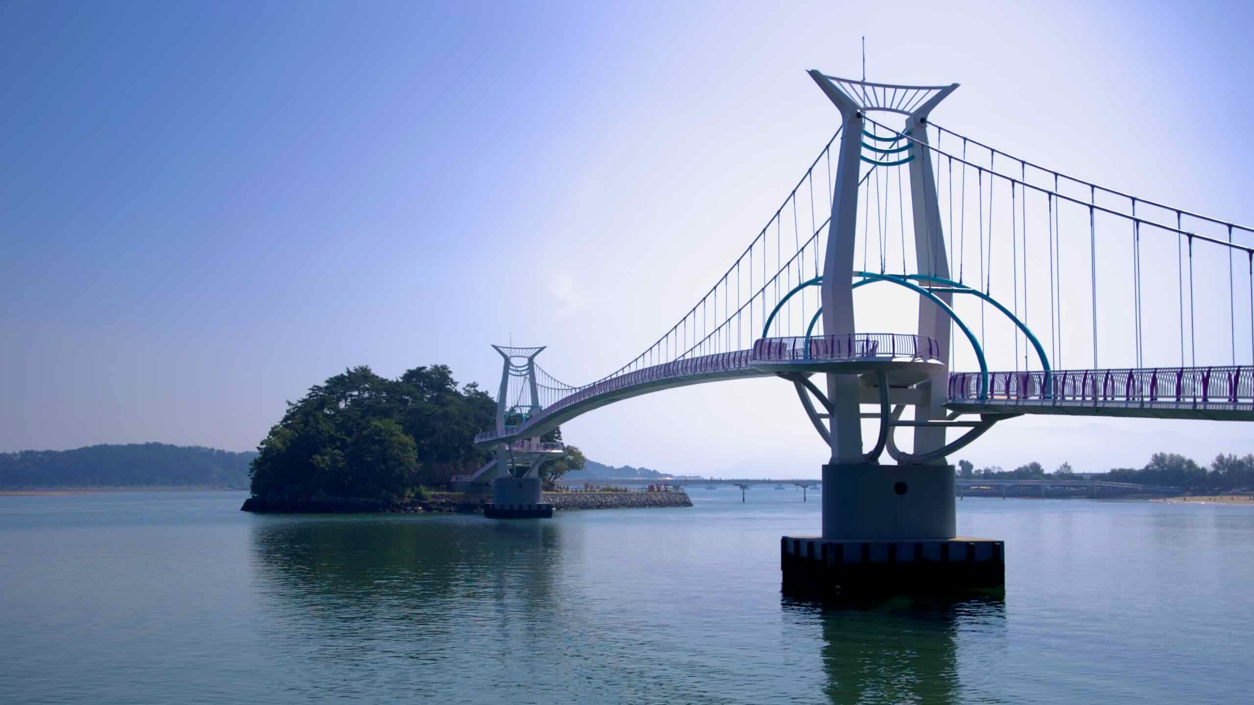
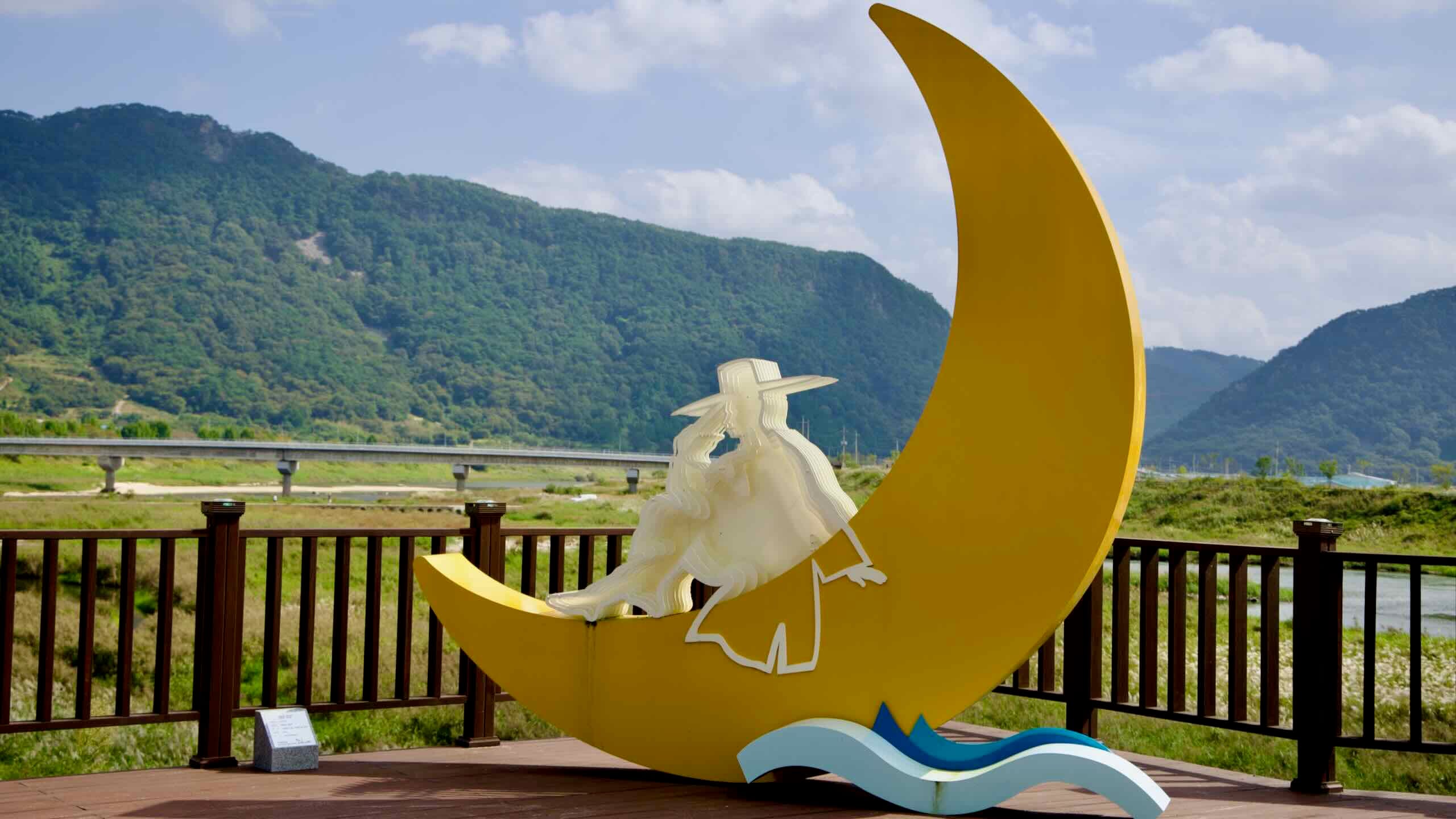
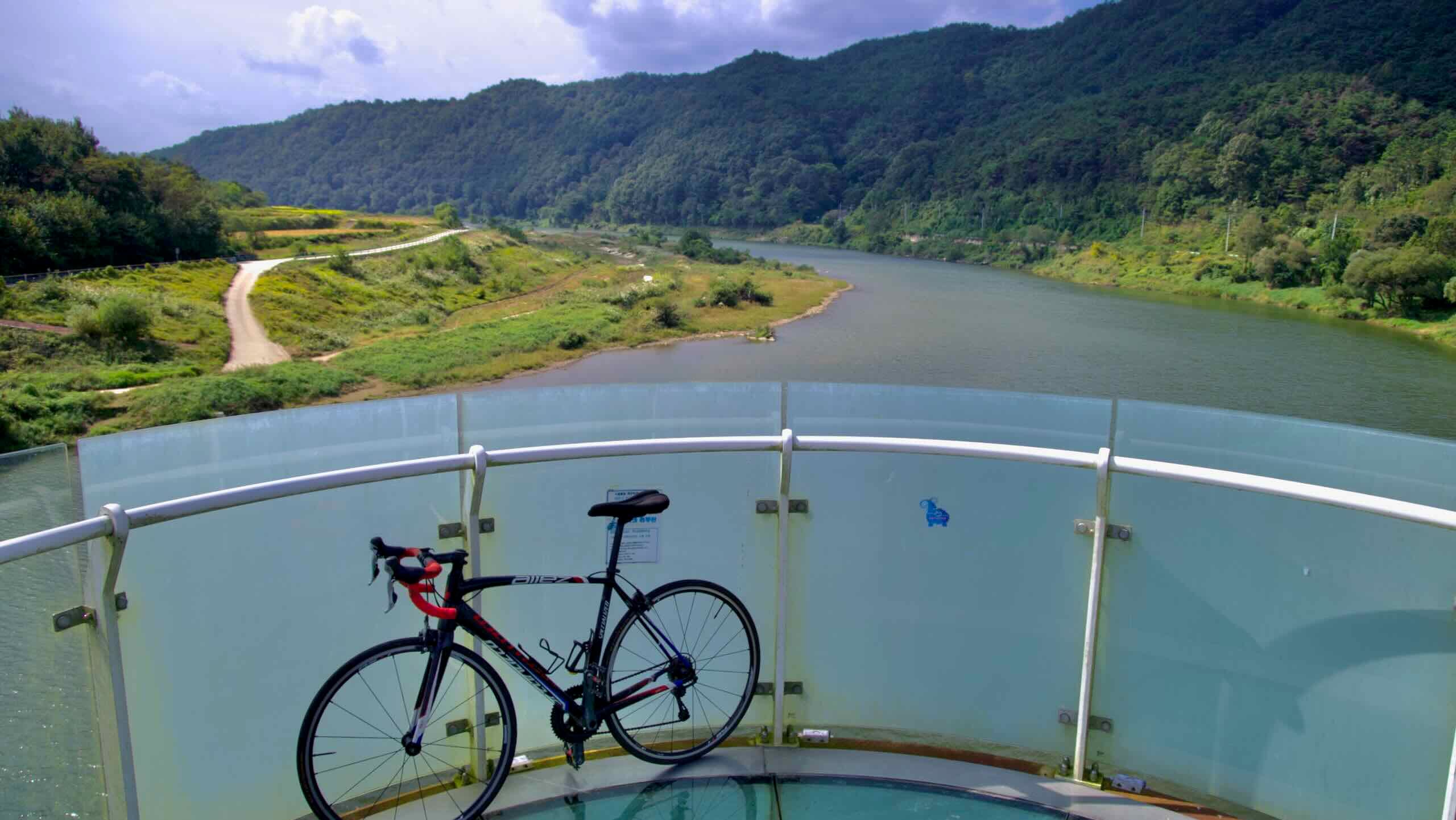
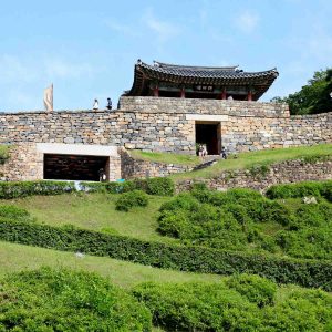
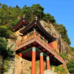
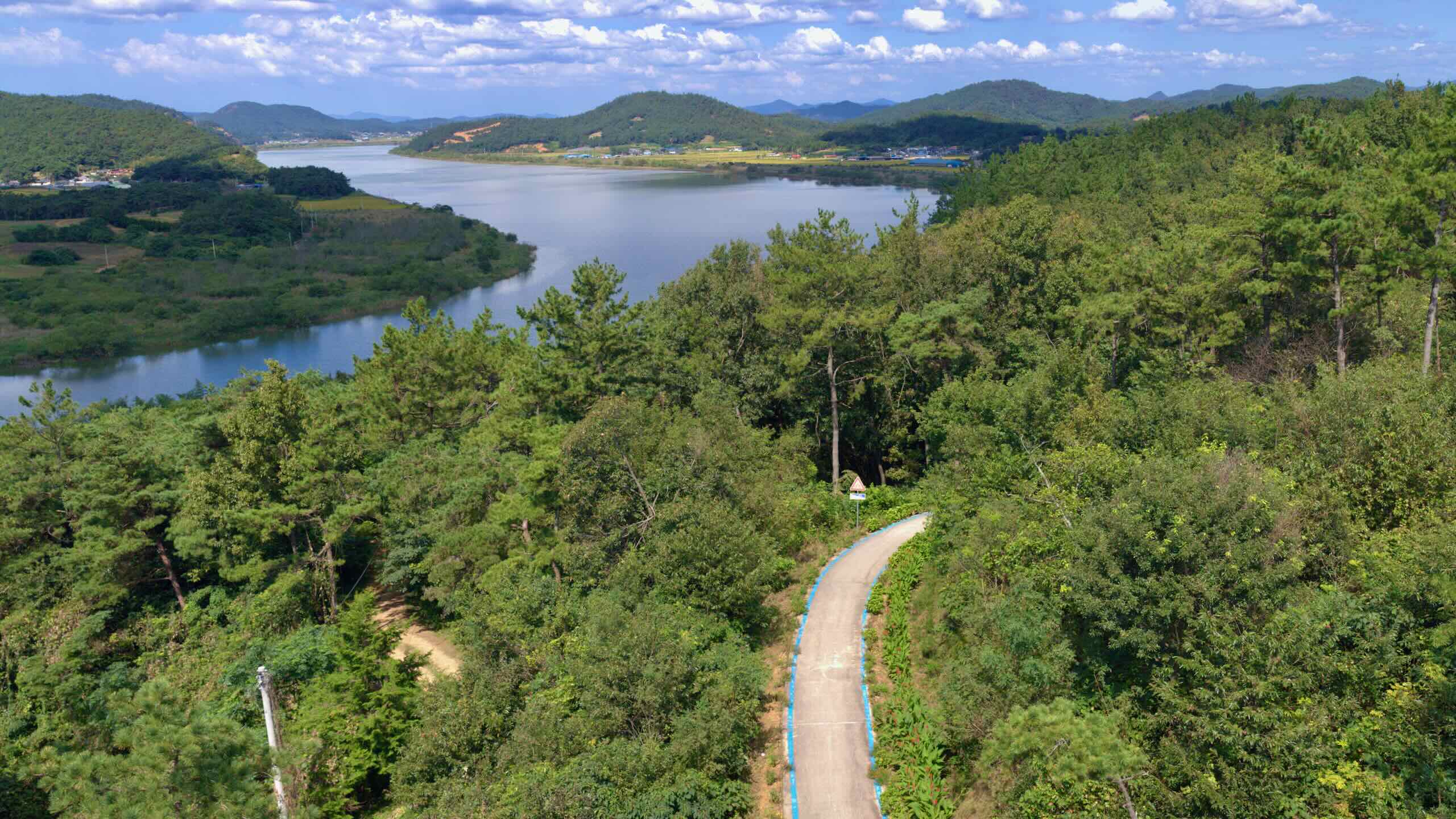
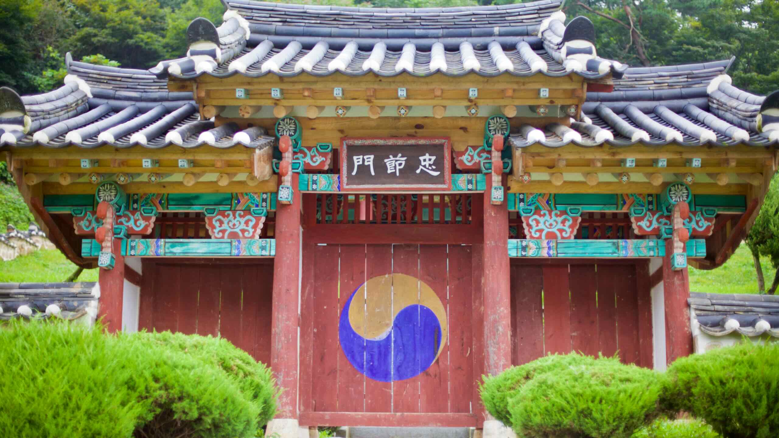
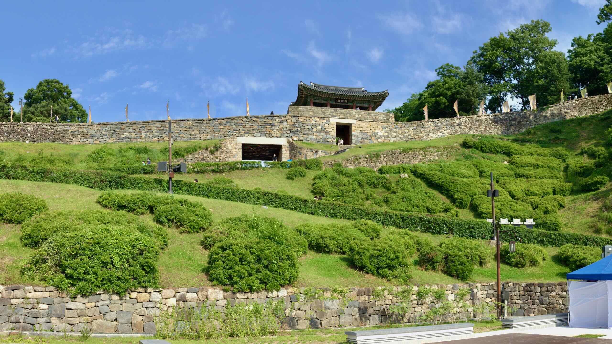
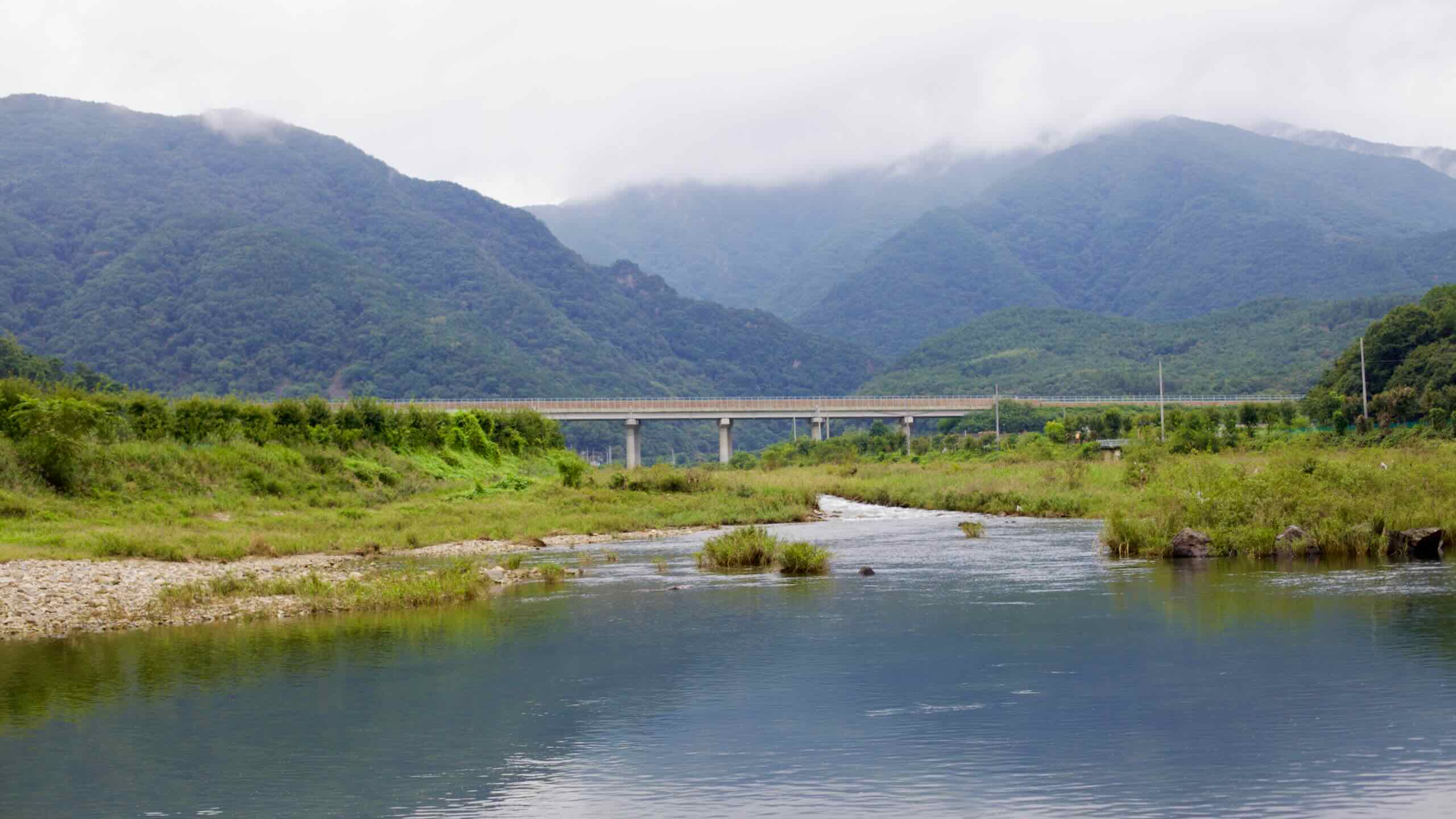
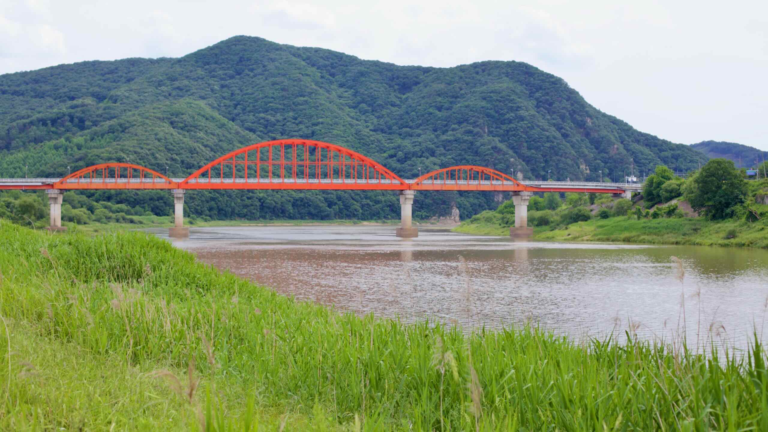
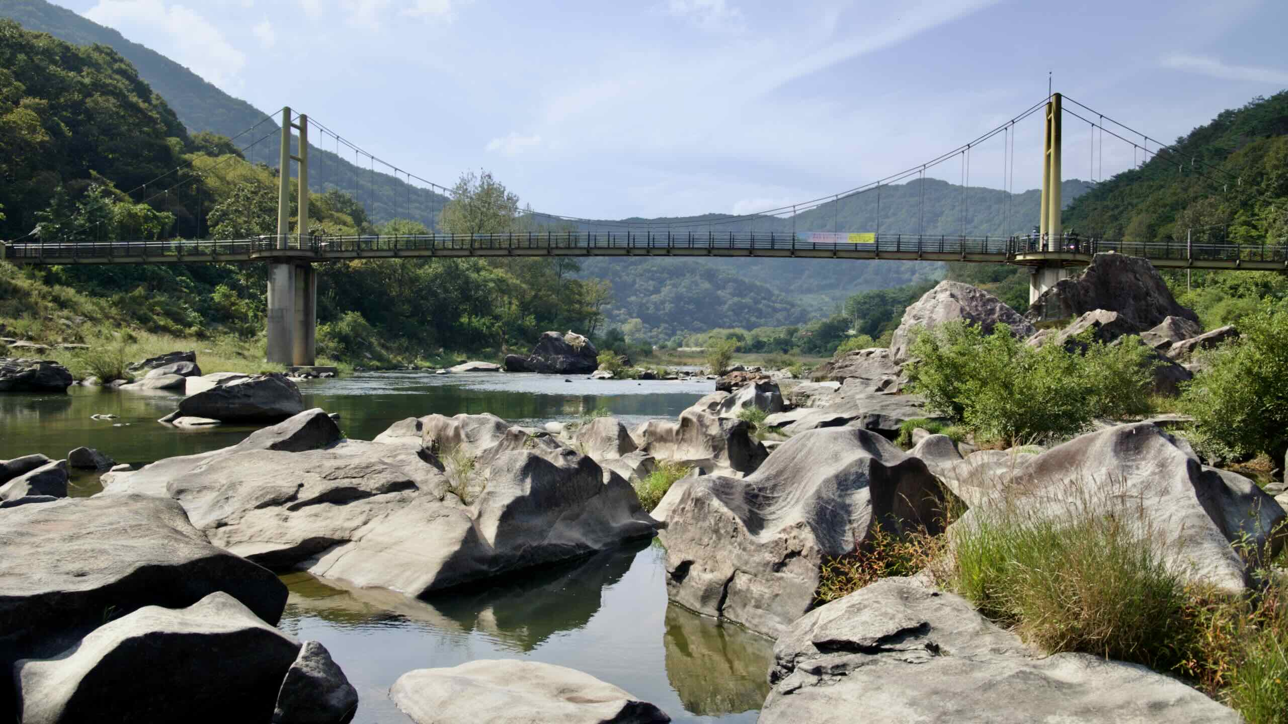
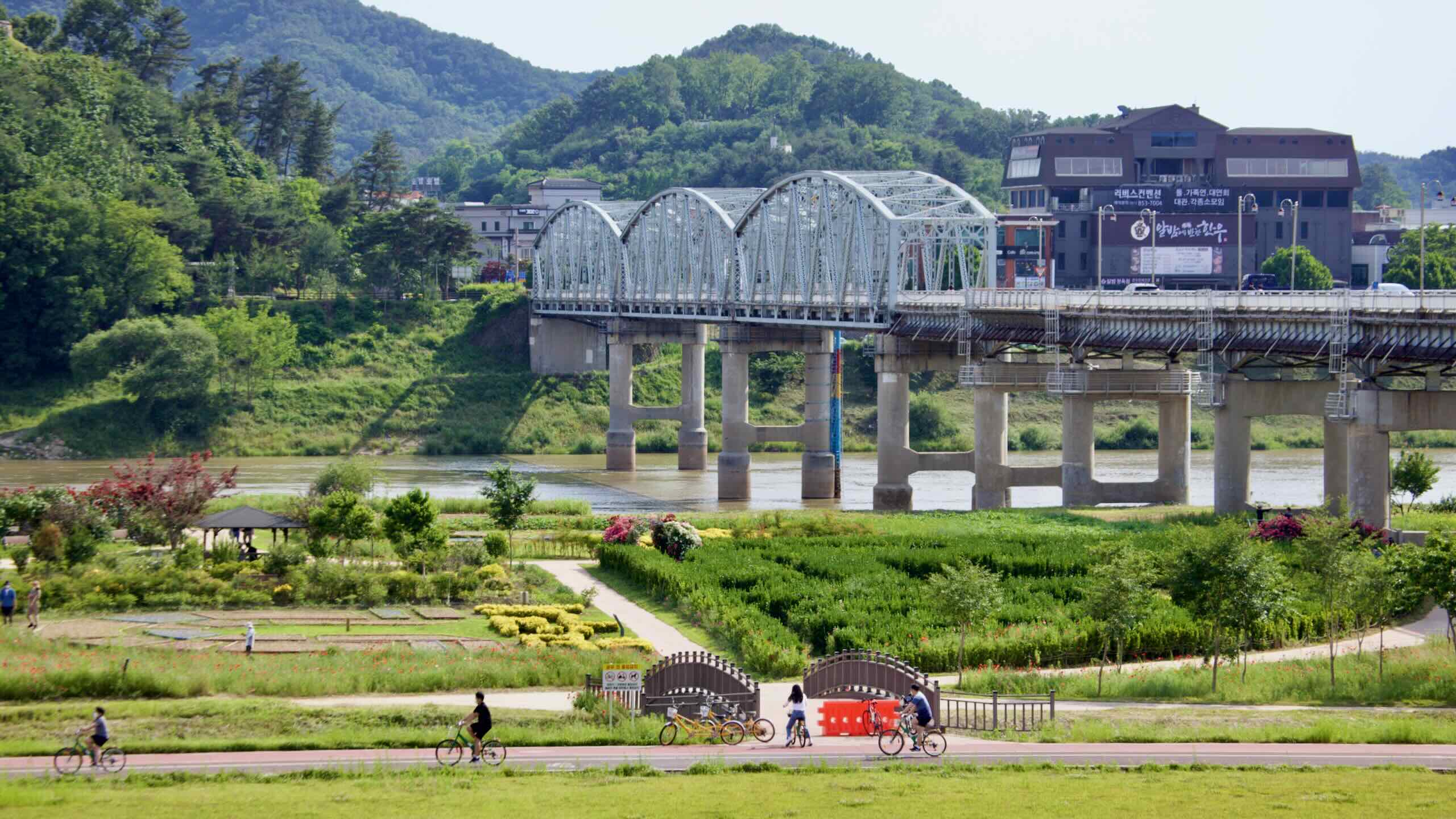
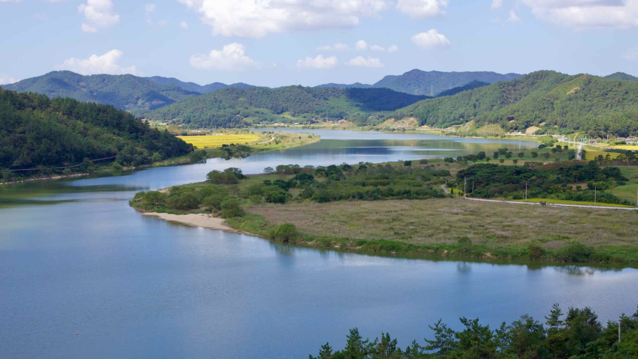
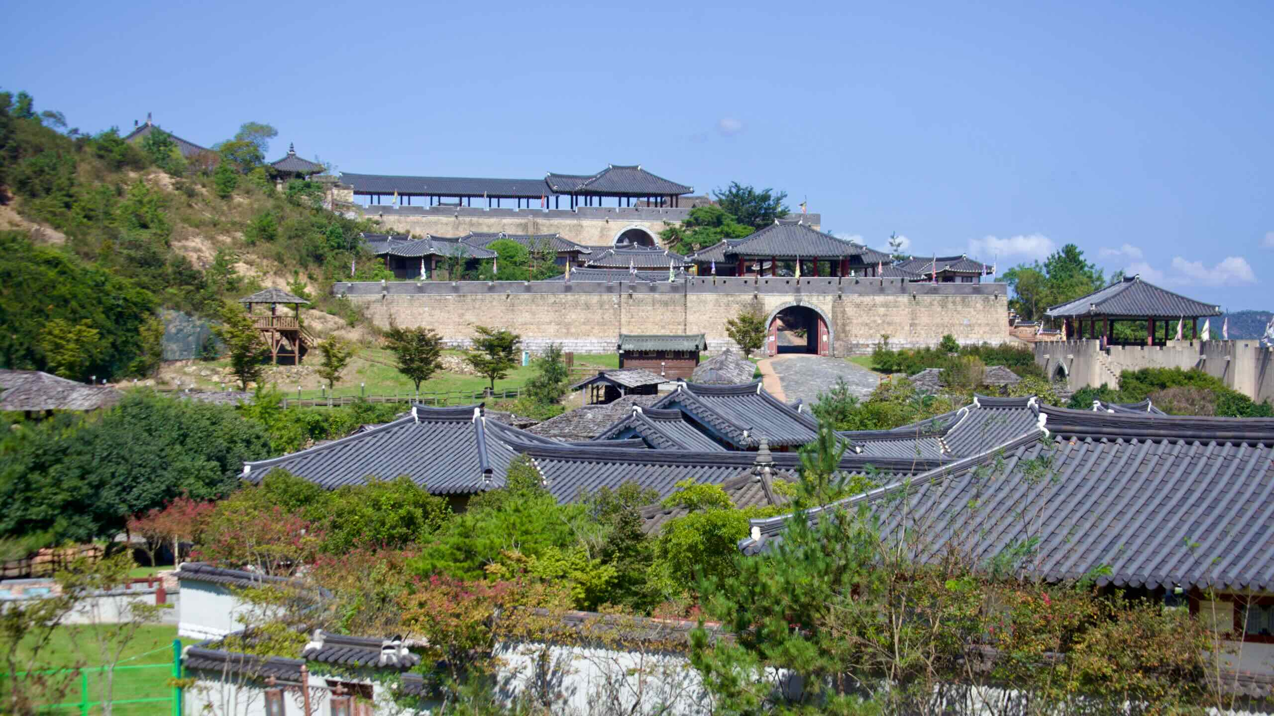
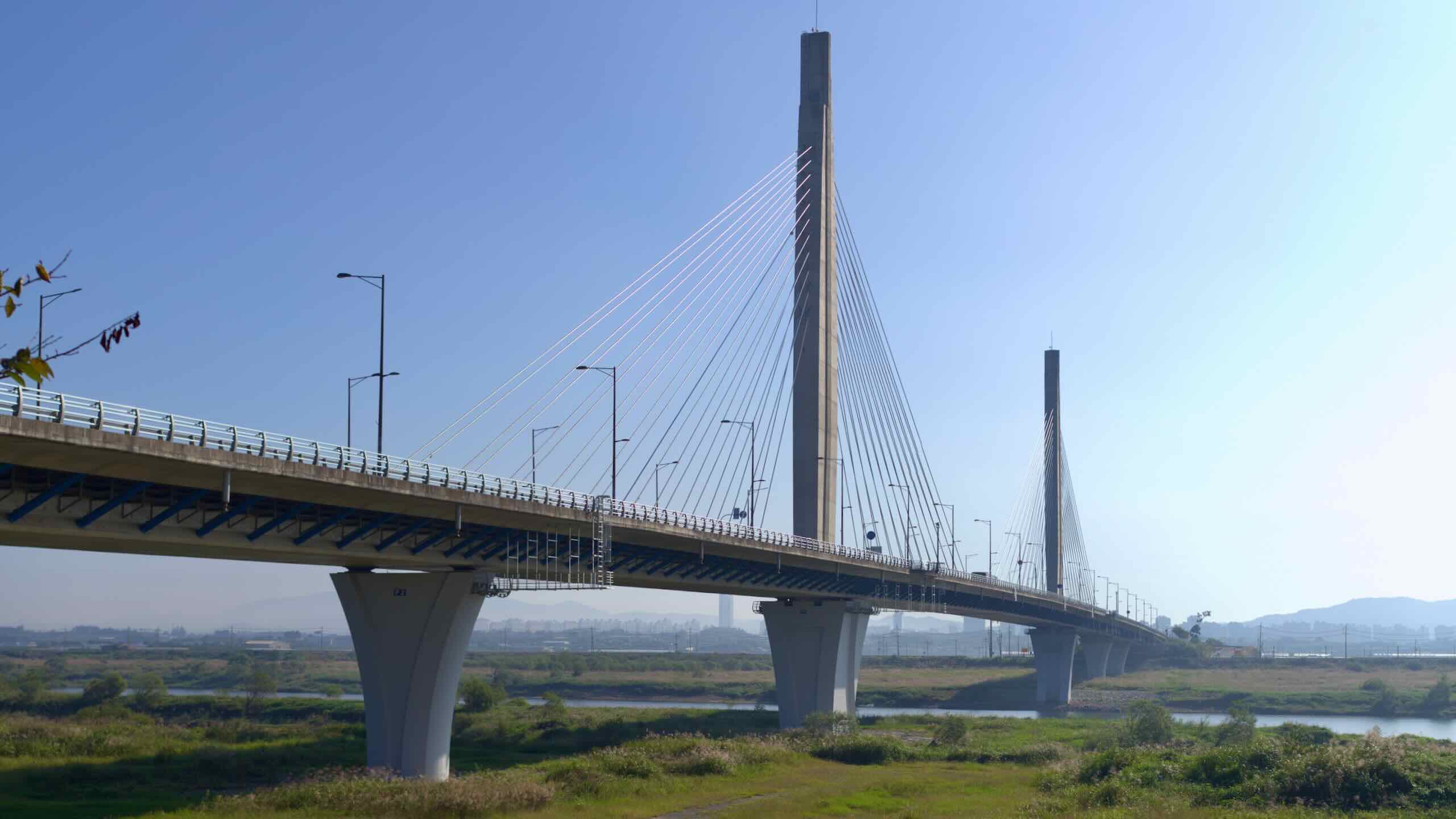
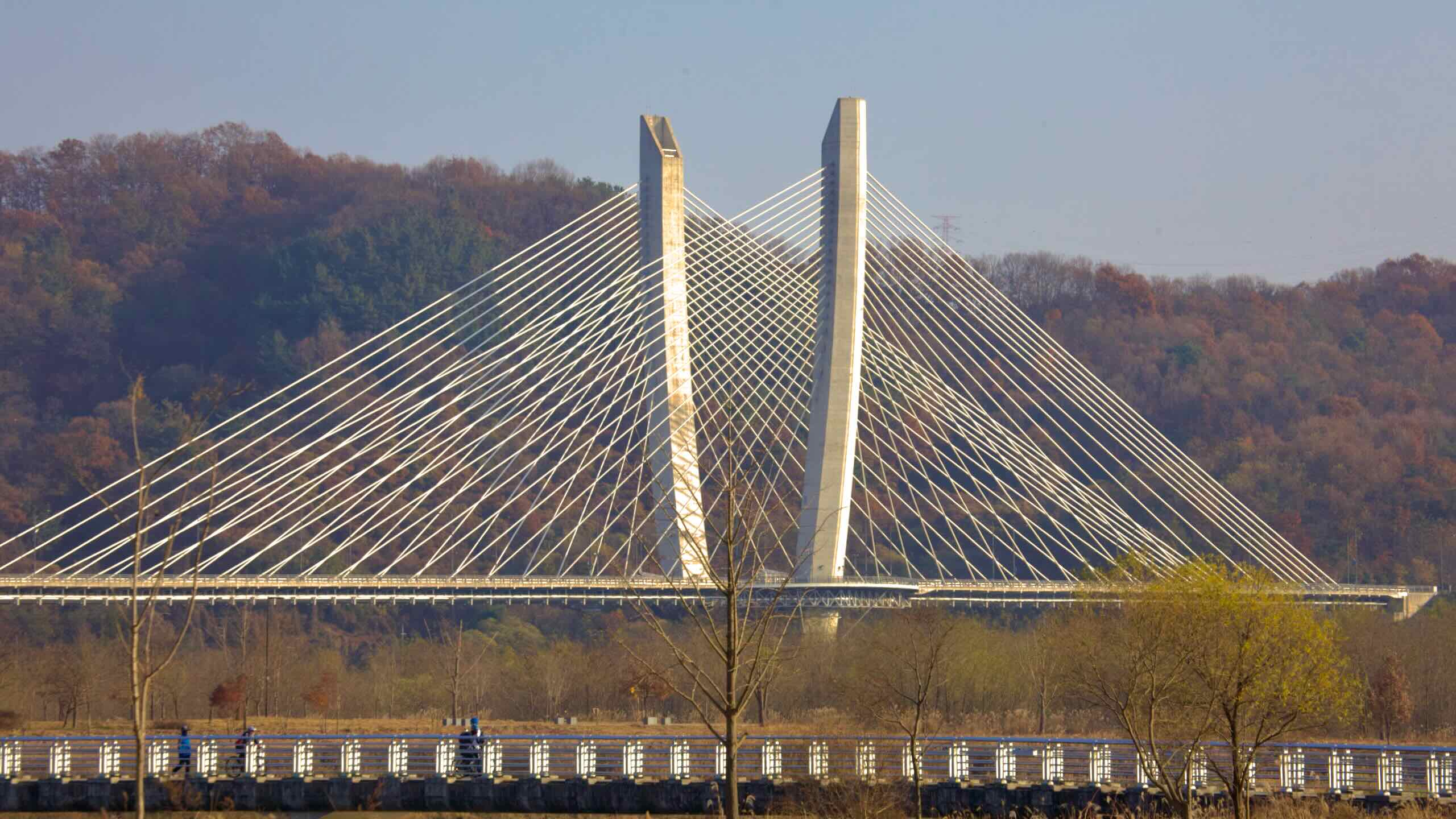
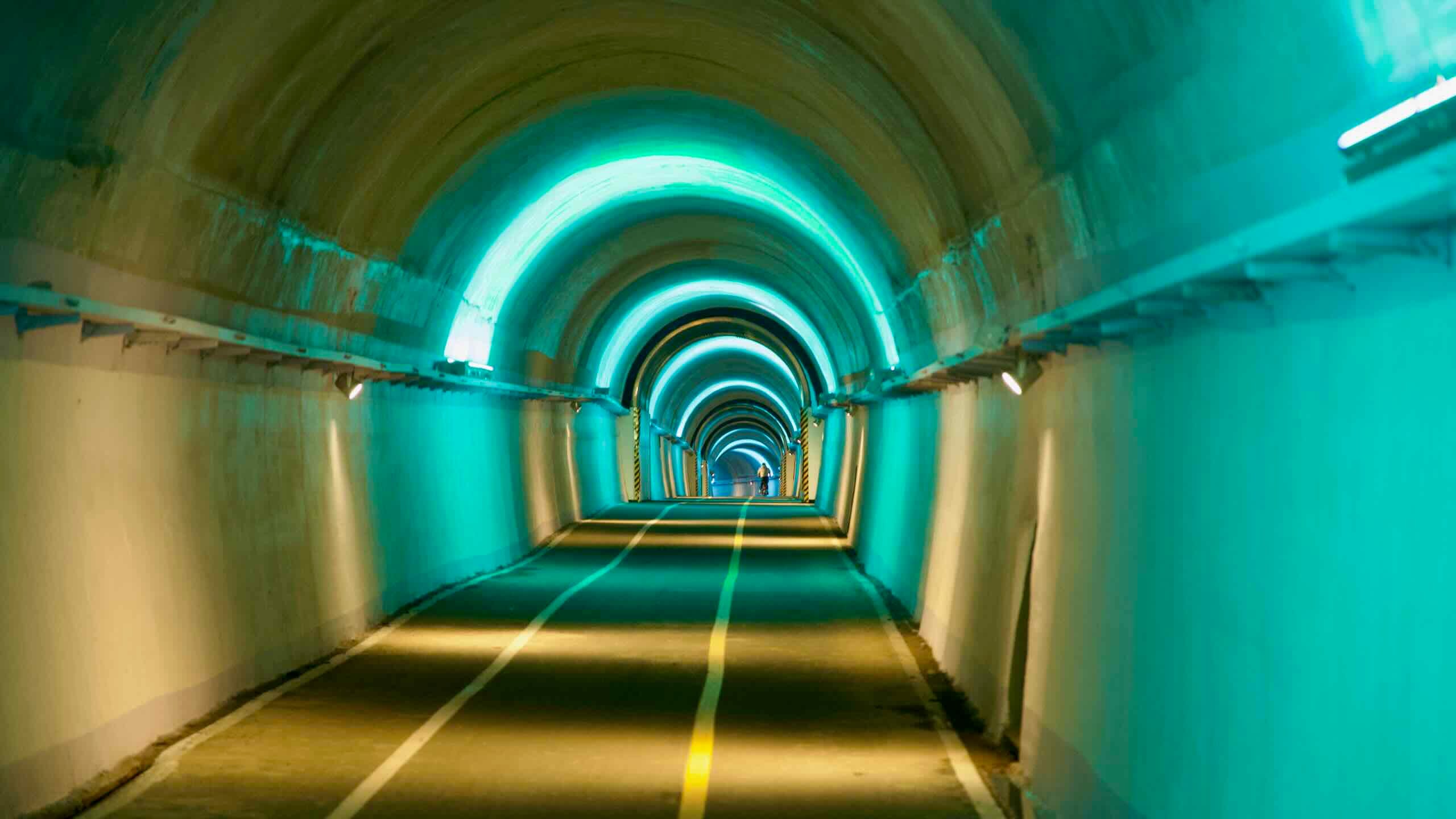
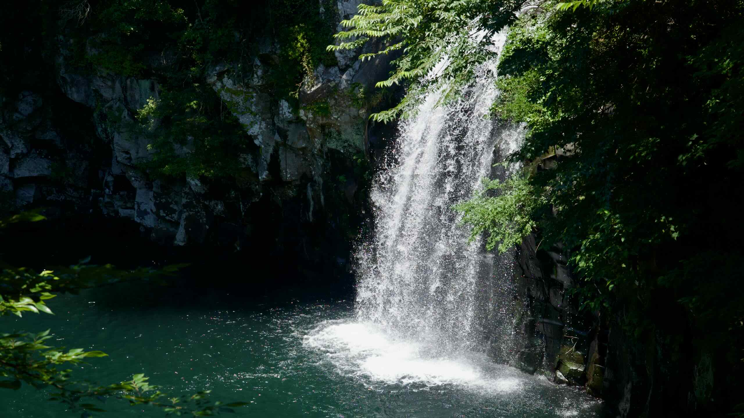
In the middle of Korea, the Saejae Bike Path takes over the Cross-Country Route. It ascends two mountain passes near the highest point of an ancient highway. Discover waterfalls, hot springs, and high-angle views along the way.
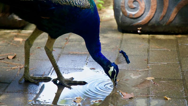
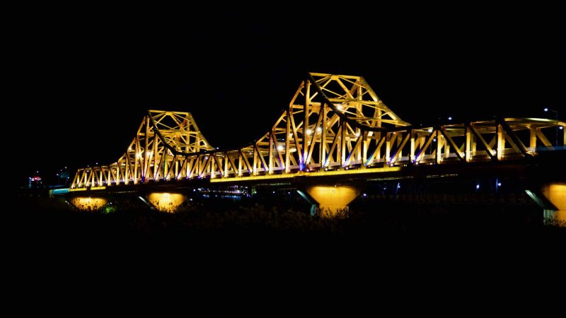
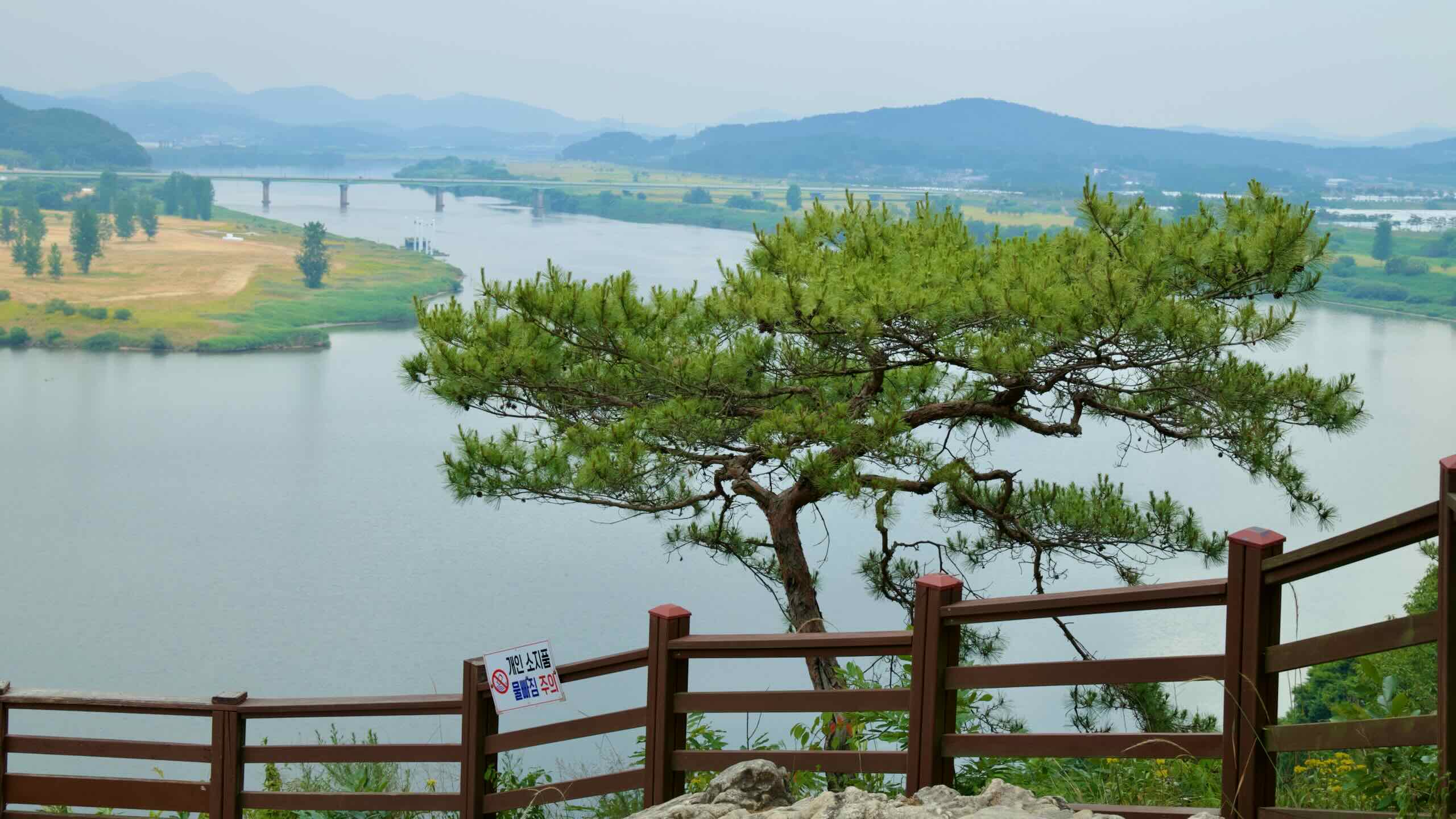
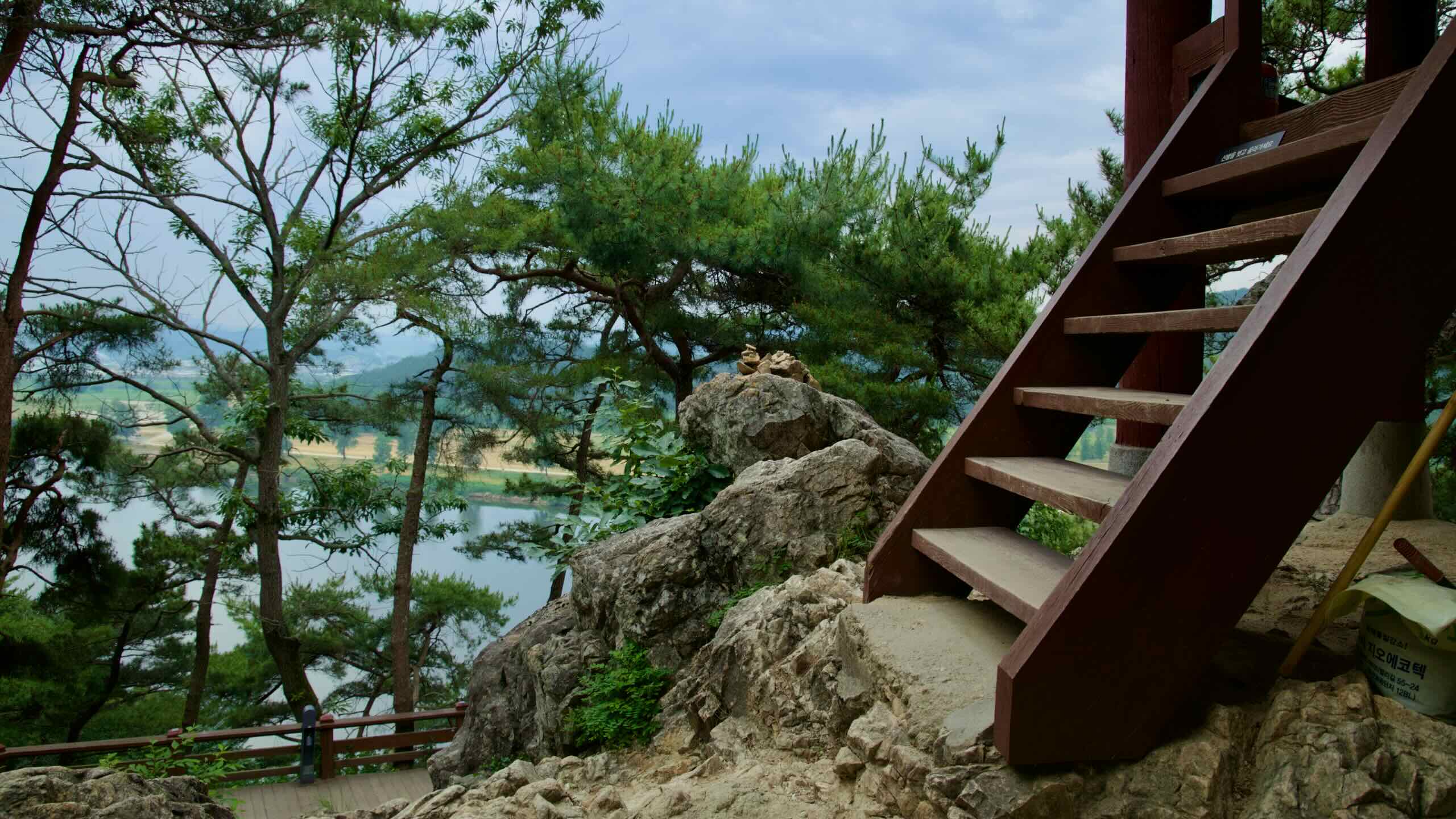
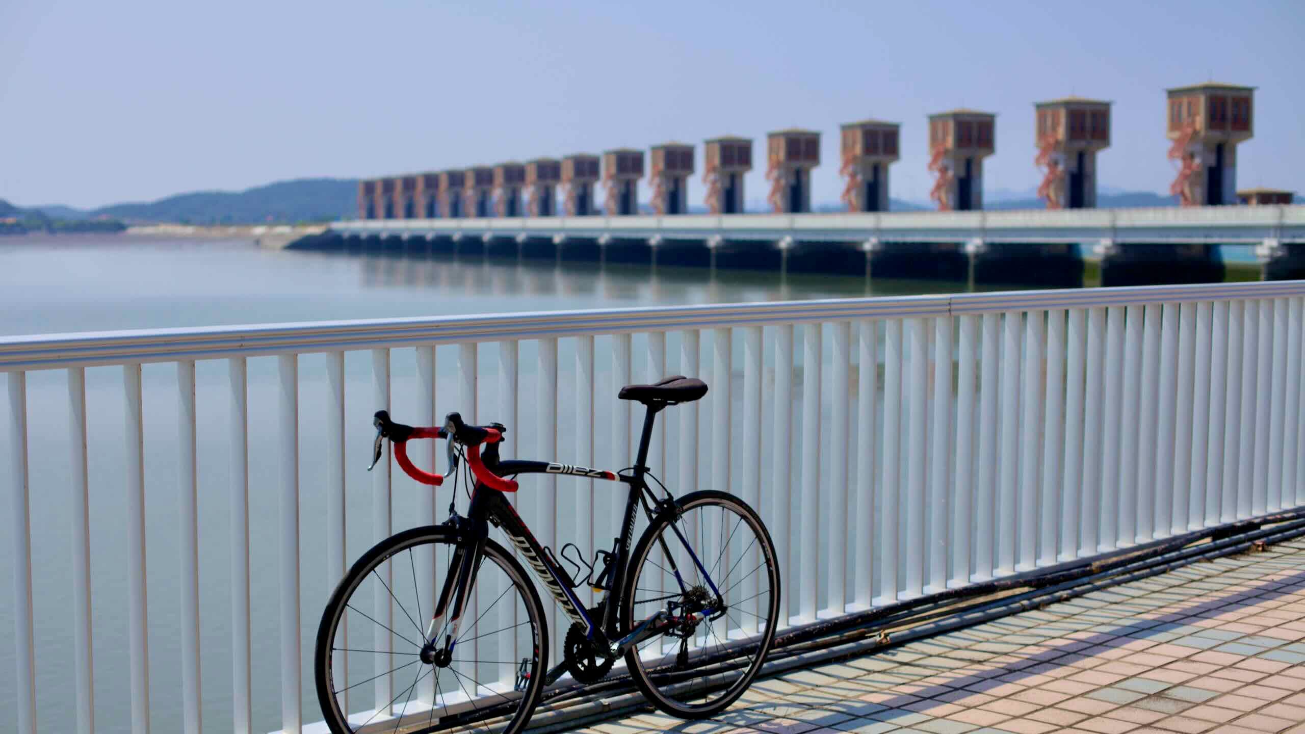
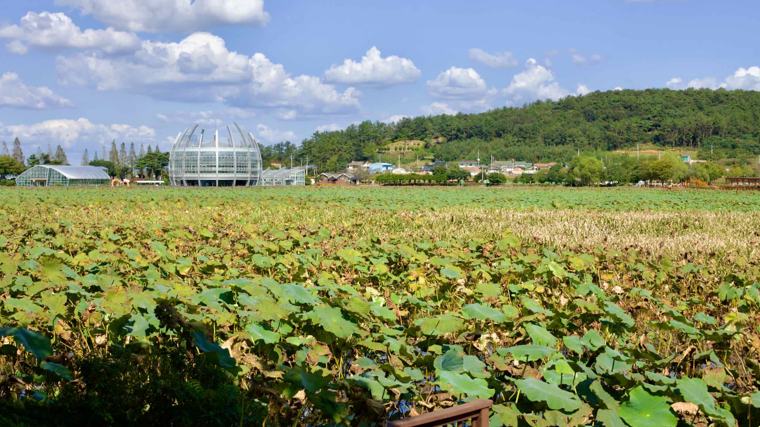
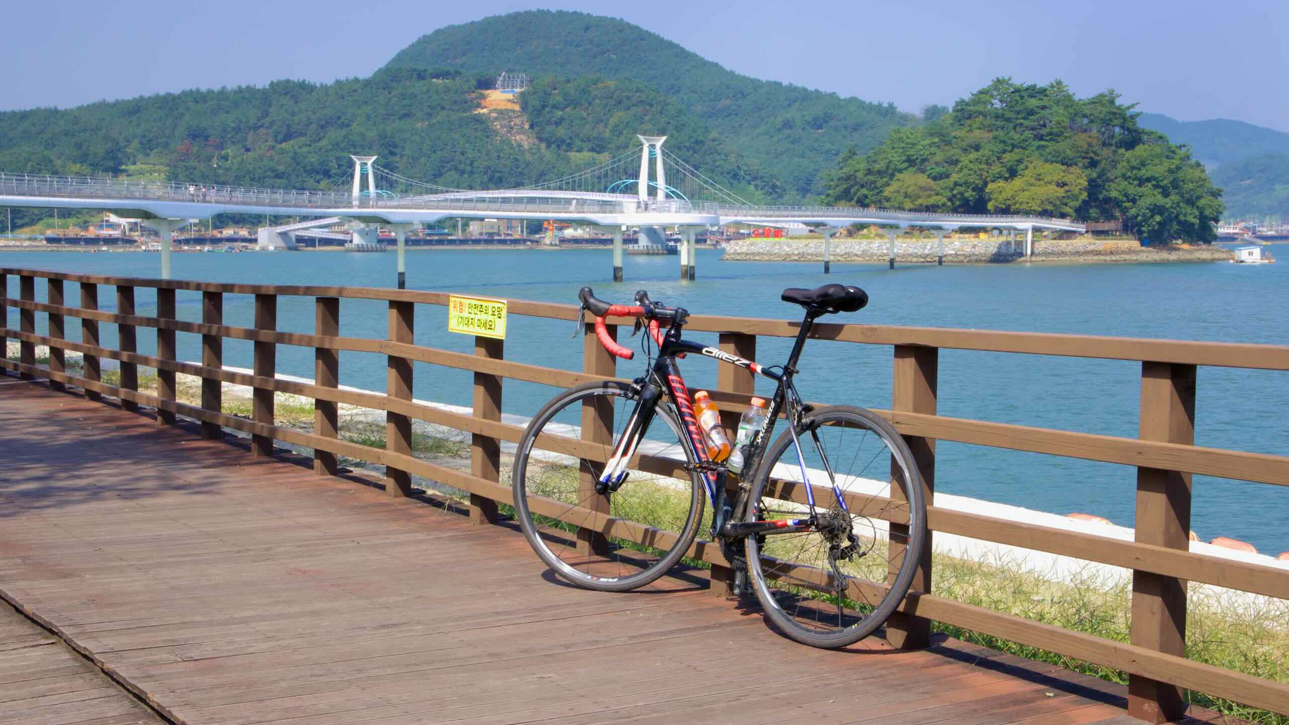
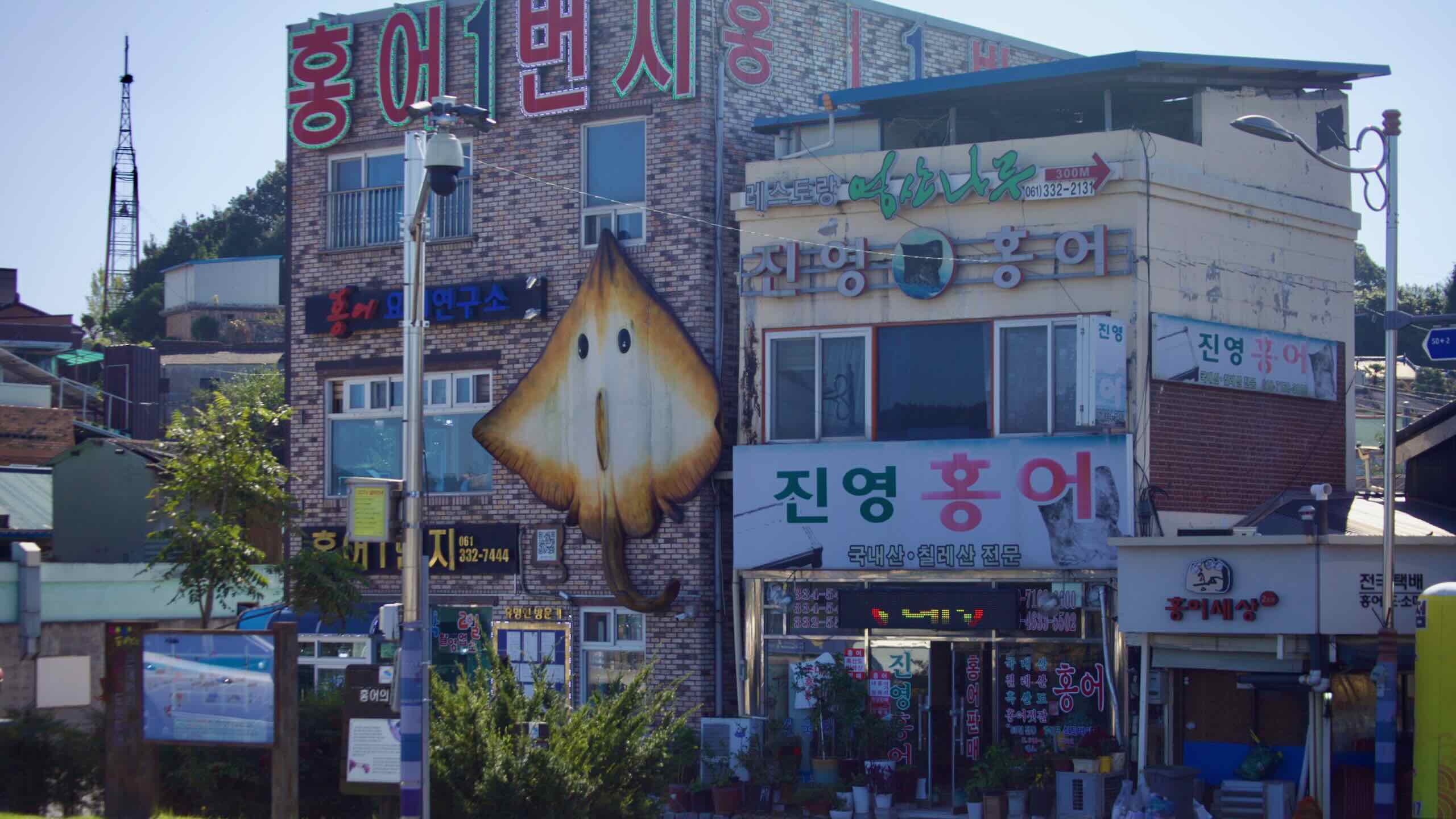
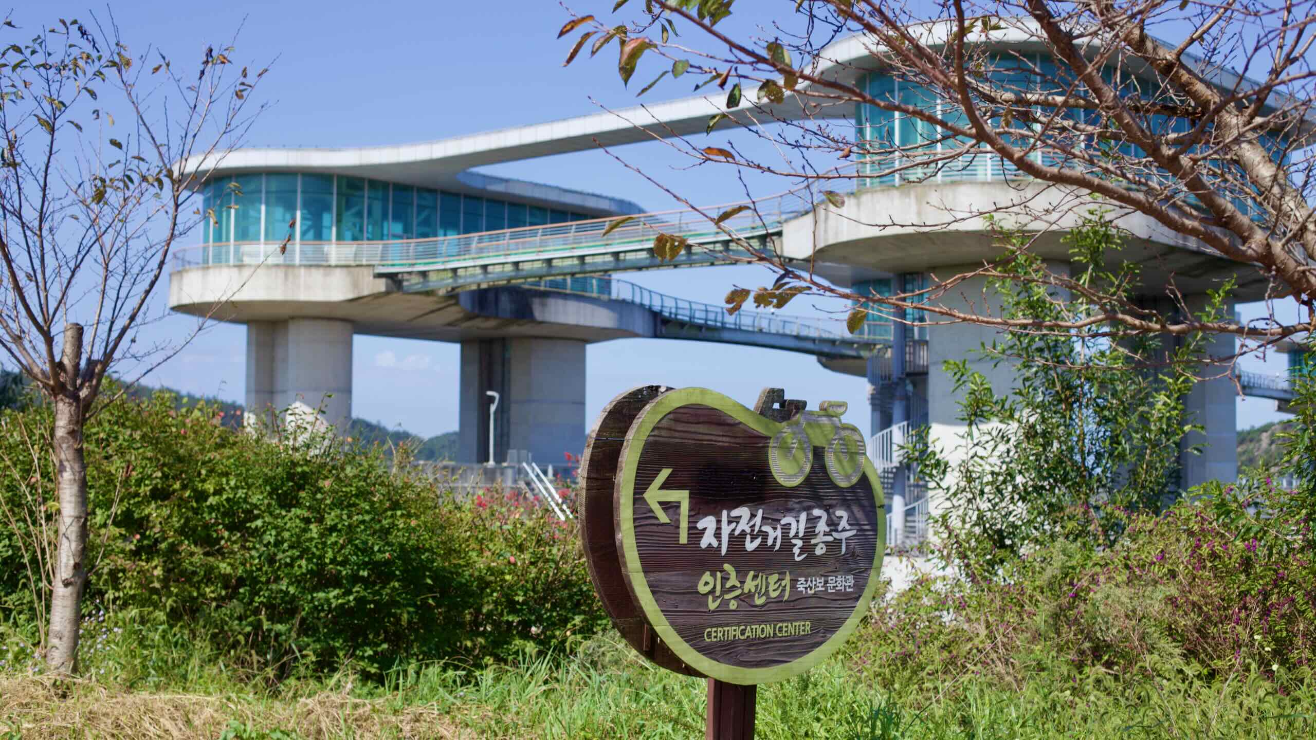
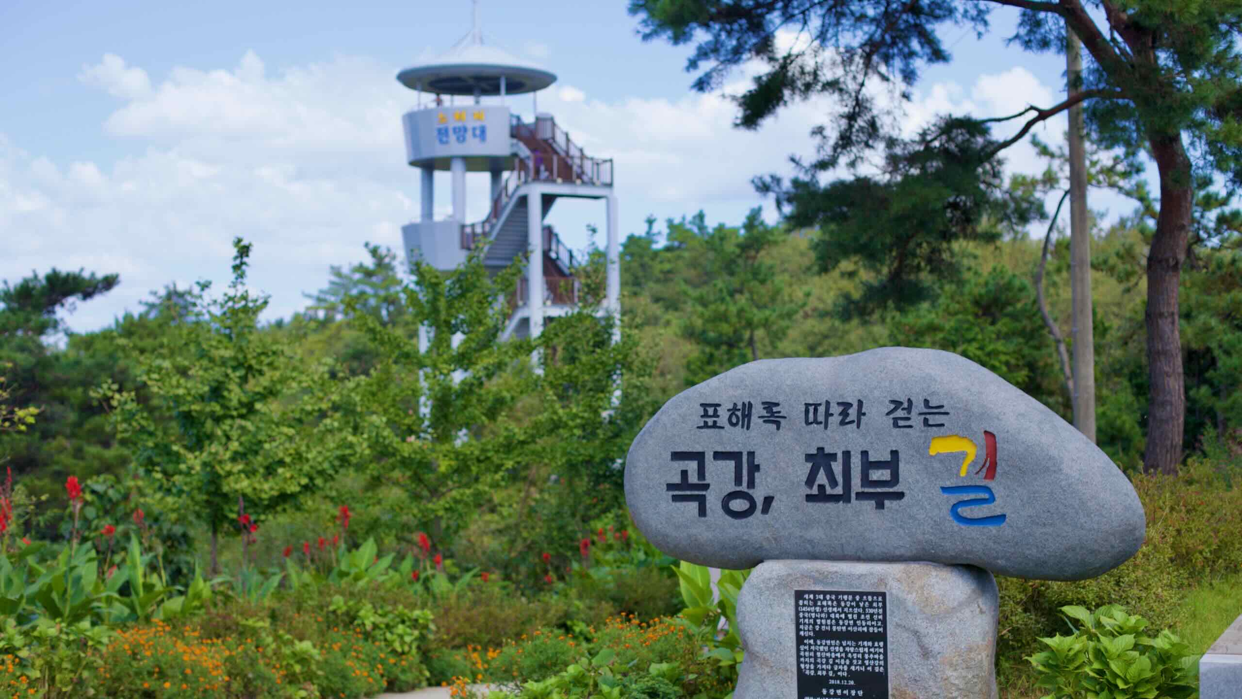
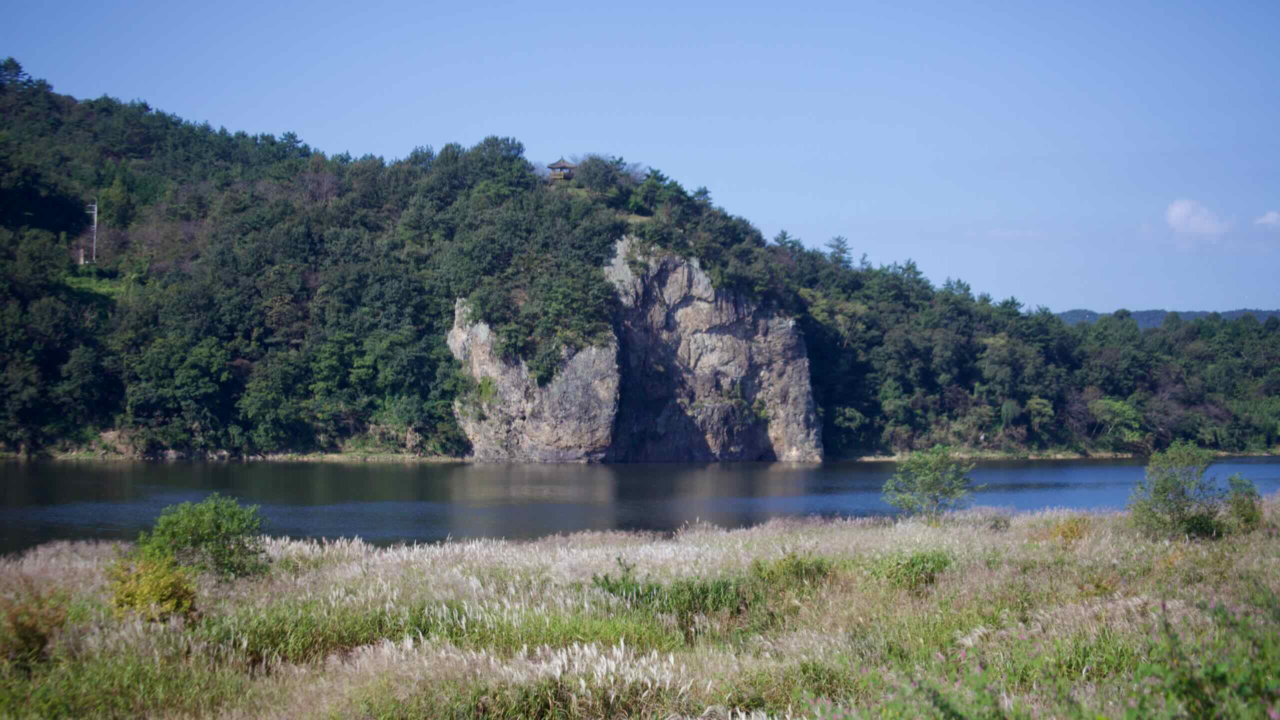
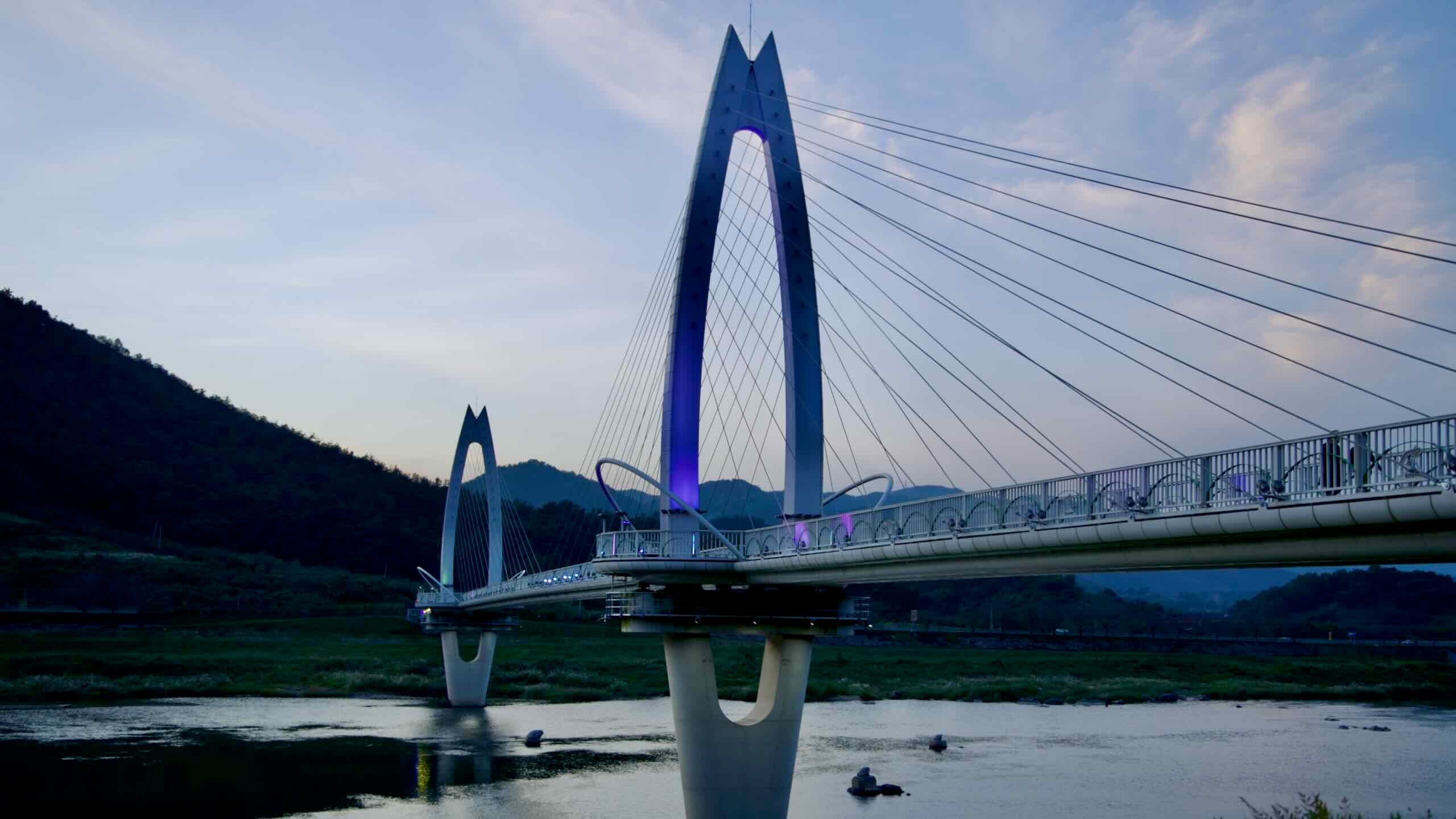
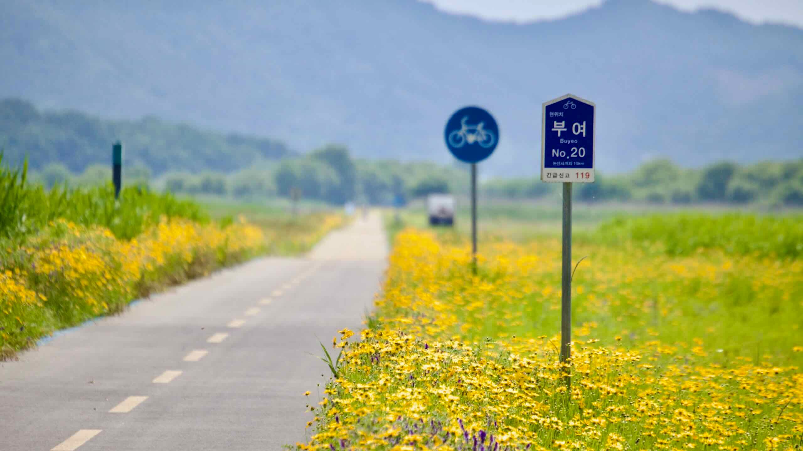
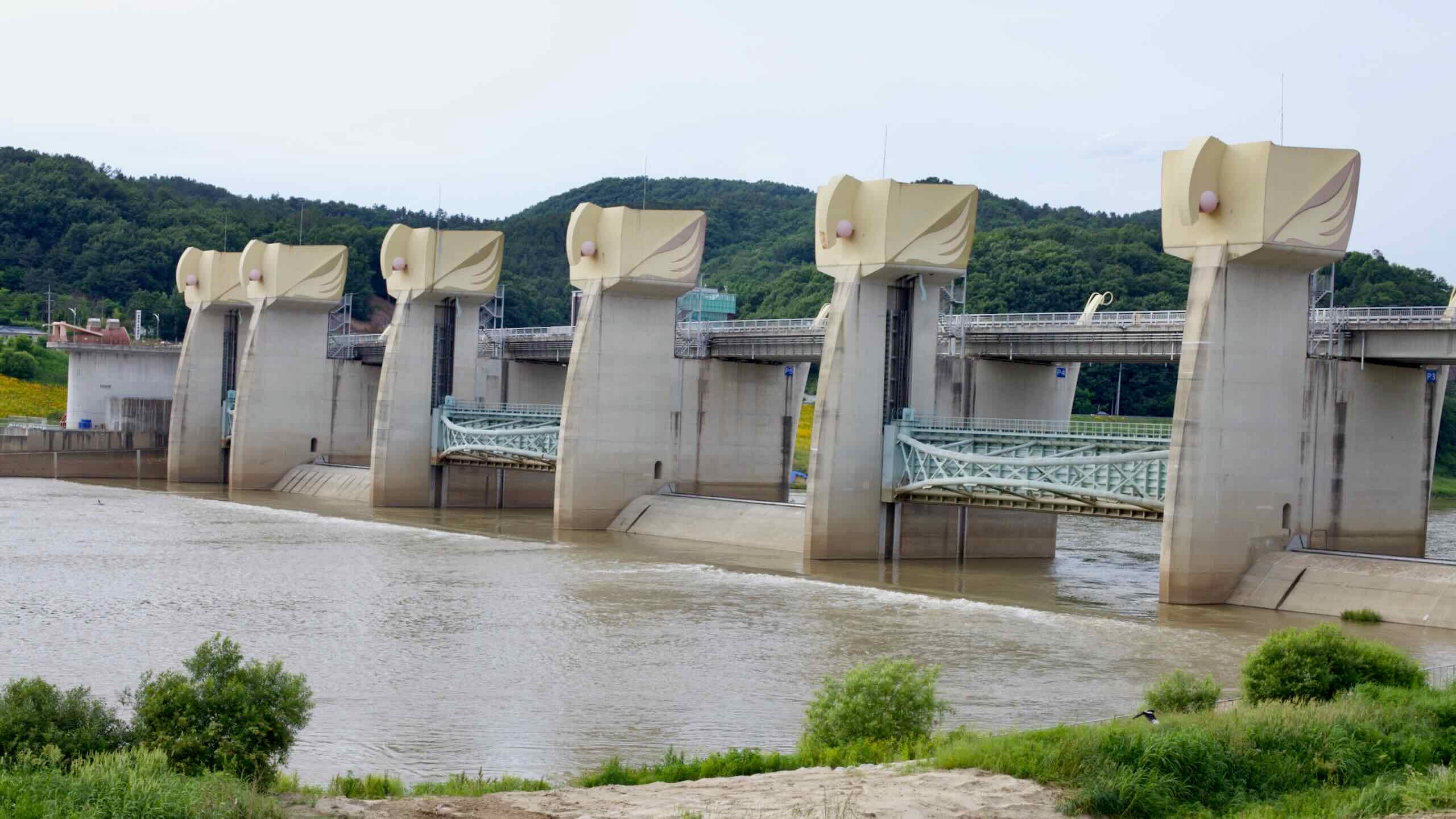
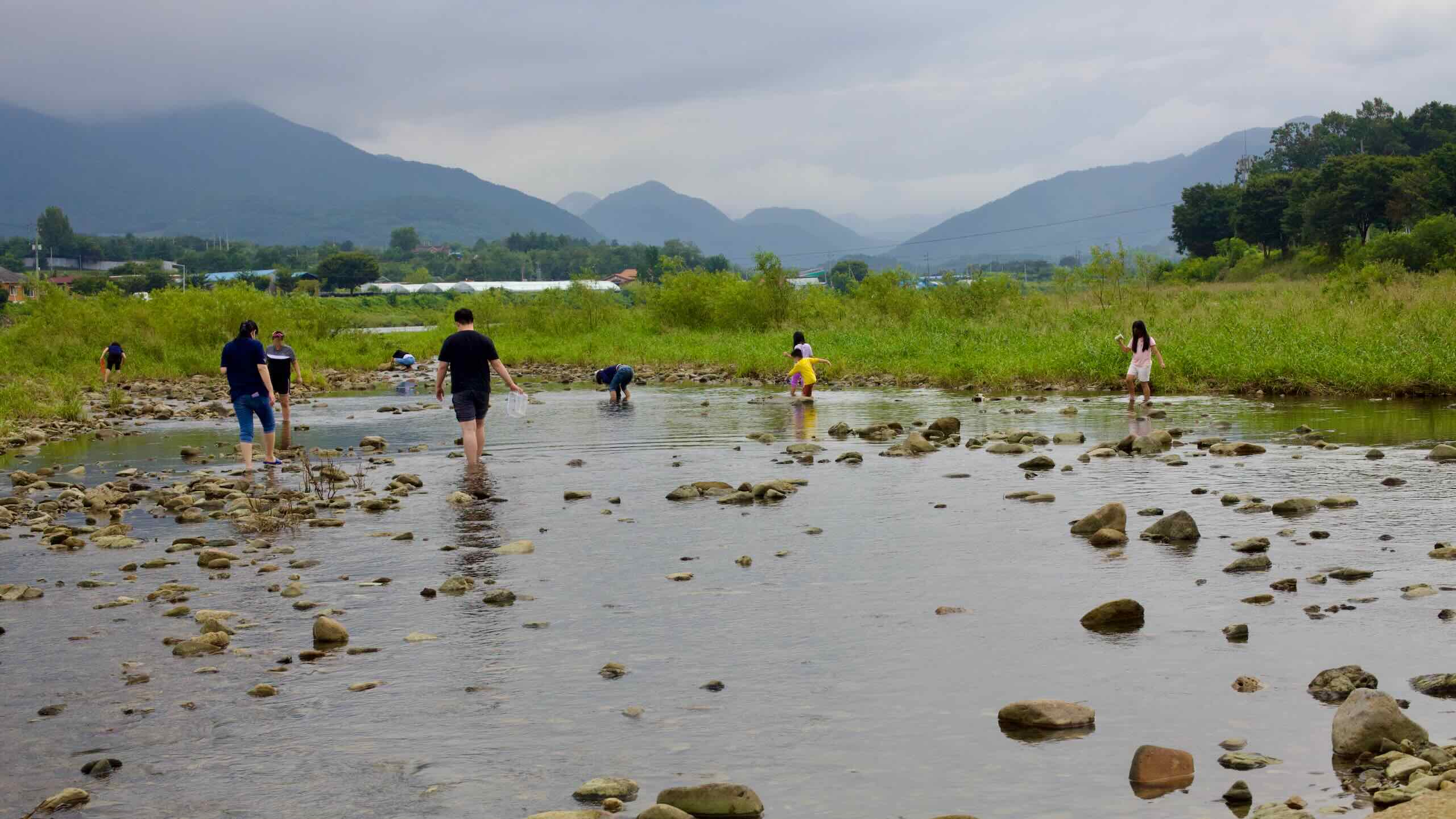
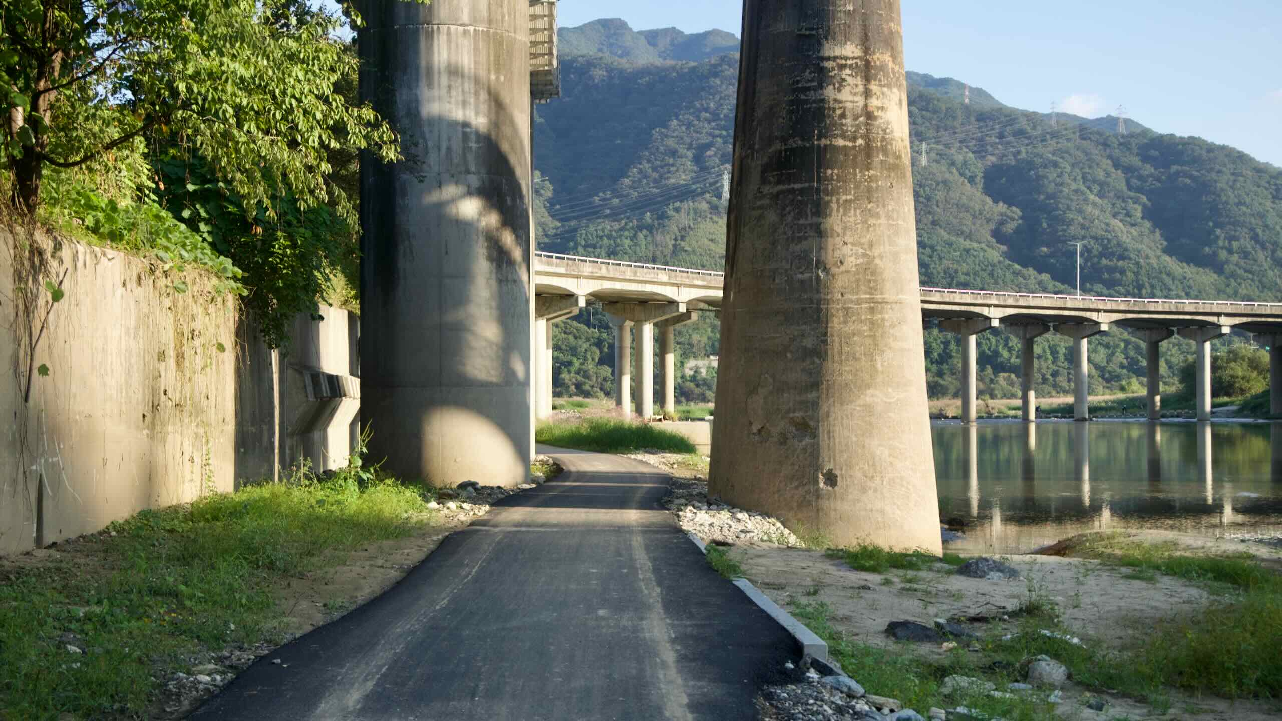
Dive onto the Nakdong River (Nakdonggang) Bike Path, the last leg of the Cross-Country tour. Wind south down the Nakdong River, the nation’s longest. Zig past eight weirs. Zag around Daegu City. And climb spiky hills overlooking ancient Confucian academies and hanok villages.
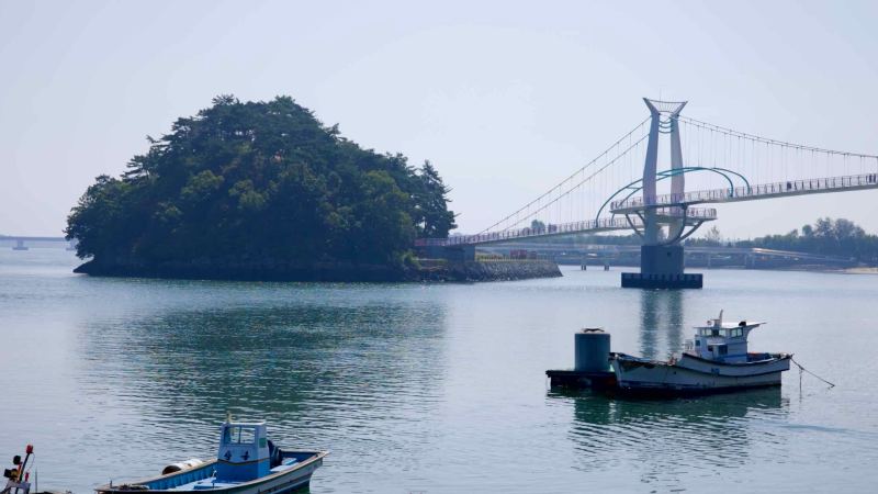
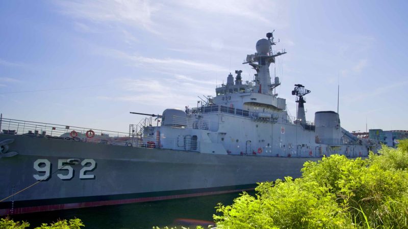
The Cross-Country Route ends near where the Nakdong River spills into the Korea Strait in Busan City on the southwest corner of the peninsula.
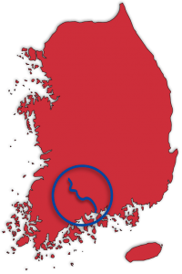
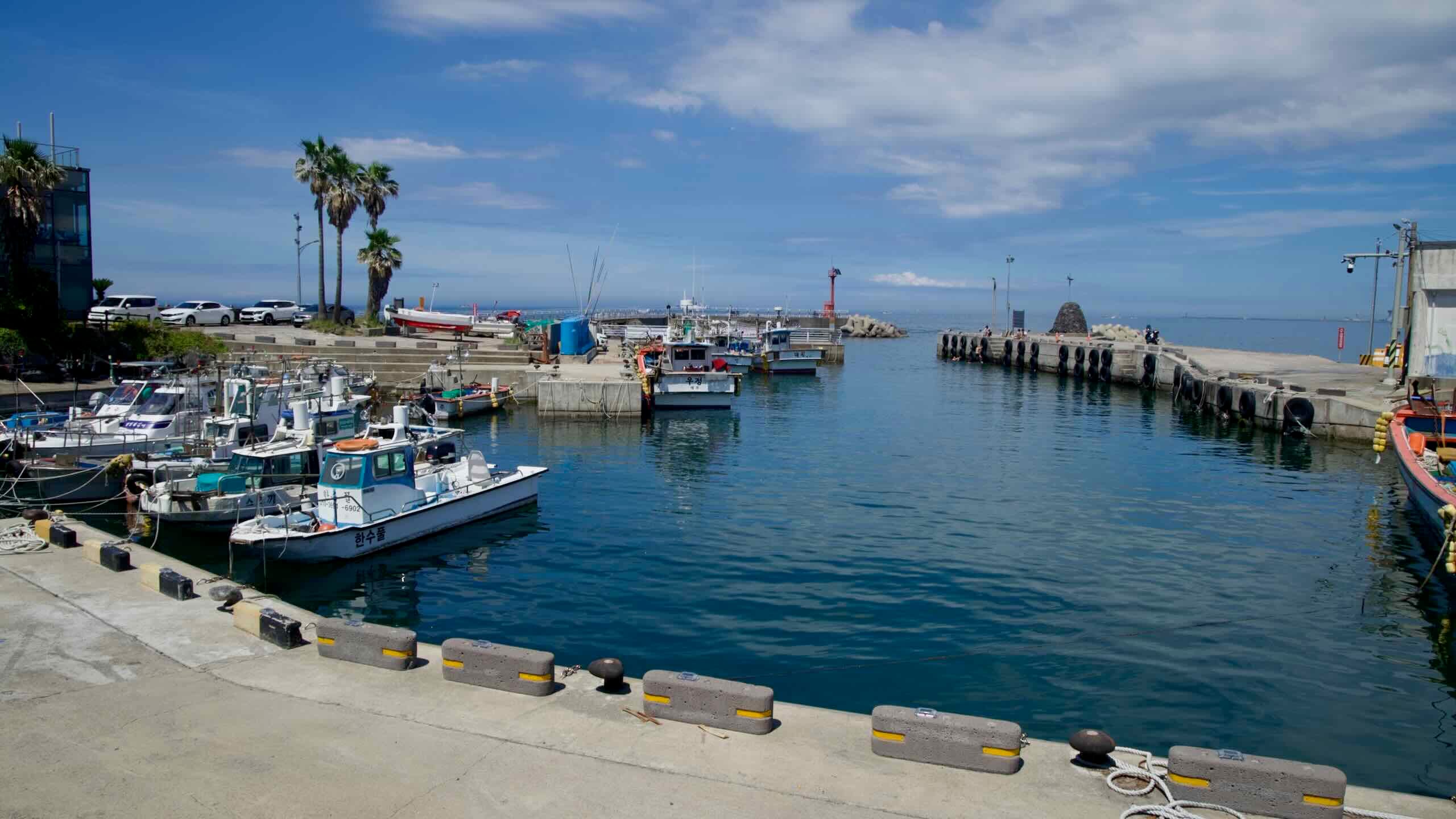
East Coast Route
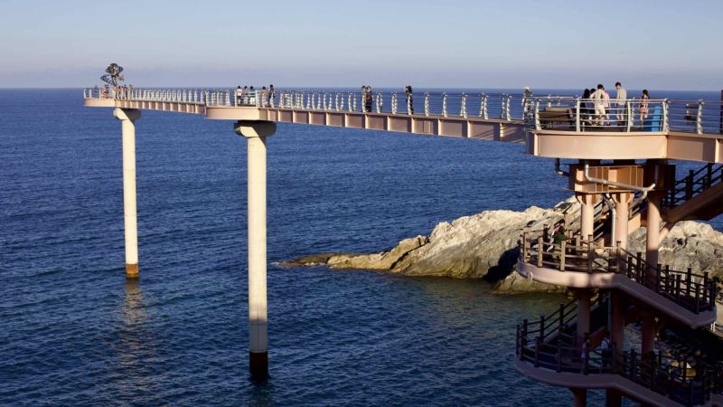
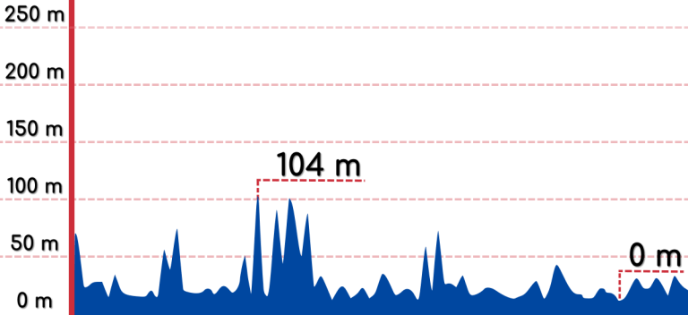
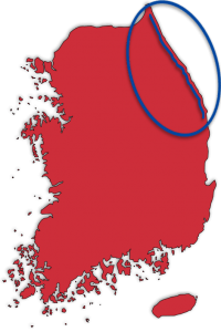
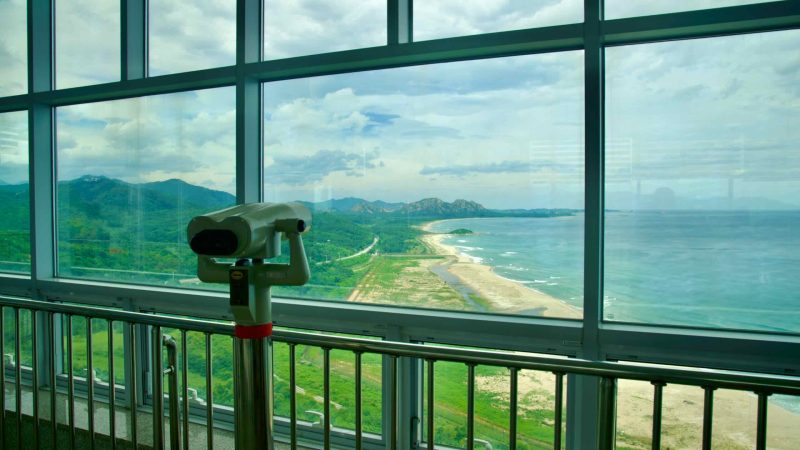
The East Coast Route traces the stunning coastline of Korea’s East Sea (동해; map), offering cyclists an unparalleled journey through the nation’s northeastern landscapes. Spanning 352 kilometers, the route connects the picturesque shores of North Gyeongsang Province with the Demilitarized Zone (DMZ), a poignant border with North Korea.

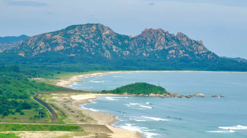

Divided into two distinct bike paths — the Gyeongbuk Bicycle Path and the Gangwon Bicycle Path — the East Coast Route showcases the diverse beauty of Korea’s eastern shoreline. From the snow crab ports and ancient pavilions of North Gyeongsang to the dramatic coastal cliffs, bustling resort towns, and barbed wire fences of Gangwon State, this route provides a rich tapestry of cultural and natural landmarks.
The Stats
Yeongdeok County
(영덕군)
23.5 hours
Goseong County
(고성군)

- Time 23.5 hours (4 to 6 days)
- Length 352.8 km (219 miles)
- Elevation 104 m | 0 m (341 ft | 0 ft)
- Difficulty 🚲🚲🚲🚲🚲
- Certifications Gyeongbuk, Gangwon, Grand Slam
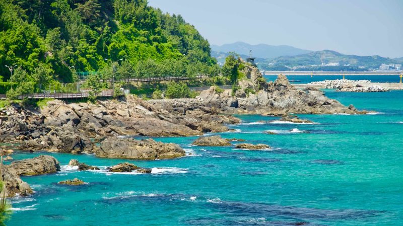
Traverse the southern half with its steep climbs, seafood ports, and iconic sunrise parks.

Traverse the southern half with its steep climbs, seafood ports, and iconic sunrise parks.
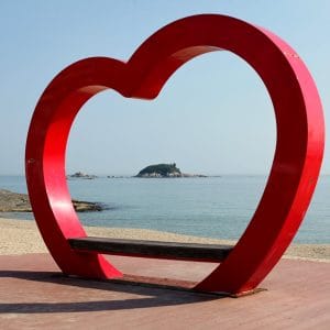
Traverse the southern half with its steep climbs, seafood ports, and iconic sunrise parks.
Traverse the southern half with its steep climbs, seafood ports, and iconic sunrise parks.
Overview
The East Coast Route is divided into two connected bike paths, separated by a cyclist-friendly 4.8-kilometer gap, making it a continuous yet distinct journey along Korea’s eastern shore.
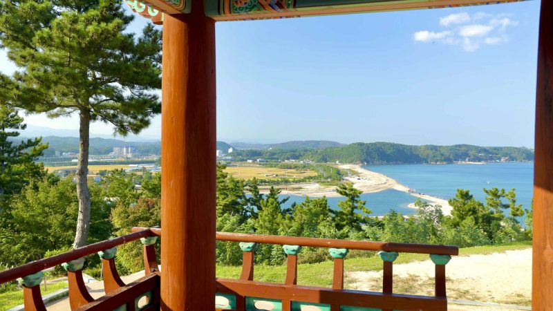
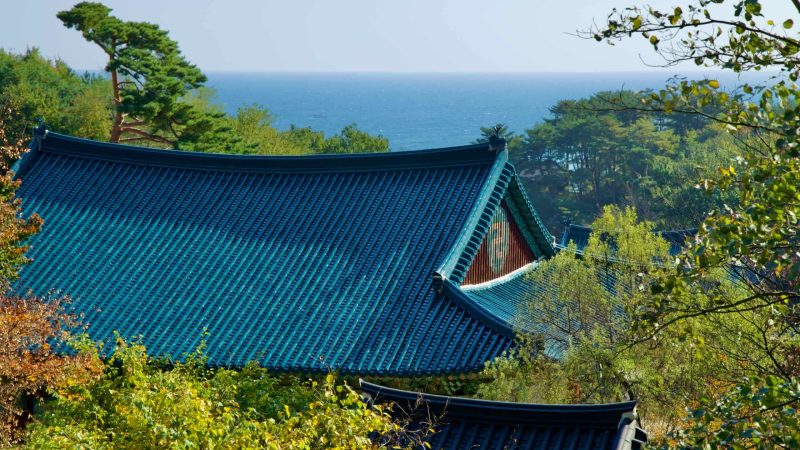
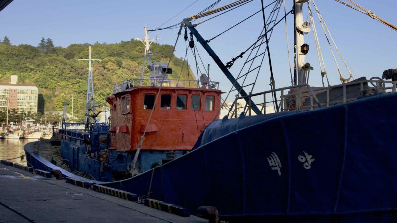
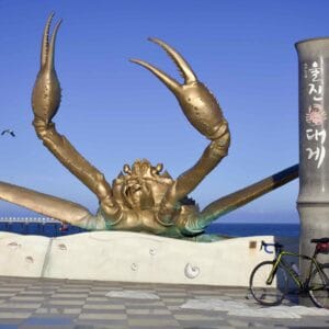
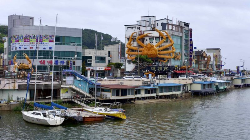
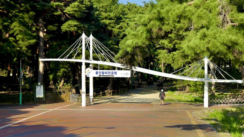
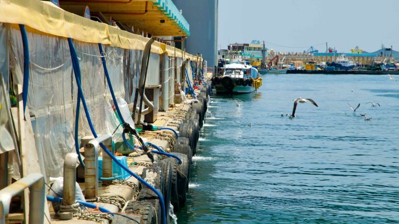
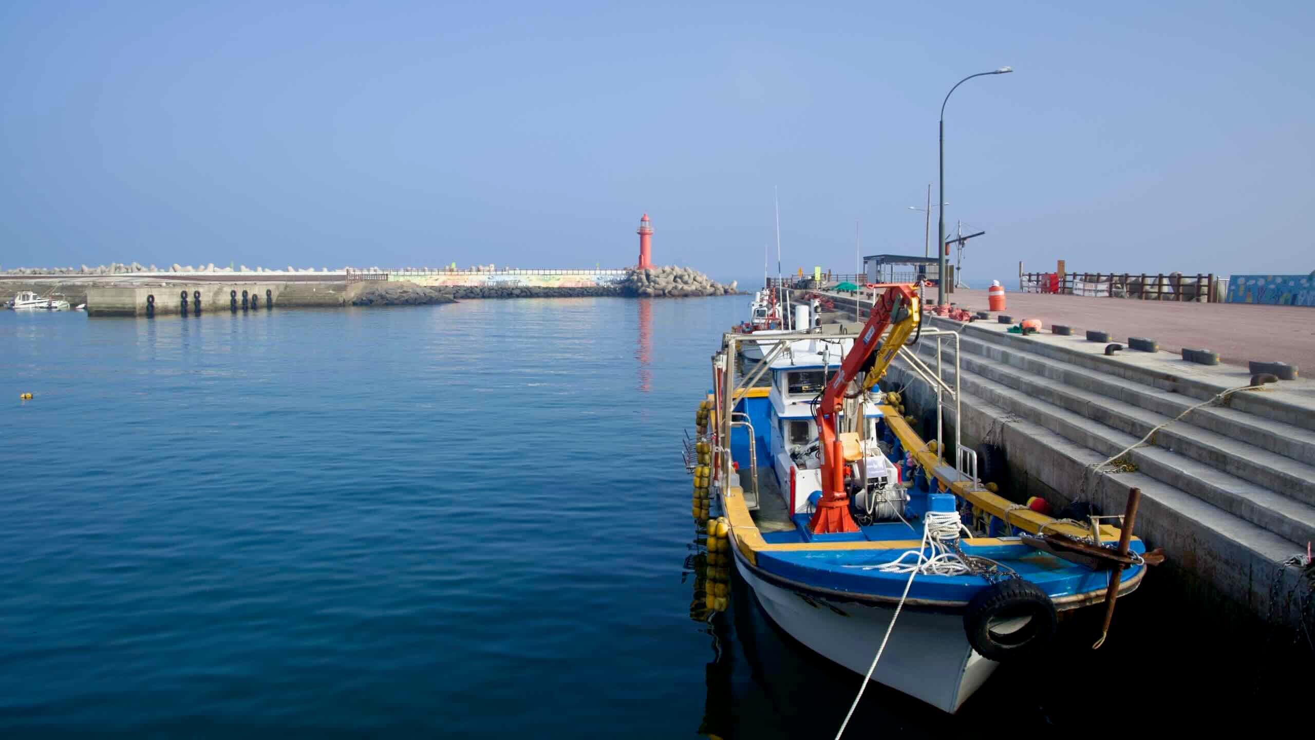
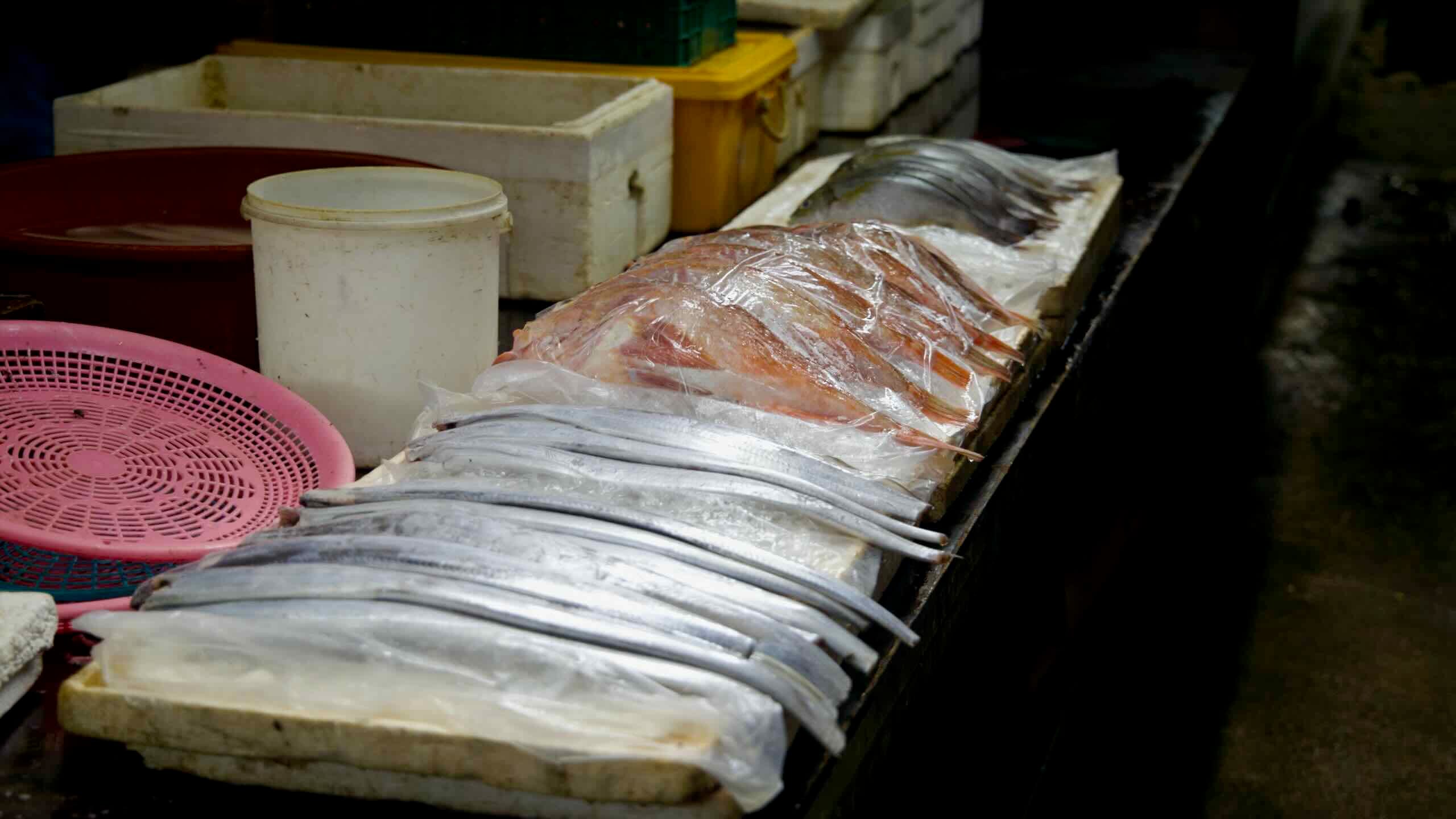
- Gyeongbuk Bicycle Path: Covering the southern section, this 122-kilometer route winds through Yeongdeok and Uljin Counties in North Gyeongsang Province. It features a mix of steep hills, ancient pavilions, vibrant ports, and the famed snow crab markets that draw food lovers from across Korea.
- Gangwon Bicycle Path: Spanning 242 kilometers, the northern section follows the Gangwon State coastline, leading riders through resort cities, tranquil beaches, and rugged cliffs. The path culminates at the DMZ, where scenic beauty meets Korea’s complex history.

Gyeongbuk Bicycle Path
The Gyeongbuk Bicycle Path forms the southern section of Korea’s East Coast Route, weaving through the neighboring counties of Yeongdeok and Uljin along the lower third of the coastline.
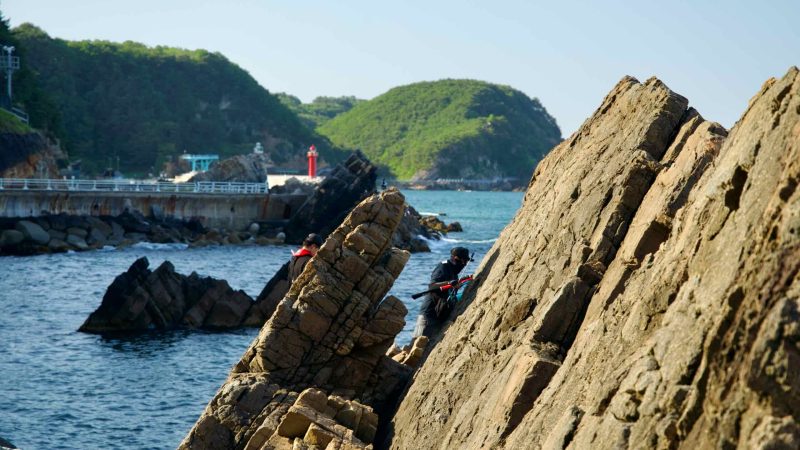
Stretching 122 kilometers, this path is shorter than the northern Gangwon Bike Path but more challenging, with steep, spiky hills punctuating the route between quiet fishing ports and seaside villages.
Gangwon Bicycle Path
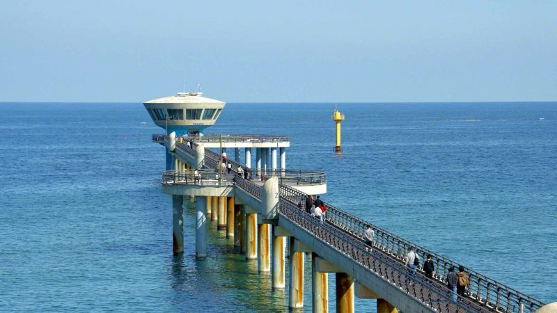
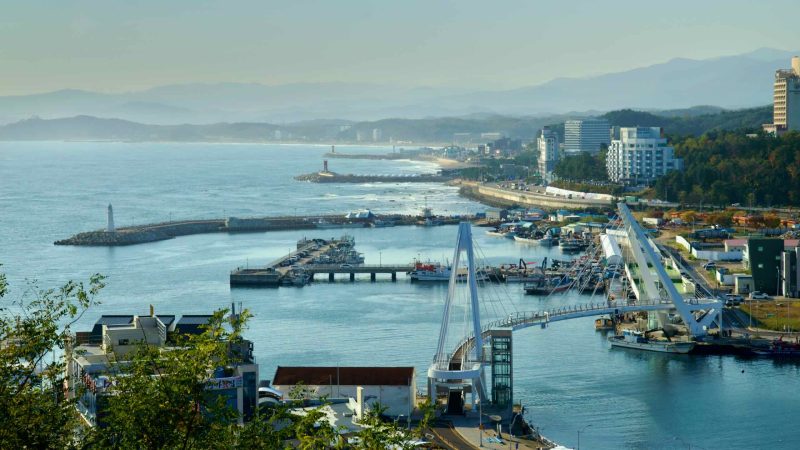
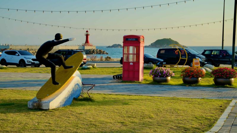
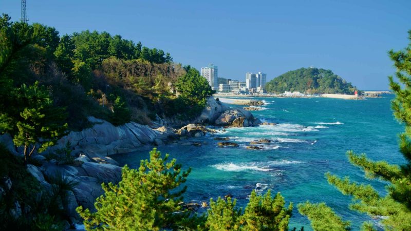
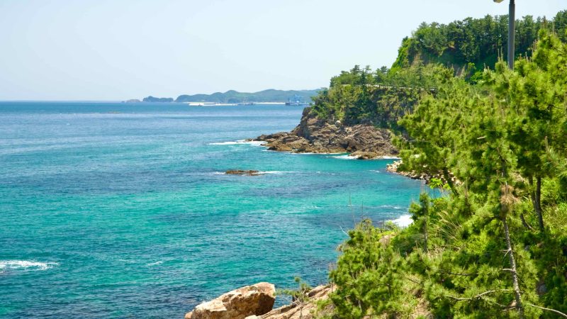
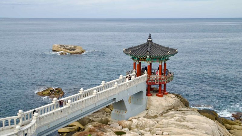
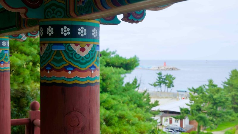
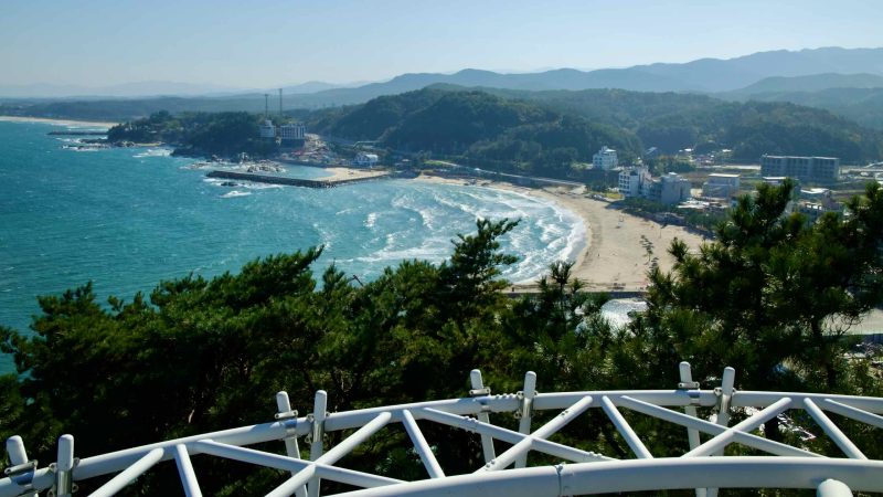
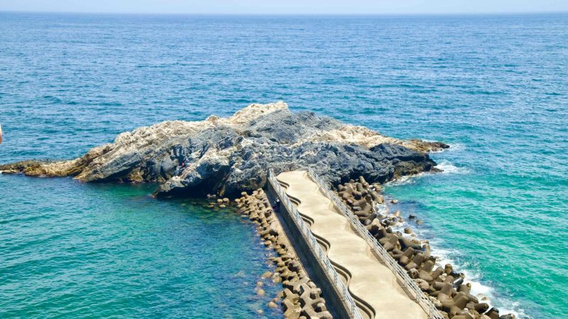
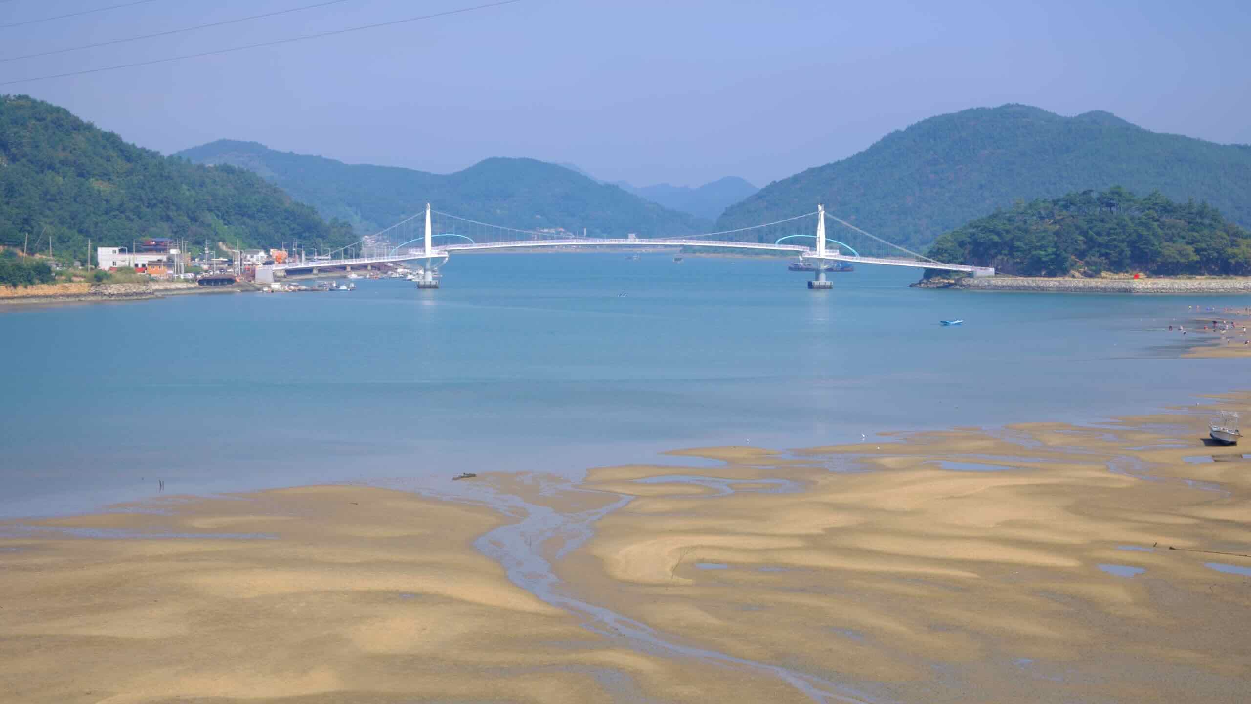
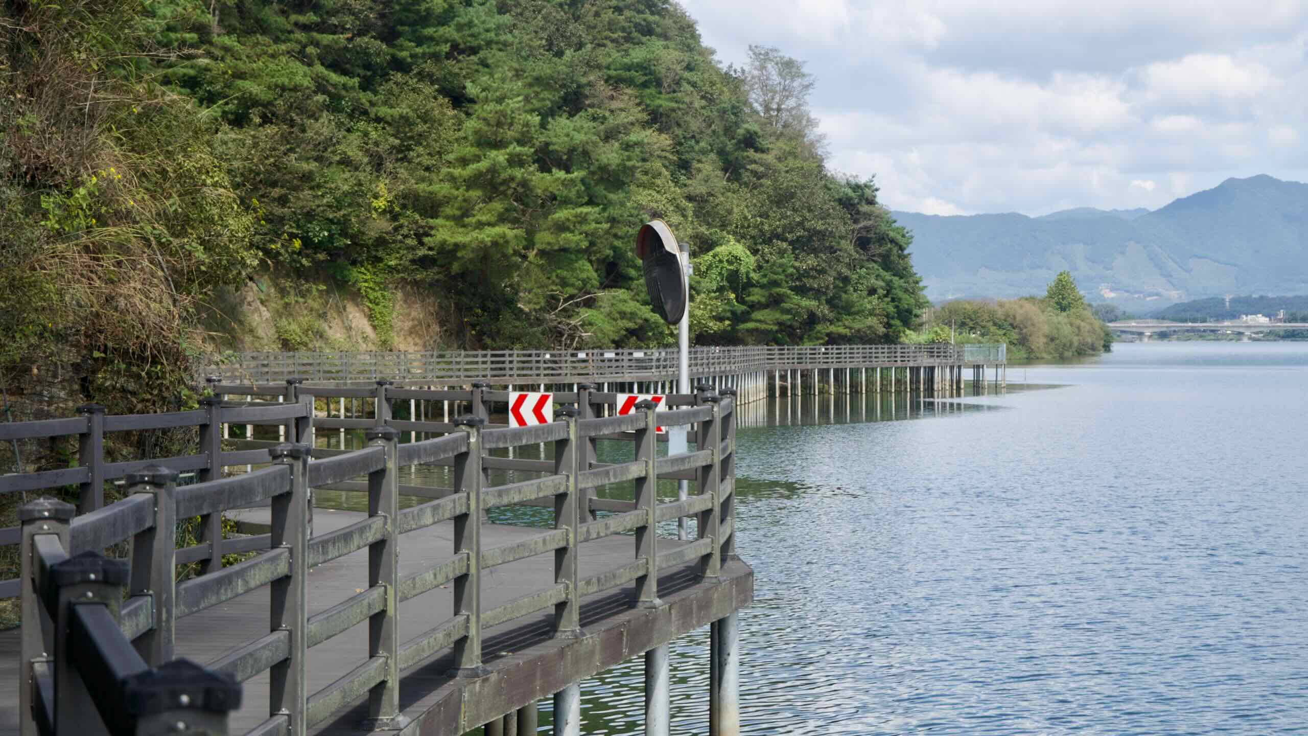
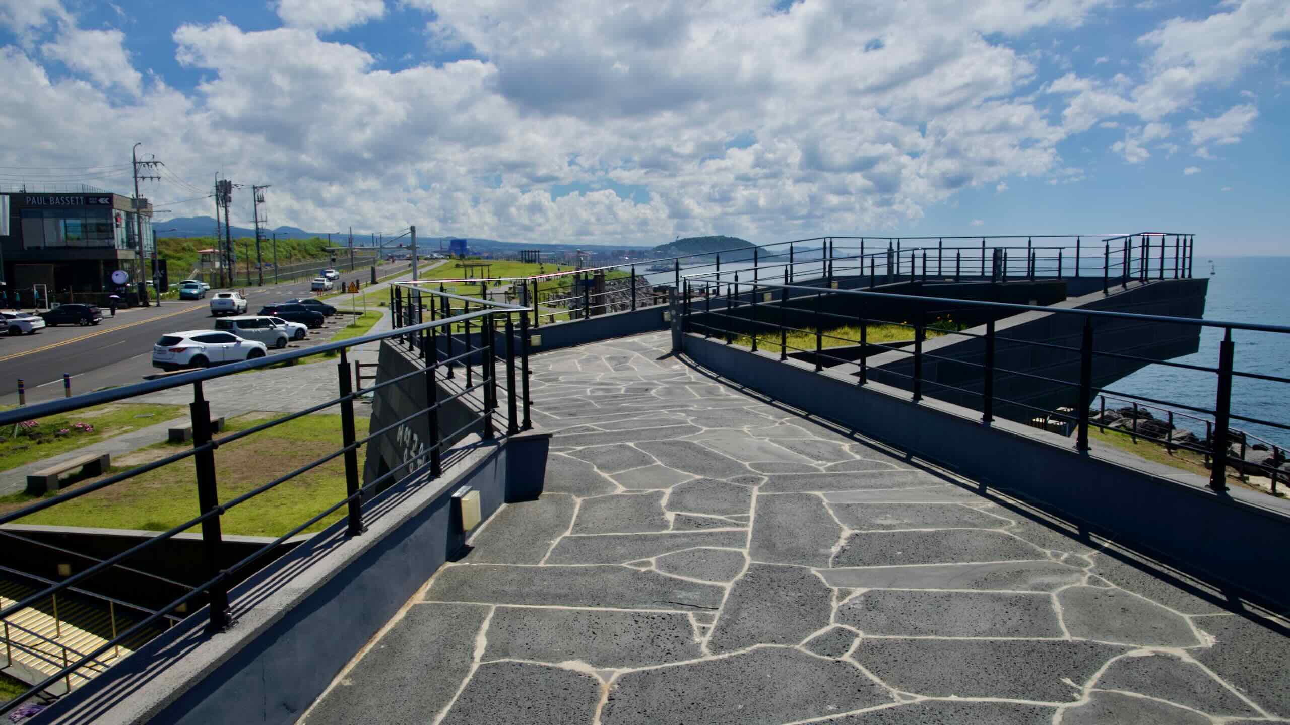
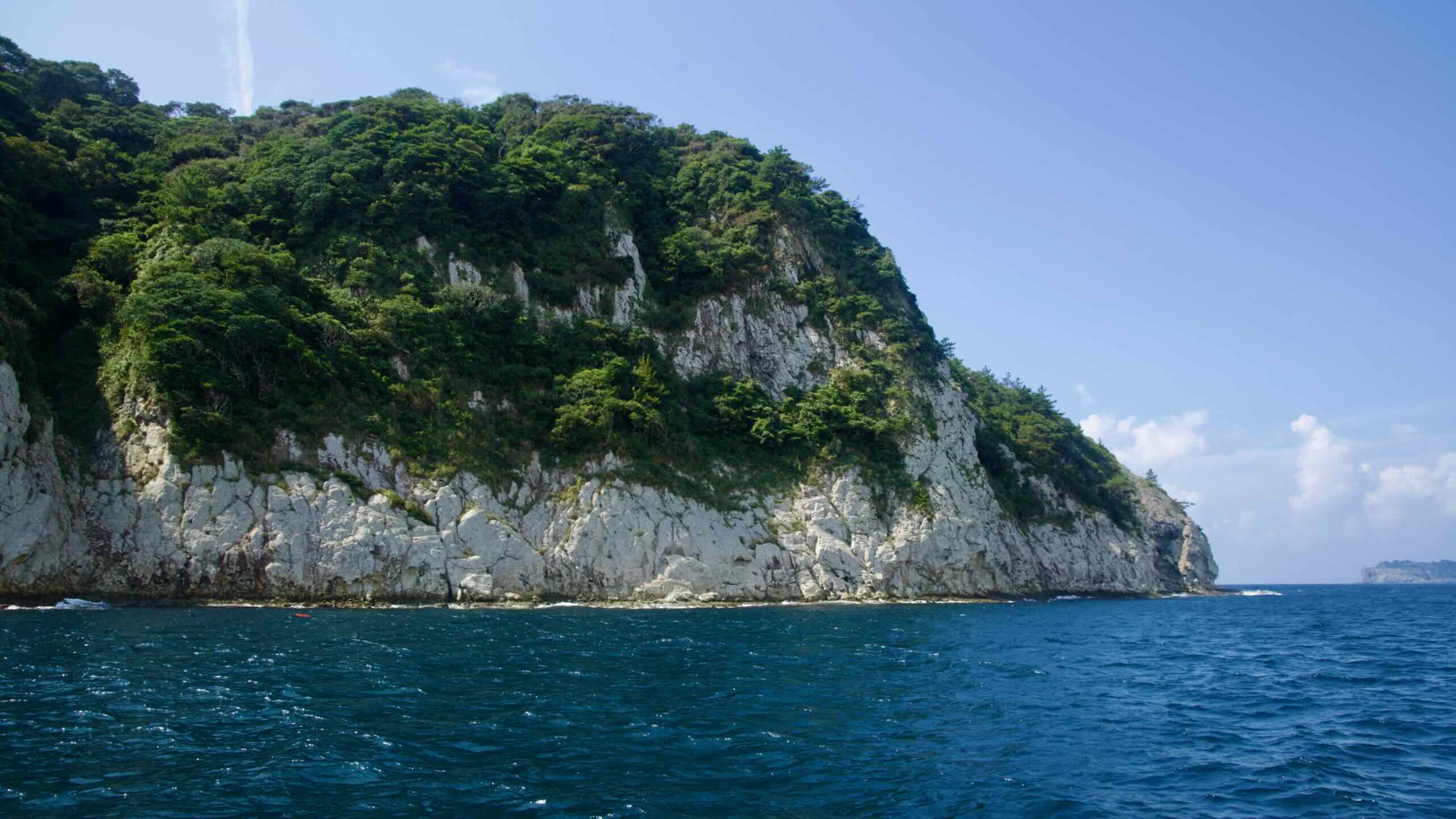
The Gangwon Bicycle Path forms the northern section of the East Coast Route, following the East Sea from the southern edge of Gangwon State (강원도; map) to the DMZ. Stretching 242 kilometers, it is Korea’s second-longest certification bike path.
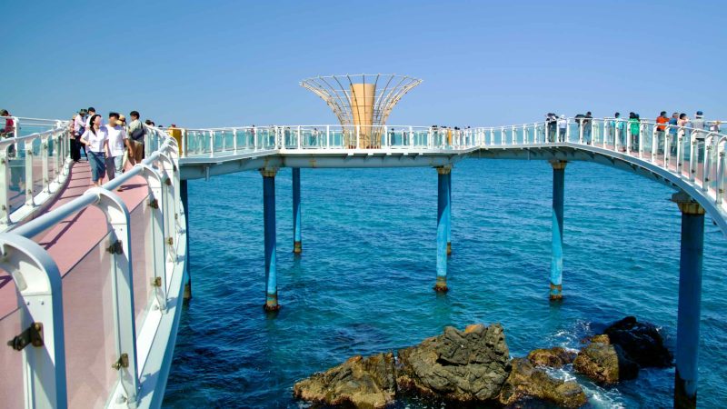
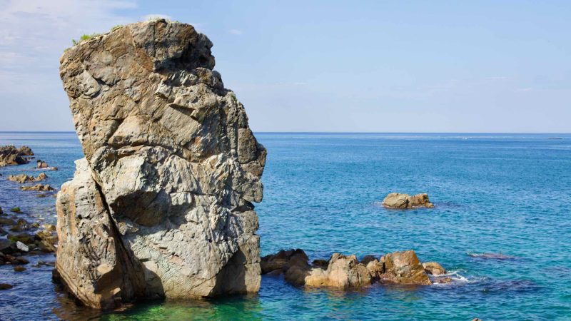
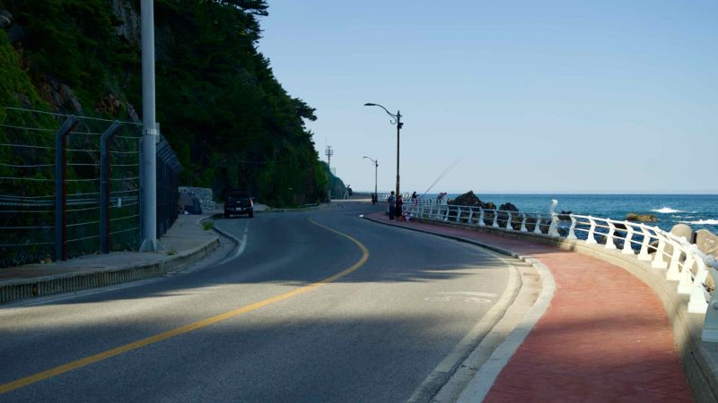
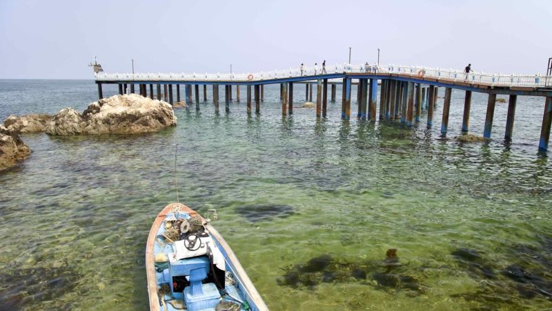
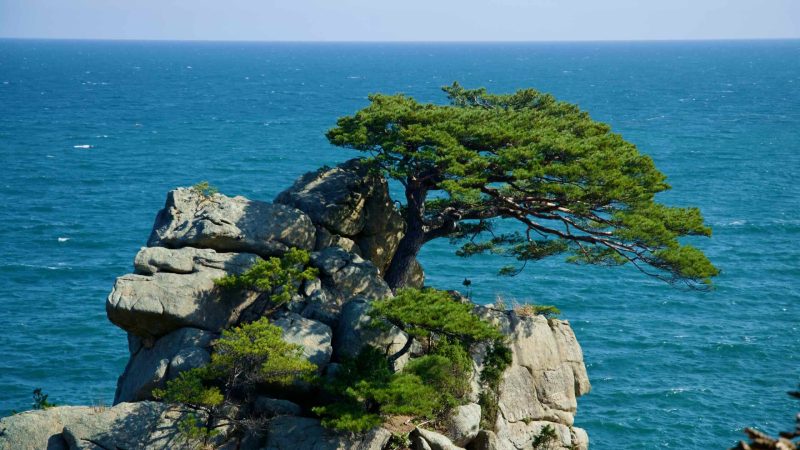
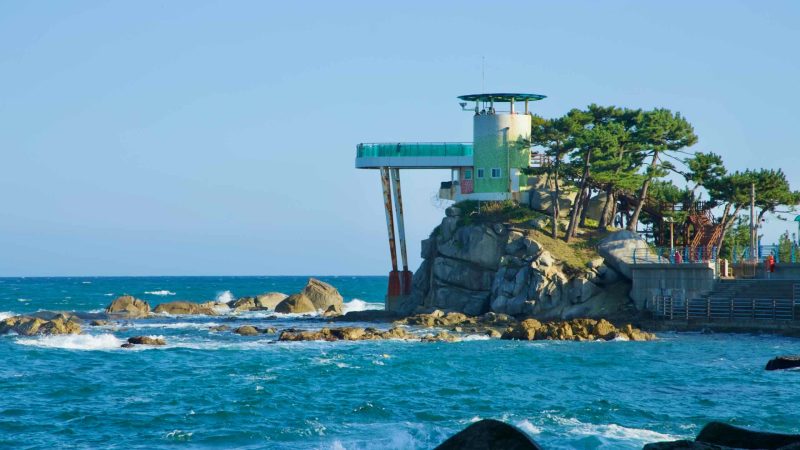
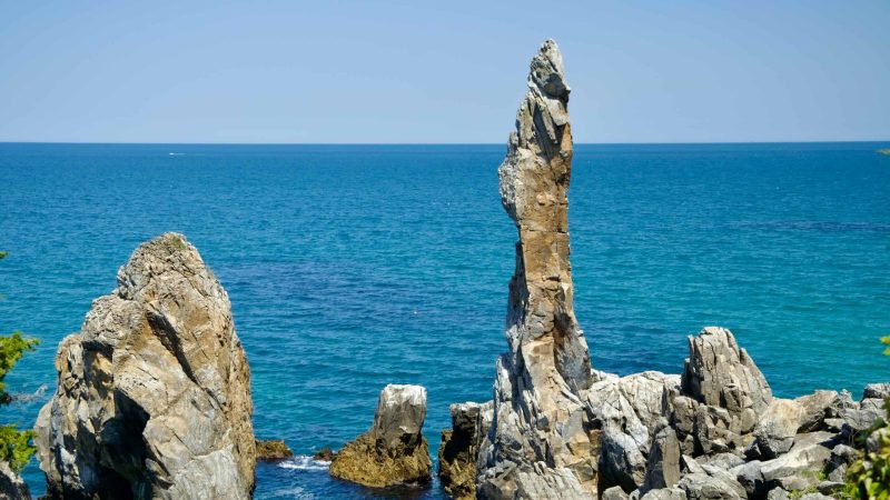
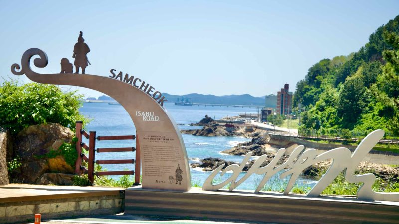
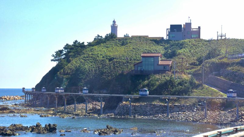
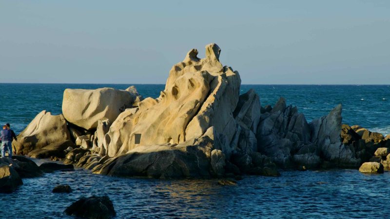
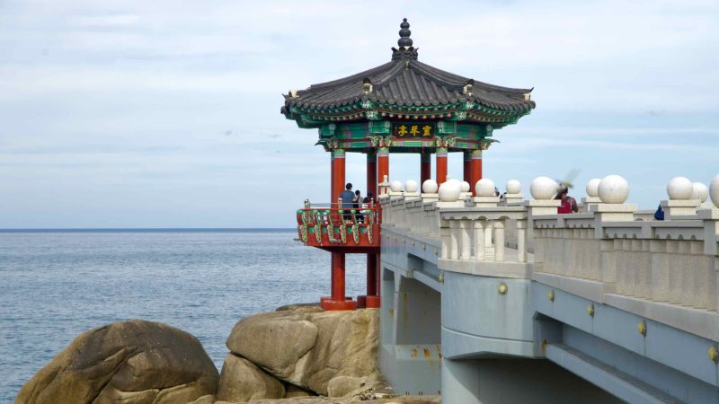
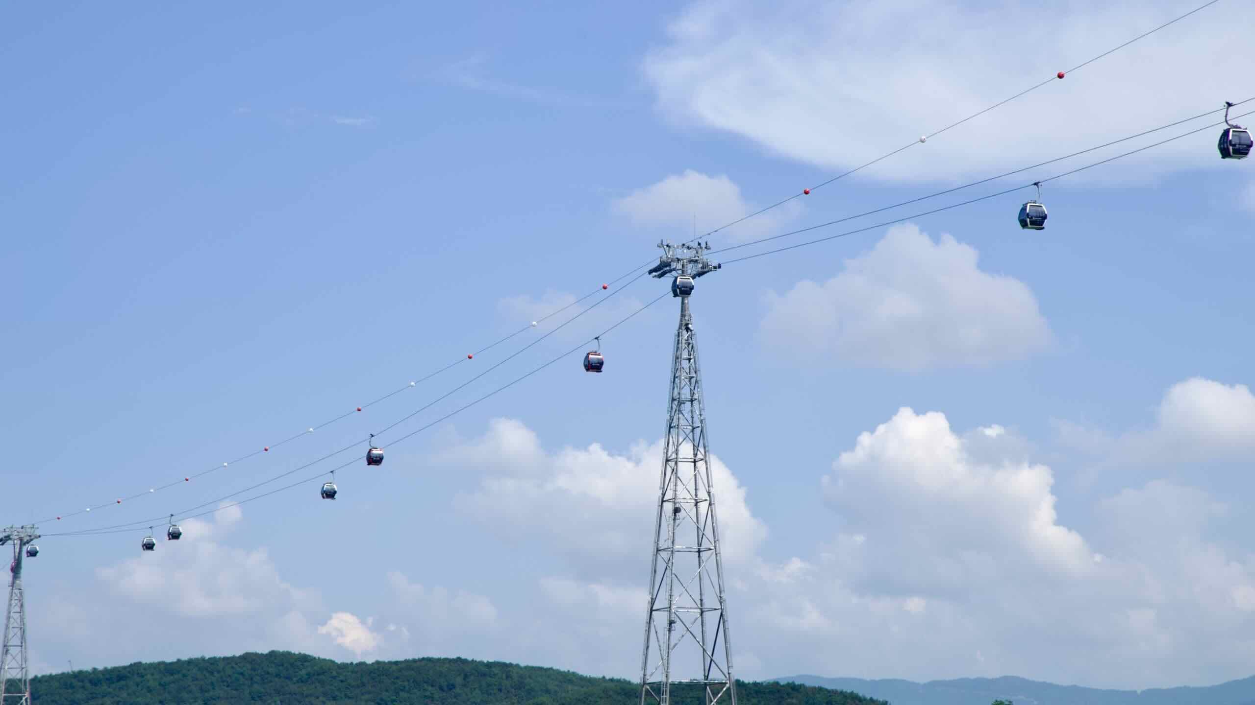
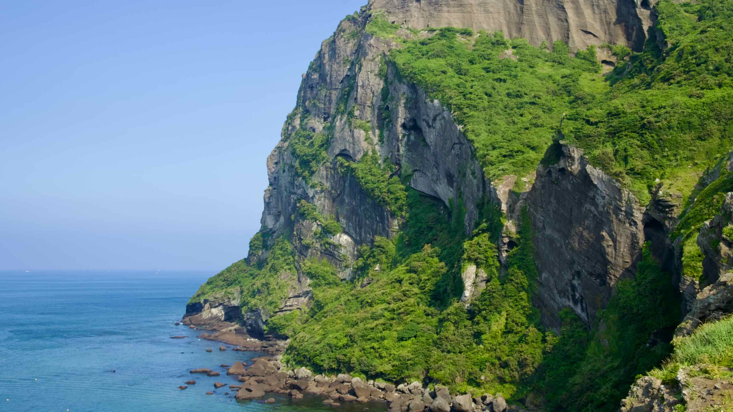
The path begins at Gopo Port (고포항; map) in Samcheok City, weaving northward through steep coastal hills and along the scenic “romantic” coastal road. Early highlights include a rail bike, cable car, and the iconic Candlestick Rock.
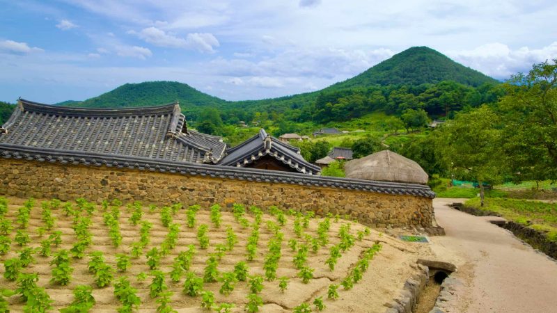
Western Routes
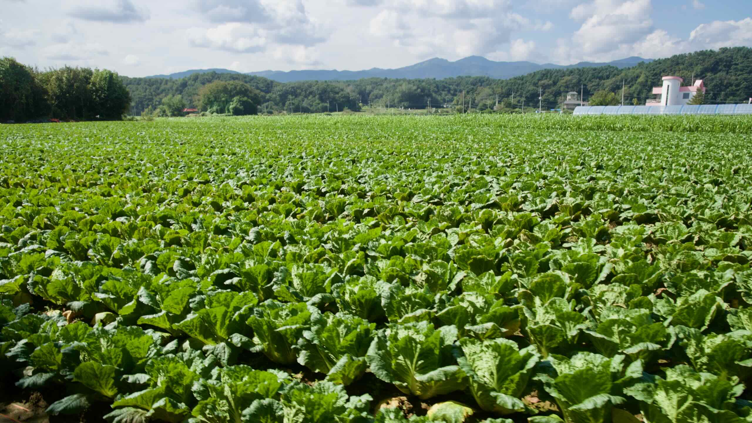
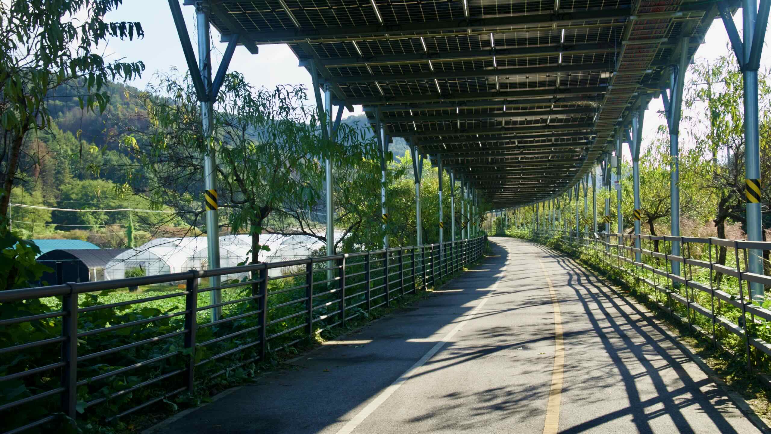
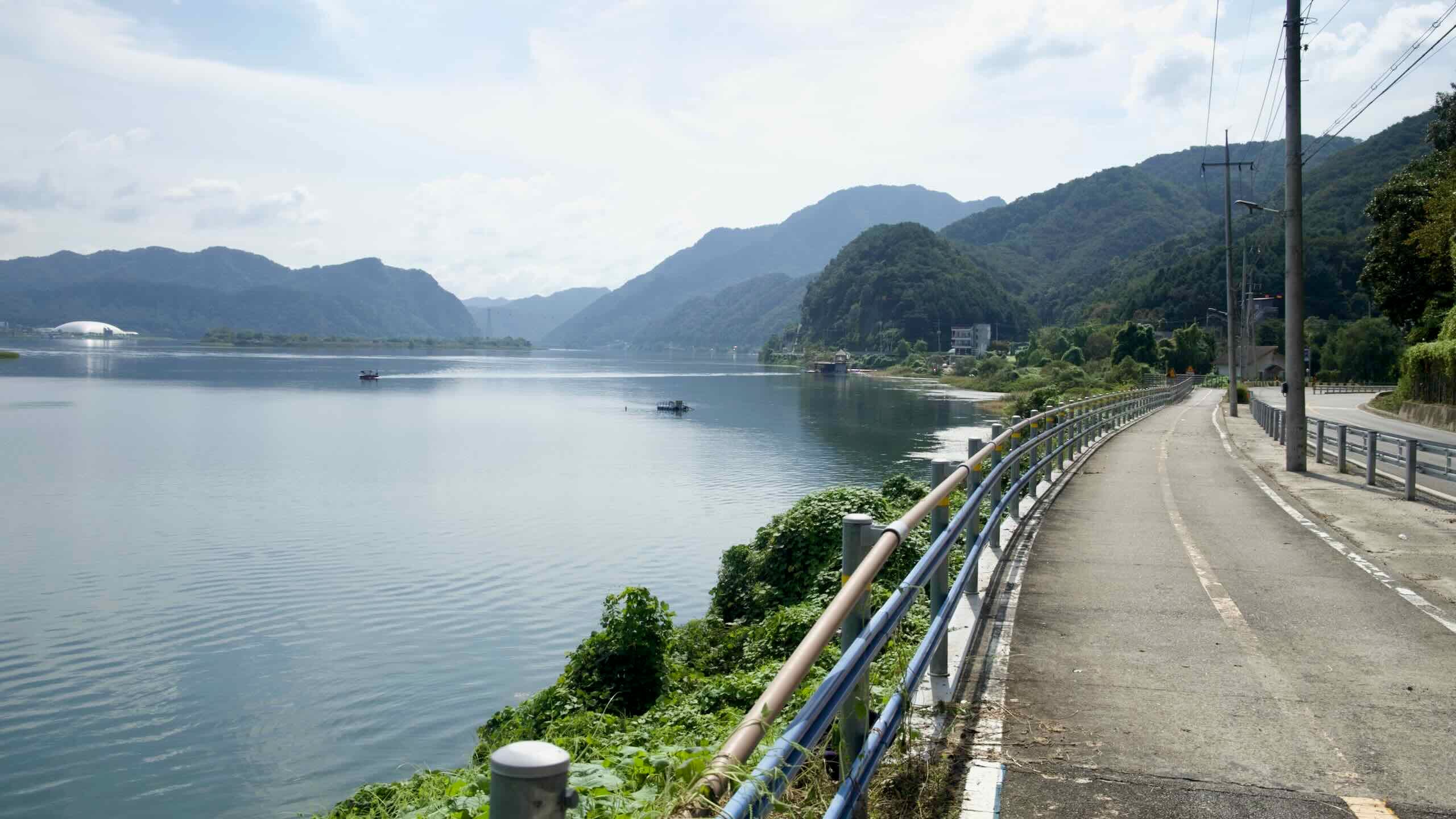
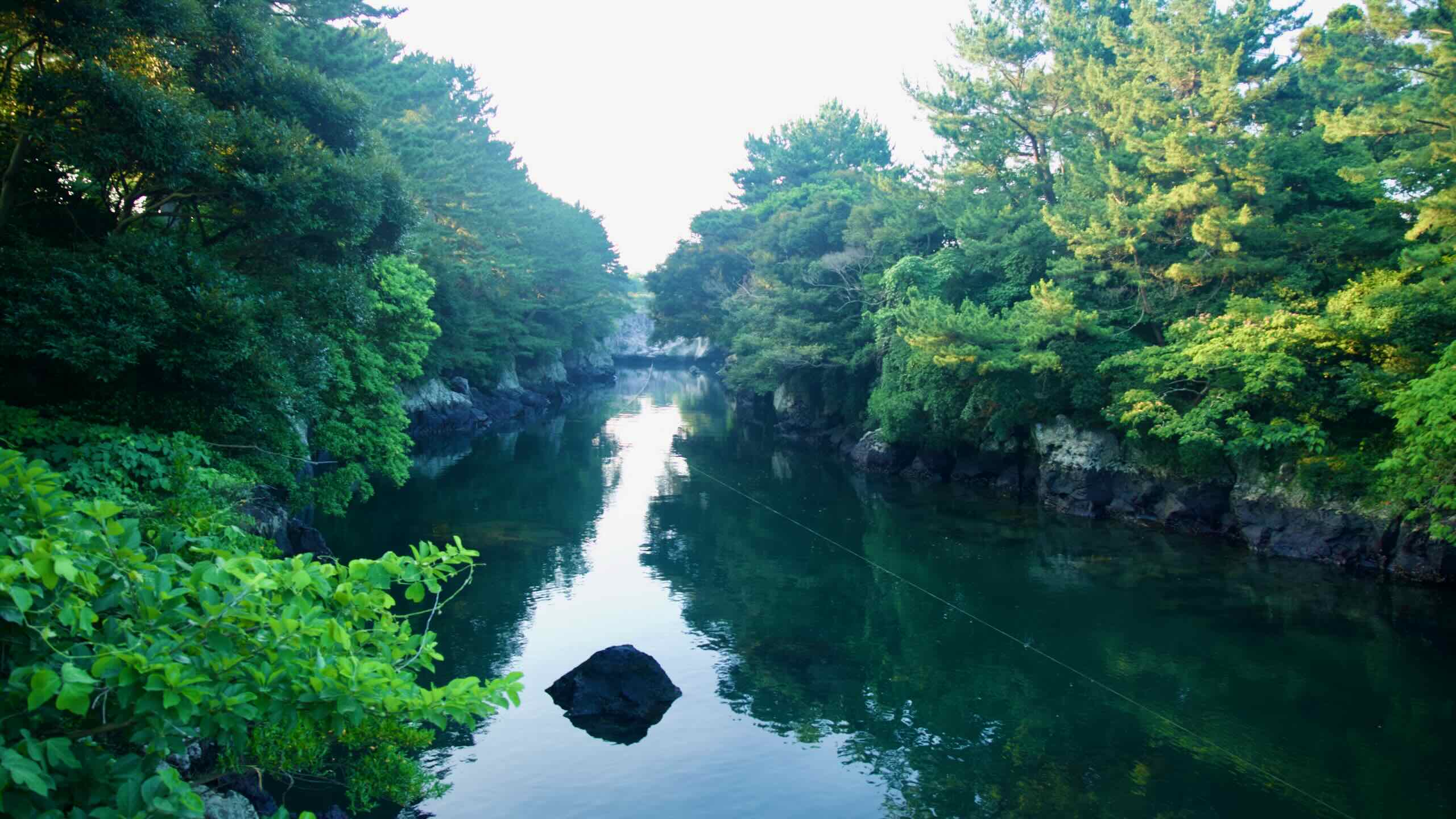
Four bike paths make up the Western Routes. They follow three major rivers—Geum, Yeongsan, and Seomjin—and the Ocheon’s five mountain streams.

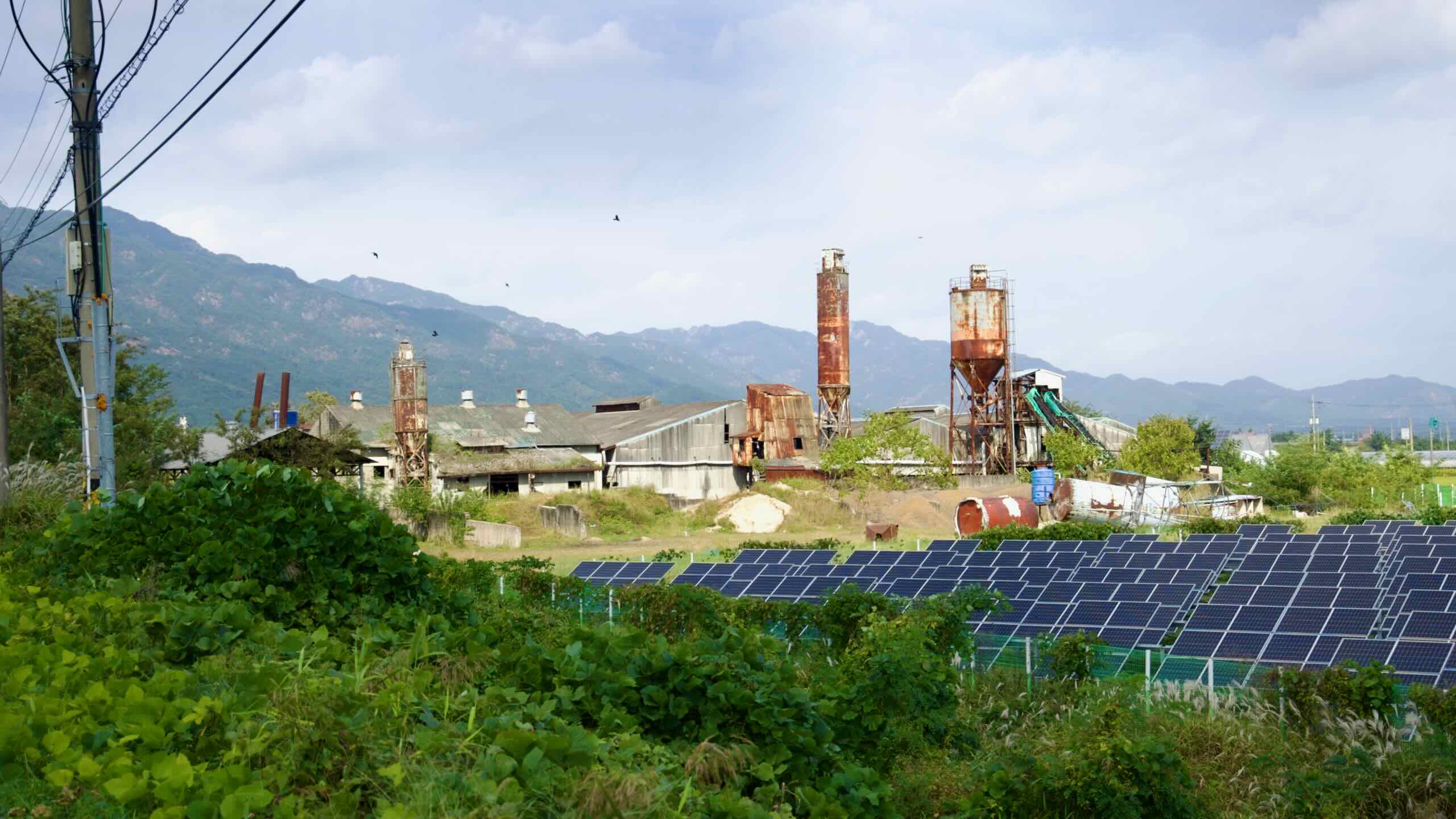
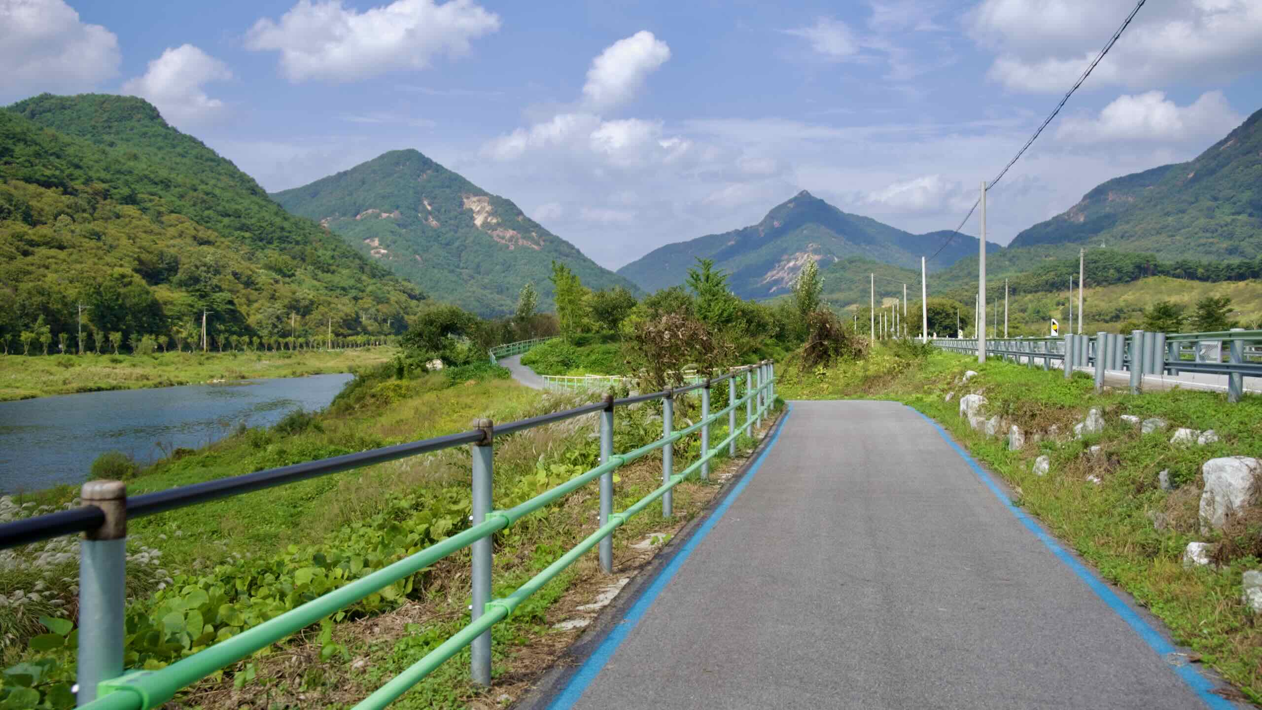
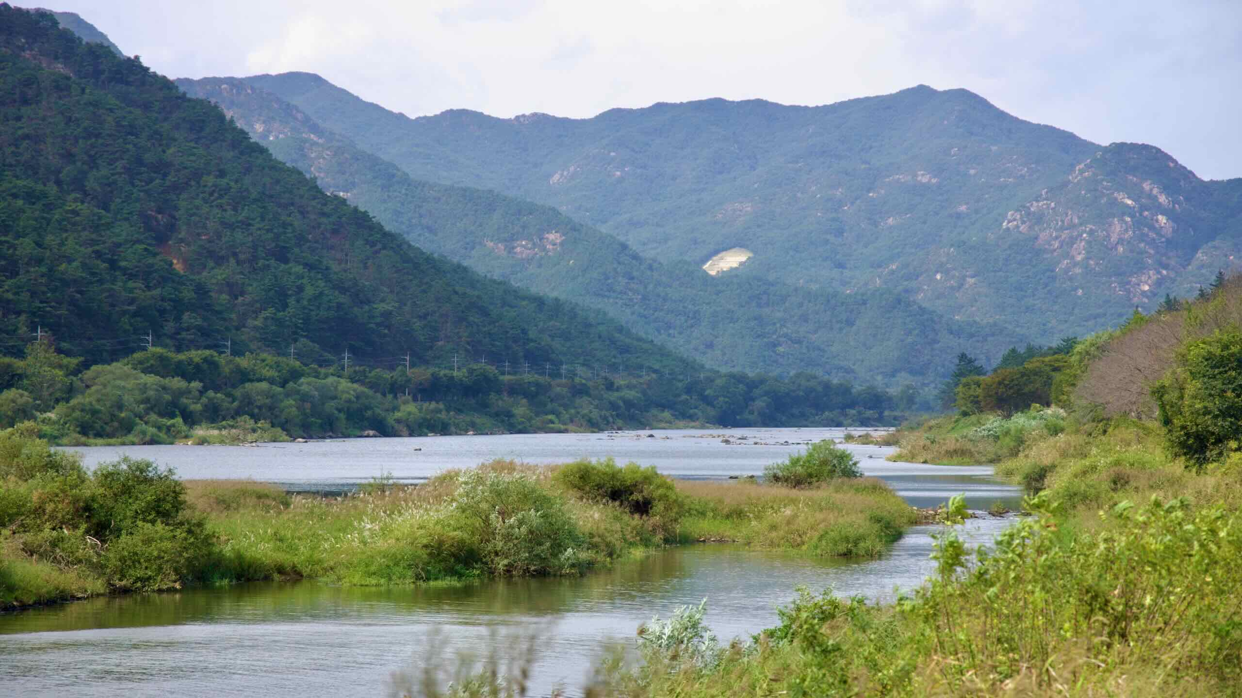
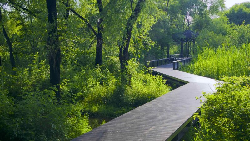
The routes don’t connect end-to-end, but they share a similar feel: mellow waterways, small towns, and mostly protected bike lanes. Most riders can finish each course in one to two days.
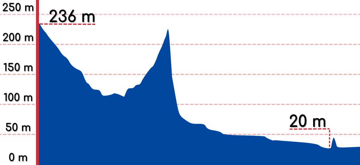
The Stats

- Time 27.5 hours (5 to 10 days)
- Length 527 km (327 miles)
- Elevation 236 m | 1 m (774 ft | 3 ft)
- Difficulty 🚲🚲🚲
- Certifications Ocheon, Geumgang, Seomjingang, Yeongsangang, Four Rivers, Grand Slam


Sail the Yeongsan River through flat, foodie provinces to the southwest tip of Korea.
Sail the Yeongsan River through flat, foodie provinces to the southwest tip of Korea.
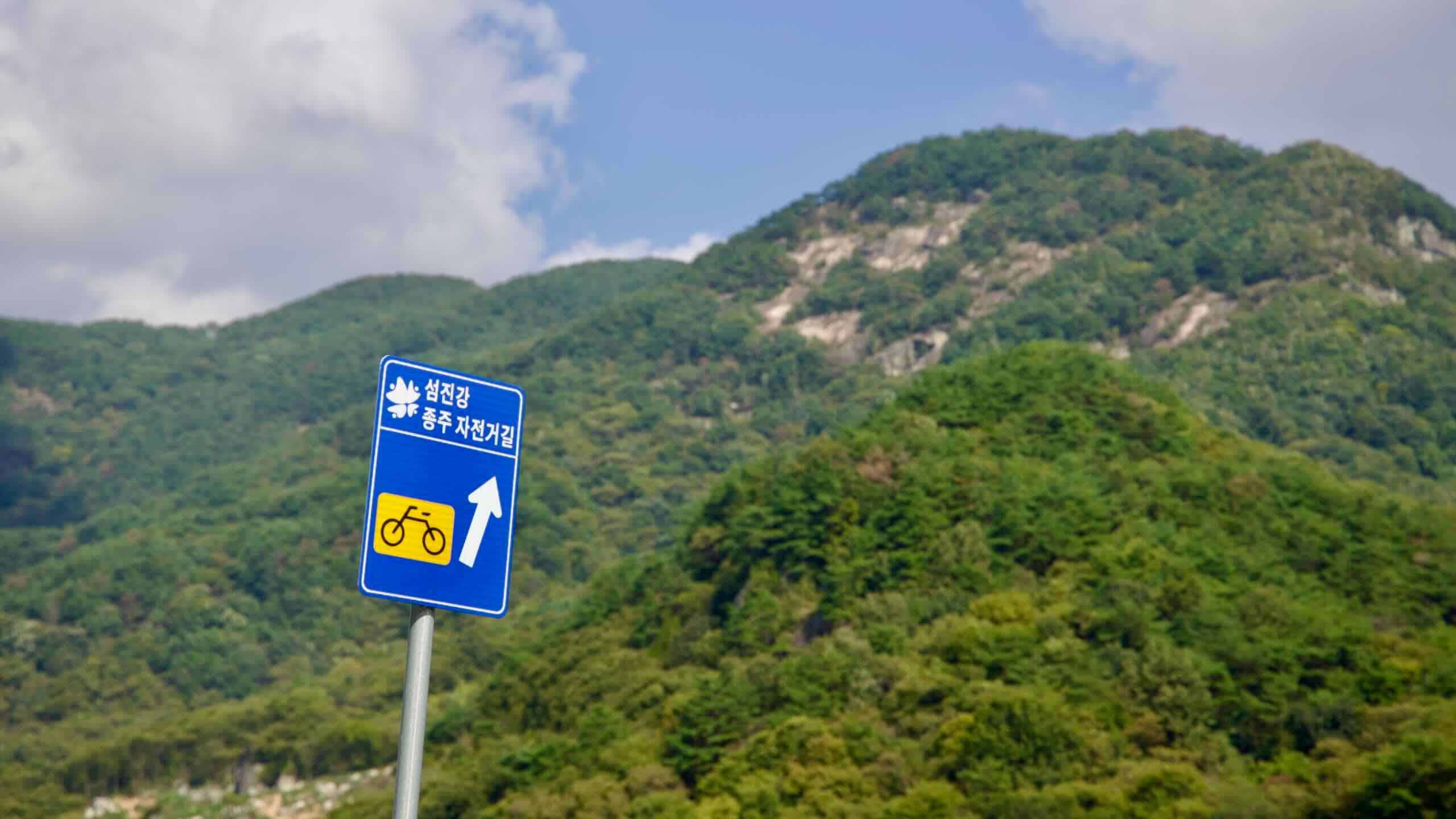
Ride the Seomjin River along railroads and cherry blossoms to the bottom of Korea.

Ride the Seomjin River along railroads and cherry blossoms to the bottom of Korea.
Overview
Four bike paths in Korea’s western regions create the Western Routes. They follow three rivers (Geum, Yeongsan, Seomjin) and five mountain streams (Ocheon).

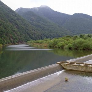
- Ocheon Bicycle Path — Follow five streams through mountain valleys onto the Geum River.
- Geumgang Bicycle Path — Cycle a historic river past ancient settlements and forts to the Yellow Sea.
- Seomjingang Bicycle Path — Ride the Seomjin River along railroads and cherry blossoms to the bottom of Korea.
- Yeongsangang Bicycle Path — Follow the Yeongsan River across Korea’s southwest plains to the coast.
The Western Routes feature four bike paths. None of them connect end-to-end. But they share similar features:
- The cycling paths explore smaller cities, towns, and quiet countrysides.
- They cross only a handful of challenging hills along their tame waterways.
- Each bike path will take one or two days to complete.
Let’s look closer at them.
Jeju & More Routes
Jeju & More Routes bundles cycling courses that don’t fit neatly into the main route groups. It includes two certification bike paths—Jeju Fantasy and Bukhangang—plus two non-certification rides on Korea’s southeast coast.


The Stats
- Time 17 hours (3 to 5 days)
- Length 304 km (189 miles)
- Elevation 165 m | 10 m (541 ft | 33 ft)
- Difficulty 🚲🚲🚲🚲
- Certifications Jeju Fantasy, Bukhangang, Grand Slam


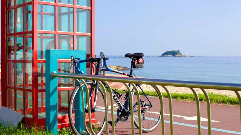
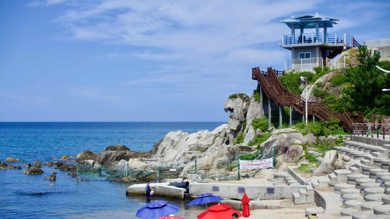
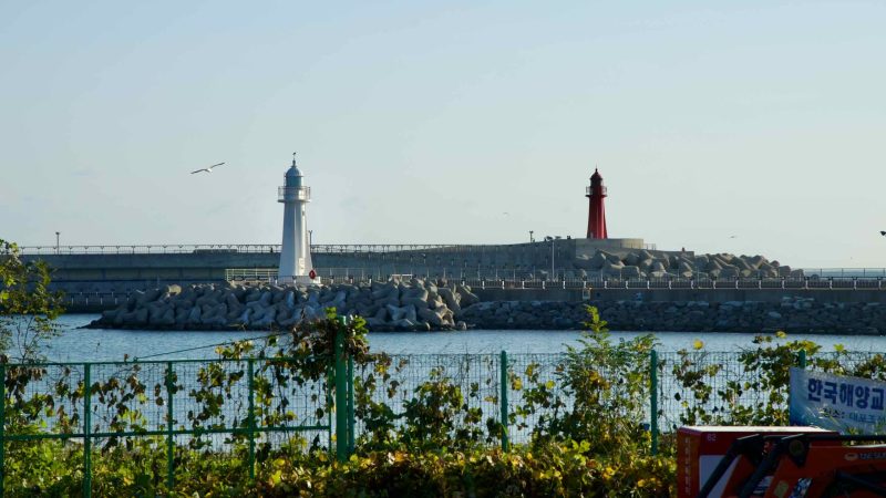
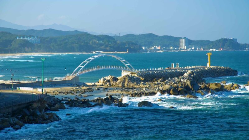
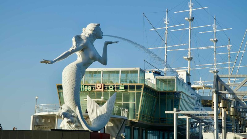
Complete the rest of Korea’s east coast, from Yeongdeok County to Busan City.
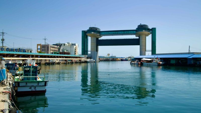
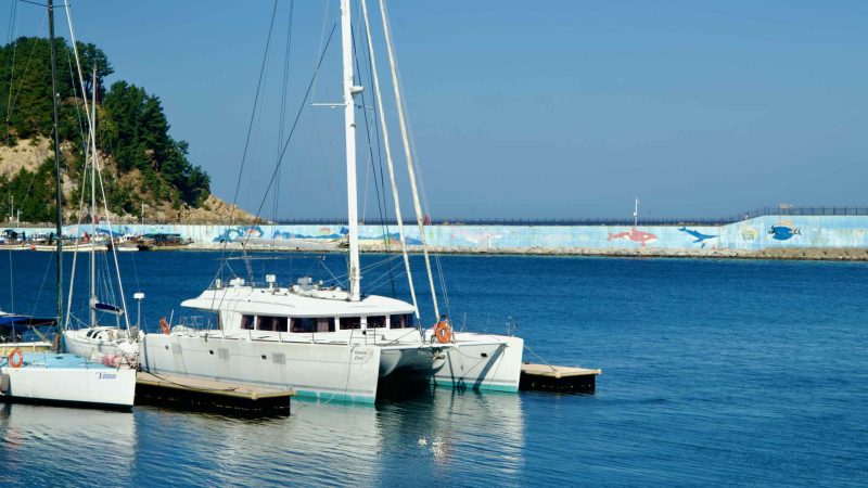
Ride the Taehwa River through the heart of Ulsan City and onto the east coast.
Overview
Ride lengths range from short, half-day loops to multi-day trips. Expect a mix of protected bike paths, riverside parks, and coastal roads.


Jeju & More Routes cast a wide net. It explores two certification bike paths, a cycling course at the bottom of the east coast, and more biking routes.
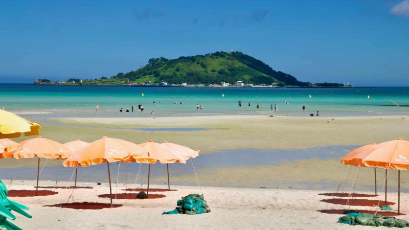
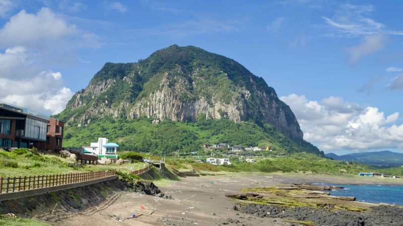
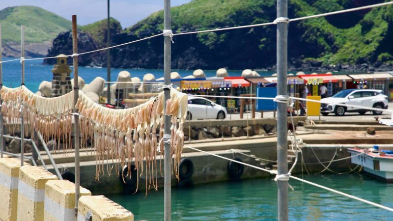
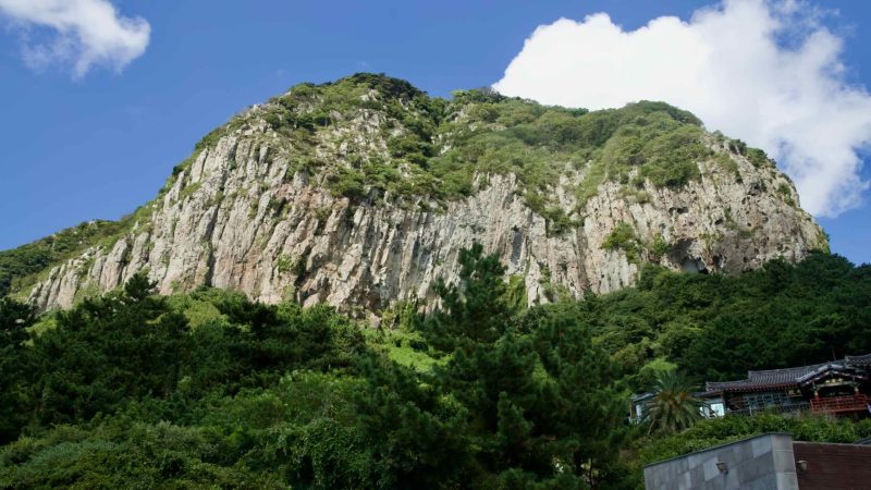
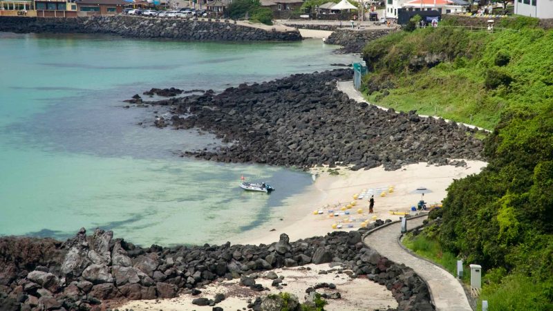
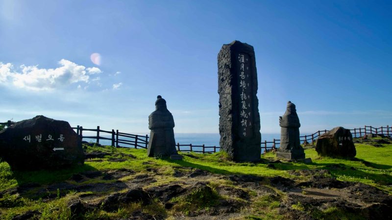
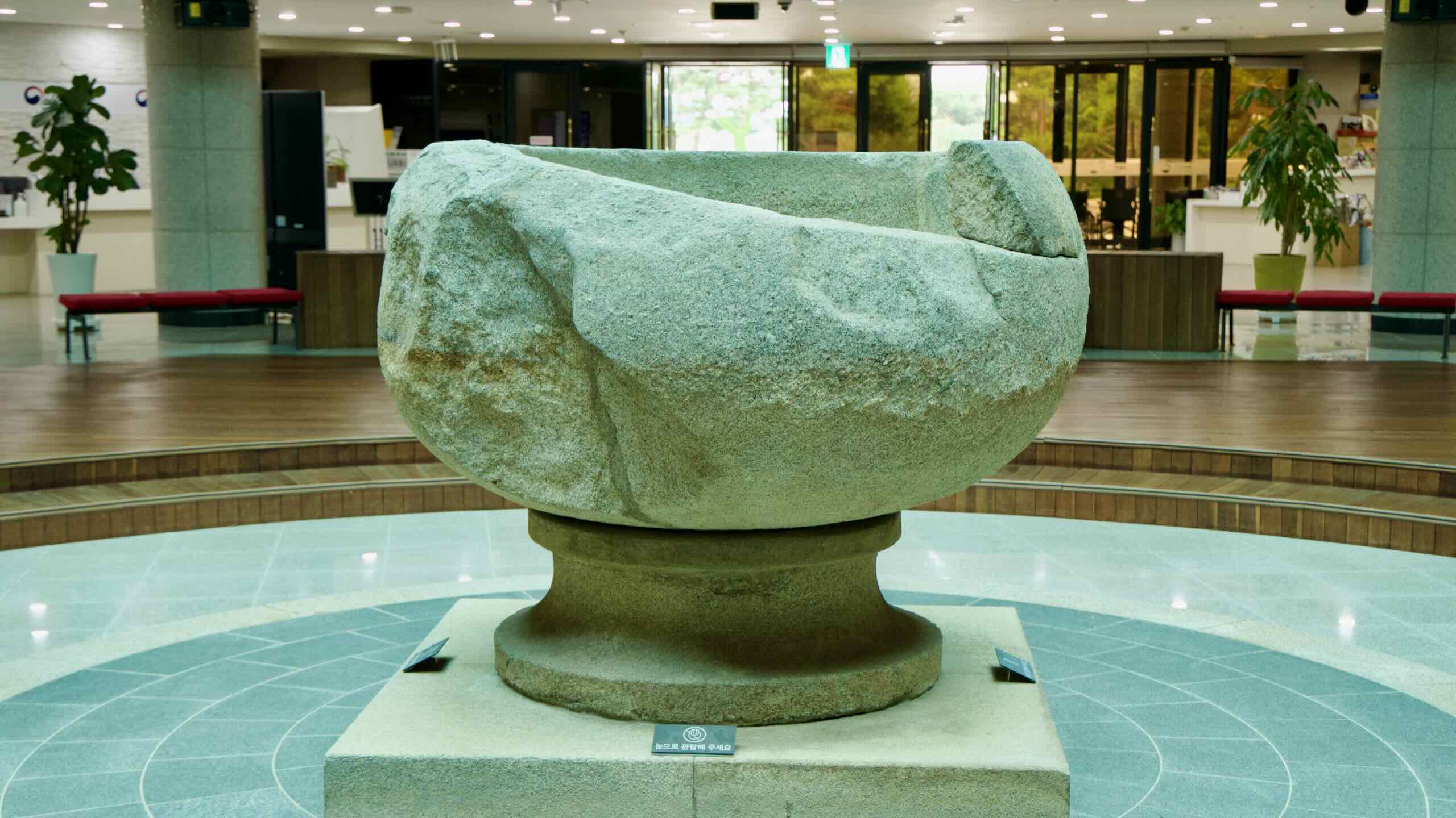
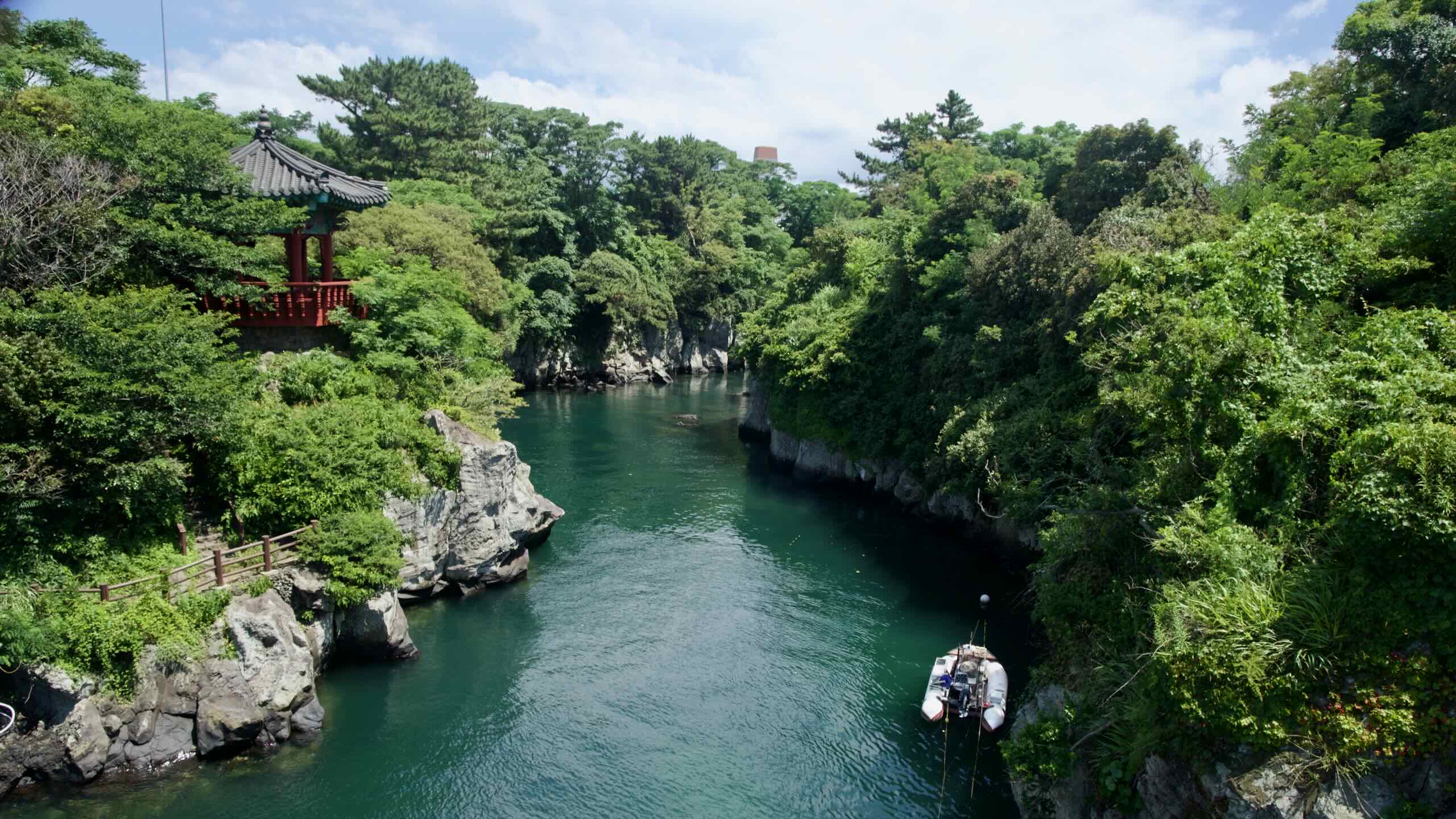
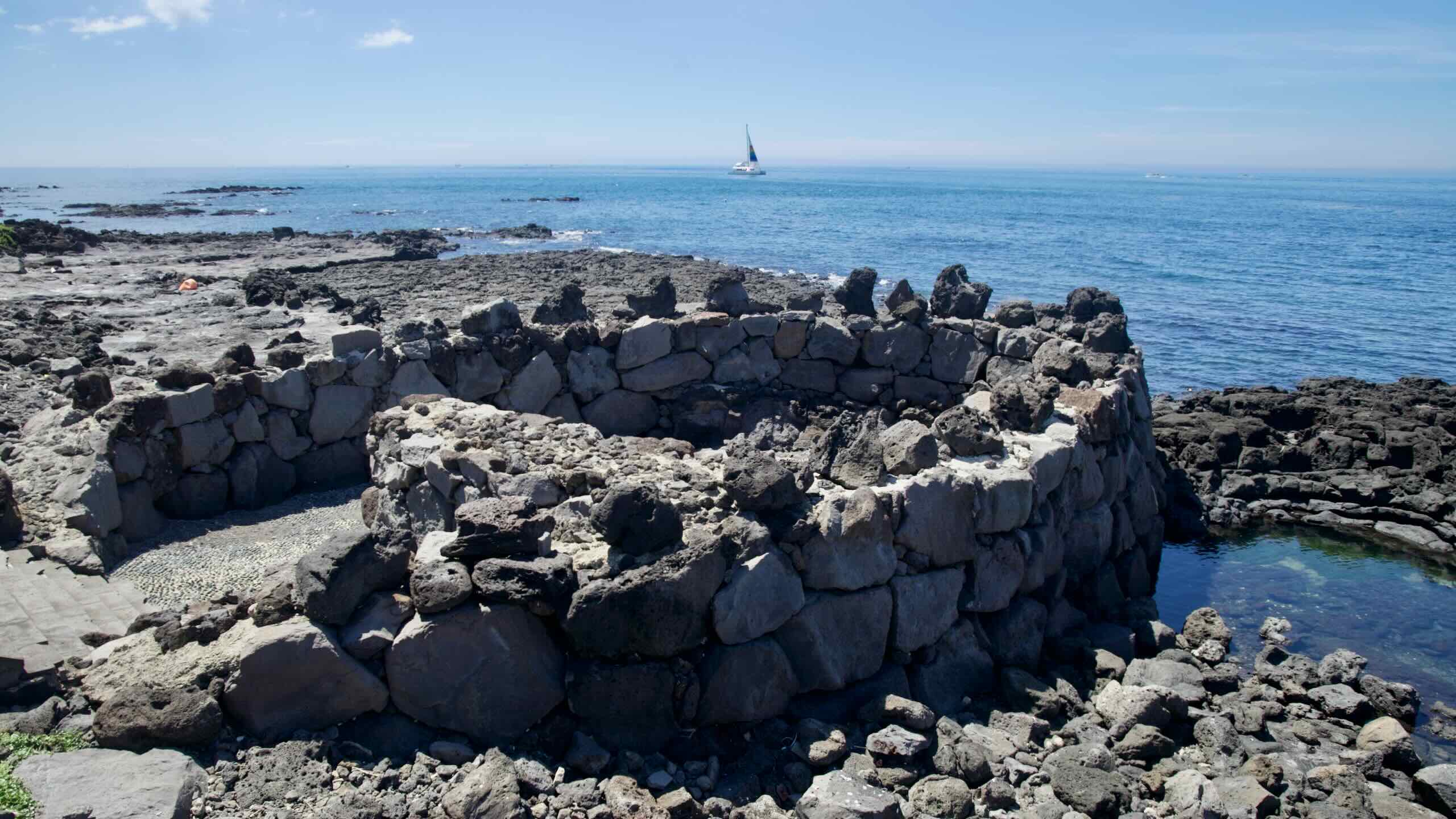
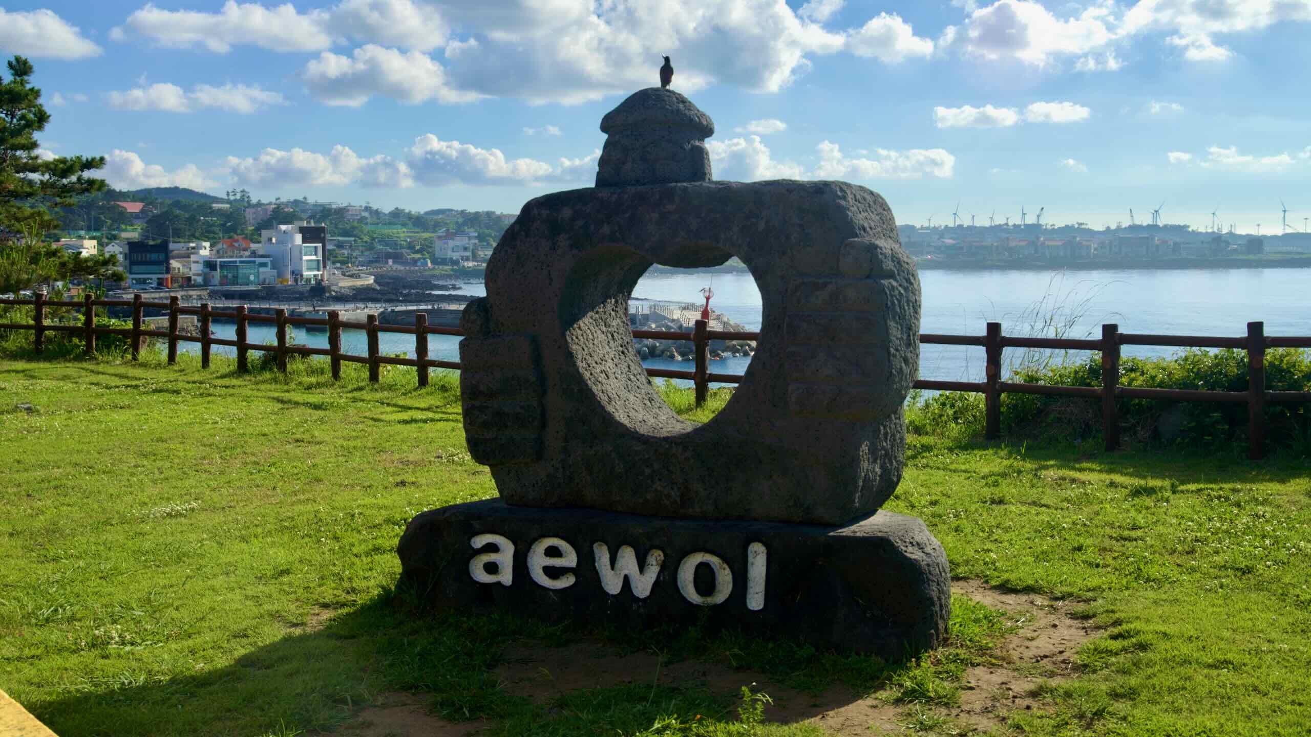
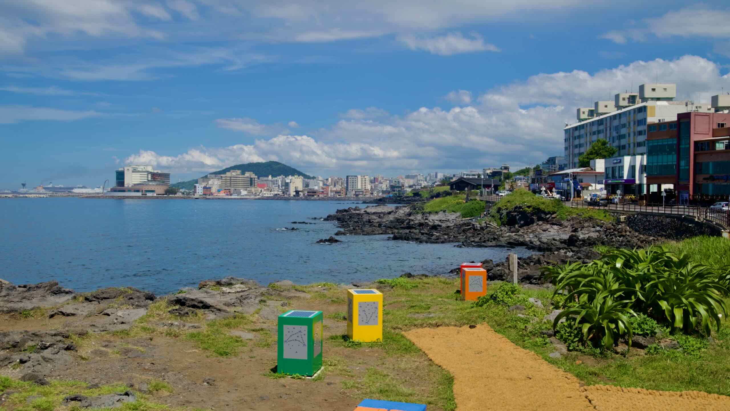
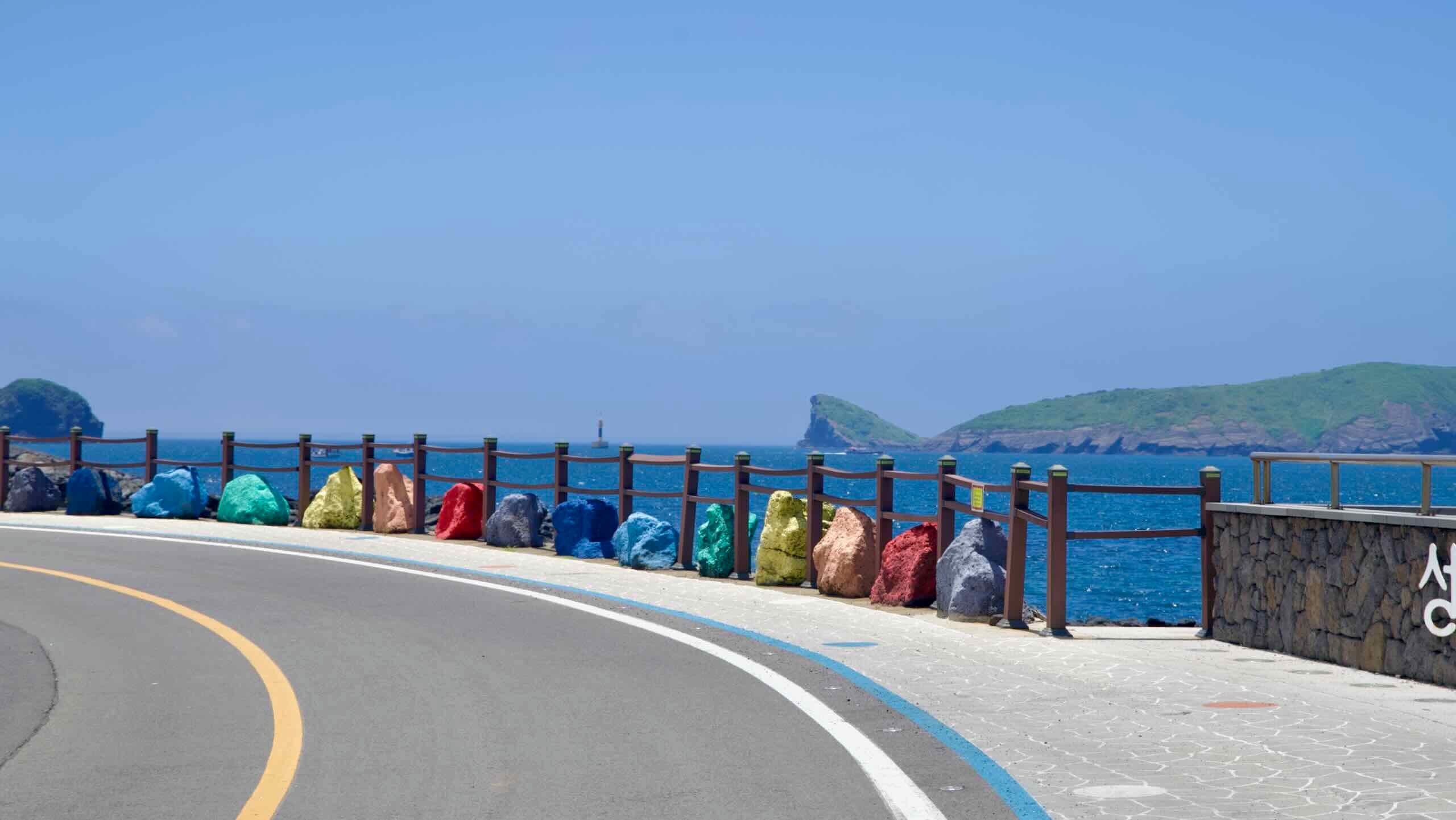
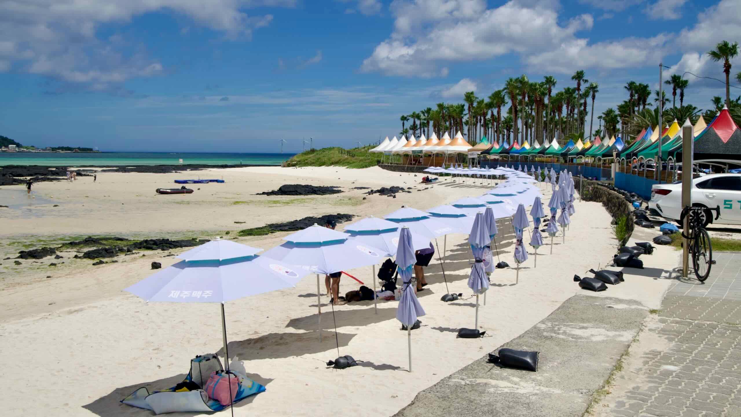
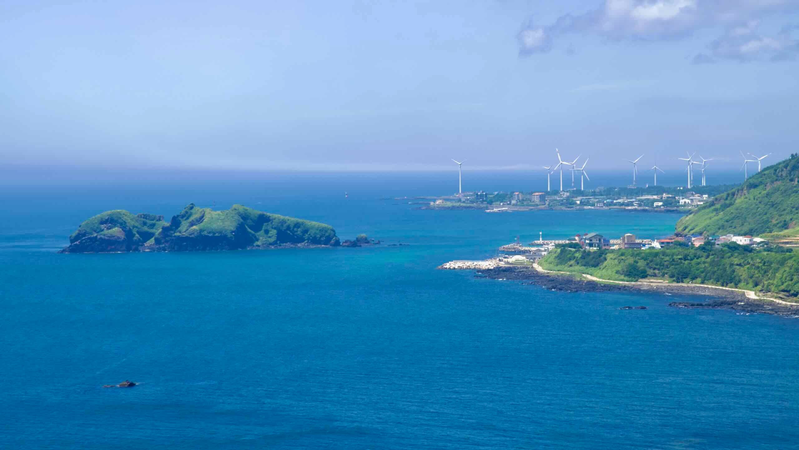
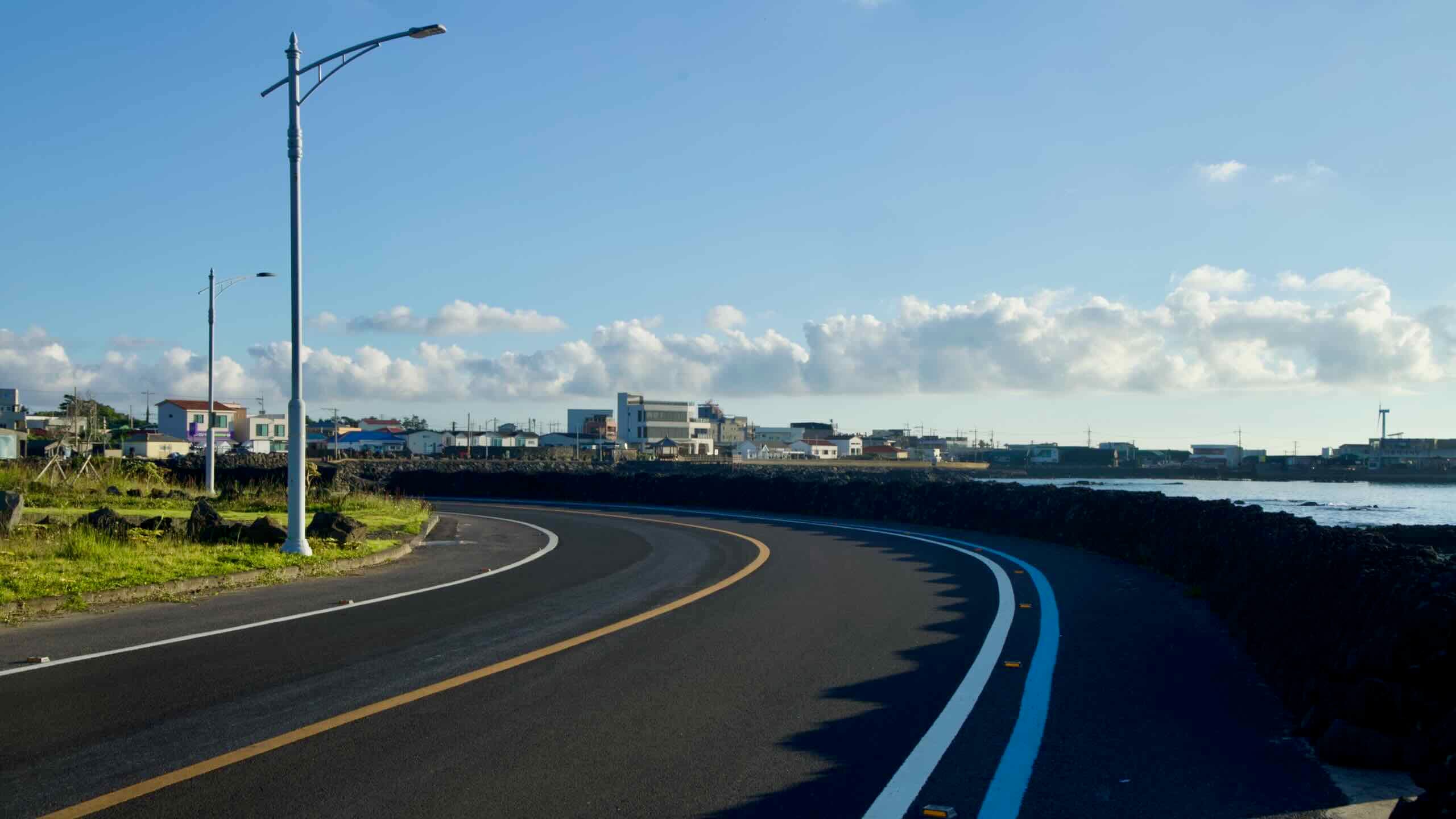
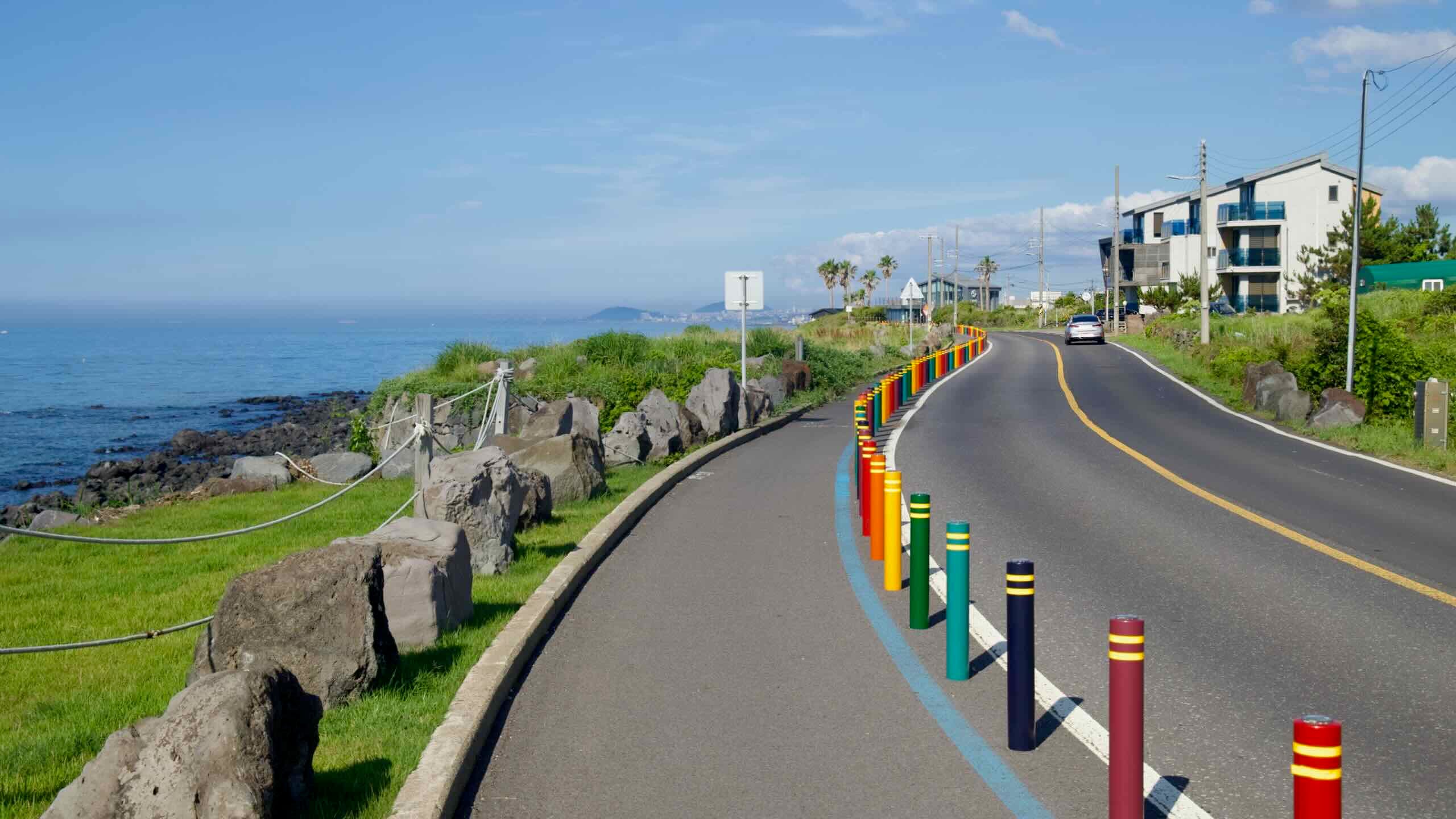
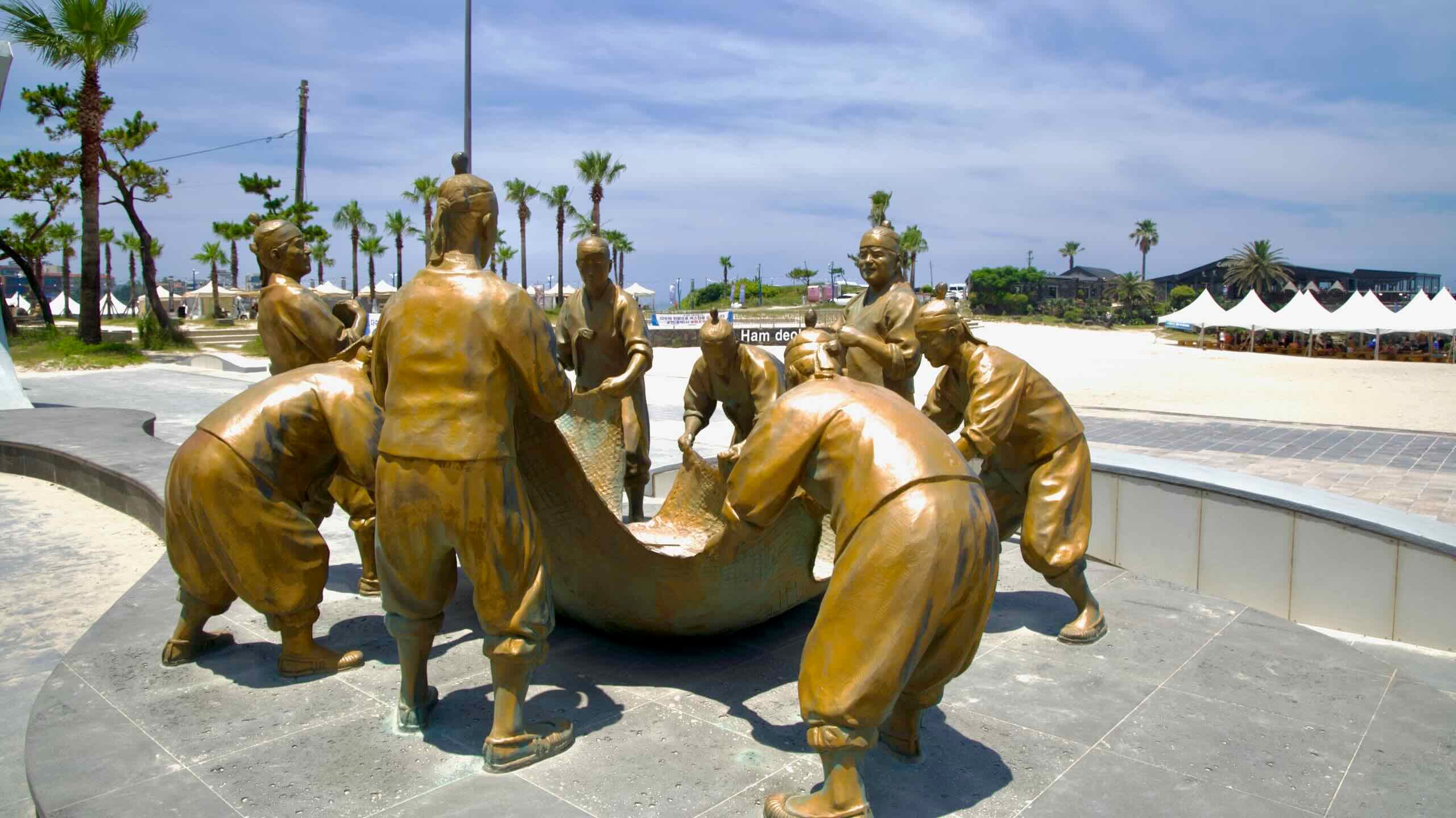
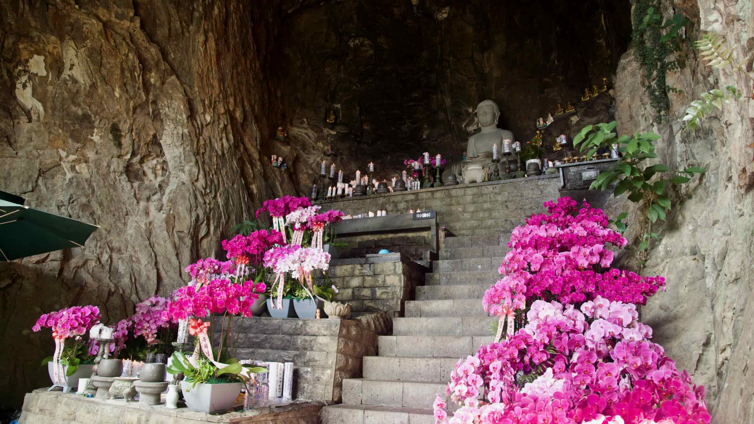
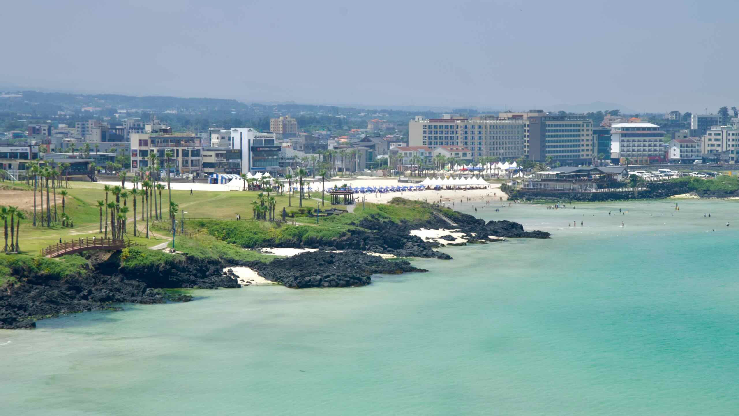
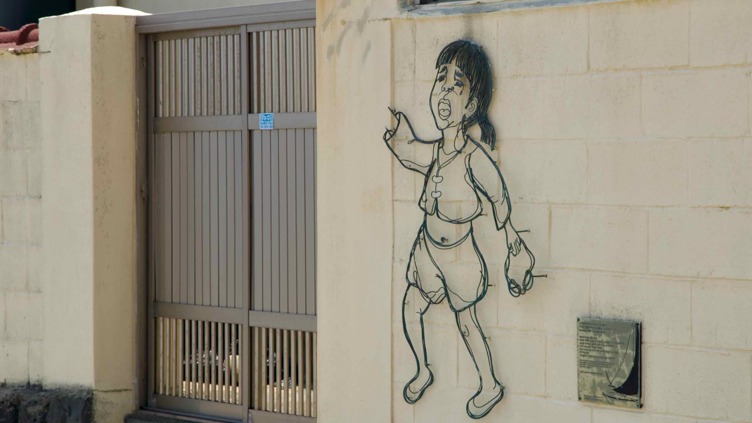
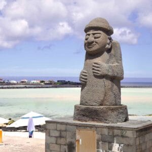
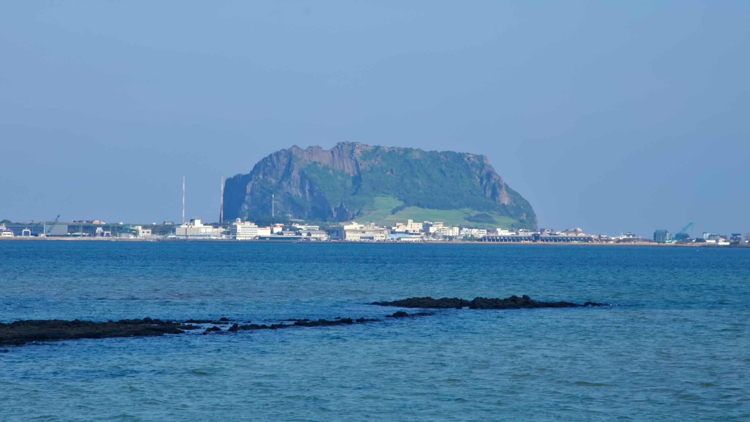
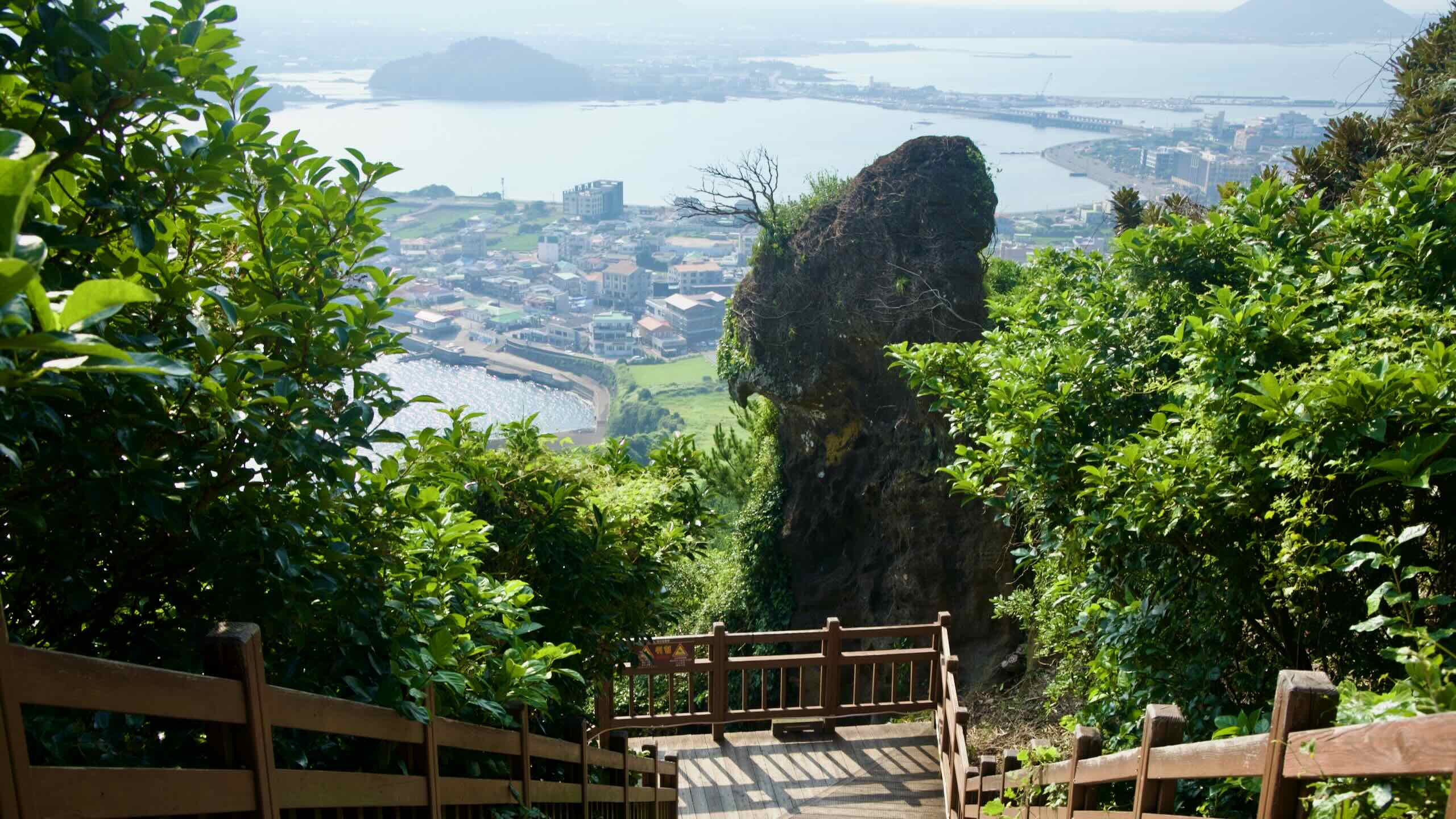
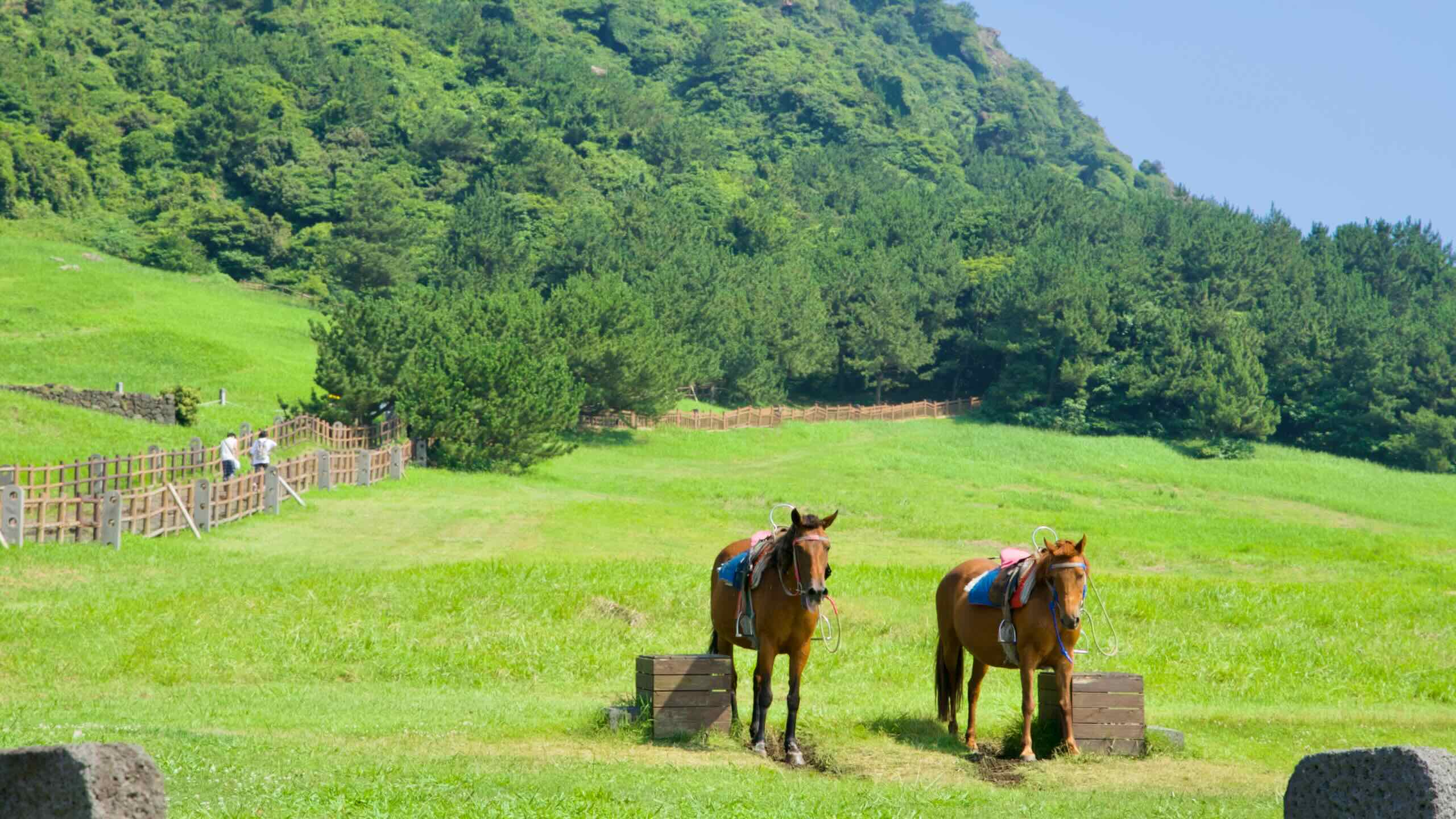
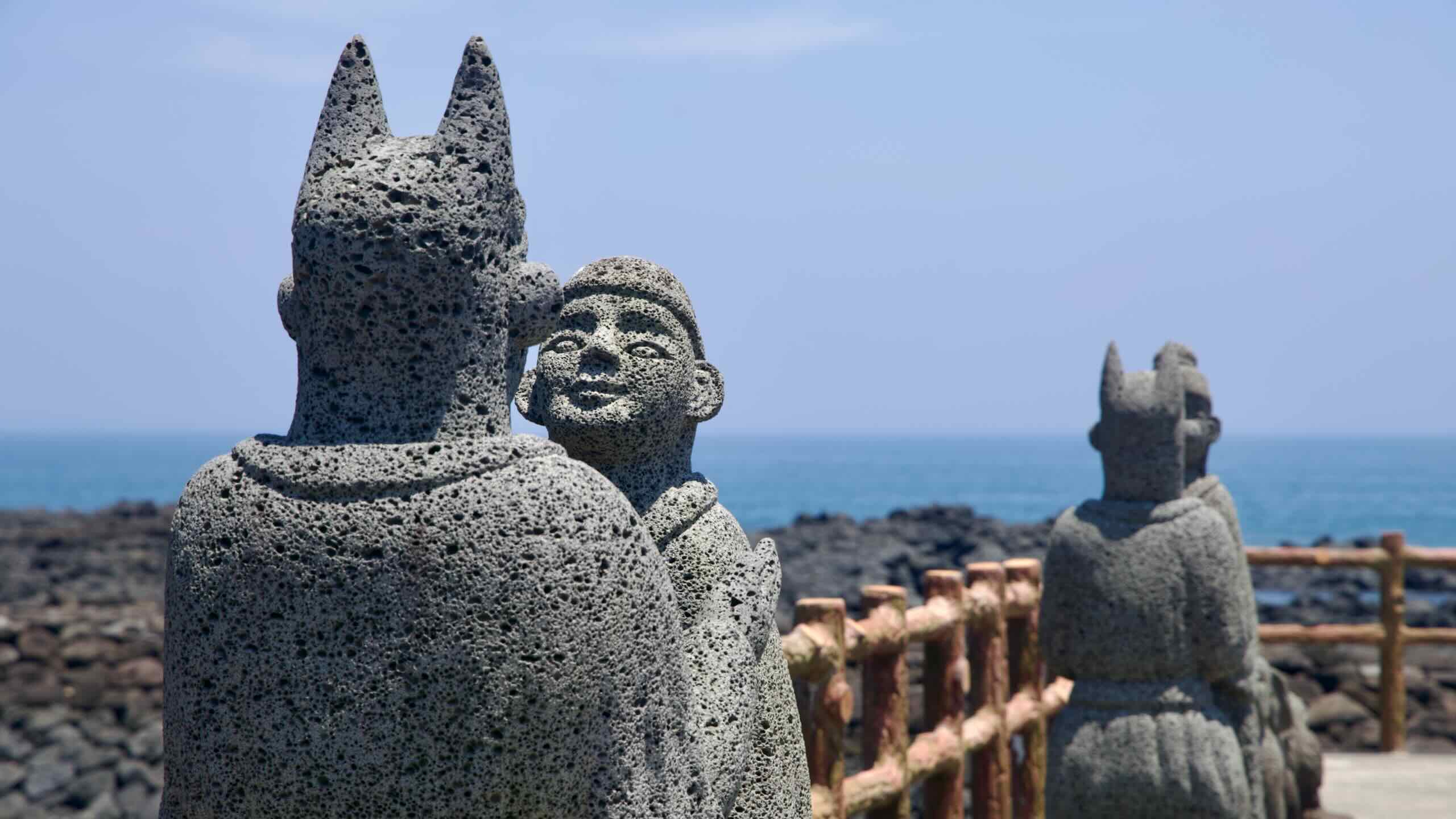
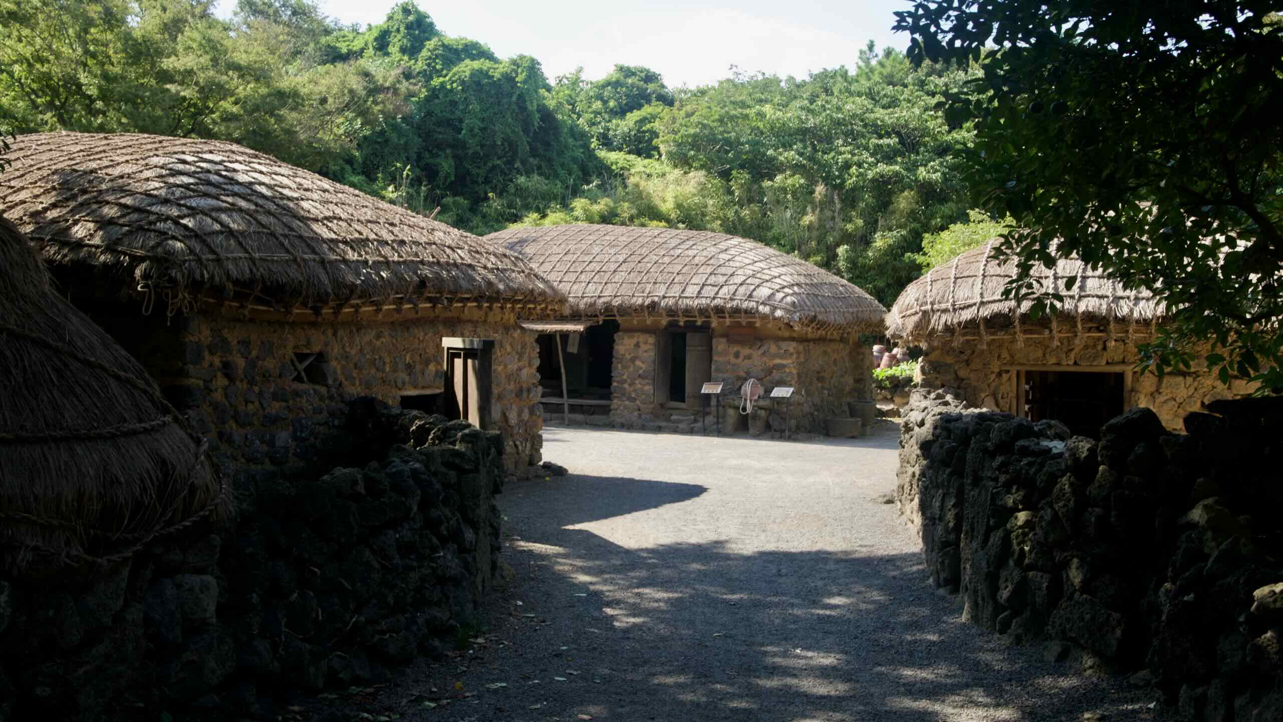
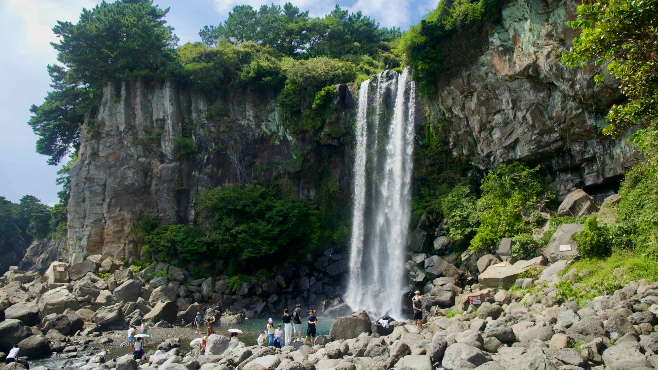
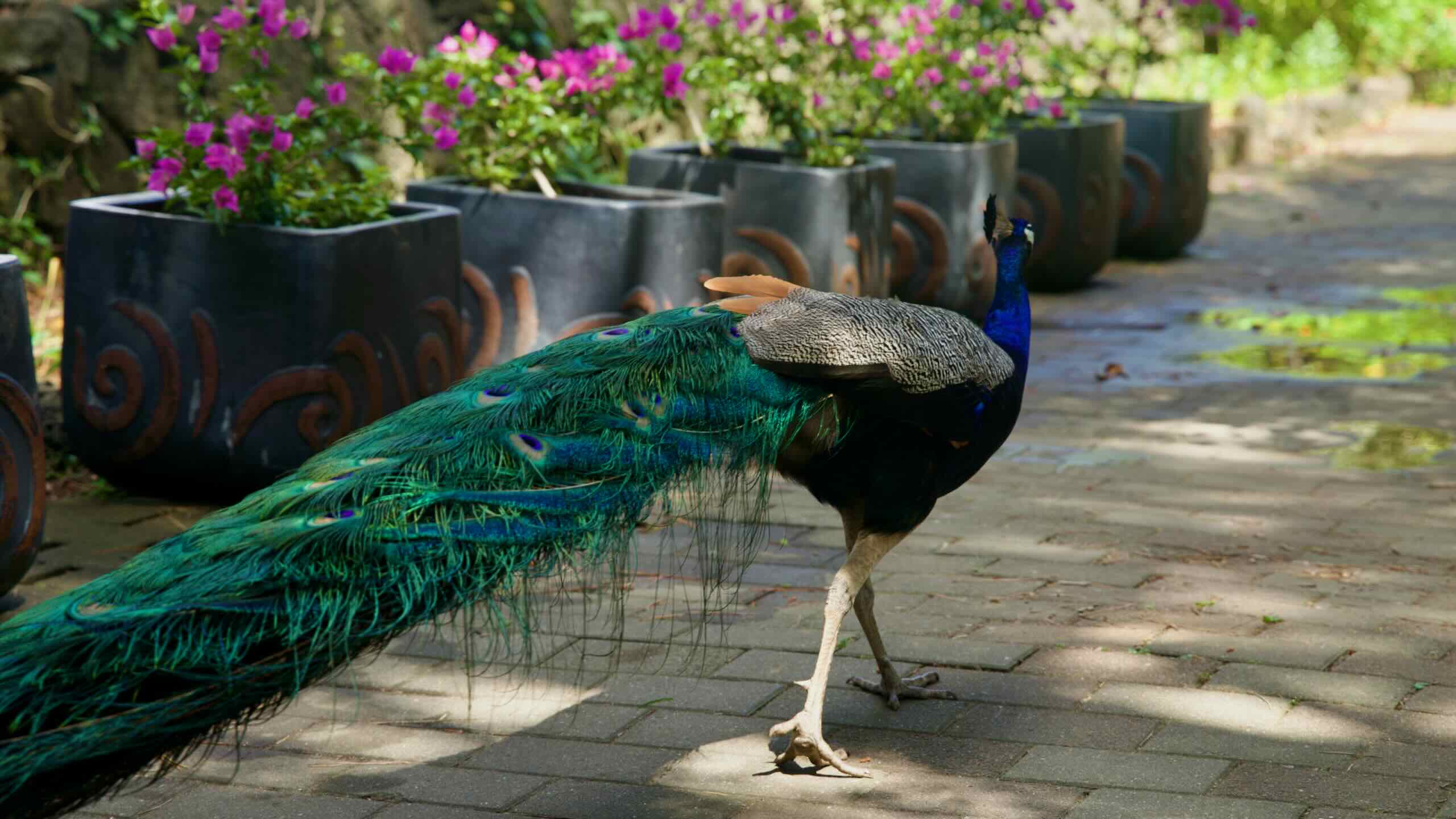
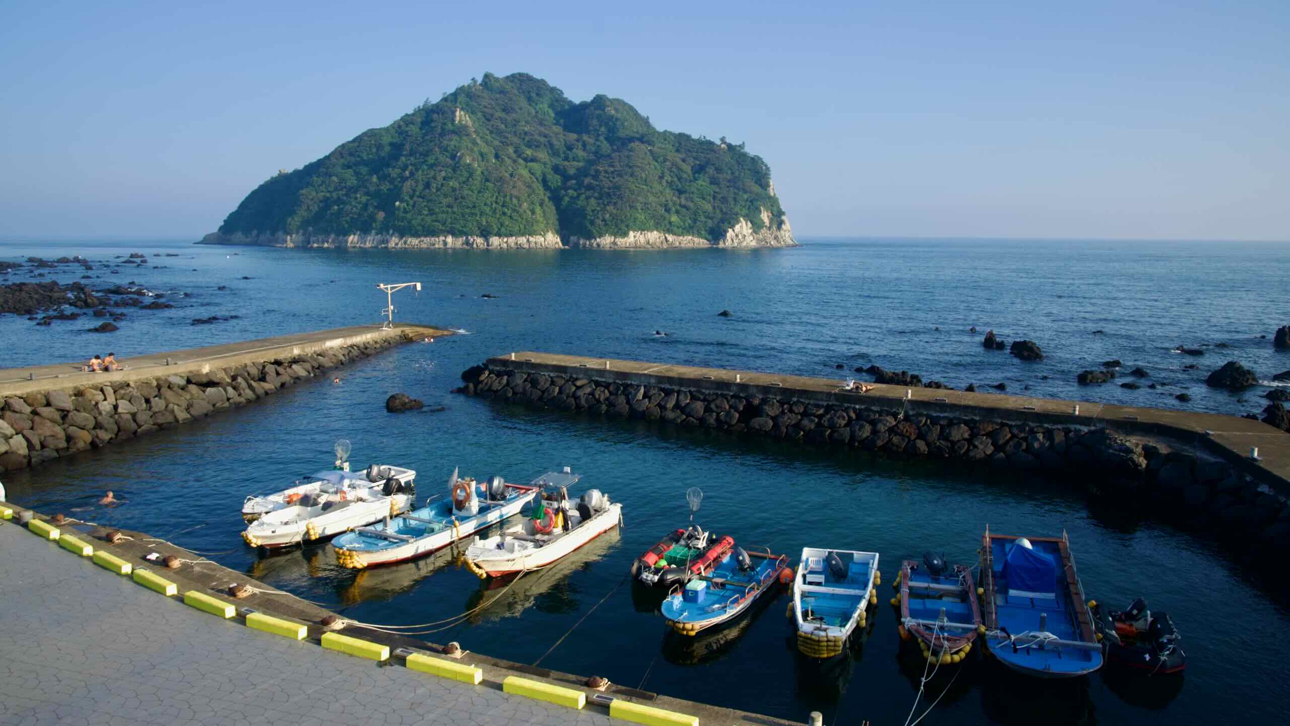
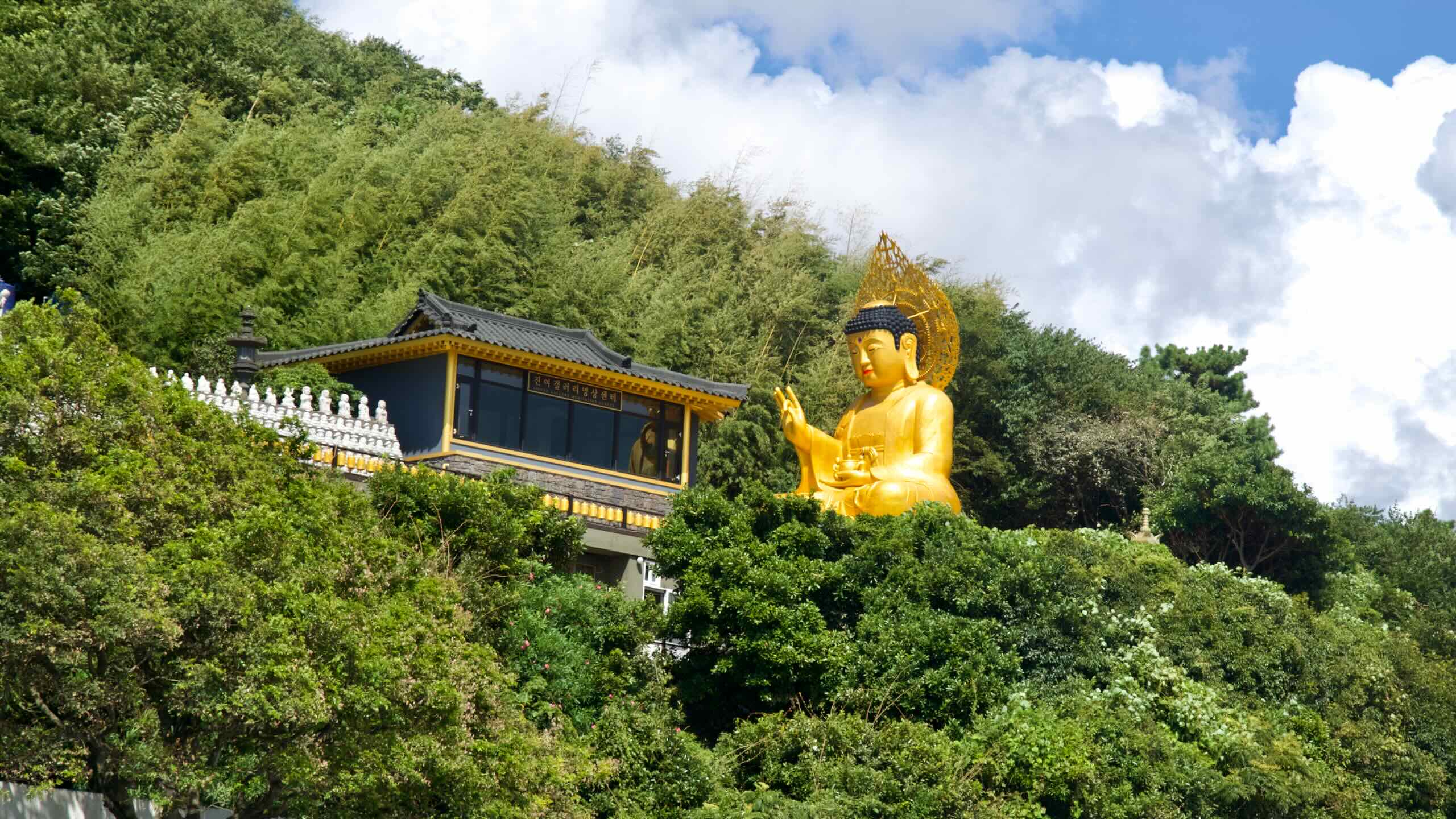
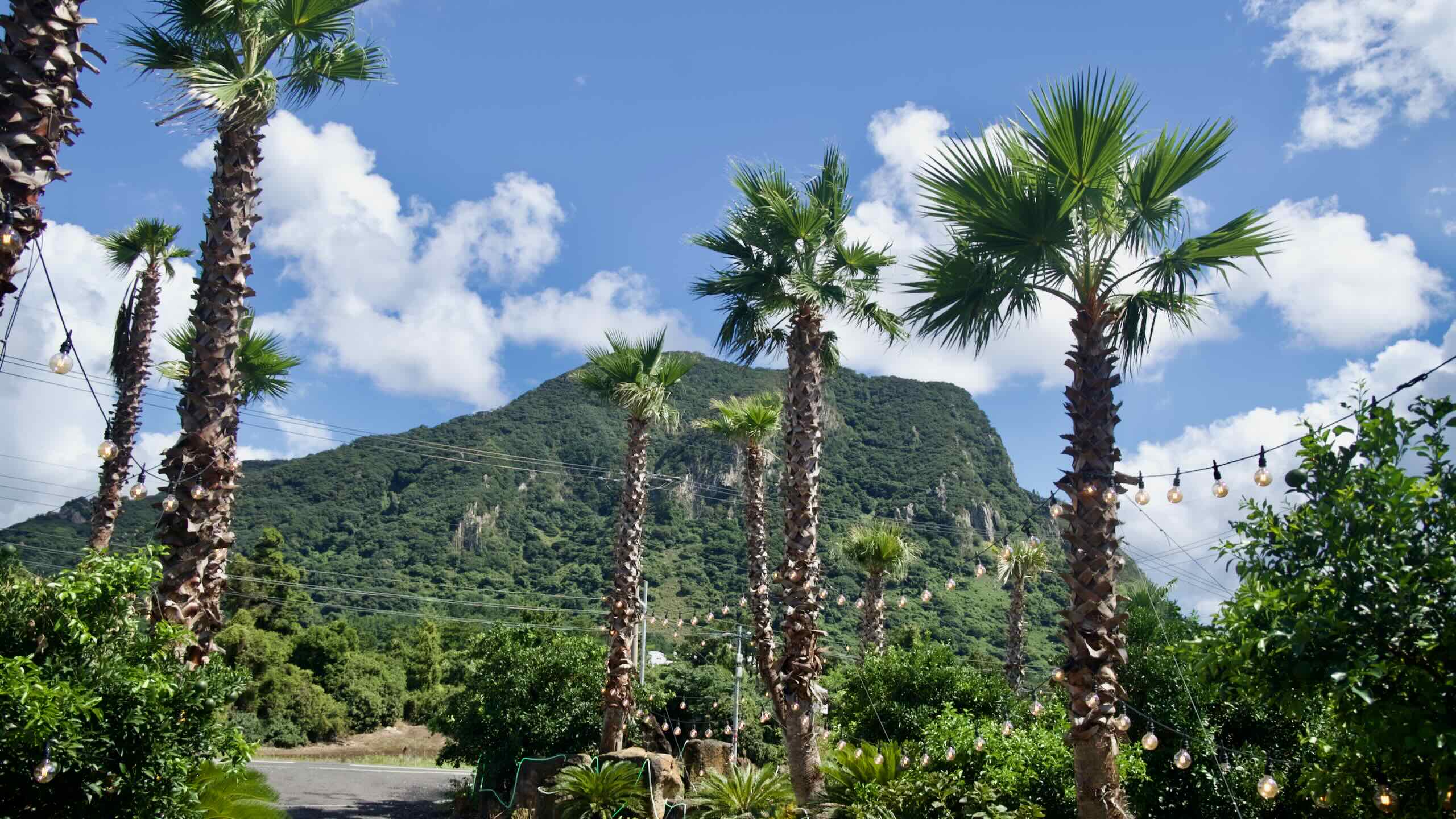
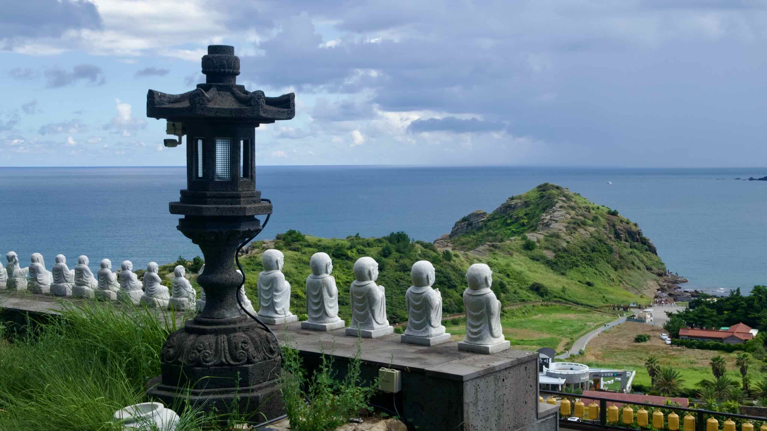
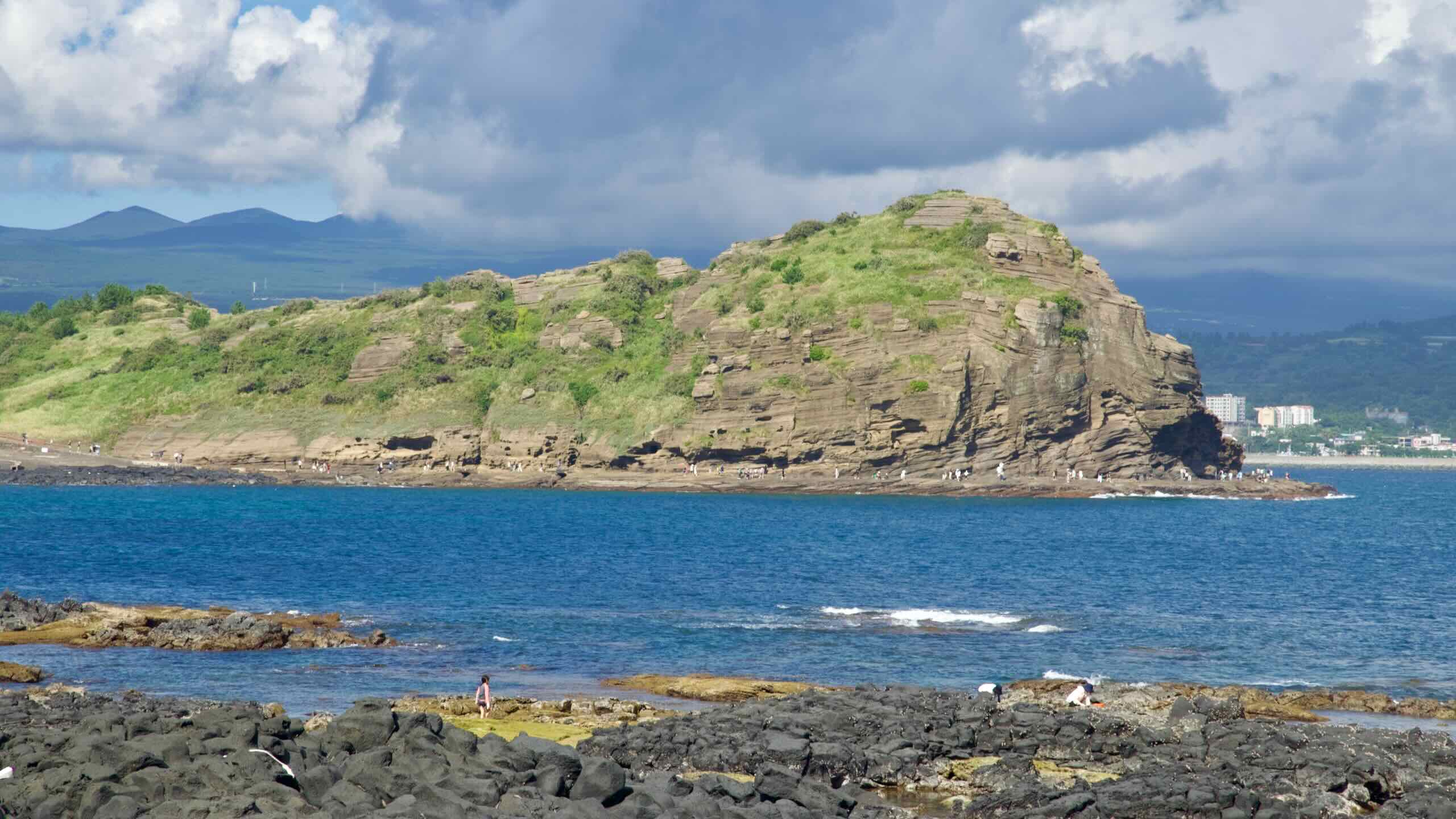
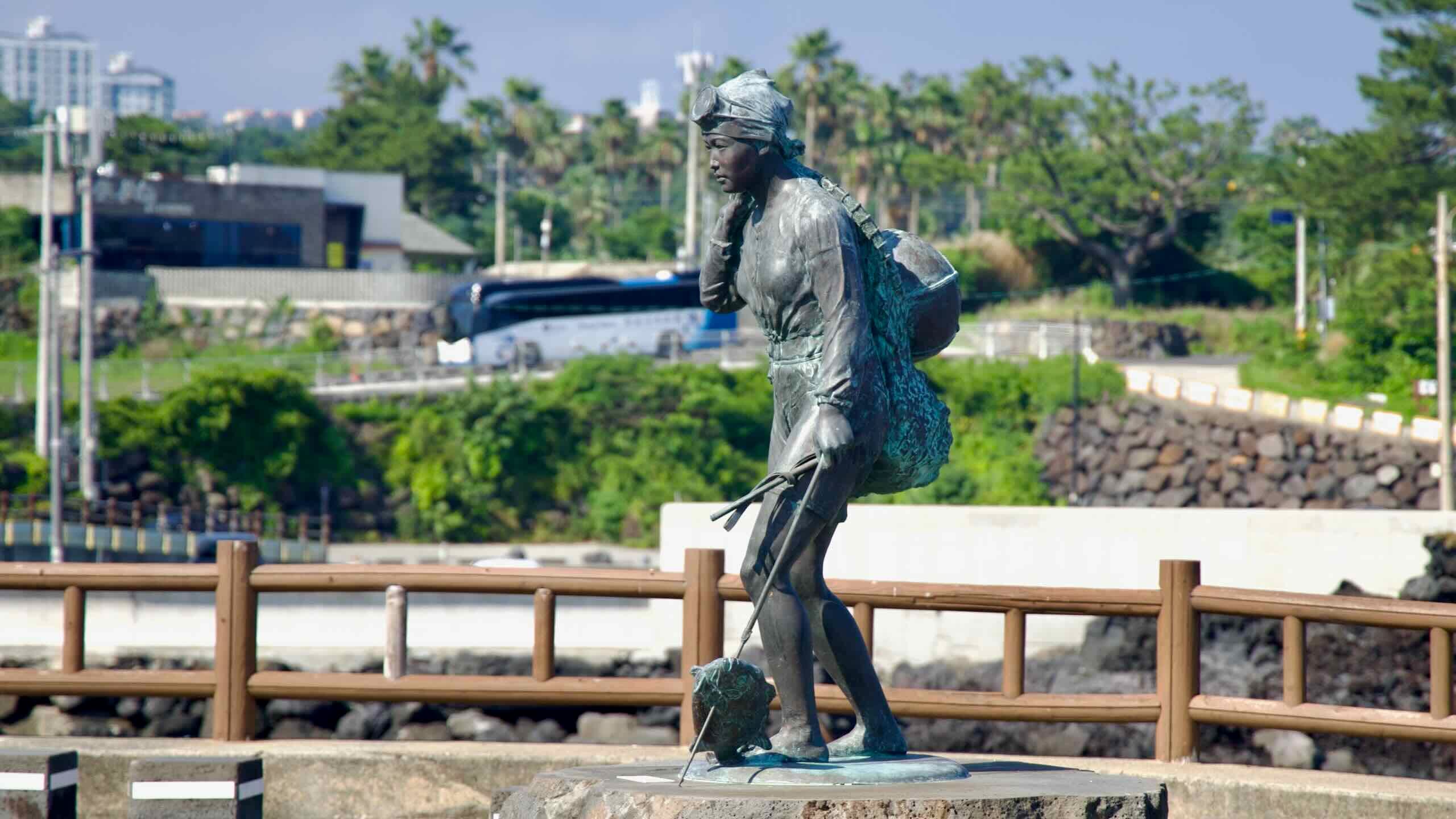
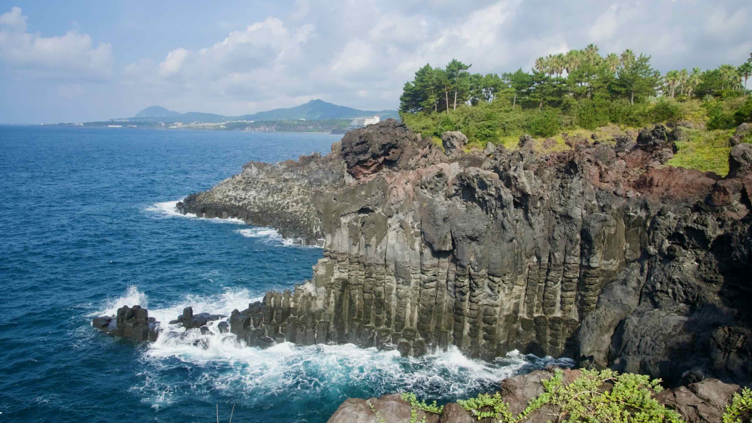
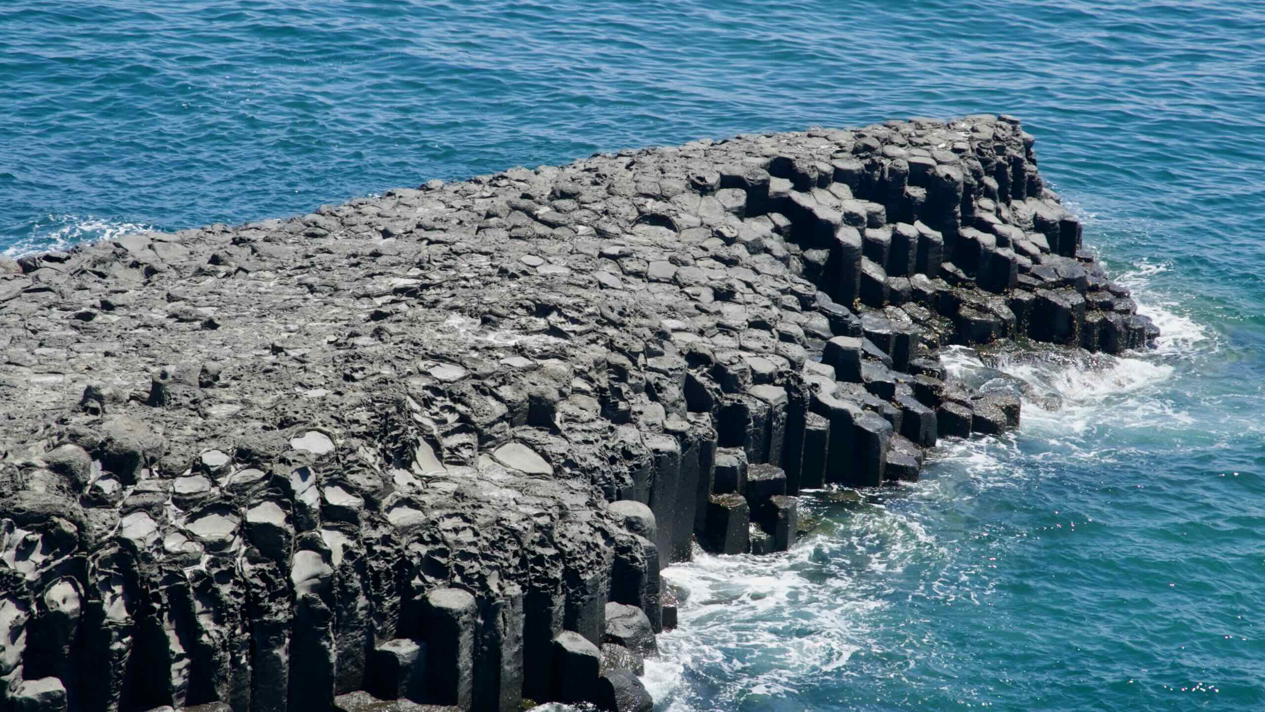
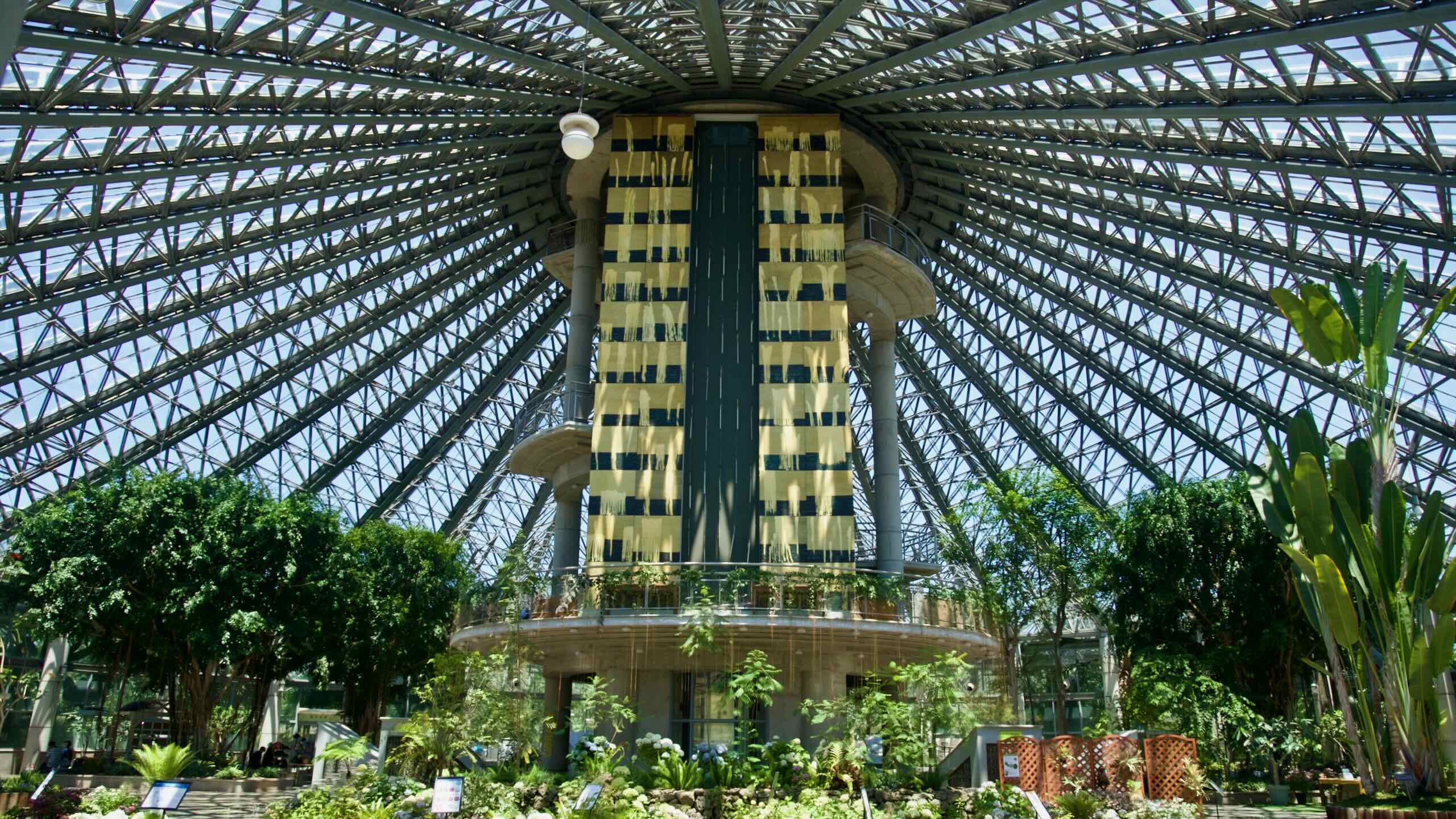
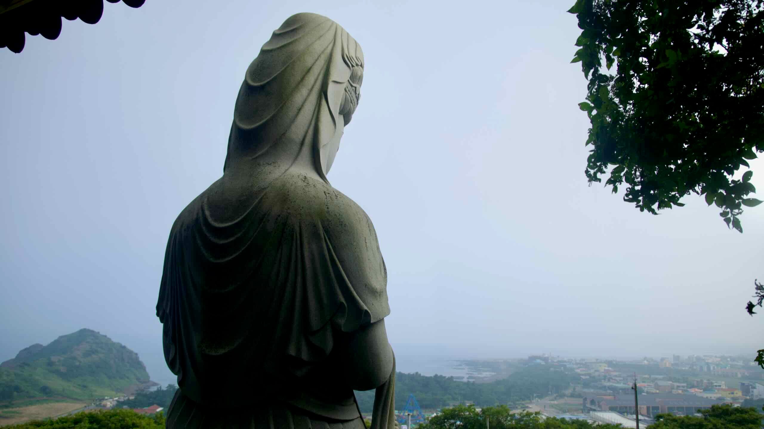
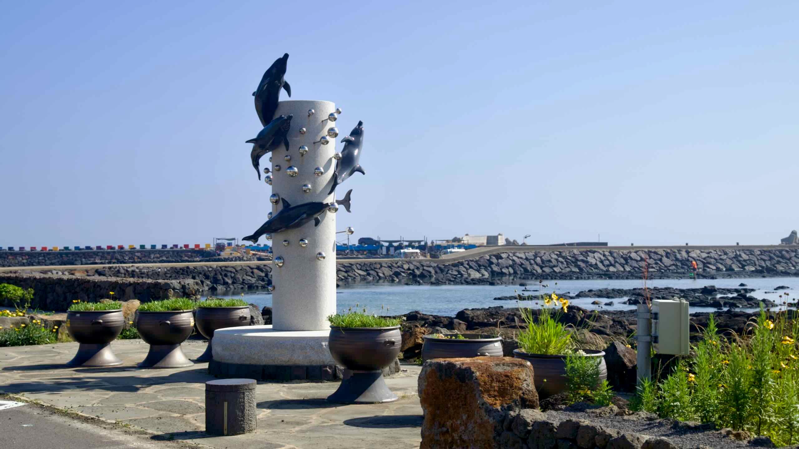
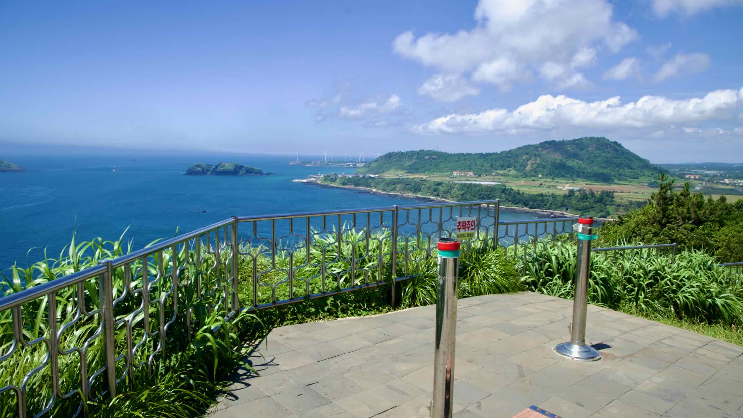
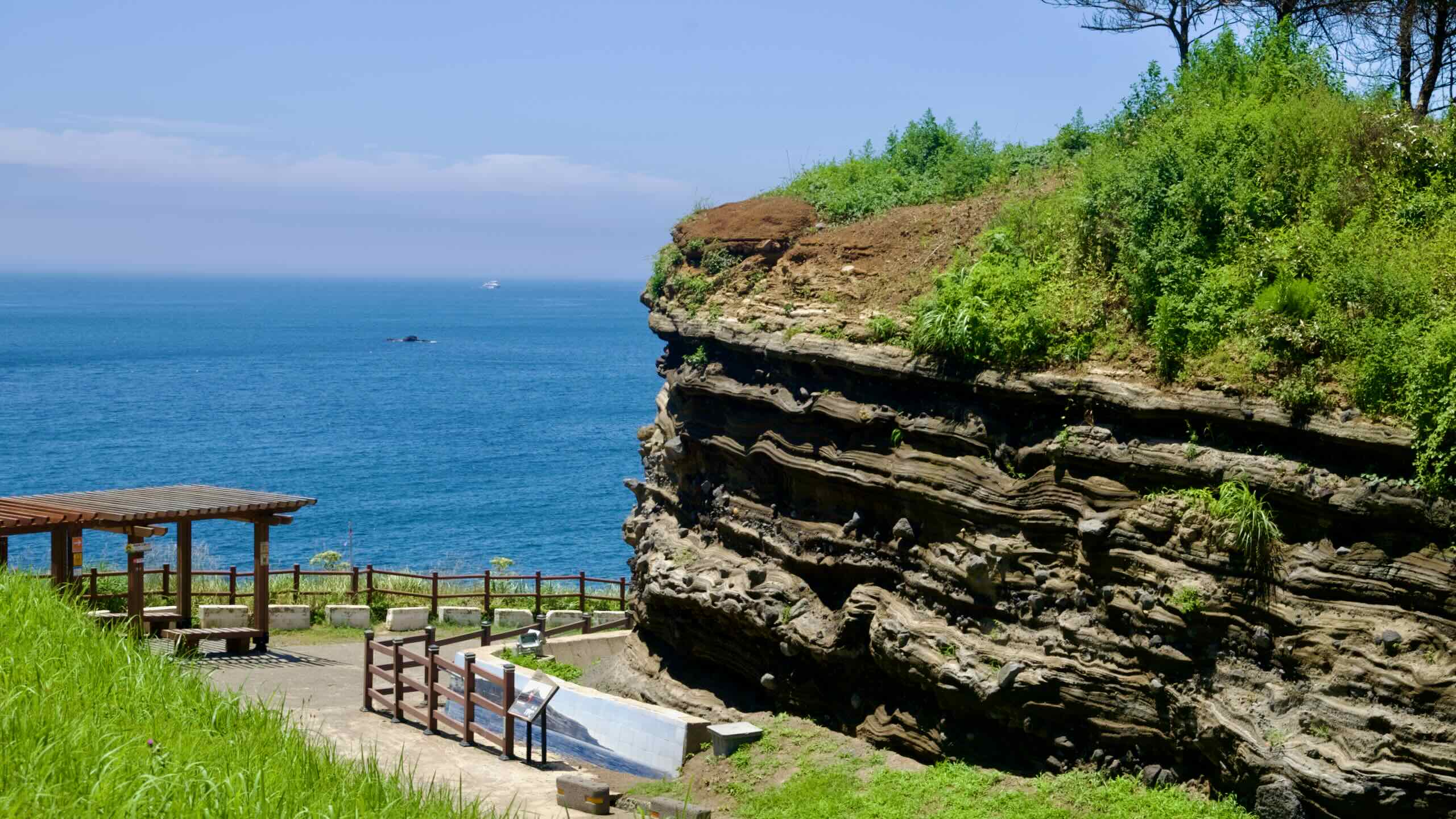
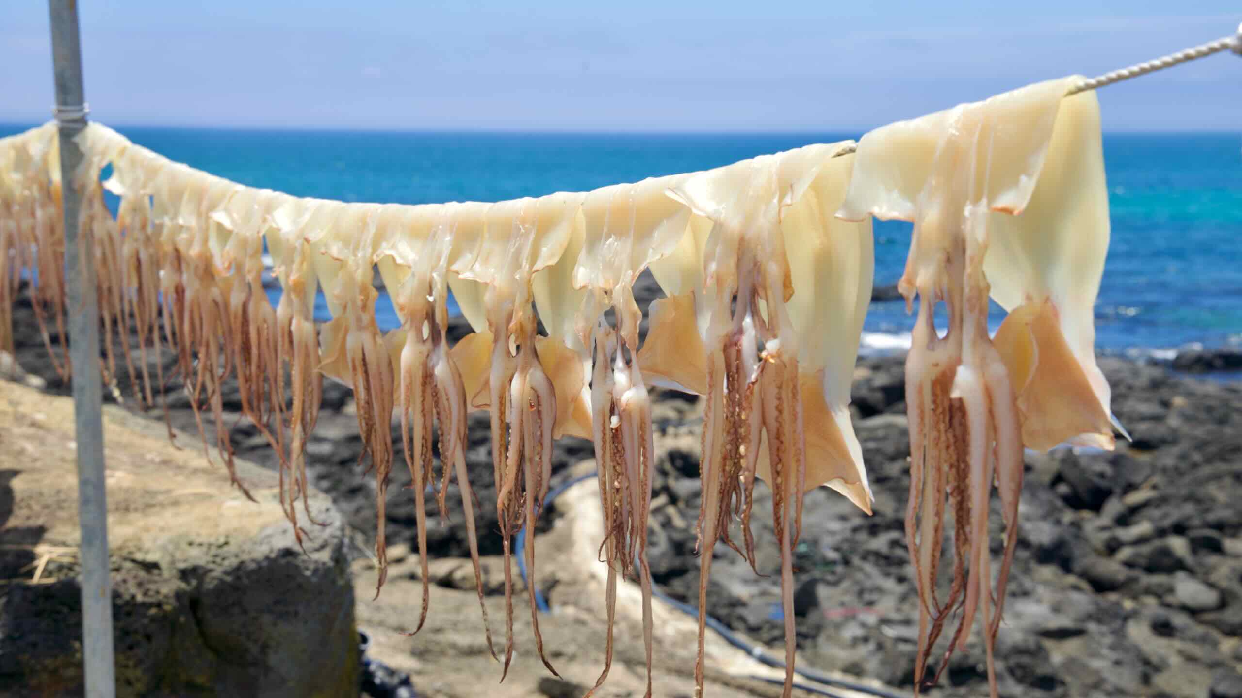
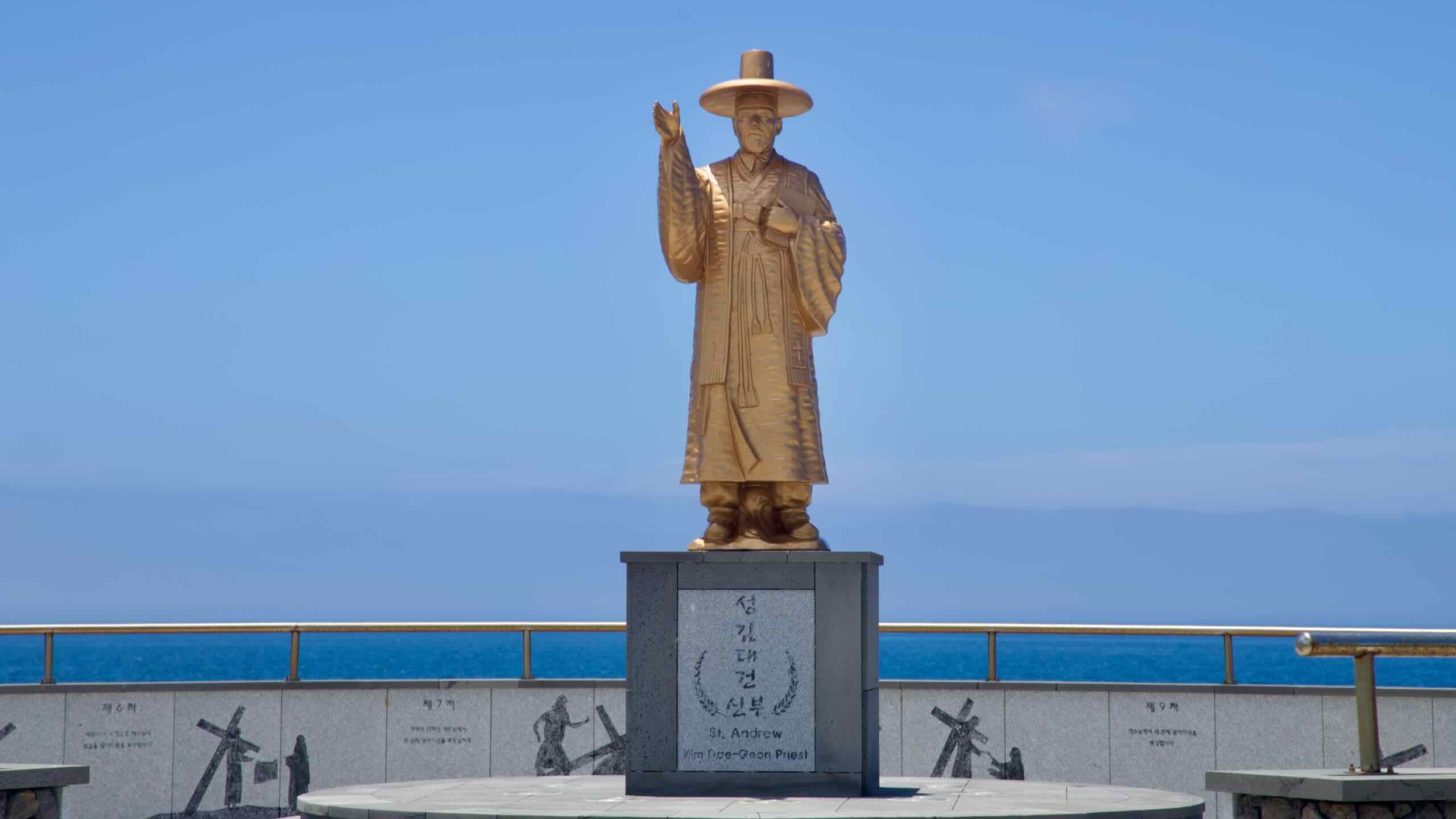
- Jeju Fantasy Bike Path — A multi-day loop around Jeju Island.
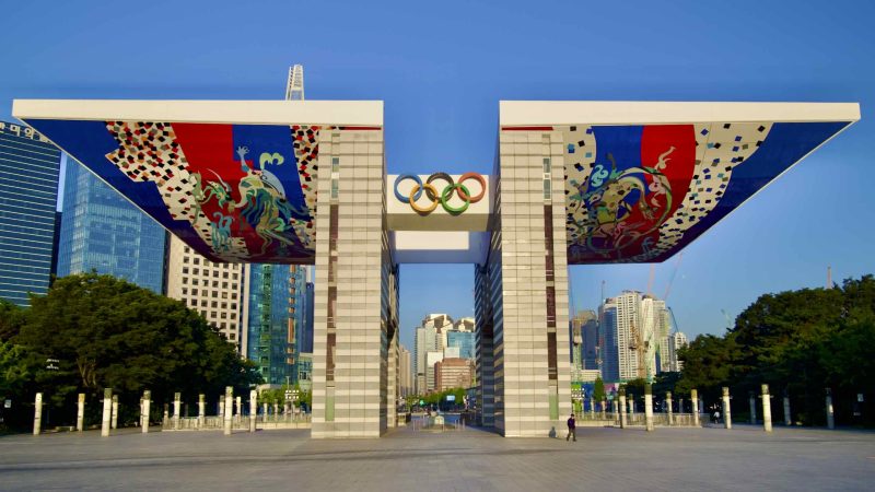
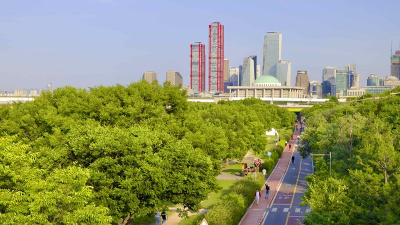
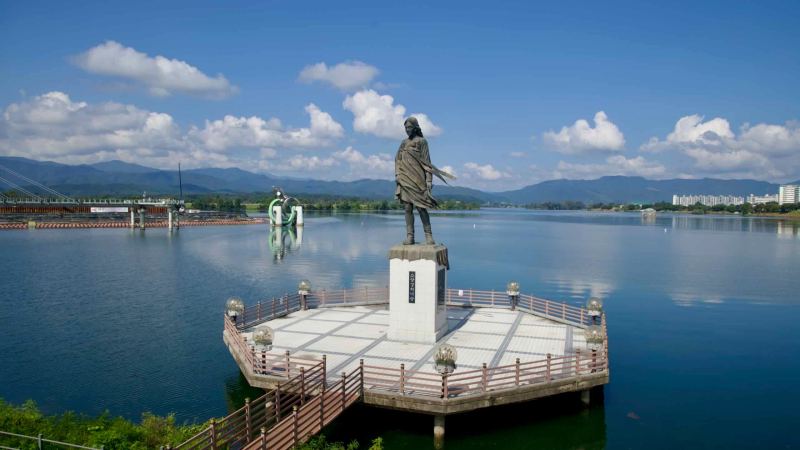
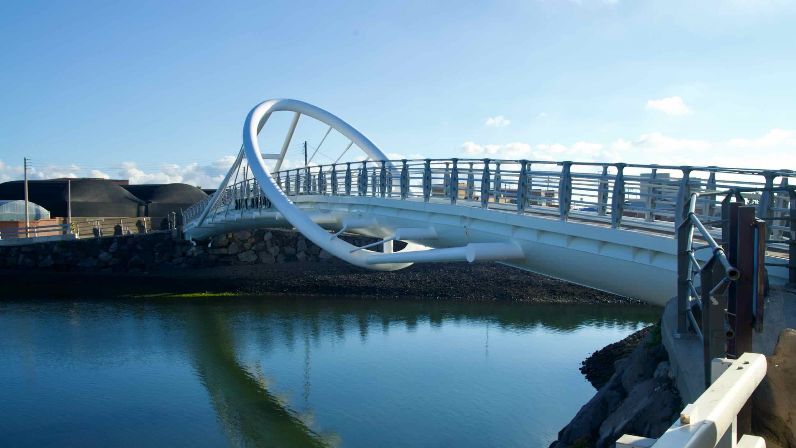
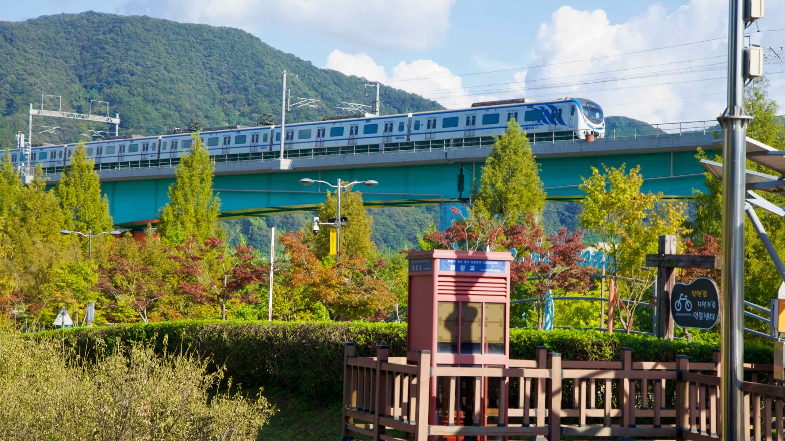
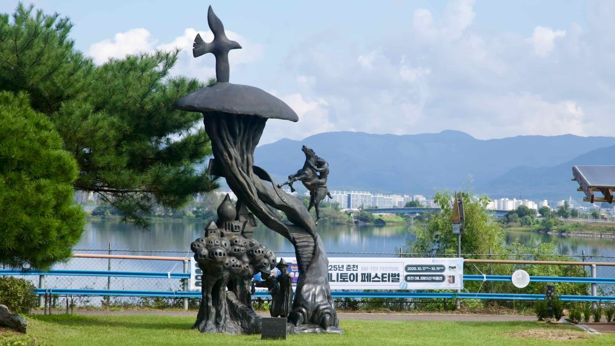
- Bukhangang Bike Path — A short ride between Seoul’s edge and Chuncheon City.
- East Coast Route (Part 2) — Continues the East Coast ride from Yeongdeok County down to Busan.
- Taehwagang Bicycle Path — A compact urban river route in Ulsan.
These bike paths encompass a wide range of landscapes and riding conditions, from coastal roads to bike-only lanes in riverside parks. Let’s look closer at each.