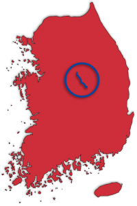
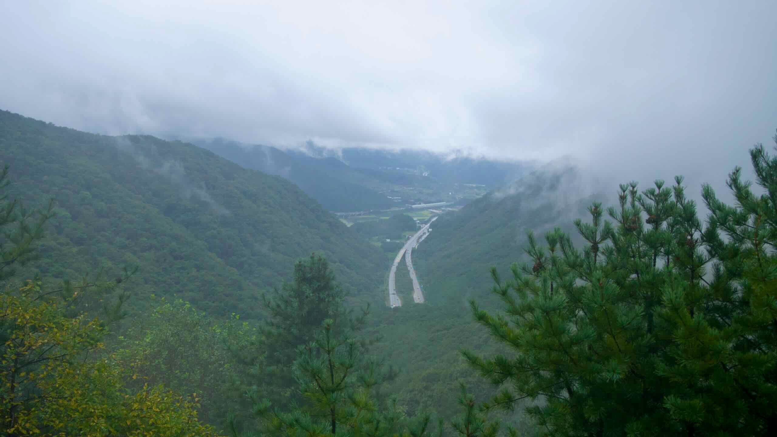
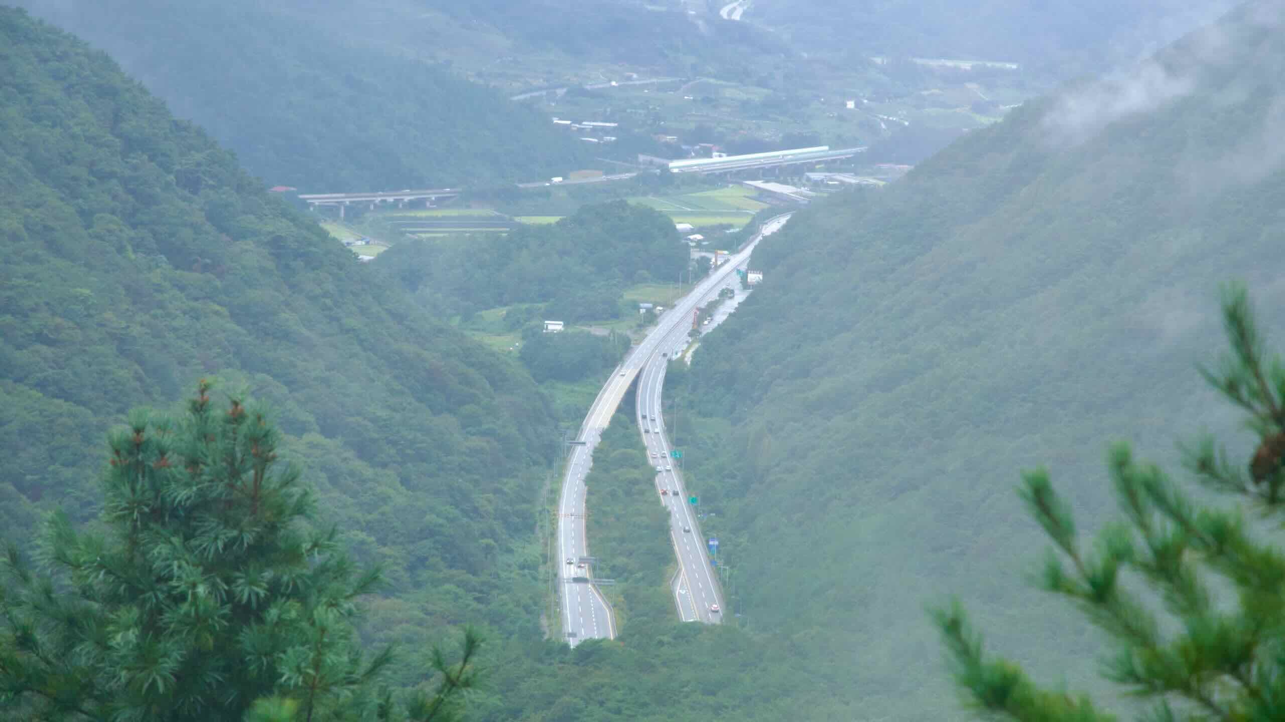
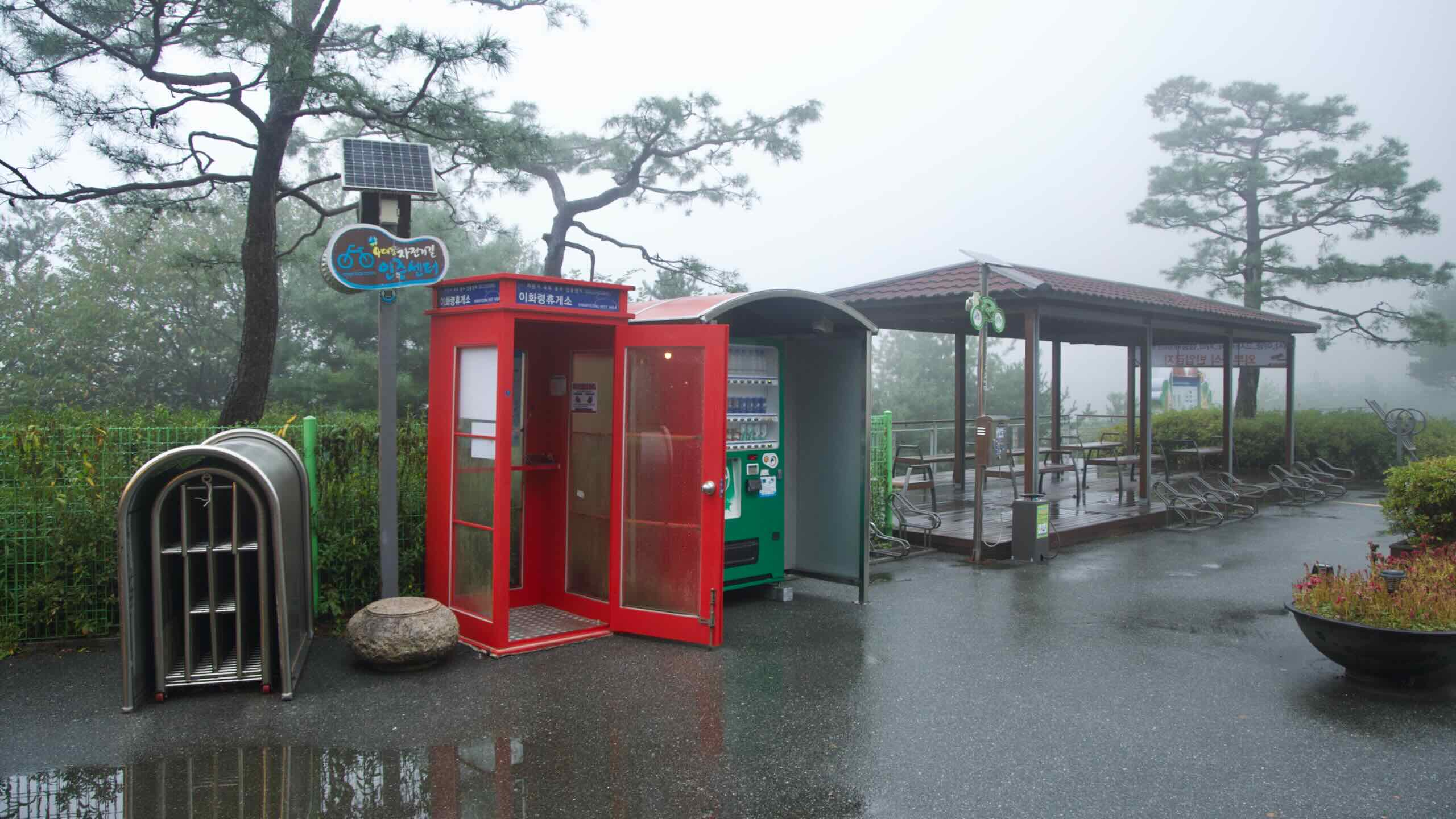
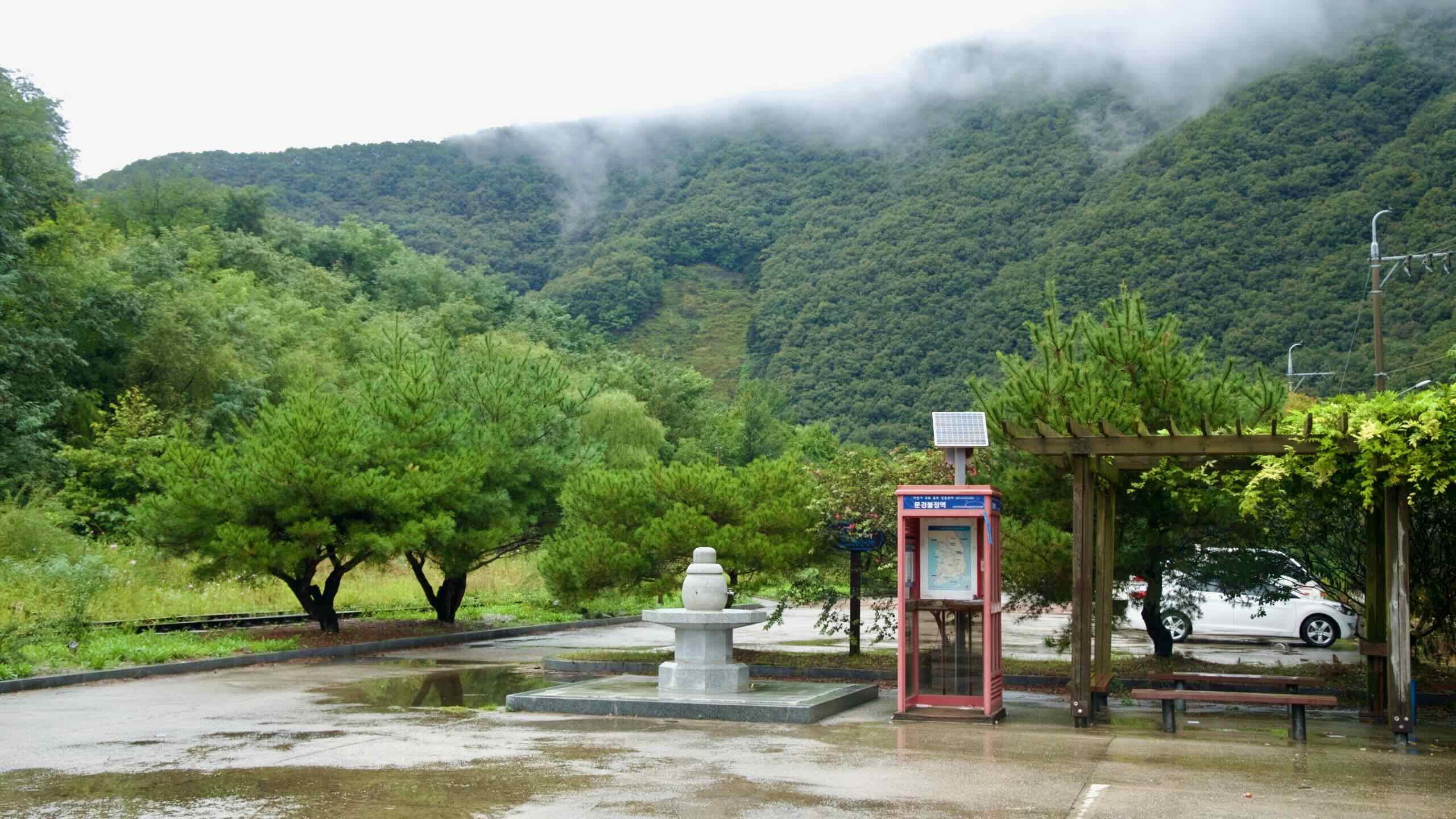
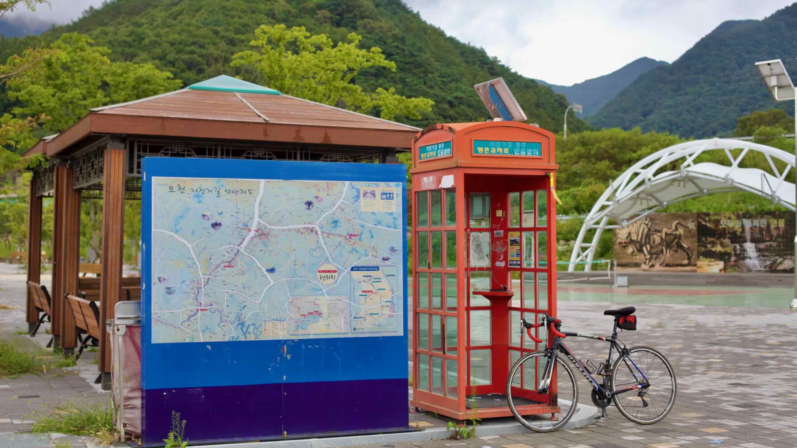
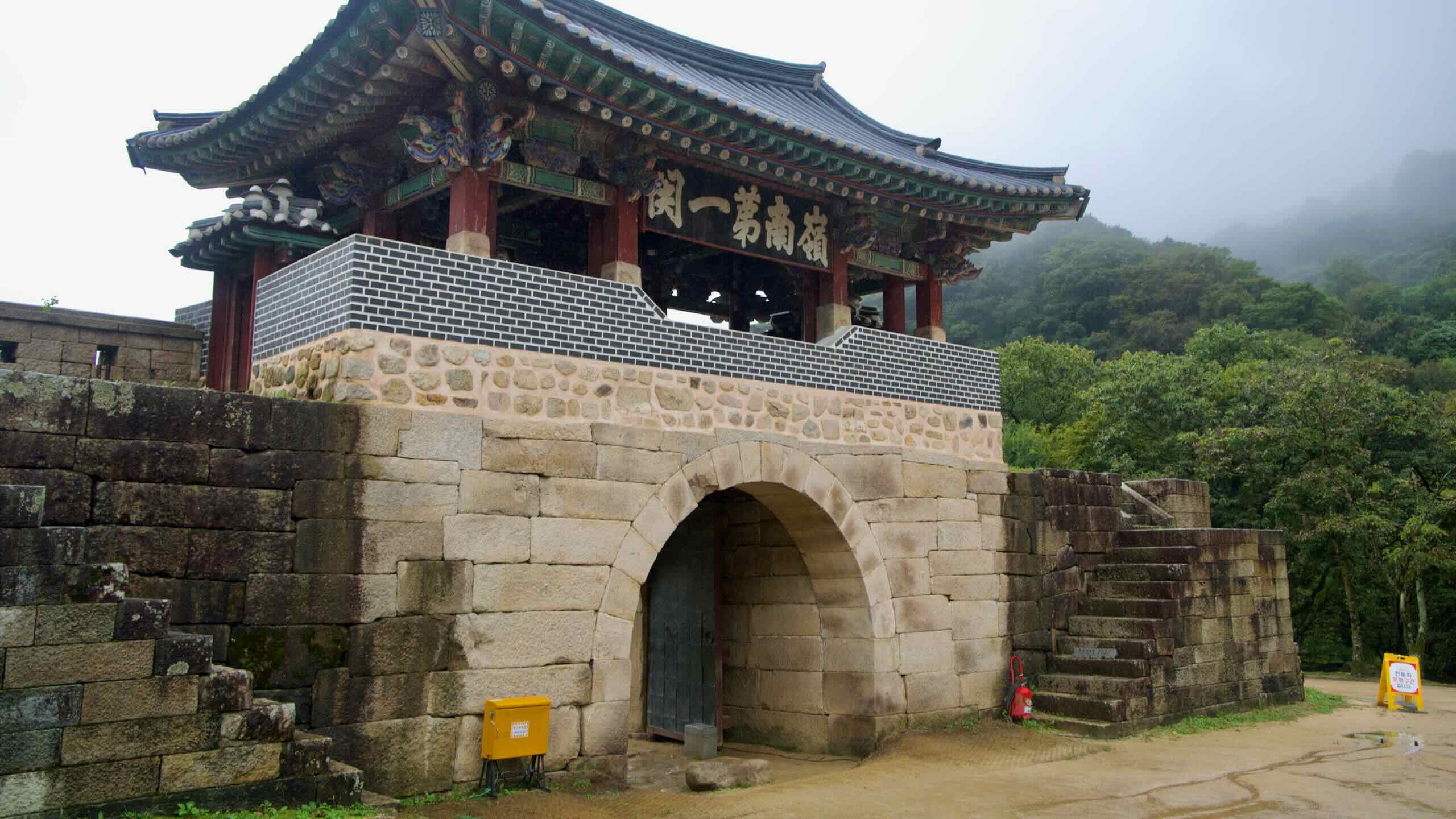
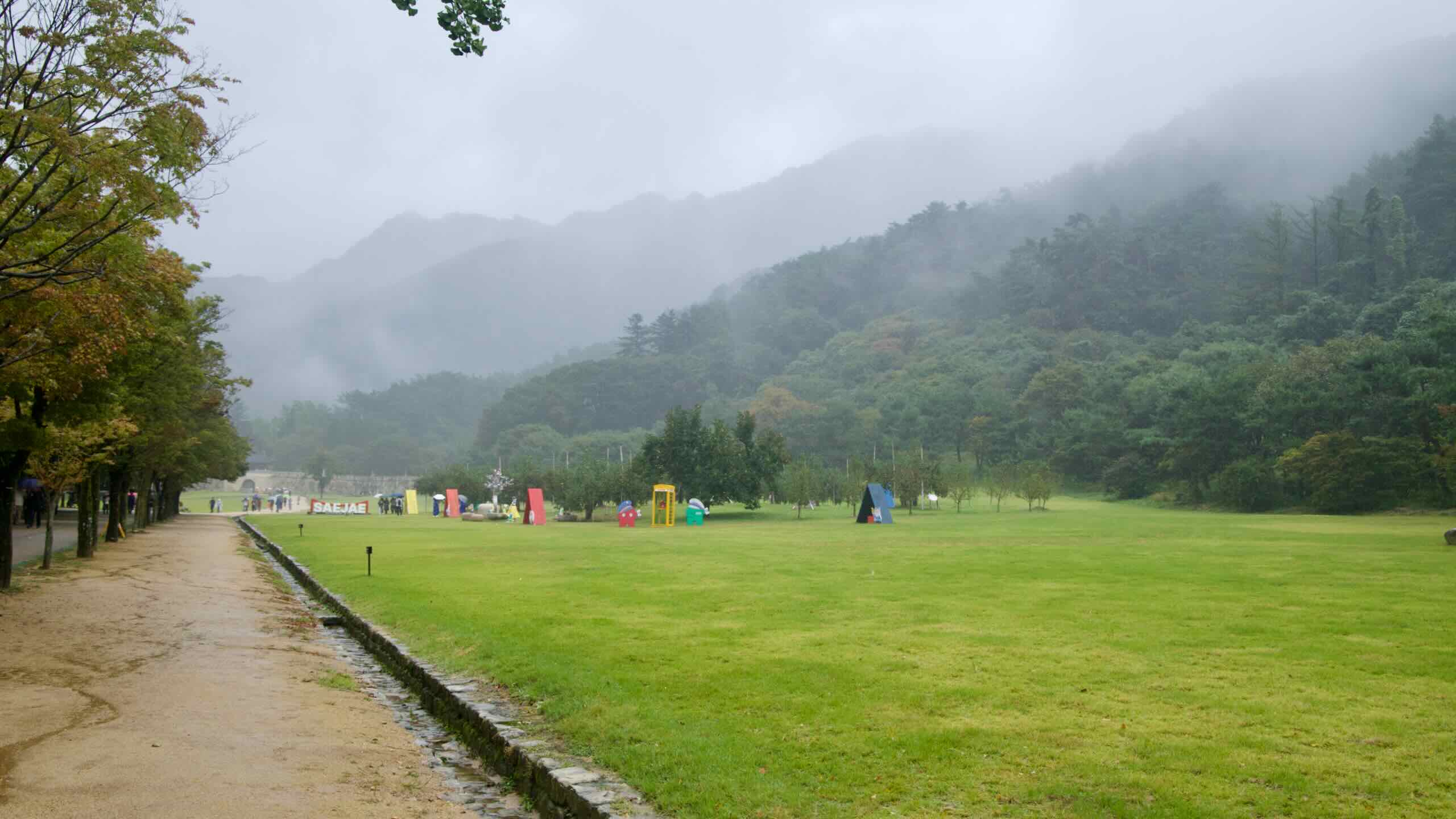
The Sobaek Mountain Range cuts across South Korea’s midsection, geographically severing the lower part of the peninsula. Before tunnel boring machines and highways, the only way south was to ascend the Sobaek Mountains.
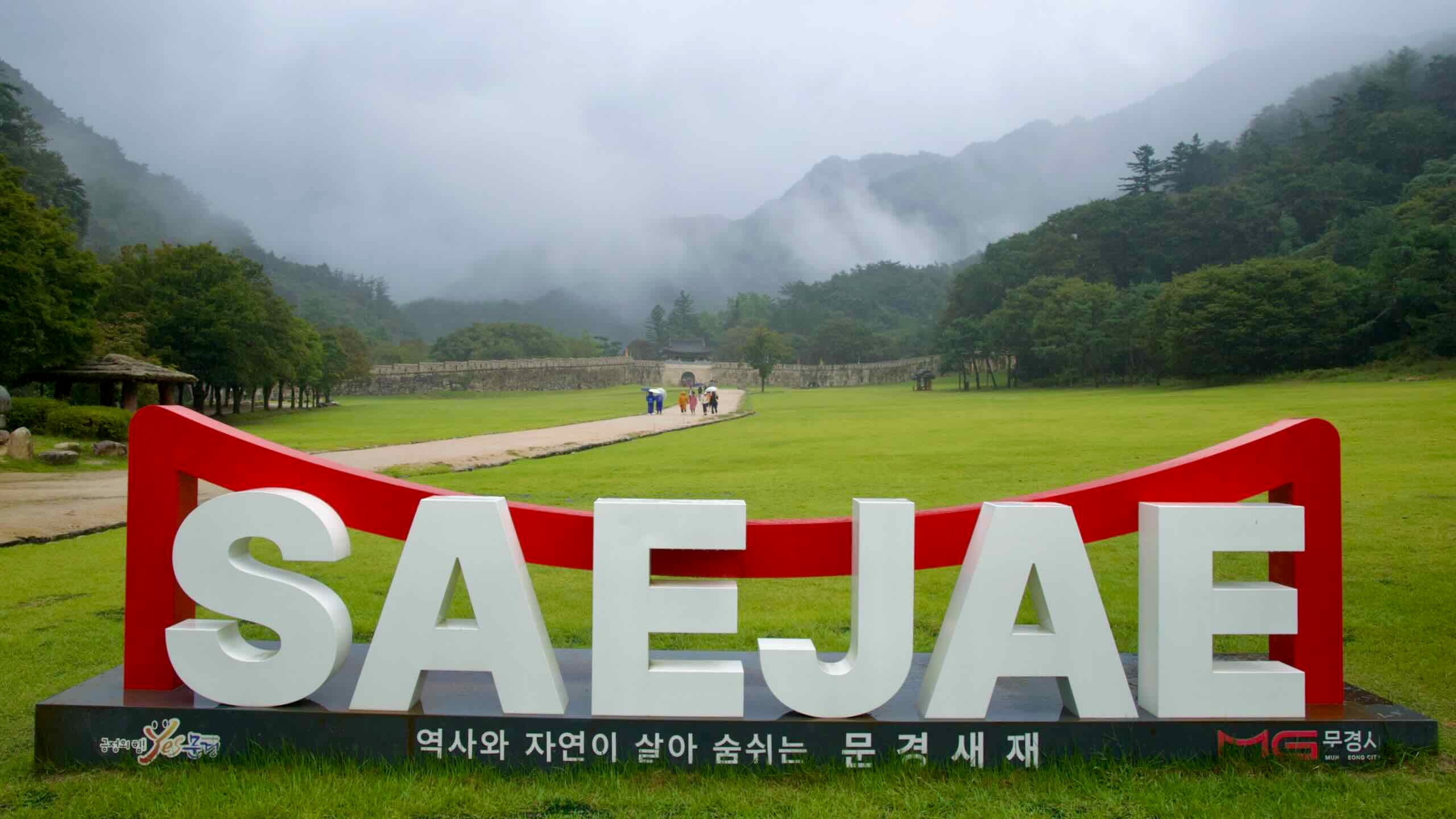
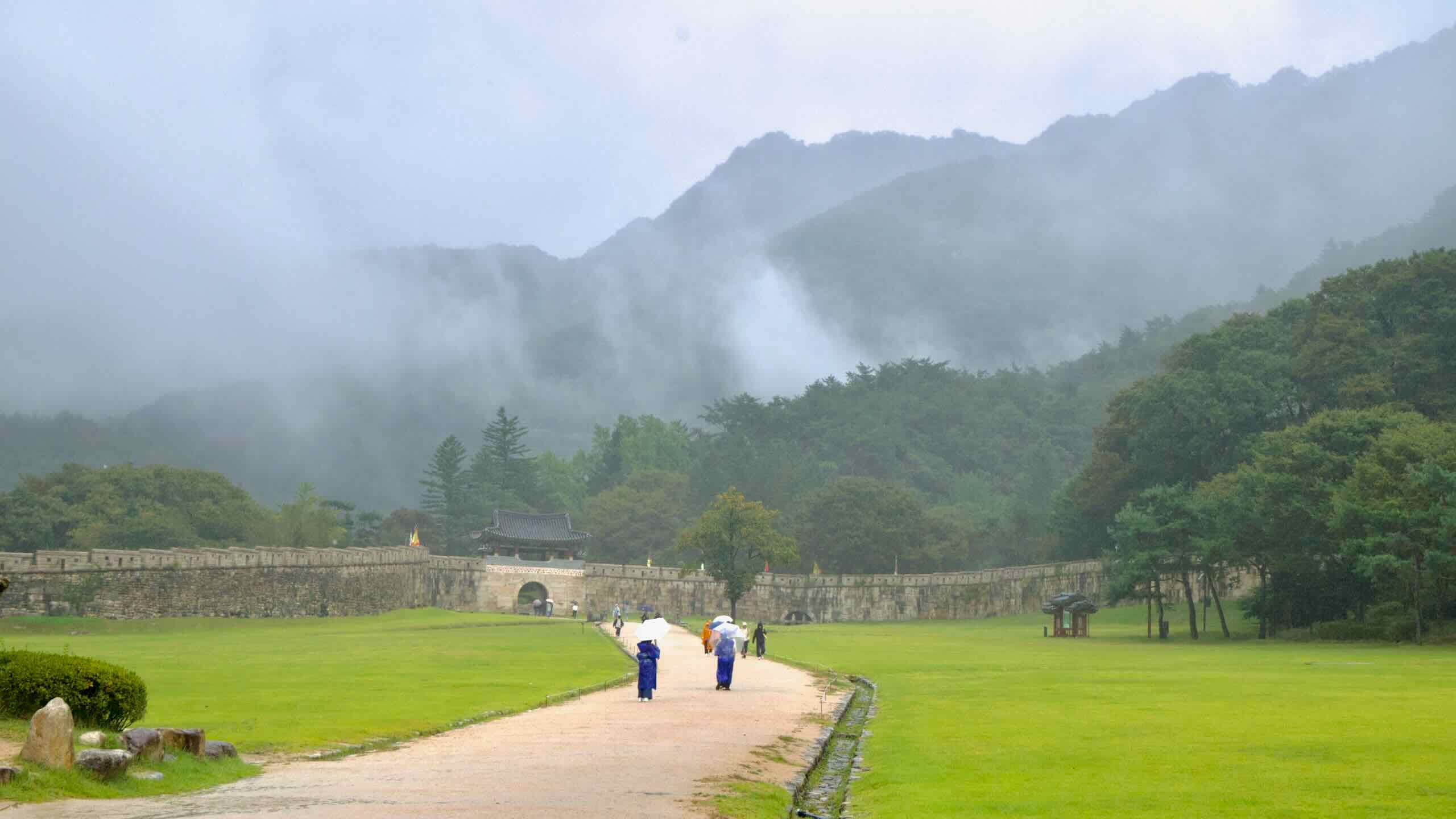
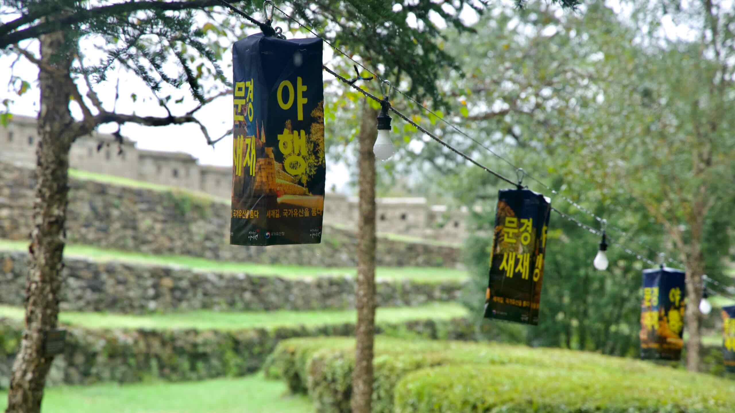
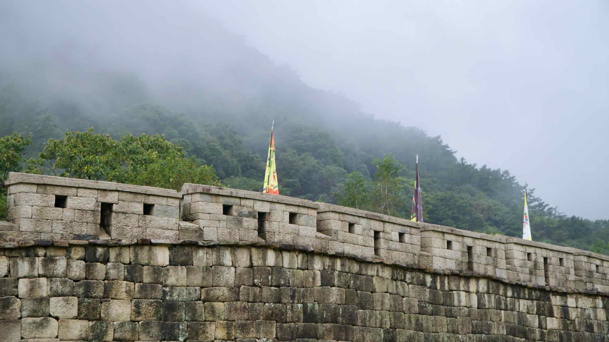
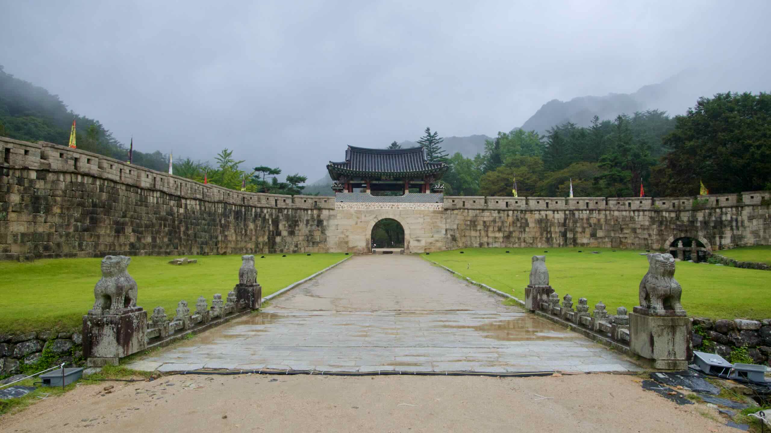
The Mungyeong Saejae Passwas the most accessible route through the mountain range. But it was the tallest and most treacherous part of the Great Yeongnam Road. The name “Saejae Pass” (새재) translates to, “a pass so high even birds cannot cross.”
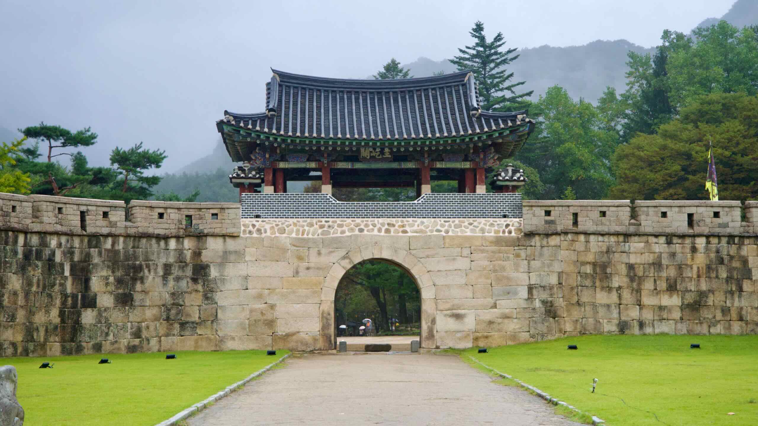
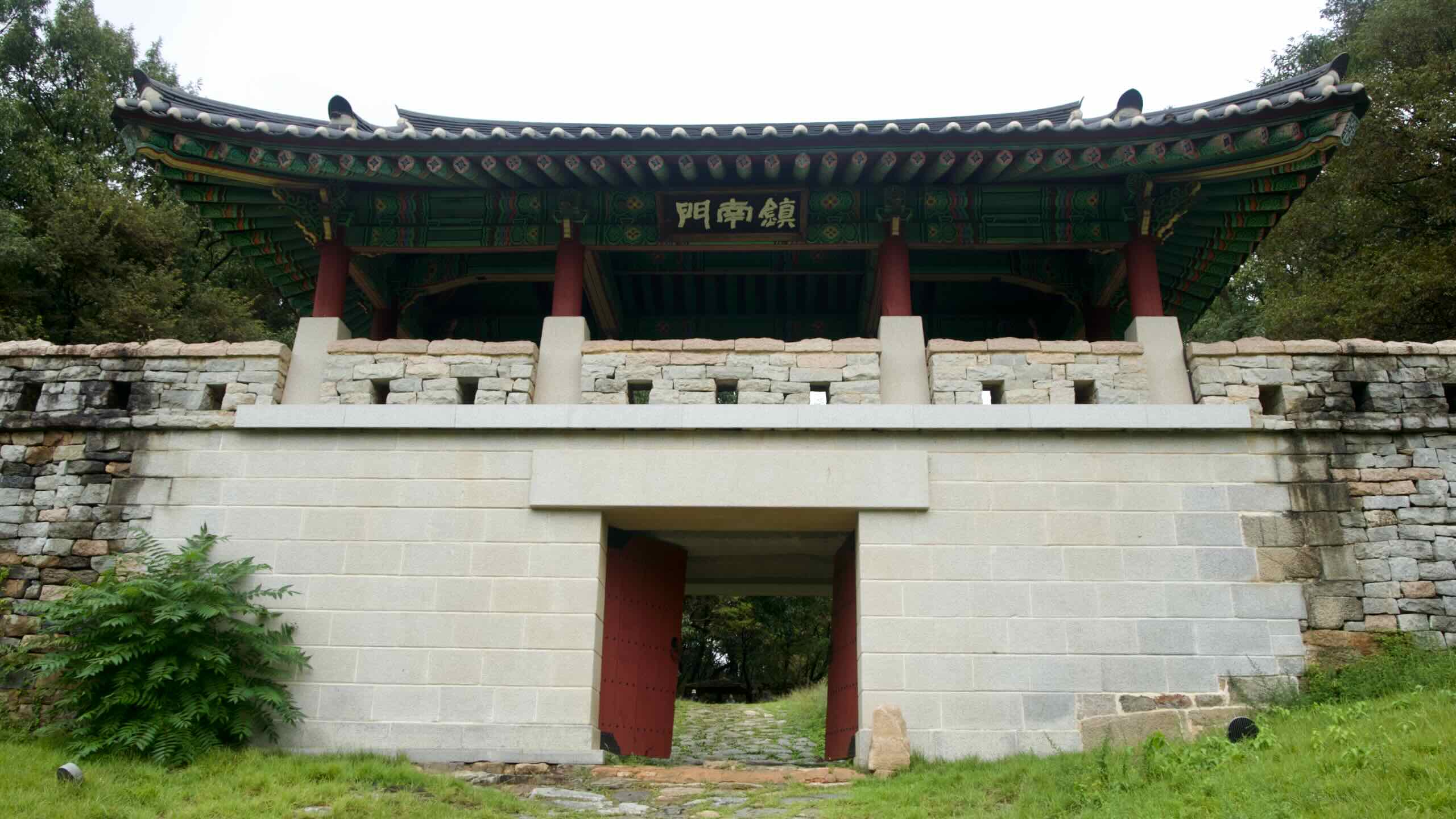
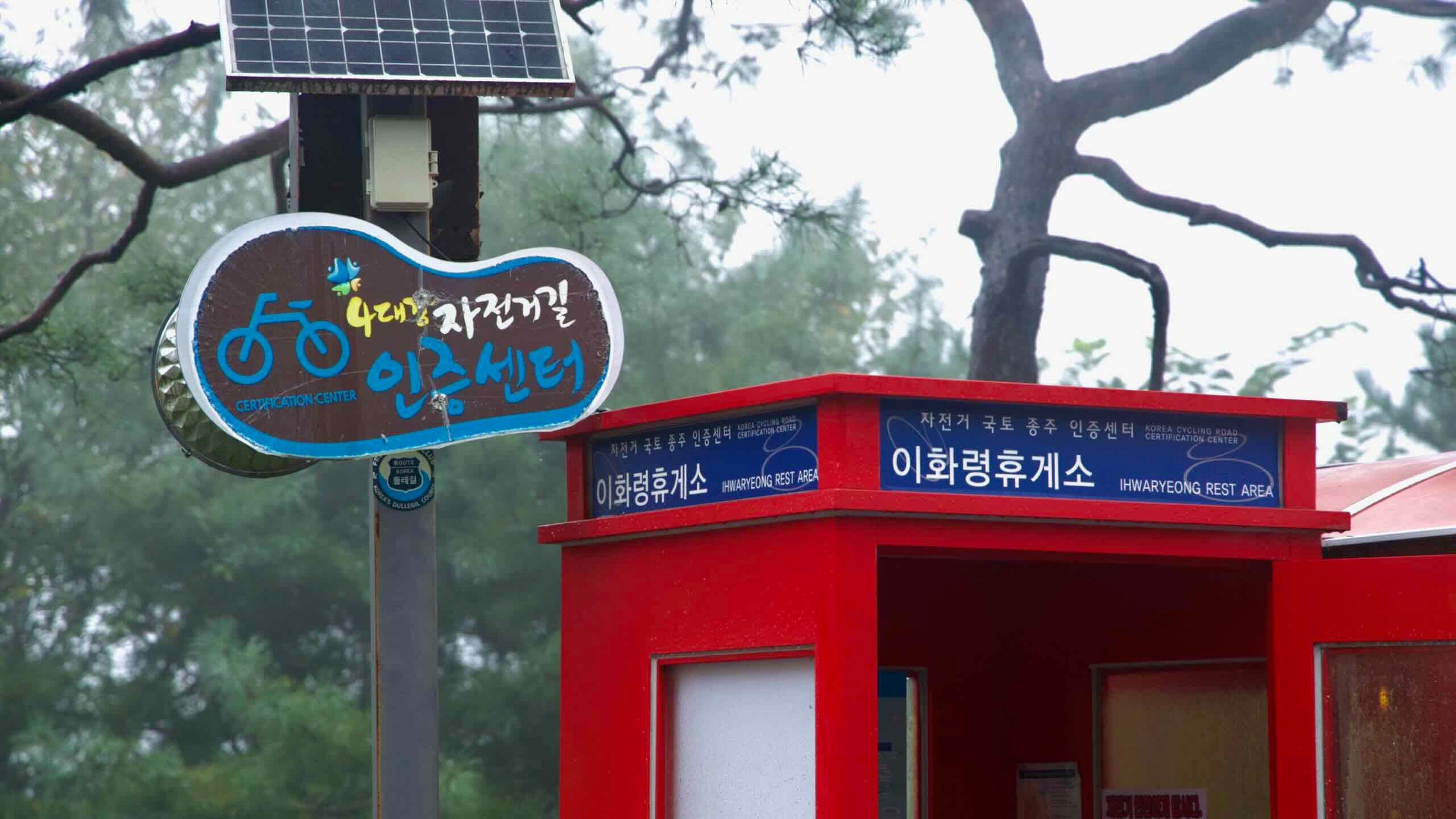
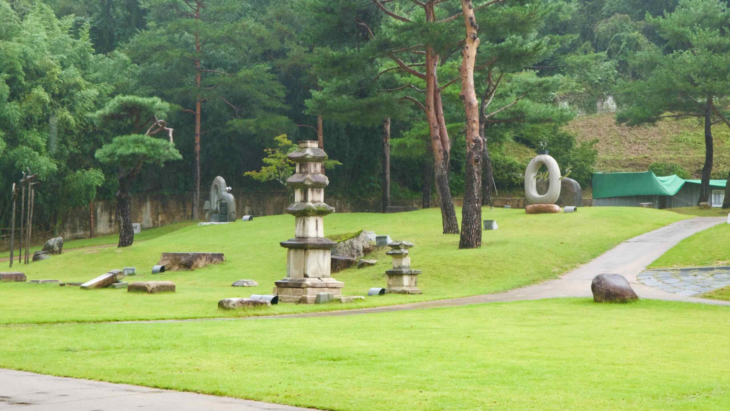
(The Saejae Bike Path doesn’t cross the Mungyeong Saejae Pass, which is now a park with three historic gates. The bike path hops over the Sobaek Mountains at Ihwa Mountain Pass. The route, however, comes within kilometers of the Saejae Pass (directions).)
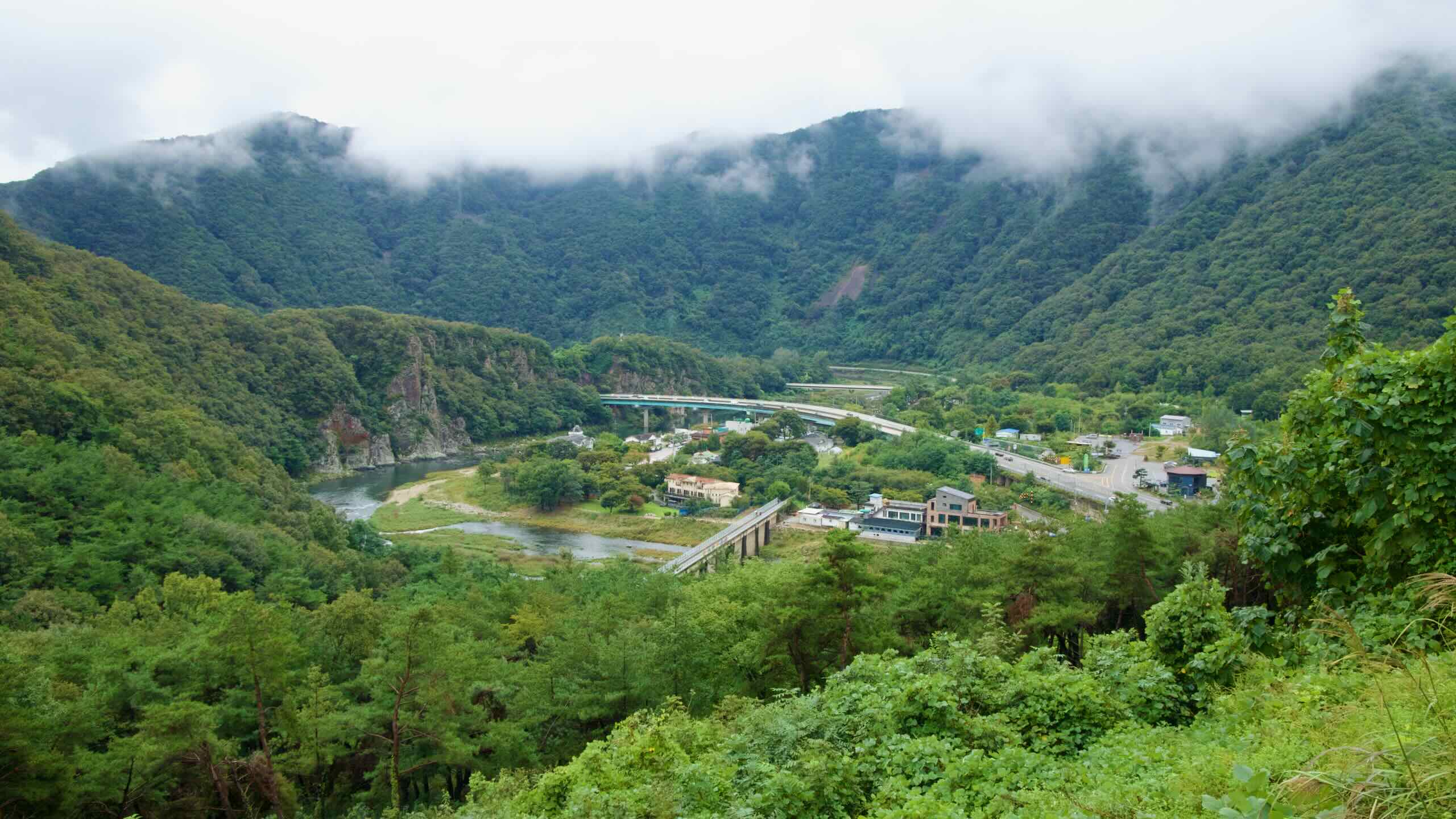
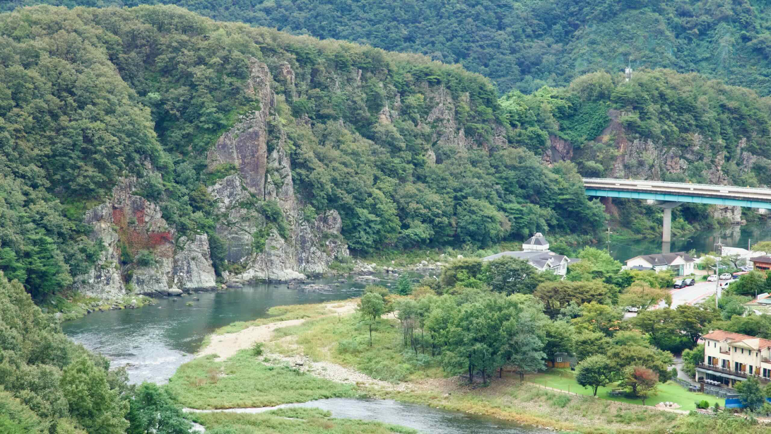
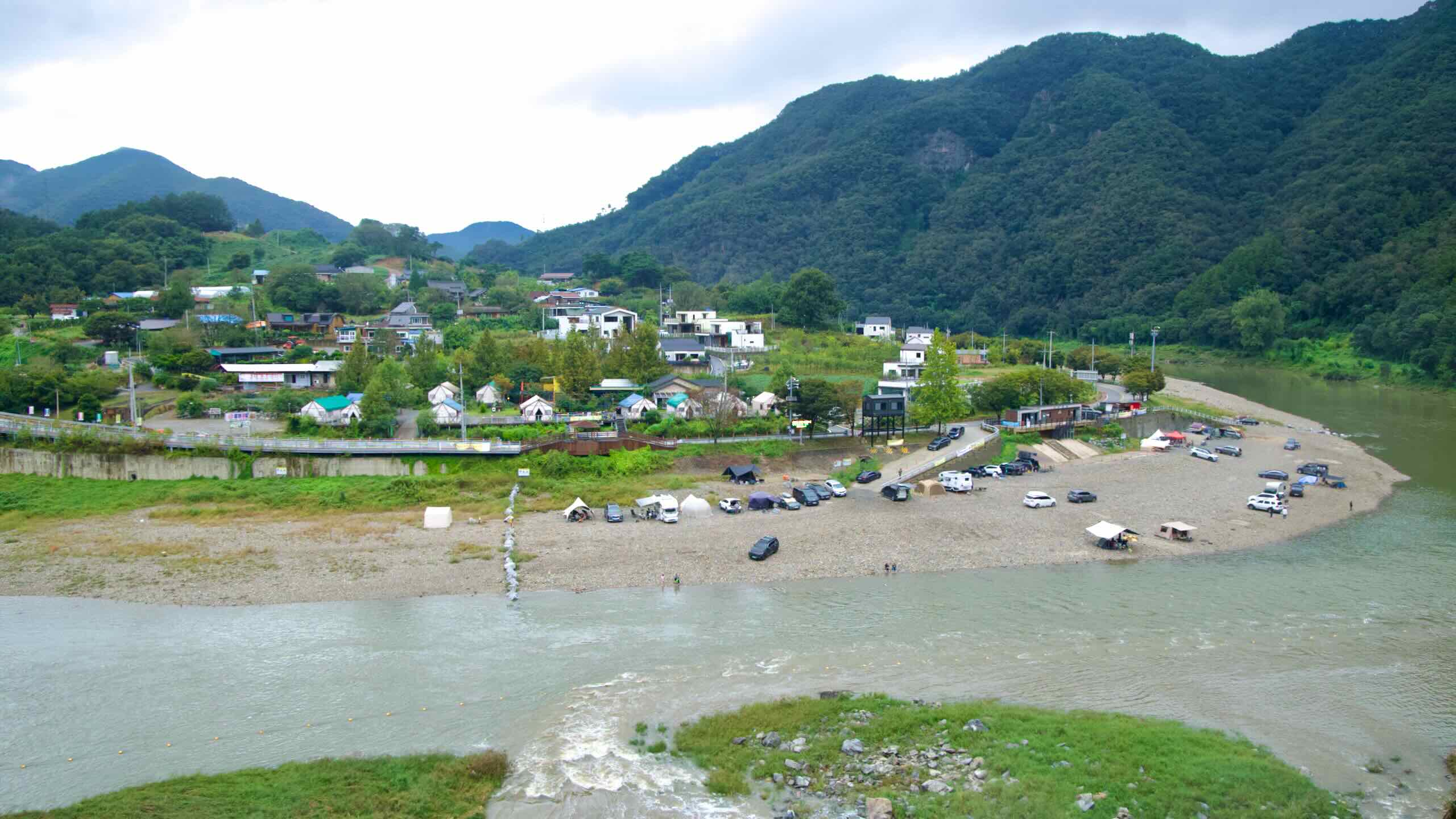
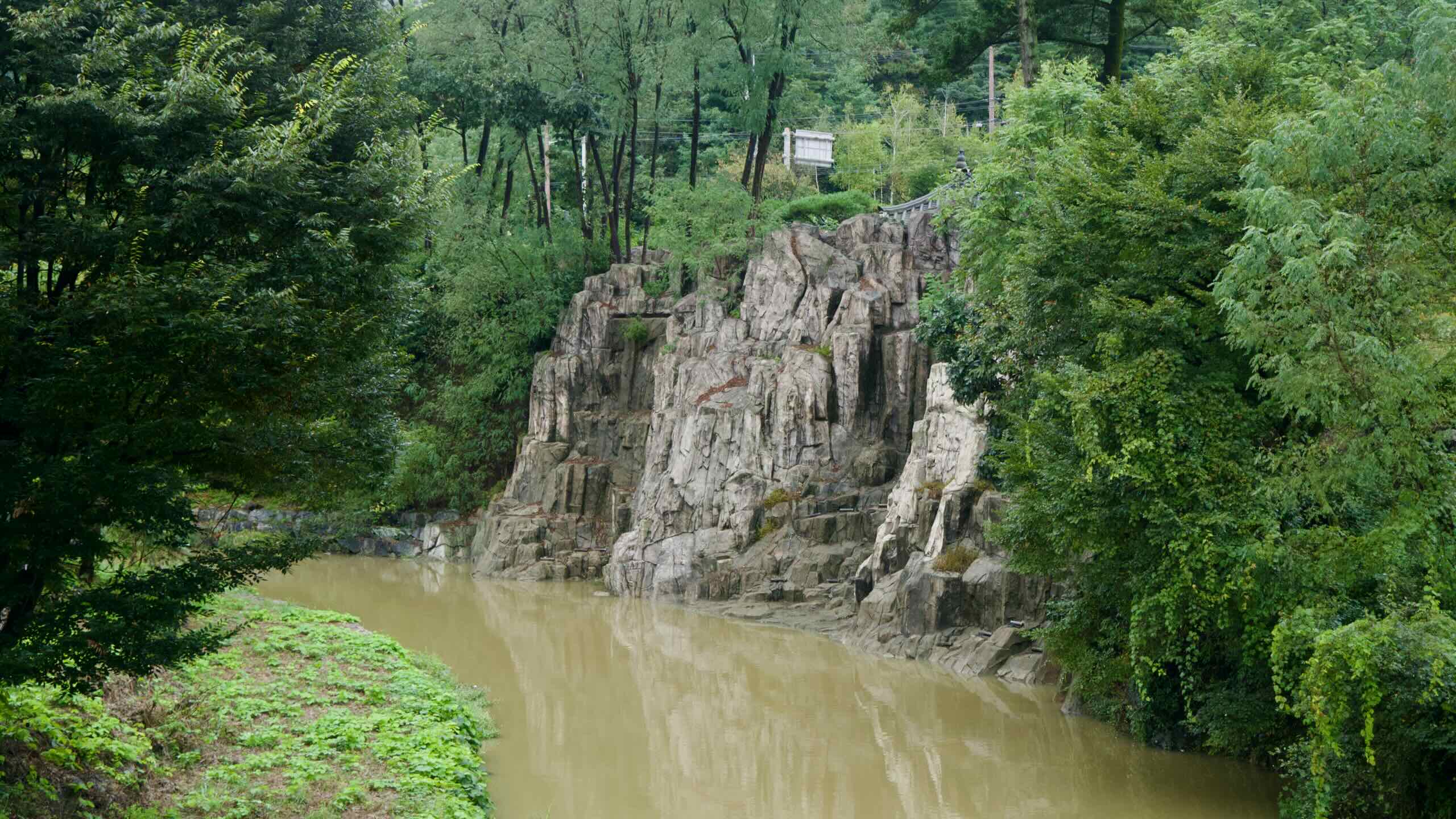
The bike path snakes through rock-faced valleys and along the Dal Stream (달천; map) and Seokmundong Stream (석문동천; map) as they trickle from the Sobaek mountaintops.
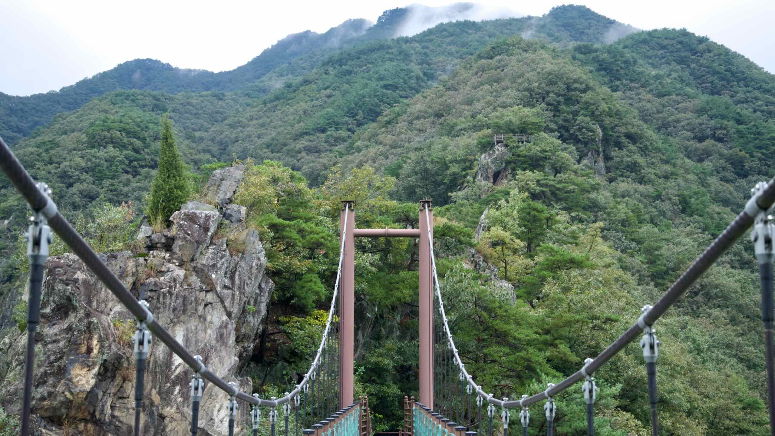
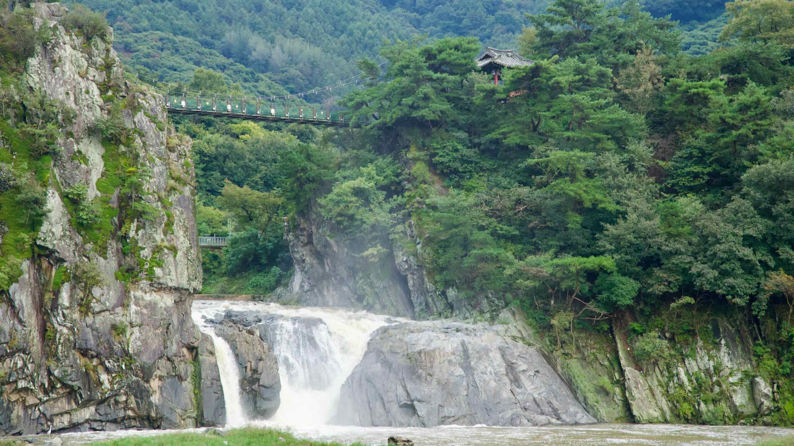
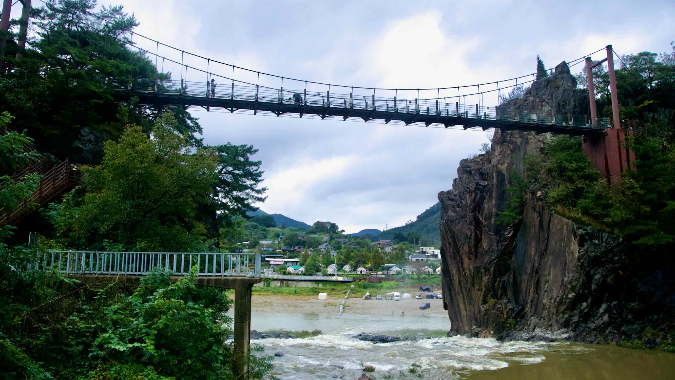
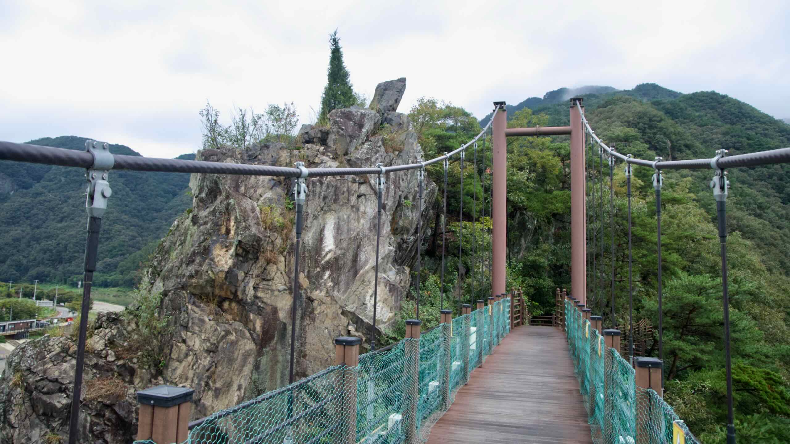
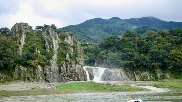
Just outside of downtown Chungju City, ride by Sujupalbong Peak (수주팔봉; map), a rock wall lined with spires and punctuated by a short waterfall and suspension bridge.
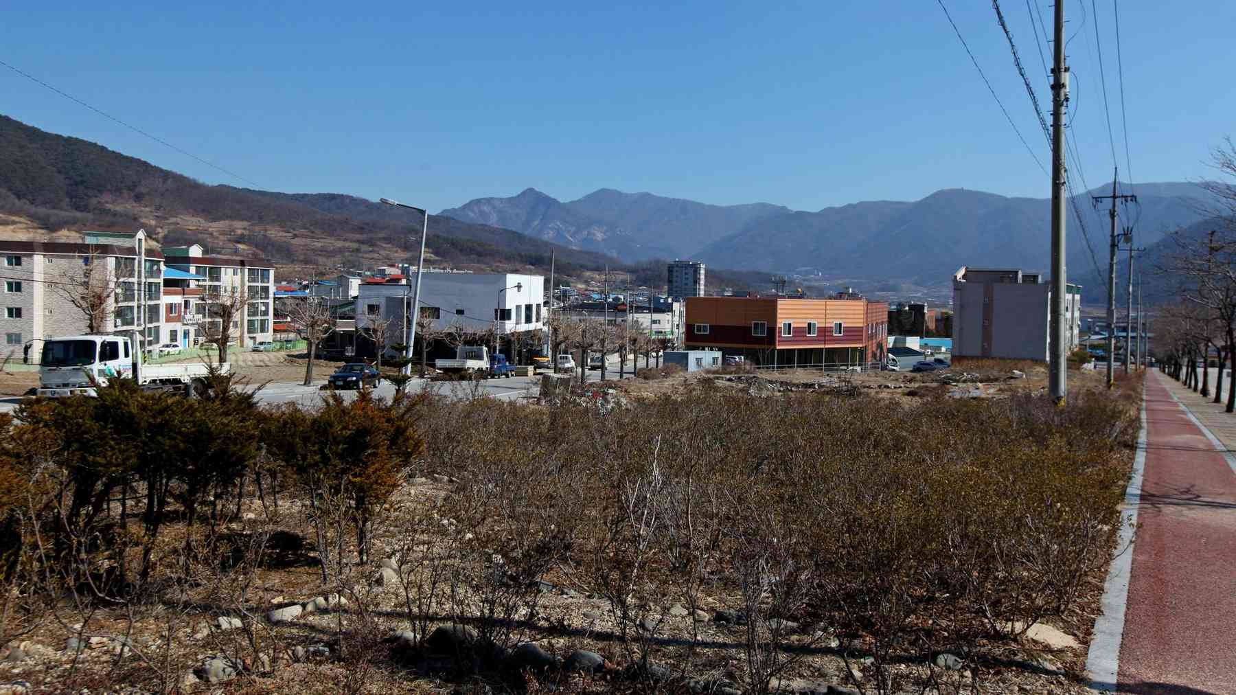
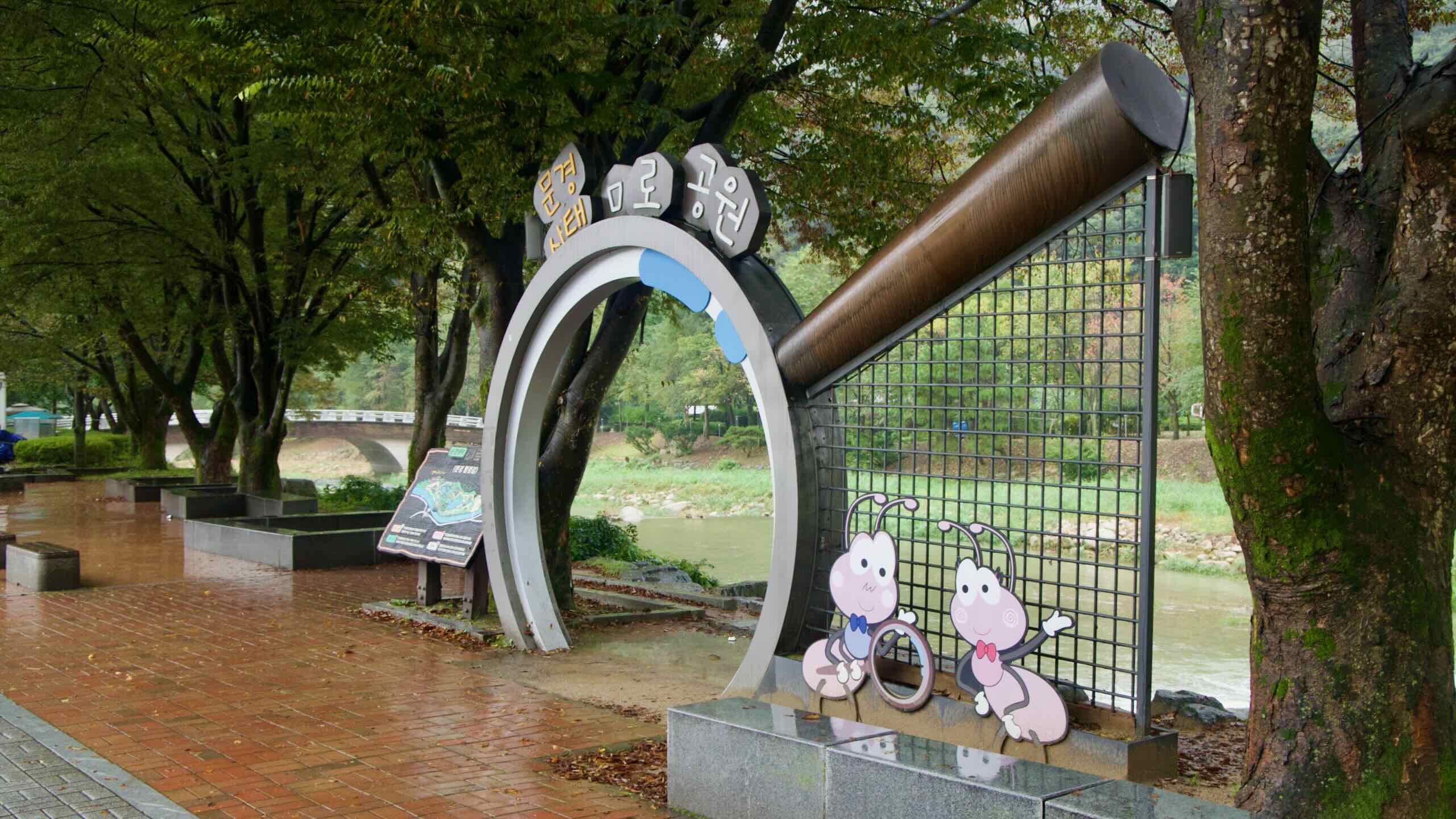
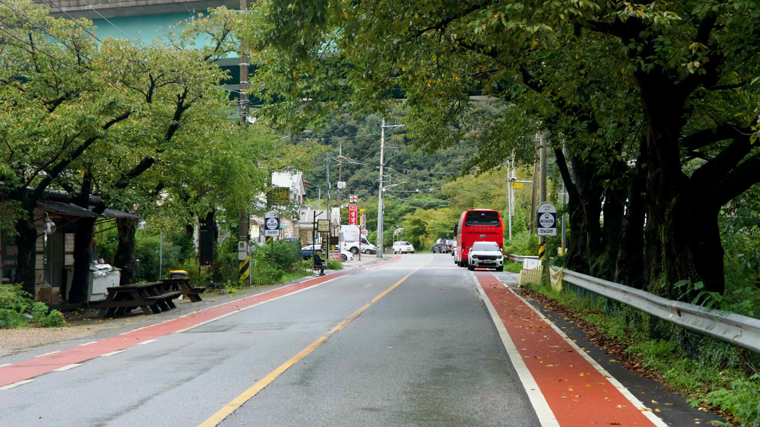
Follow the Joryeong Stream (조령천; map) through Mungyeong Town (문경읍; map) This small settlement holds restaurants and a motel or two. But it isn’t Mungyeong City’s main downtown.
Soon after, ride by the Jeomchon Neighborhoods (점촌; map). They form Mungyeong City’s main population center and the southernmost major settlement on the Saejae Bike Path. Here find motels, restaurants, a train station, and an intercity bus terminal.
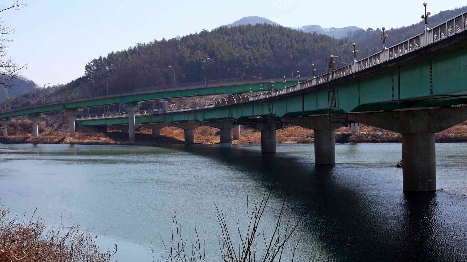
From Jeomchon, the bike path continues for another 20 kilometers along the Yeong River until it spills into the Nakdong River (낙동강; map).
Read these breakdowns of the provinces and municipalities along the Saejae Bicycle Path.
North Chungcheong Province (충청북도; map) is Korea’s only landlocked province. Before tunnel boring machines and airplanes, the Sobaek Mountain Range, which cuts across the province’s midsection, formed separated warring kingdoms. North Chungcheong holds ancient forts and battle sites among its peaks and national parks.
Chungju City (충주시; map) is half North Chungcheong Province’s namesake. The city once marked the center of the Korean kingdom and served as a major stop along the Great Yeongnam Road.
North Gyeongsang Province (경상북도; map) is one half of the old Gyeongsang Province. Its most famous city is Gyeongju. Known as Korea’s open-air museum, it was the capital of the peninsula under the Silla Dynasty (57 BCE ~ 935 CE). It claims countless ancient relics and museums. The nation’s largest province, the conservative North Gyeongsang birthed several famous leaders and scholars, like Yi Hwang (이황; on the ₩1,000 bill).
Mungyeong City (문경시; map) hosts the Mungyeong Saejae Pass. After the Korean War (1950 ~ 1953), miners extracted tons of coal from the city’s mountains. Now Mungyeong runs on tourism, with its alpine sights hosting hoards of sightseers.
Sangju City (상주시; map) was once a key settlement and transit hub during the Three Kingdoms period (57 BCE ~ 668 ACE). Today, after losing some of its population and fame, the city makes a living farming rice, persimmons, and silk. Sangju is also the most bike-friendly city in Korea. Its citizens embraced bicycles over a hundred years ago, and today they own the most bicycles per capita in the nation.
Are you traveling from north to south — Incheon to Busan? Start at 241 meters above sea level. Then cycle 3 kilometers to a 380-meter summit (directions).
Total Climb (north to south): a 139-meter climb over 2.3 km with a 6% average incline.
Approaching from the south — Incheon to Busan? From Yeonpung Village, the ascent starts from a lower base, but spreads over a longer distance.
Total Climb (south to north): a 151-meter climb over 6.2 km with a 2.4% average incline.
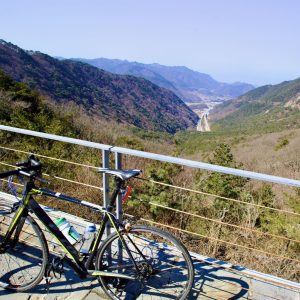
The view from the top? Thick tree lines with glimpses of nearby hills and mountains (road view).
If you’re traveling from the north, after conquering the Sojo Mountain Pass, roll down into Yeonpung Village then shoot back up the mountain pass.
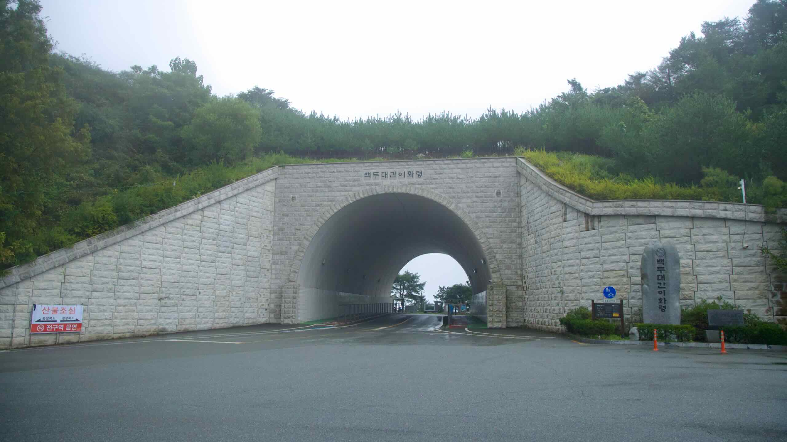
Are you cycling south — Incheon to Busan? Ihwa’s uphill ascent starts at 234-meters above sea level. It follows a zig-zagging mountain road 5 kilometers to the summit (539 m; directions).
Total Climb (north to south): a 305-meter climb over 5.3 km with a 5.8% average incline.
Traveling north — Busan to Incheon? Begin the climb from Mungyeong Town, 226 meters above sea level. Follow switchbacks to the top (539 m; directions).
Total Climb (south to north): a 313-meter climb over 4.9 km with a 6.4% average incline.
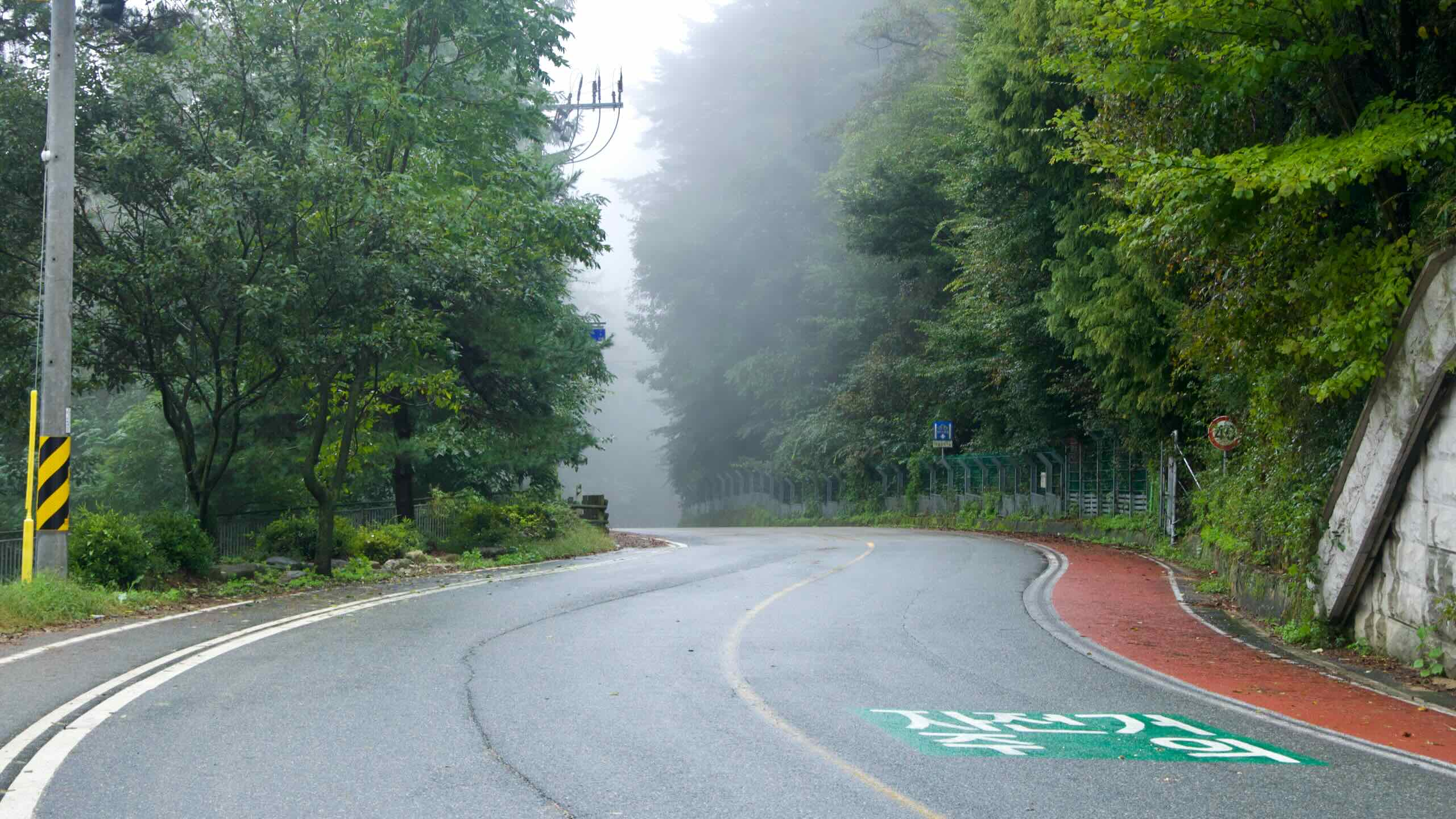
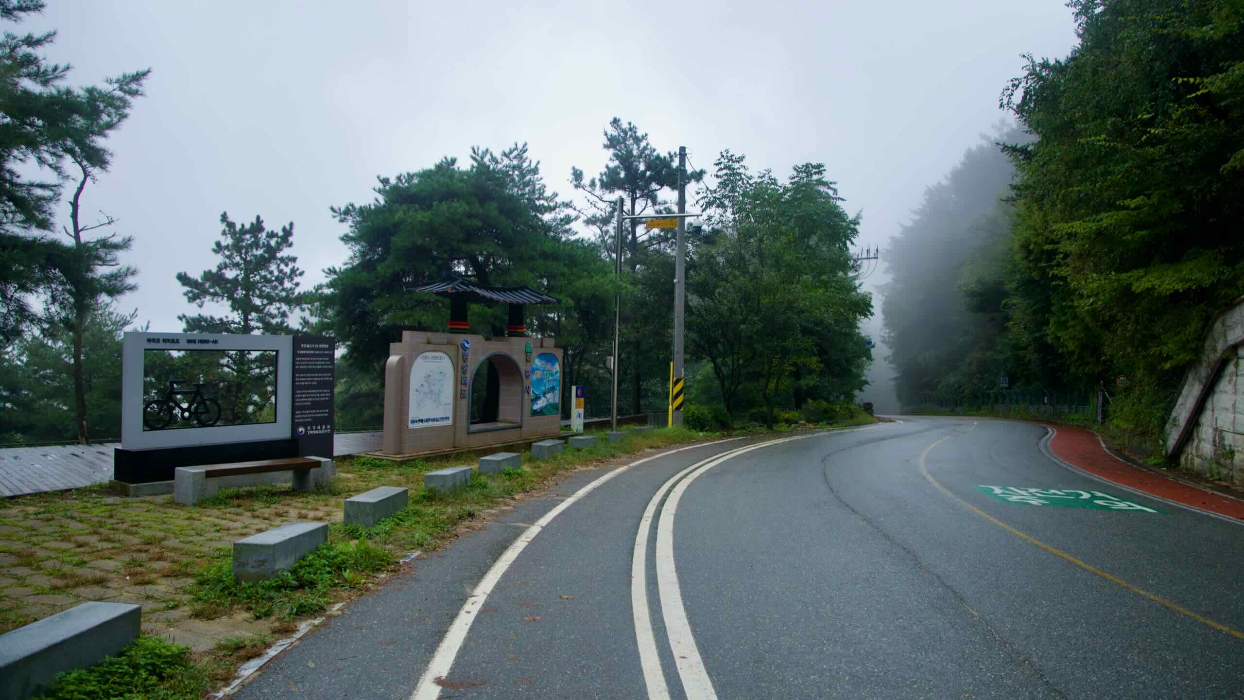
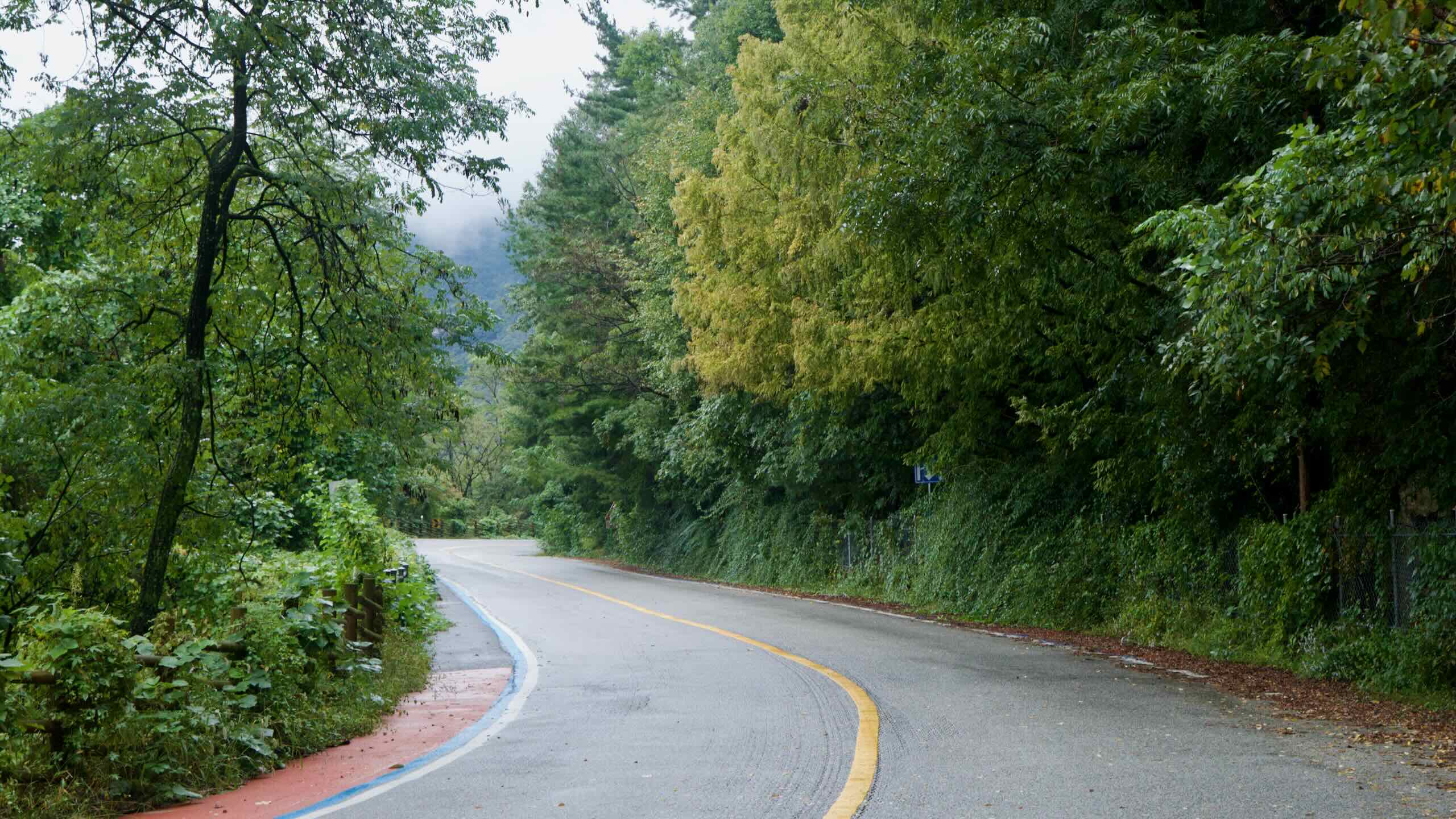
The south side of the mountain pass in Mungyeong City has shaded, switchback roads. No problem in the summer. But in winter, snow lingers longer. Those tight turns require extra caution.
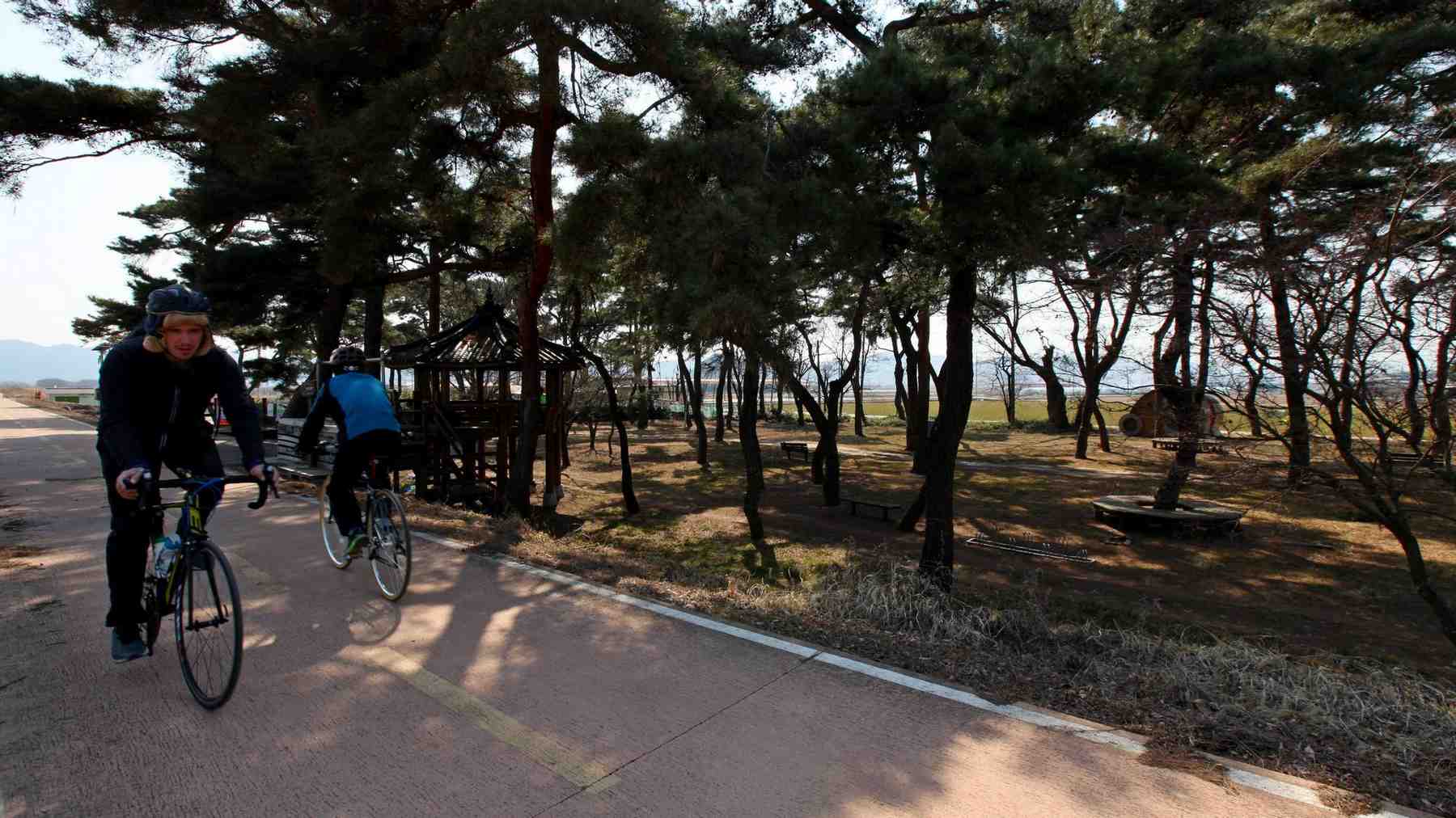
The Saejae Bike Path mostly travels on rural roads. Only the opening and ending stages offer protected bike paths — around downtown Chungju and Mungyeong City’s Jeomchon Neighborhoods.
Country Roads, Take Me Home
Riding country roads with metal machines sounds intimidating? I don’t blame you. However, two route companions make cycling a little safer:
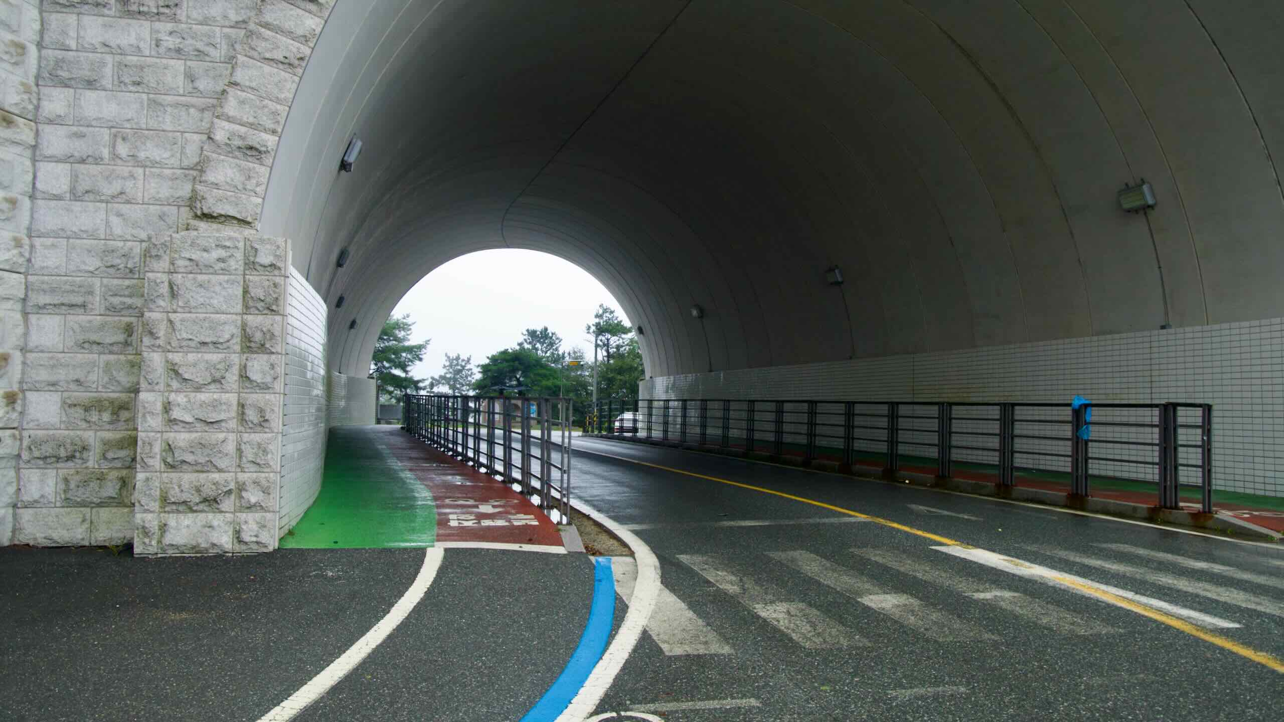
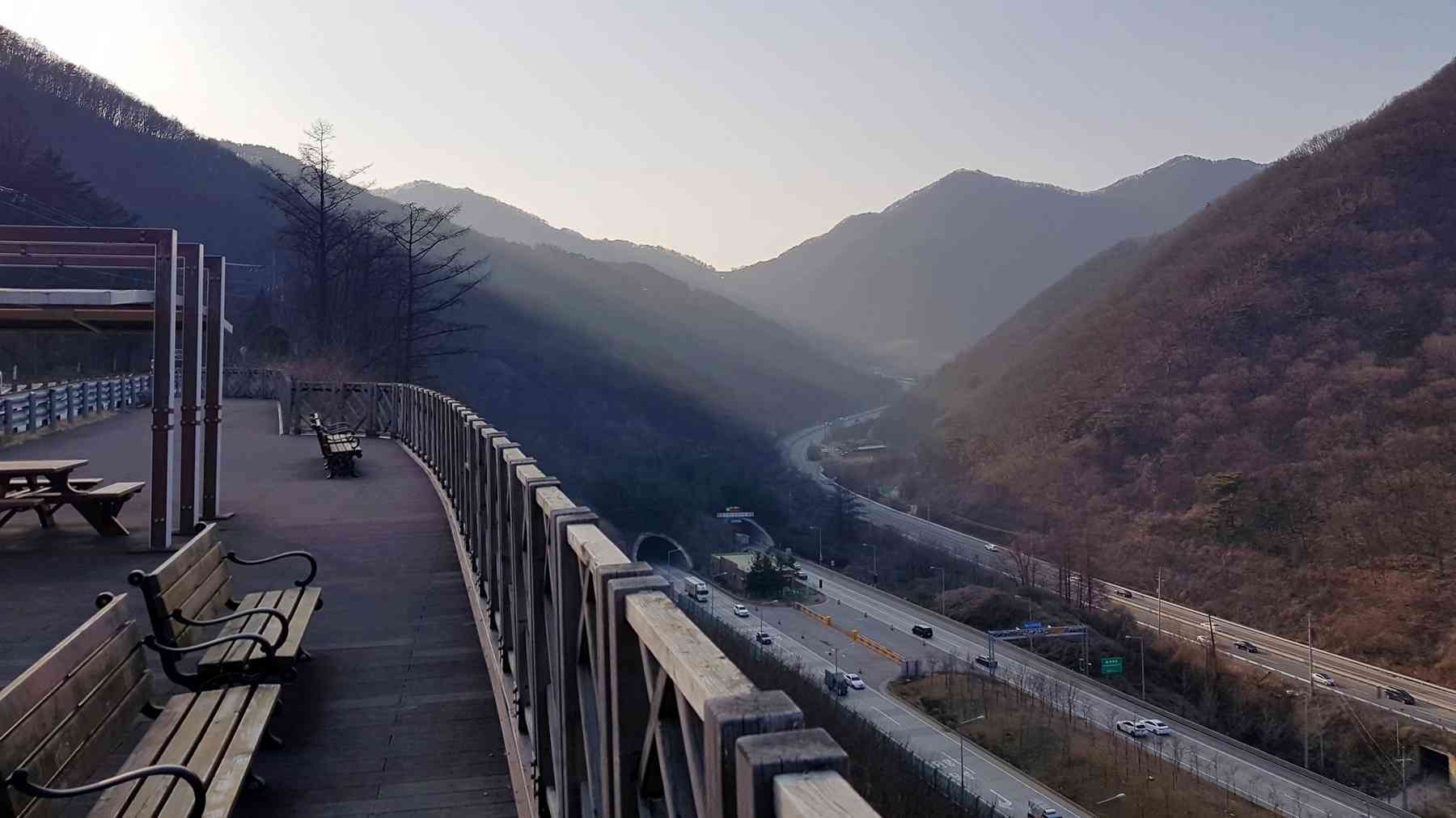
These modern highways cut through mountain sides in bored tunnels, speeding up cross-country travel and skipping treacherous climbs.
What does that mean for bicycles? The expressways empty the older, two-lane country roads on which the Saejae Bike Path travels. Now you’ll find only local farmers or occasional sightseers on these lightly traffic roads.
Why critical? The Sobaek Mountain Range (소백산맥) veers from Korea’s east coast west across the bottom third to the bottom of the peninsula. Before tunnels and aircraft, ancient travelers had to cross this treacherous range.
This “best crossing point,” however, wasn’t an uphill jaunt. It represented the highest ascent along the Great Yeongnam Road. “Saejae,” by the way, translates to “a pass so high, even birds (/sāe/; 새) cannot cross.”
The Saejae Bicycle Path is one of the shortest (100 km) certification paths. However, it offers plenty of scenic mountain vistas and historic treasures.
A twin-cascade pours over bedrock into the Dalcheon while the Cloud Bridge and a hilltop pavilion peek through pines along the rim.
Sujupal Peaks (수주팔봉; map; Sujupalbong) is a rock wall topped with stony spires on the Dal Stream (달천; Dalcheon) south of downtown Chungju.
Stand on the opposite banks of the stream and gaze at Sujupal Peaks. From the rocky ridge, rise eight or “pal” (팔) peaks. Hence, “Sujupal Peaks (수주팔봉).”
Though far from the metropolitan cities and their subways and airports, two transportation options offer cyclists convenient access to the Saejae Bike Path:
Though requiring reservations, trains can offer an alternative way to get you and your bike to Korea's bike paths.
Intercity Bus
Intercity buses. The go-to transportation for bikers and their full-size bikes in Korea.
A few terminals hang near the start and finish line of the Saejae Bike Path. If you’re not riding the Cross-Country Route, intercity buses provide a quick point of entry and exit.
None of the bus timetables fit your schedule? Try a train. The Gyeongbuk Line (경북선; map) passes near the Saejae Bike Path. While service for riders with large bikes is limited, you might find a train with designated bicycle seats.