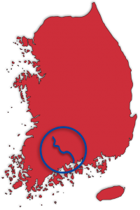
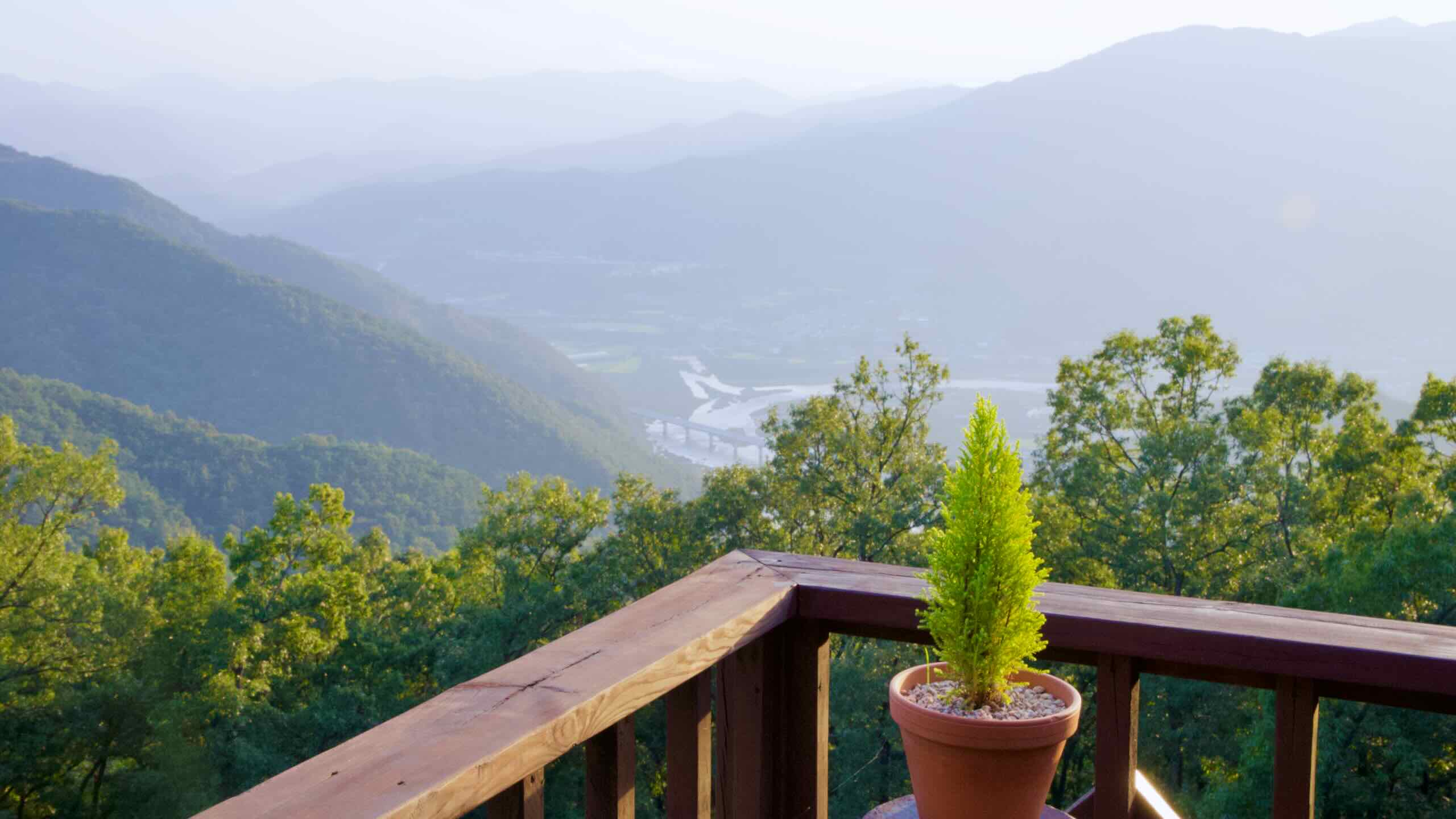
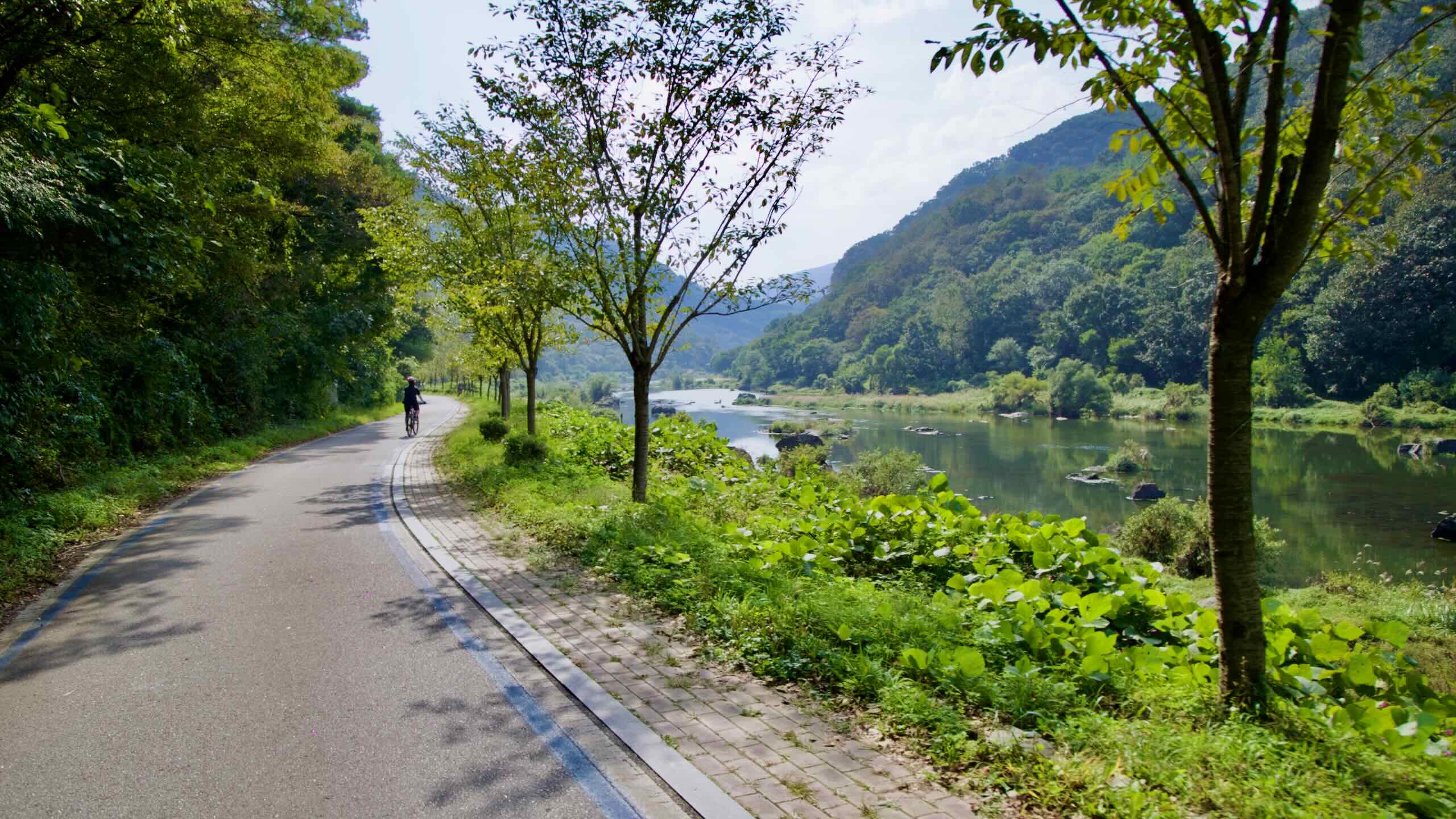
The Seomjingang Bicycle Path (섬진강 자전거길; map) follows the Seomjin River (섬진강; Seomjingang; map) through the country’s bucolic south-central region. It ends on the Korea Strait (남해; map).
The Seomjingang Bike Path traces about 142 kilometres of riverside path from Imsil County in North Jeolla Province to Baeal Island in the Gwangyang Bay. The route shadows the Seomjin River almost from its dammed upper valley to its brackish delta on the South Sea.
Unlike the more notable Four-Rivers routes, the Seomjingang Bike Path travels to a more rural (and hard to get to) portion of South Korea.
The Seomjin River
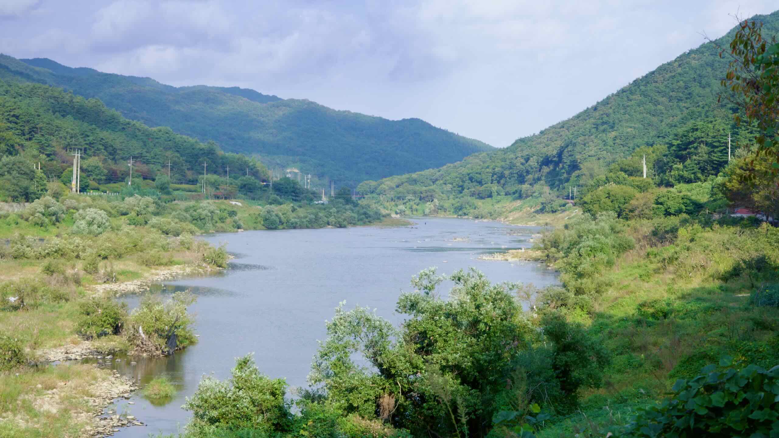
Rising on the slopes between Jeonbuk’s Jinan and Jeonnam’s Gokseong, the Seomjin (섬진강, literally “Toad River”) flows 212 kilometers before spilling into Gwangyang Bay.
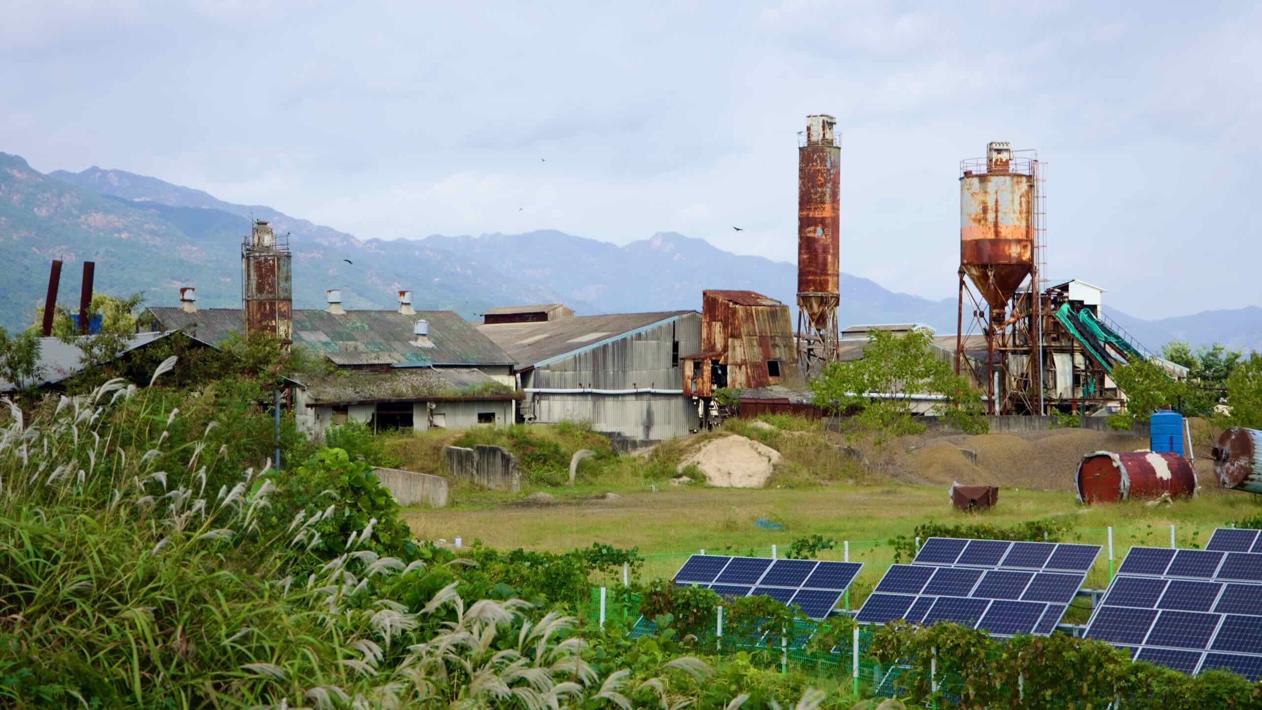
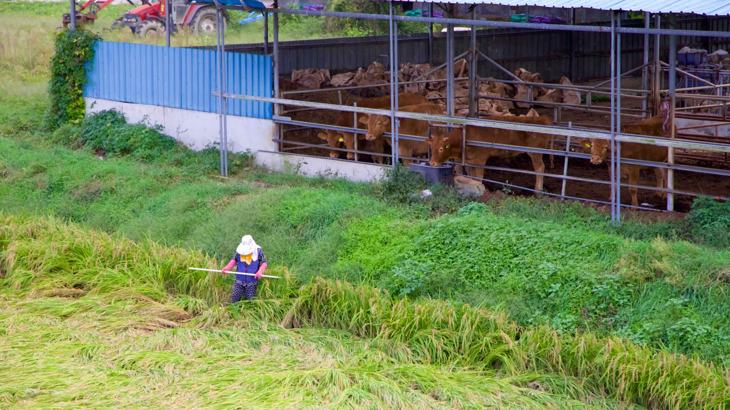
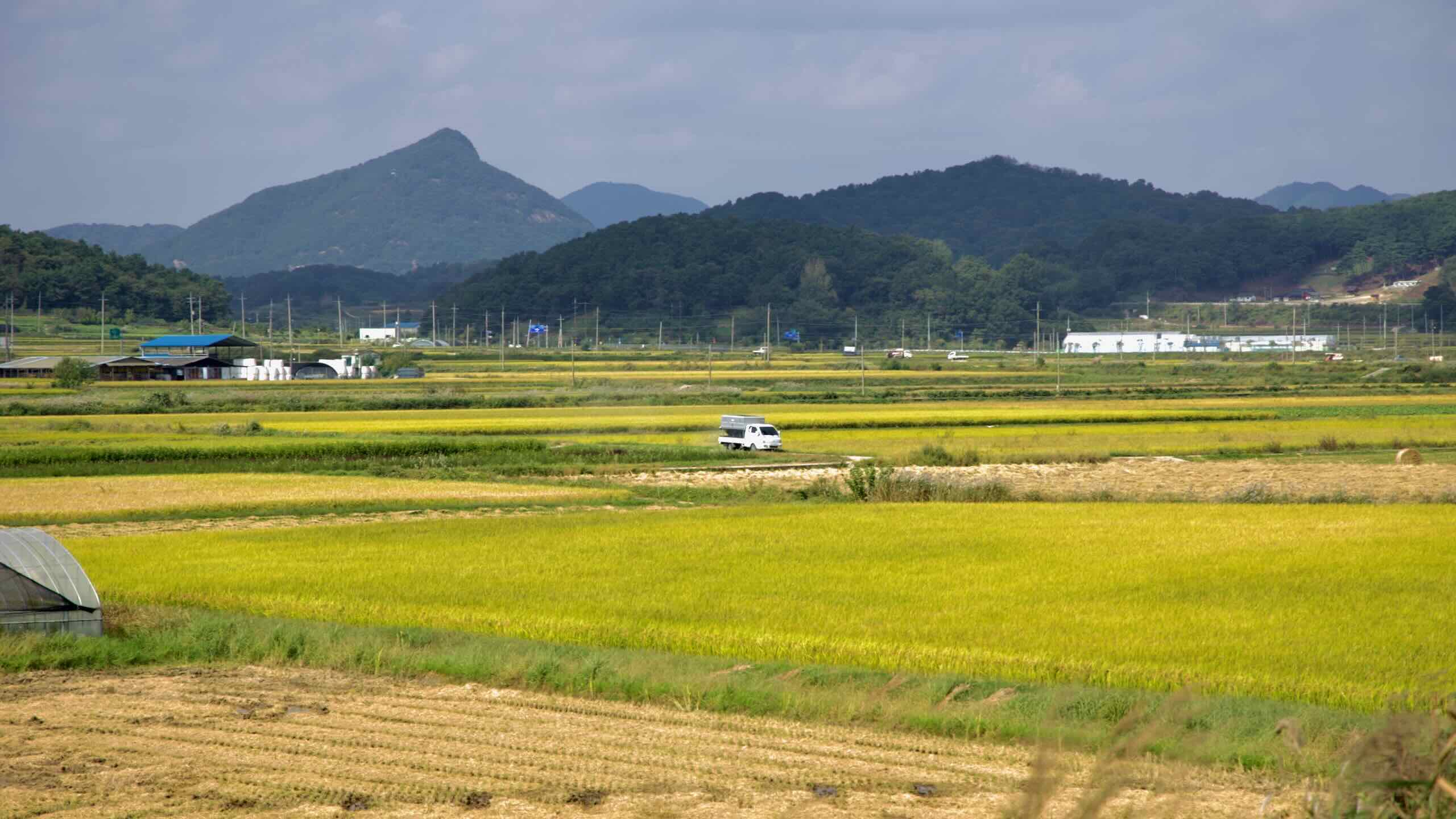
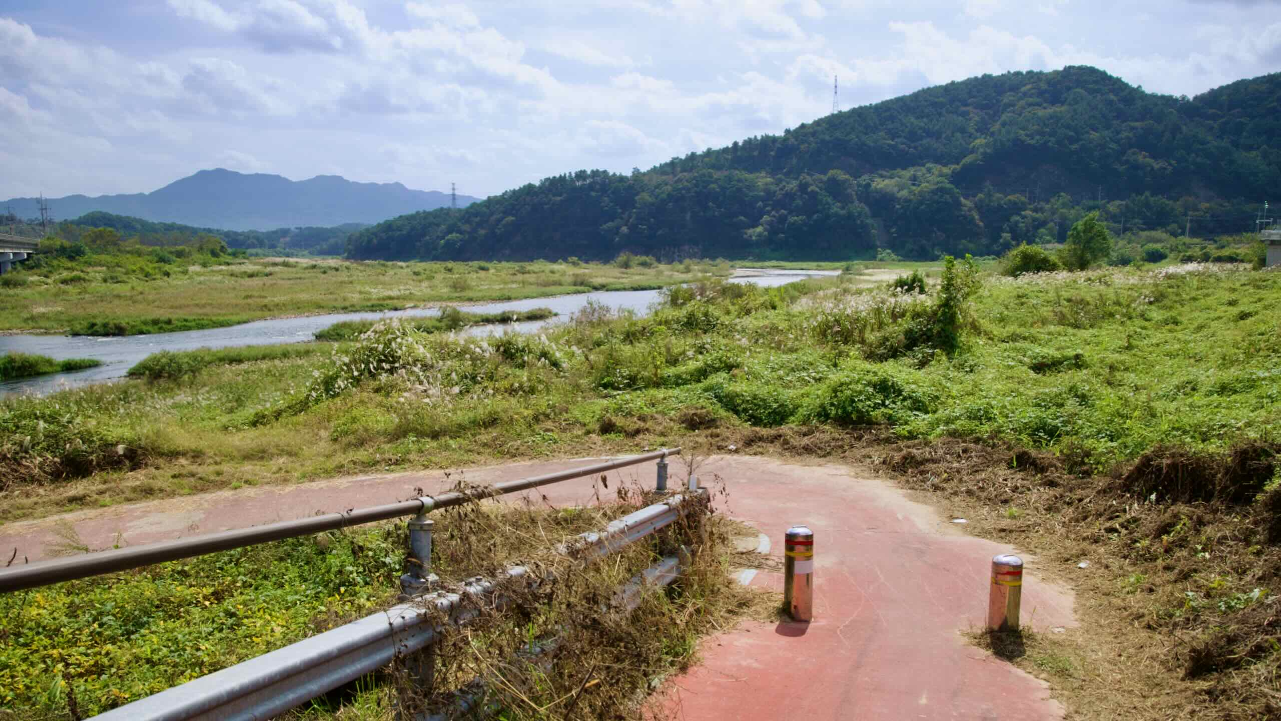
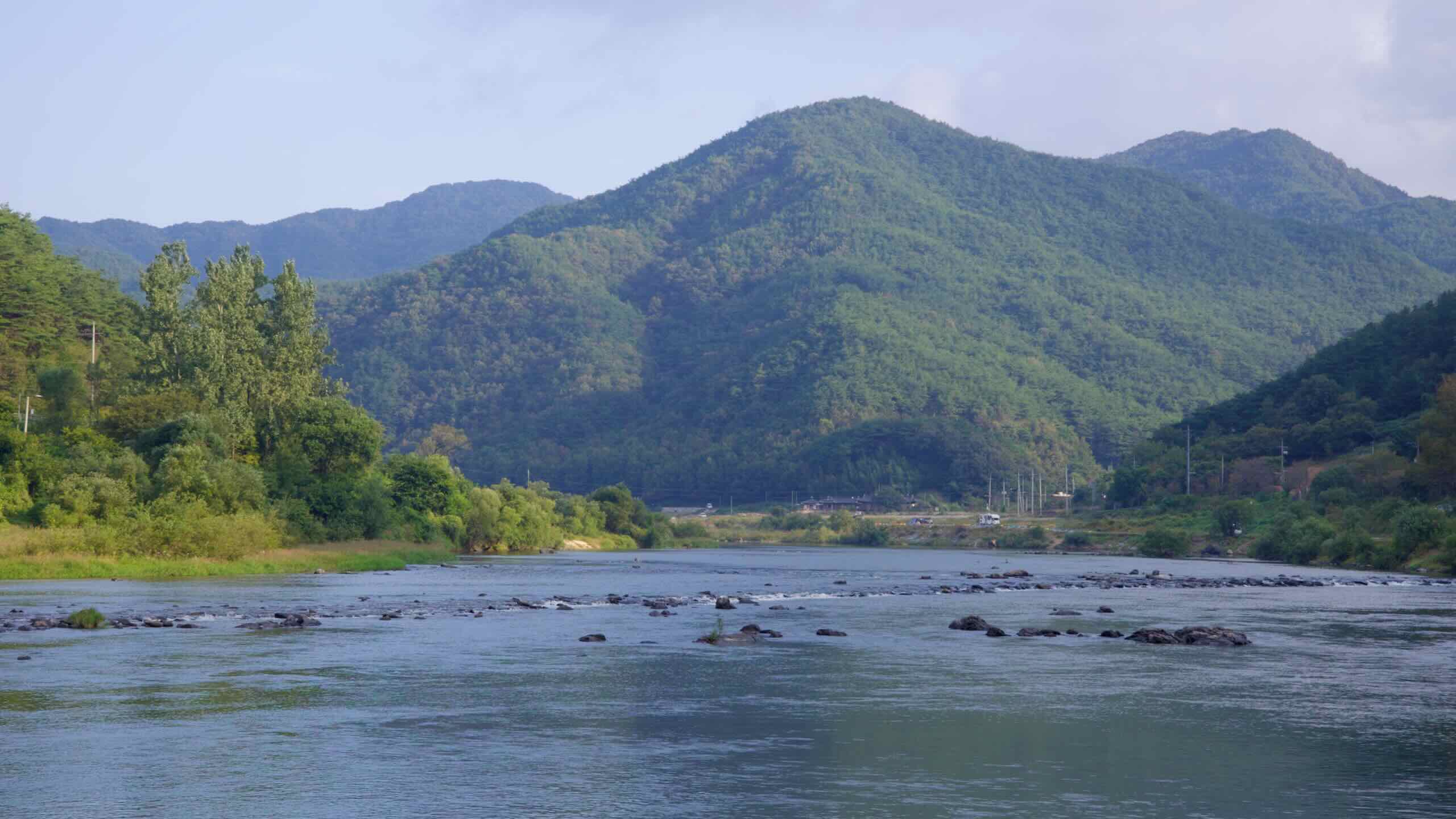
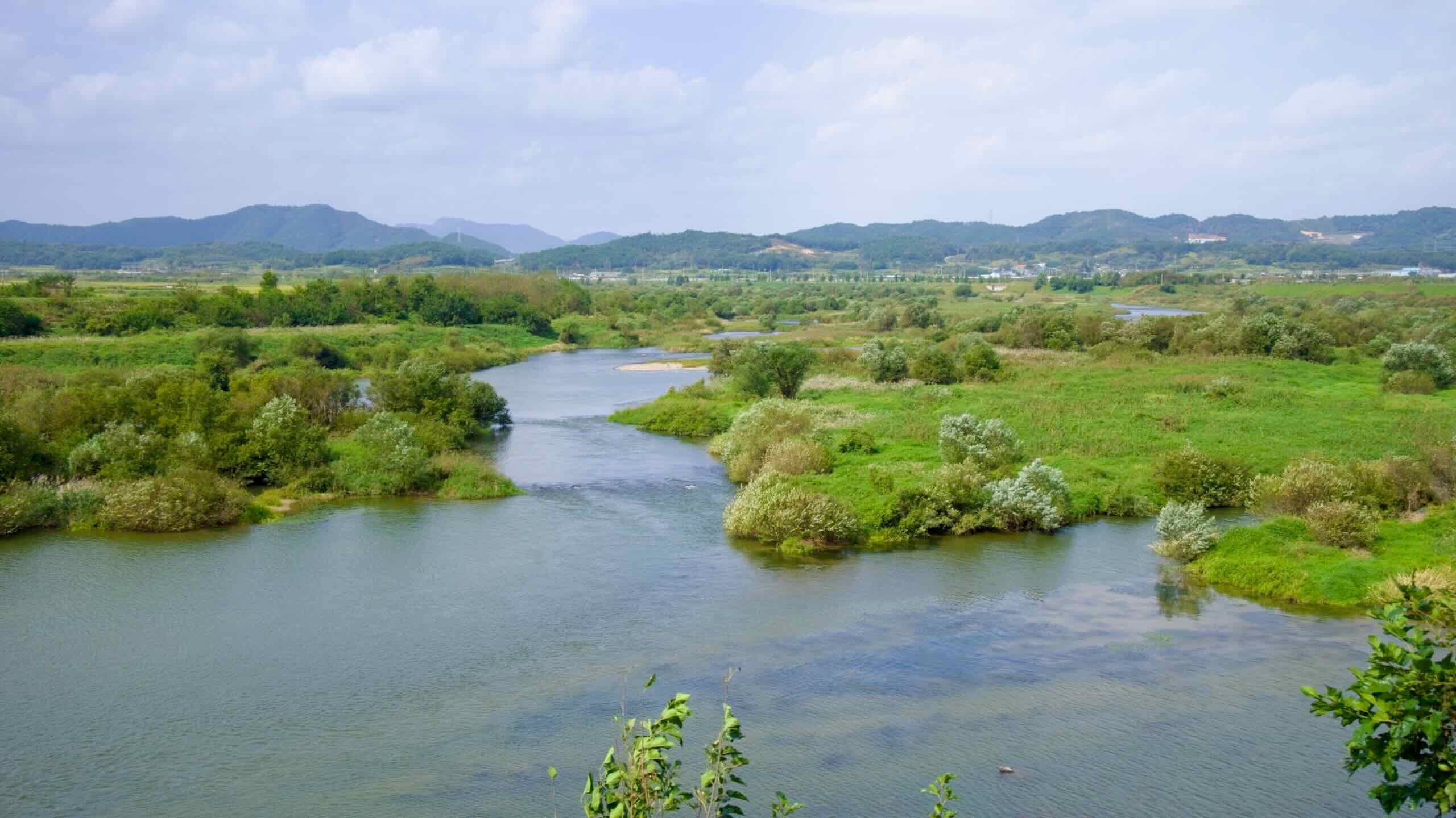
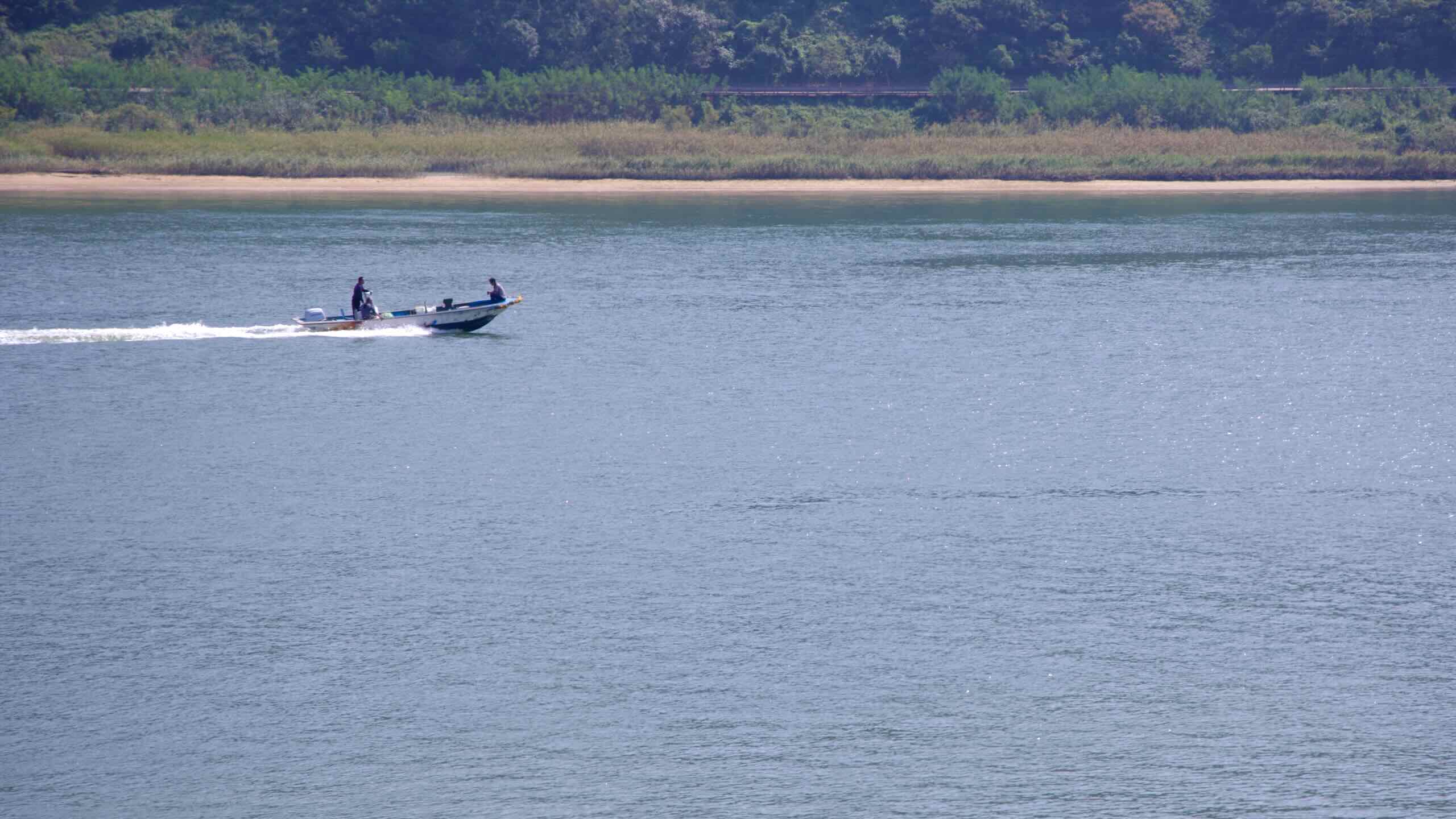
Most of the river remains untouched by weirs, letting sand-bar islands, rice paddies, and otter habitats flourish. Heavy industry never reached this watershed, so water quality remains some of the cleanest on the peninsula.
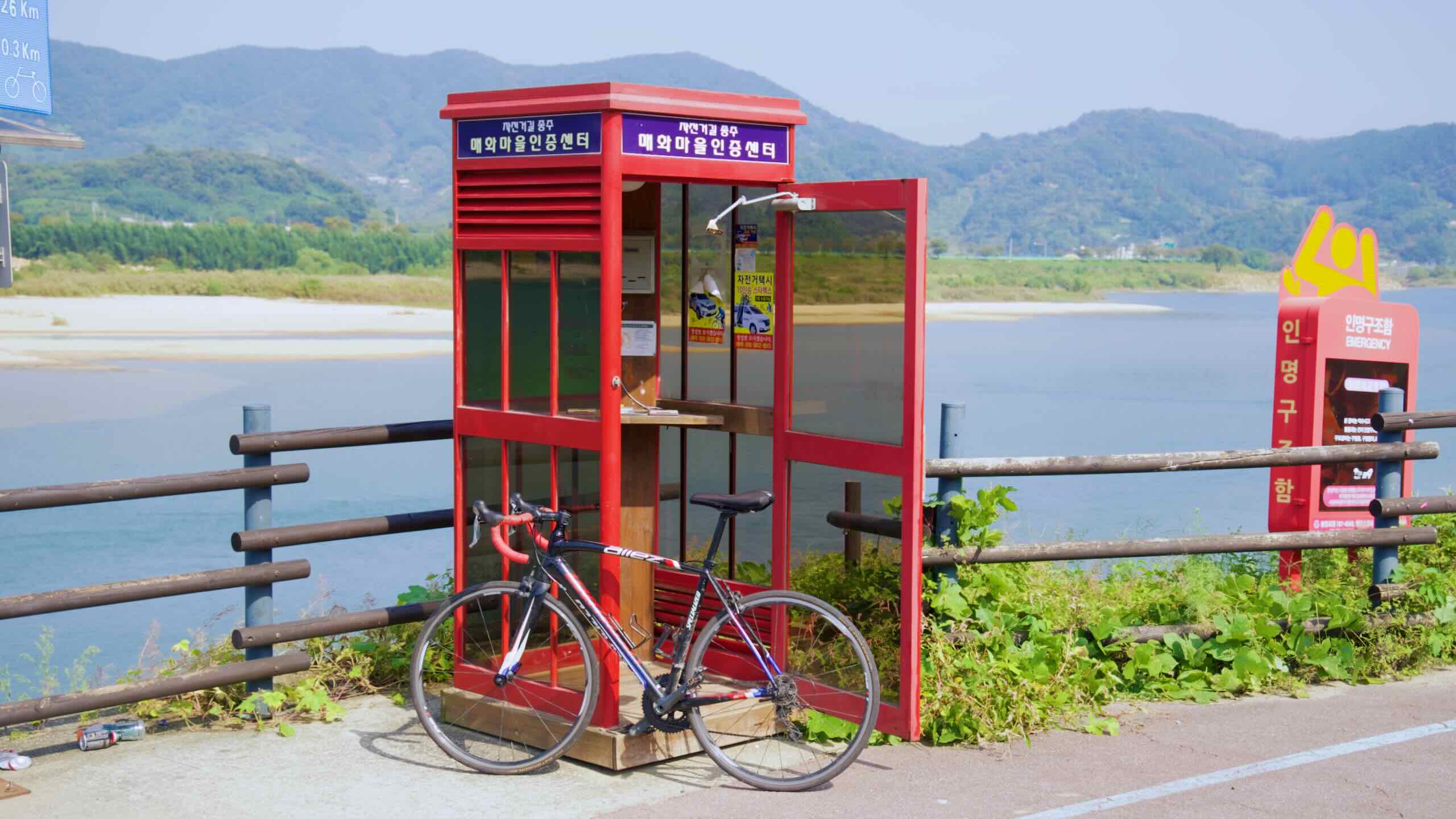
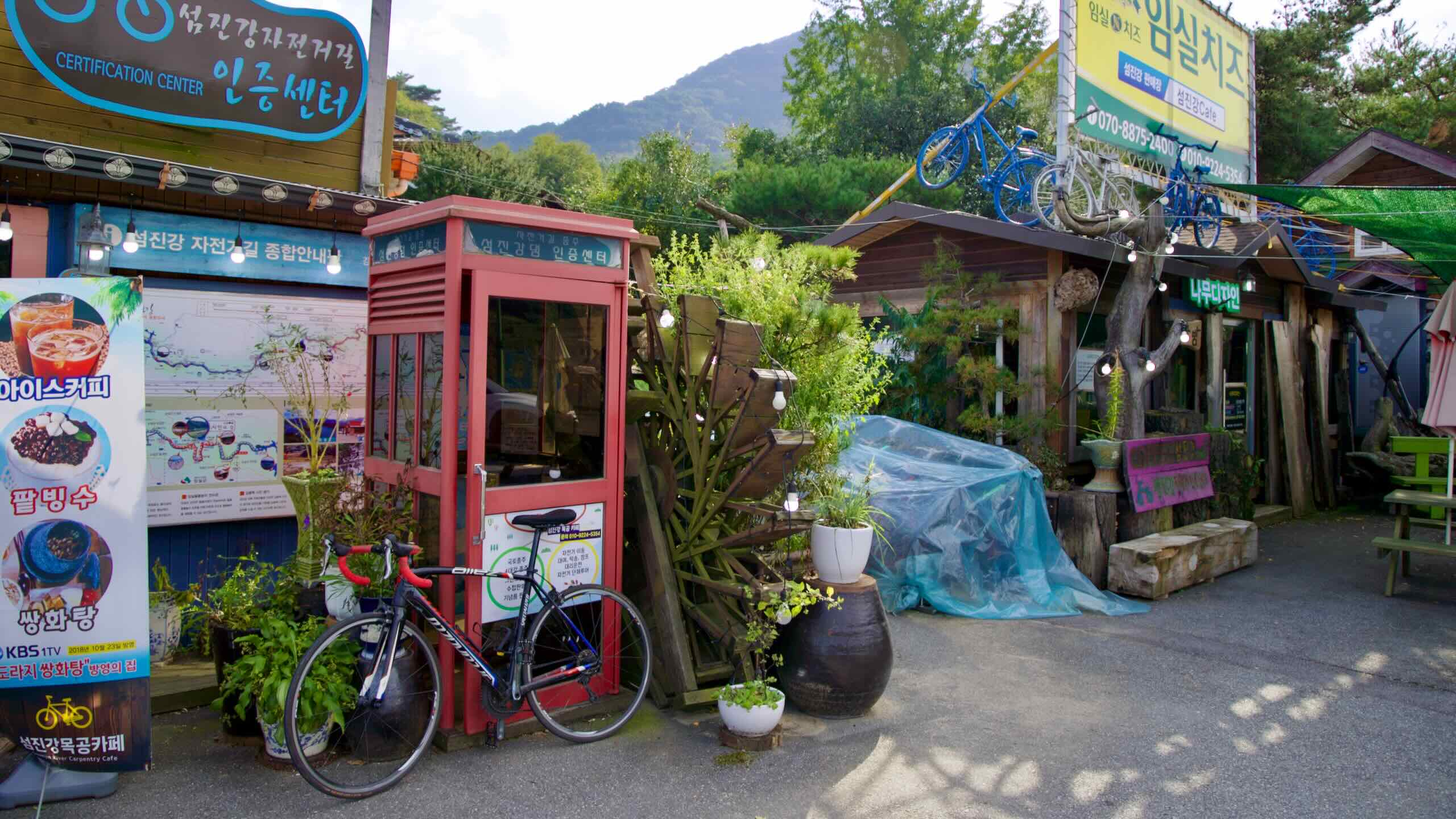
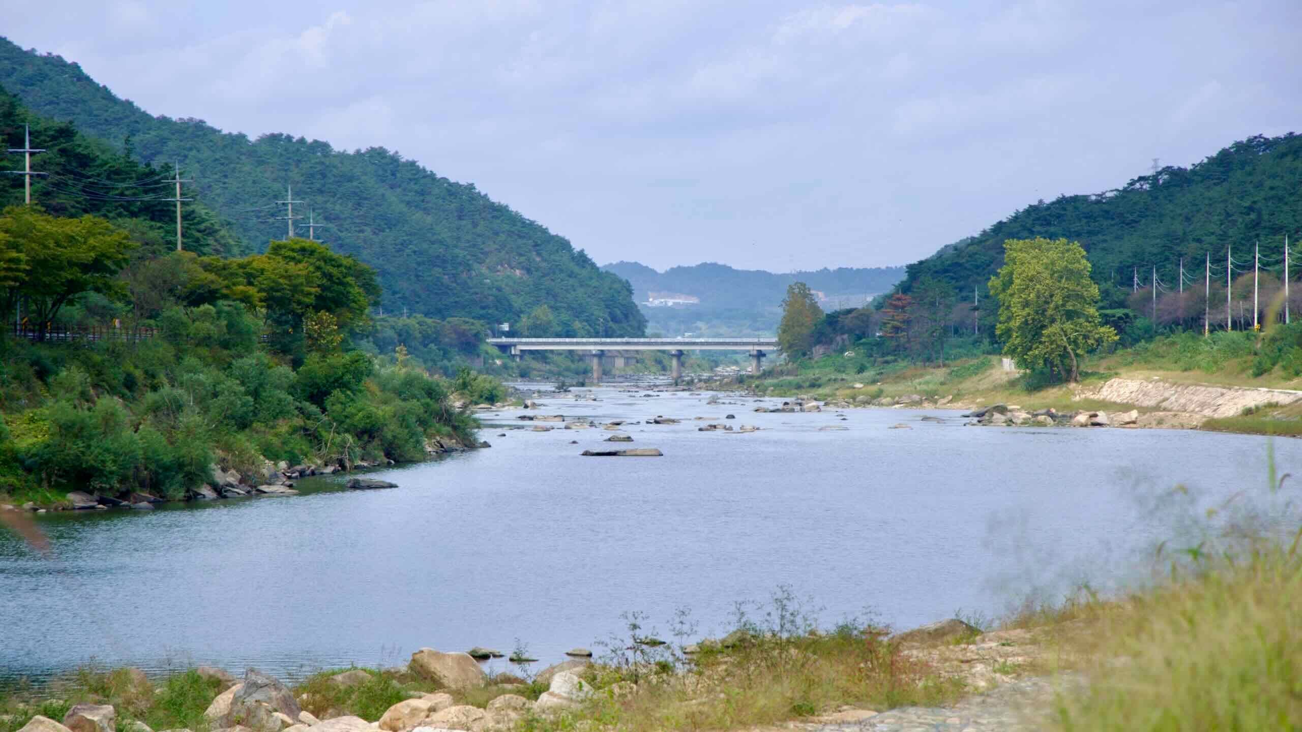
Starting at the Seomjin River Dam Certification Center, the path threads small hamlets before meeting the granite outcrops at Janggunmok.
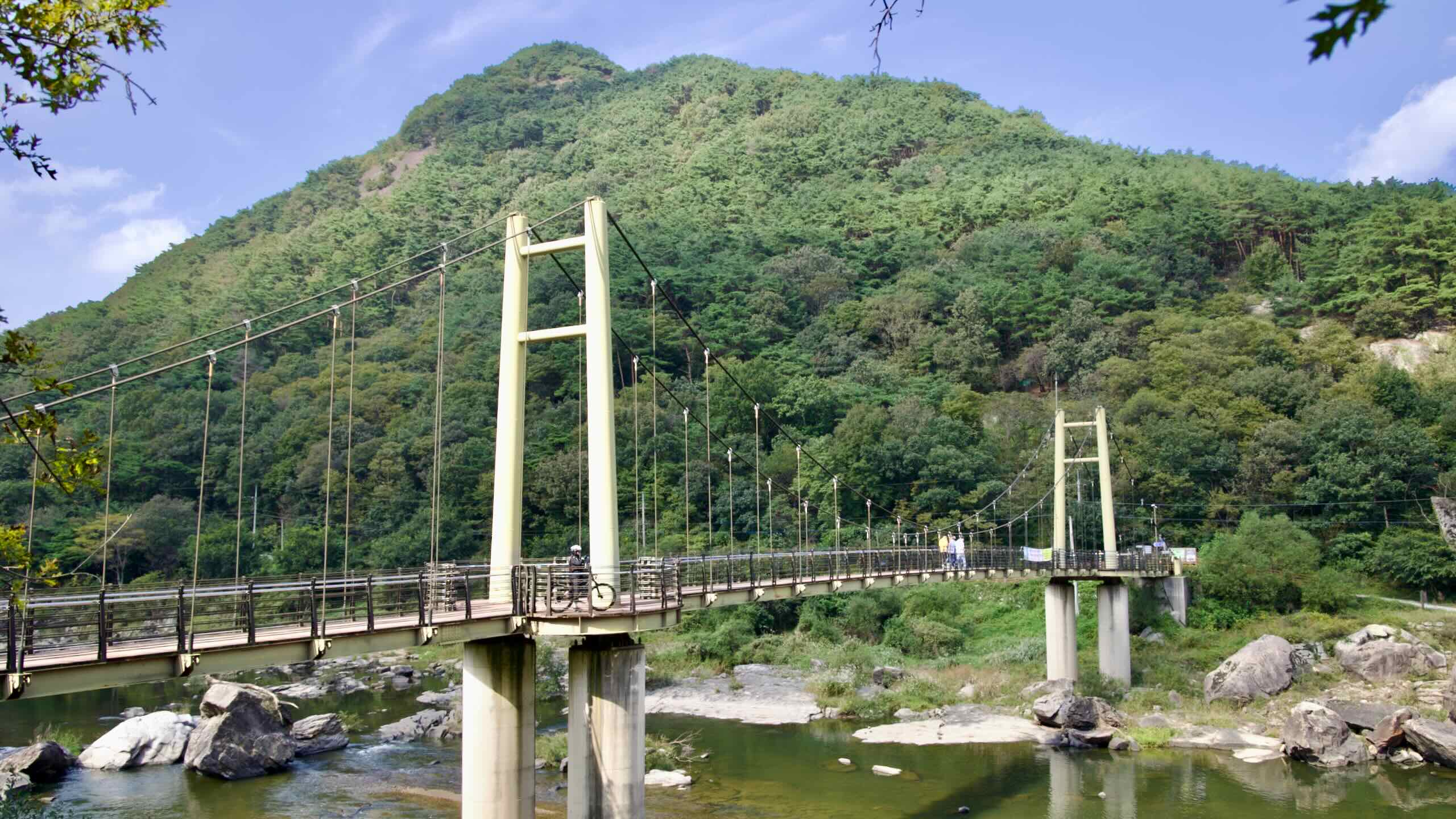
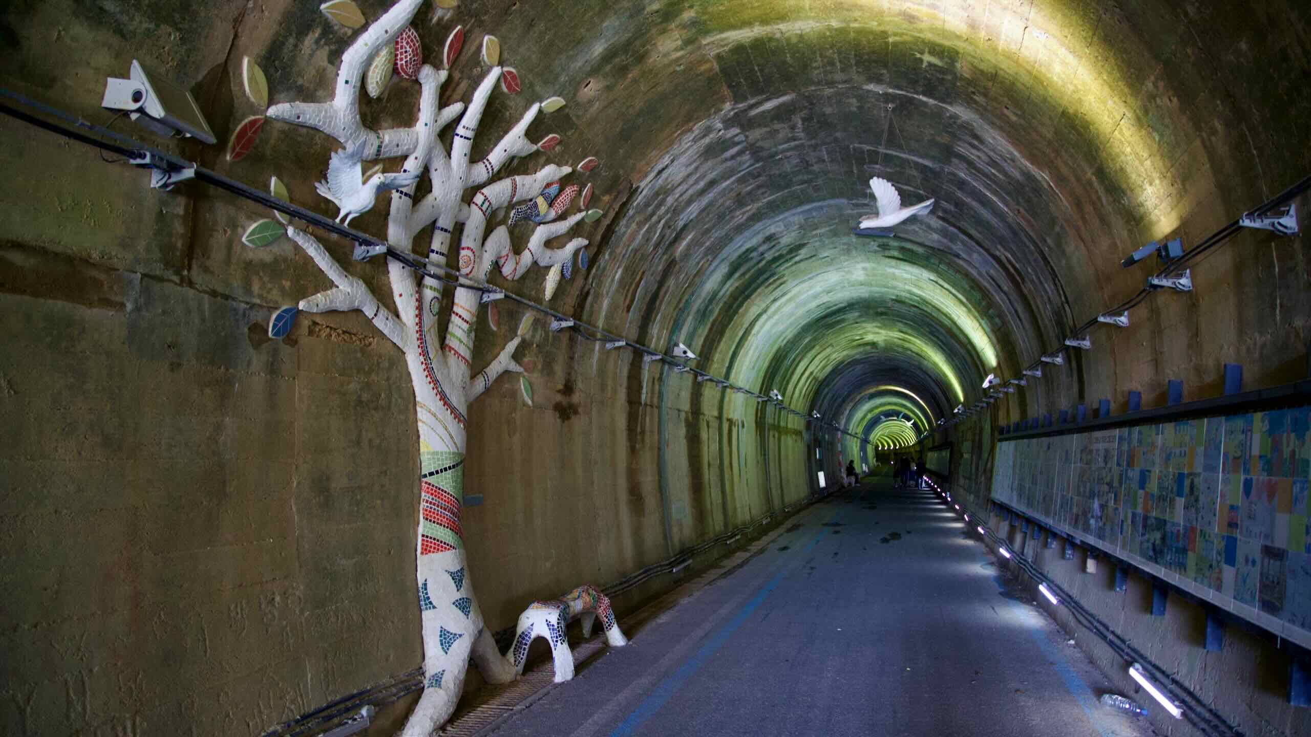
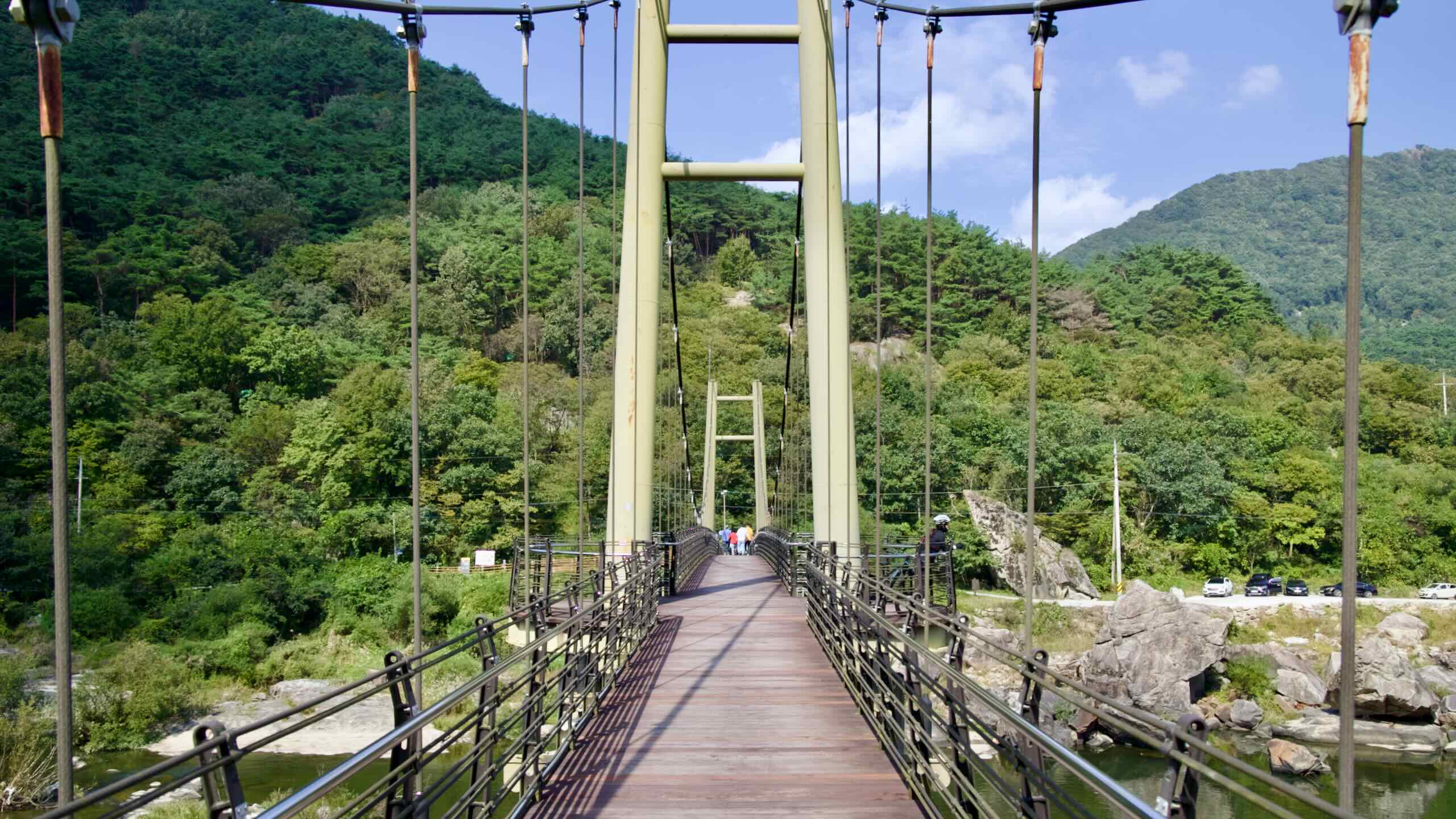
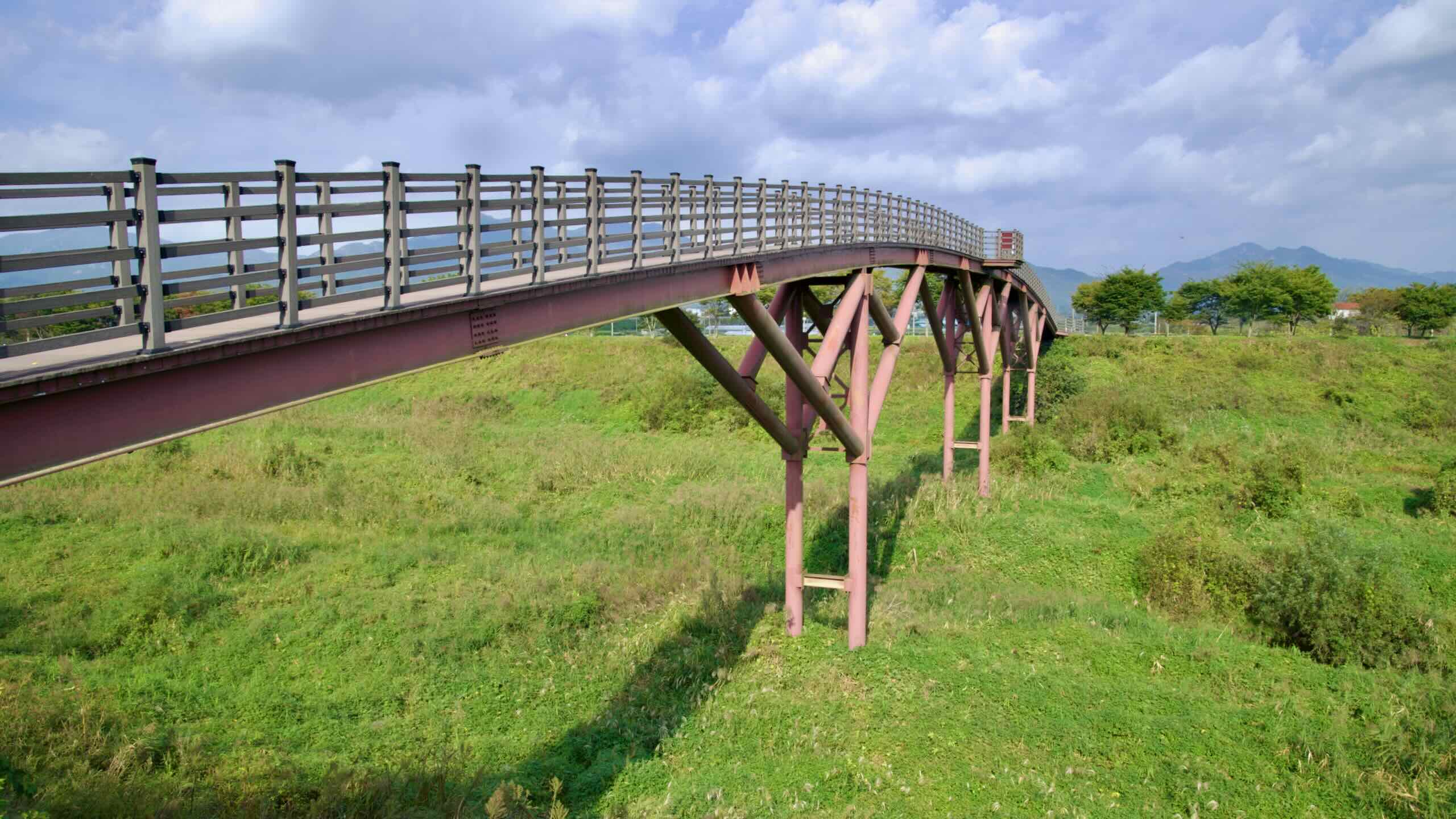
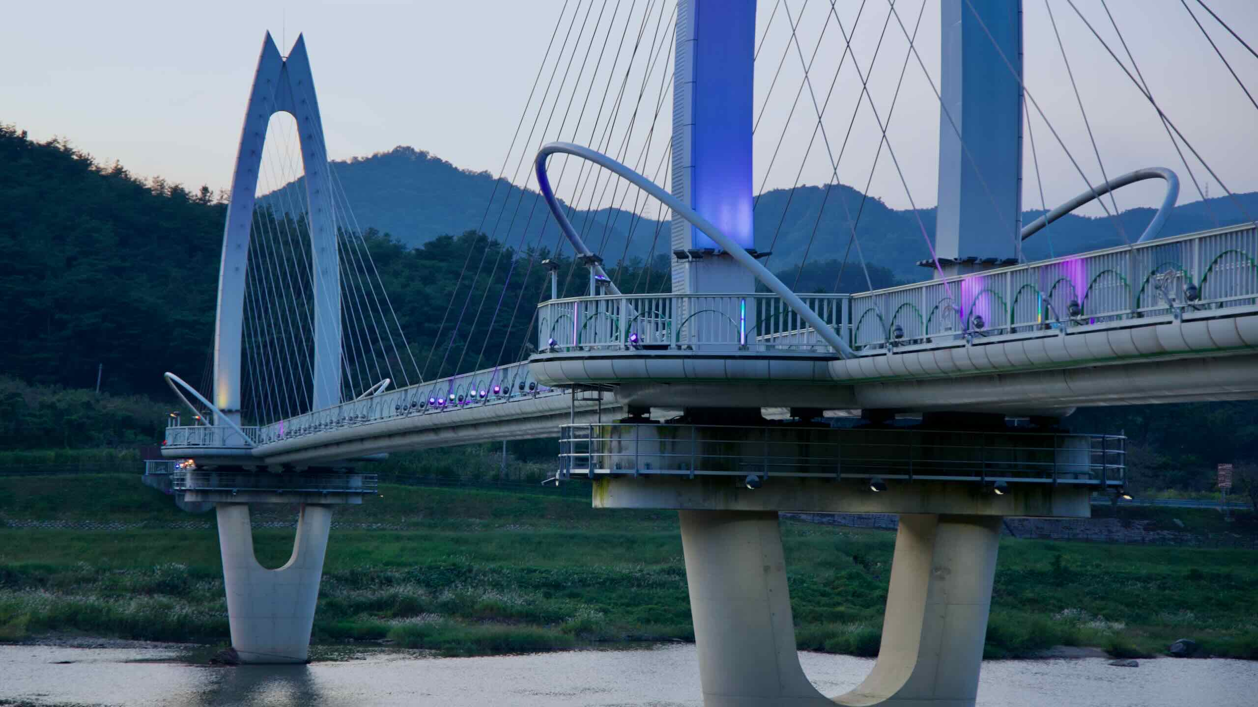
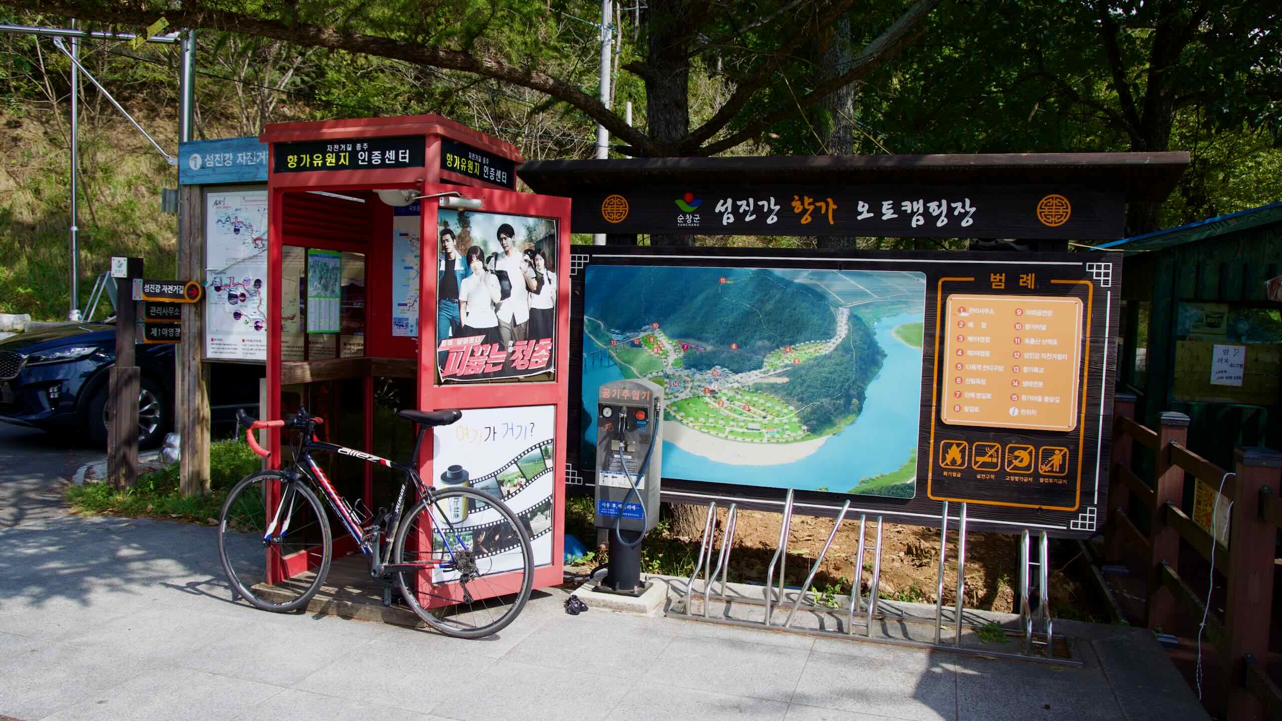
In the middle of the course, pass Chaegae Mountain Suspension Bridge, the longest of its kind in Korea, and drift through Hyangga Amusement Park, a reborn colonial rail tunnel that now hosts the third stamp booth.
Finish at riverside Hwoingtang Pavilion in Gokseong, with four certification stamps collected.
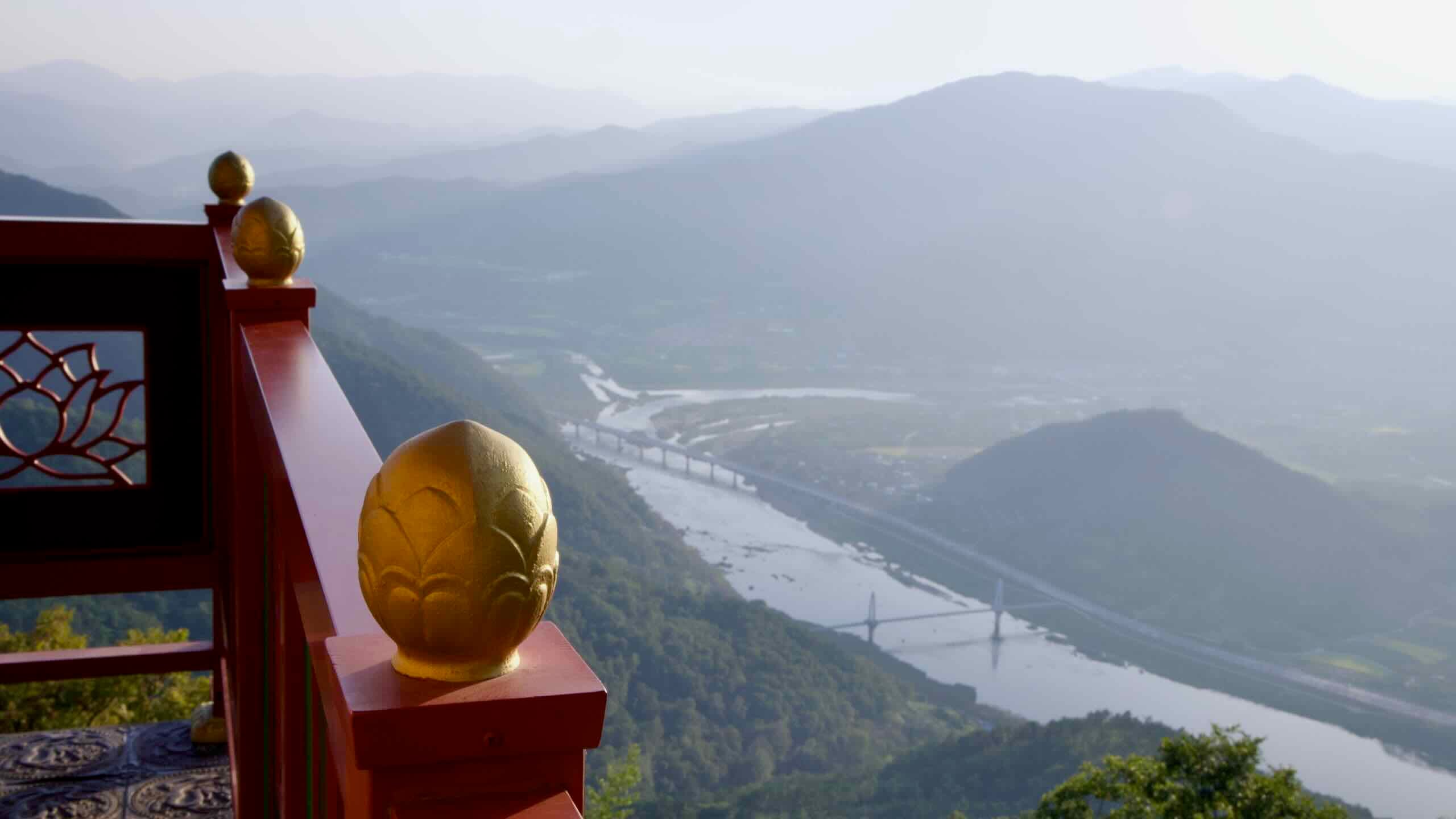
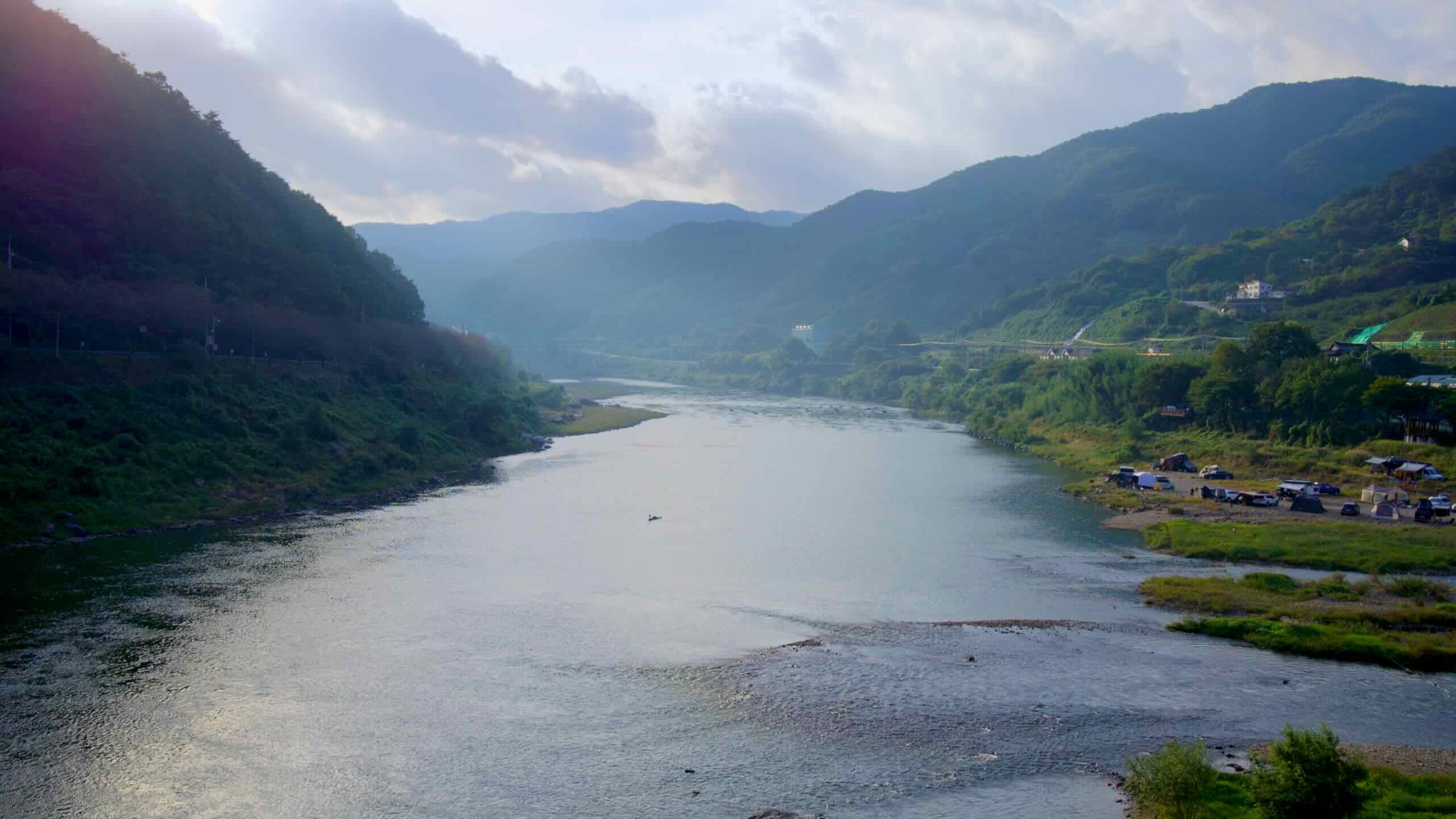
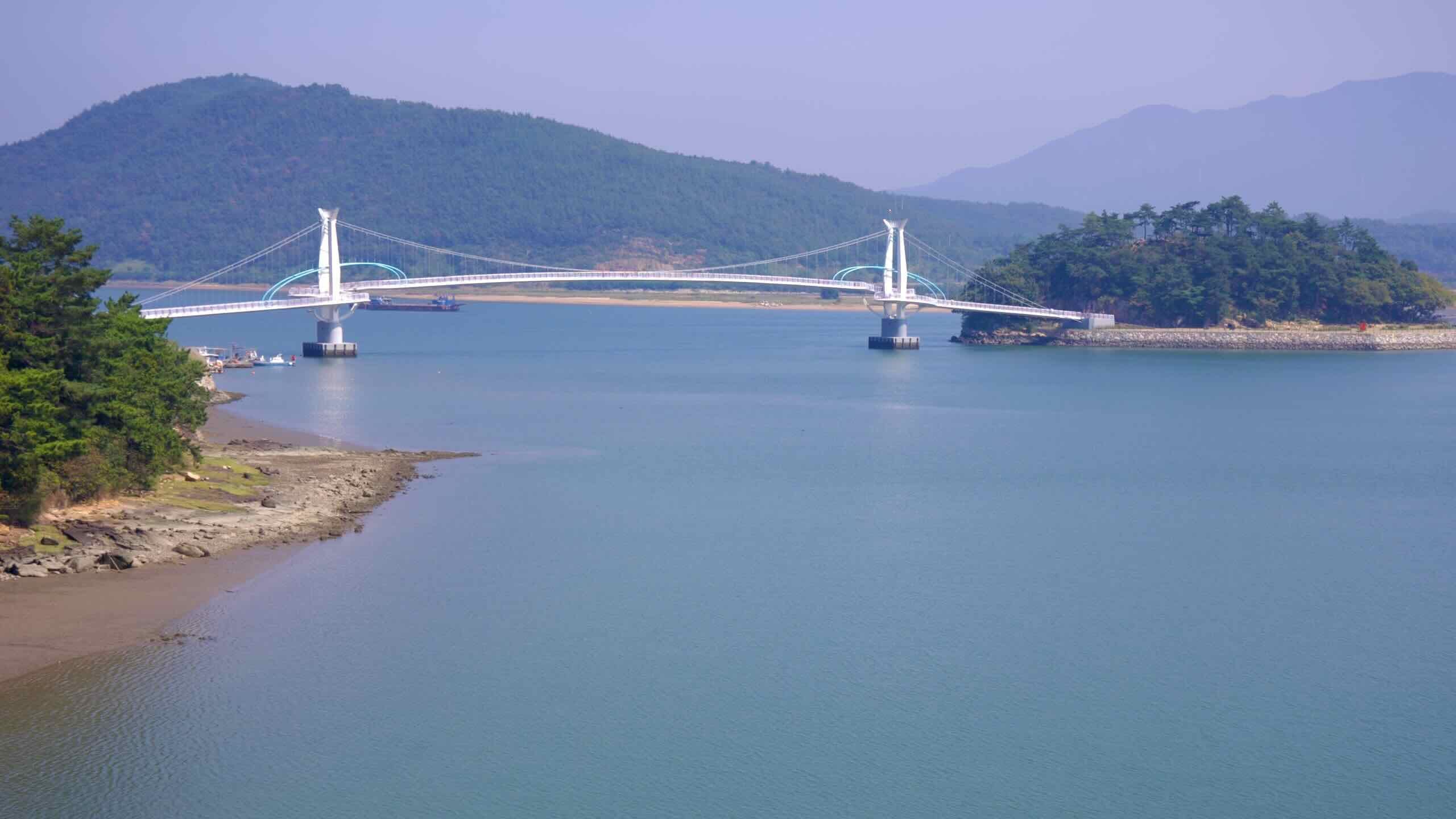
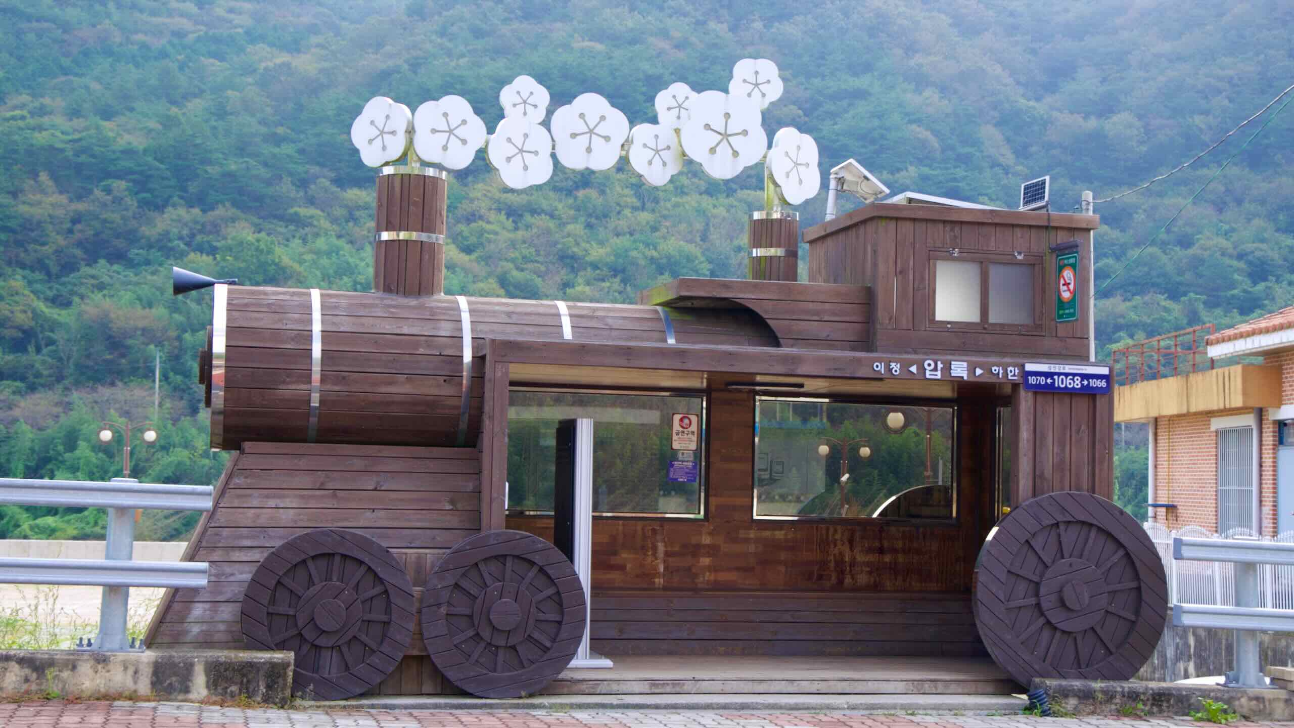
The next section of the course continues down the Seomjin River near the Seomjin River Train Village. Follow rows of shady pines to Seomjin Suspension Bridge. Near Hadong Village, pause at the parking lot and find a fleet of taxis that will whisk you to the mountaintop Saseongam Hermitage
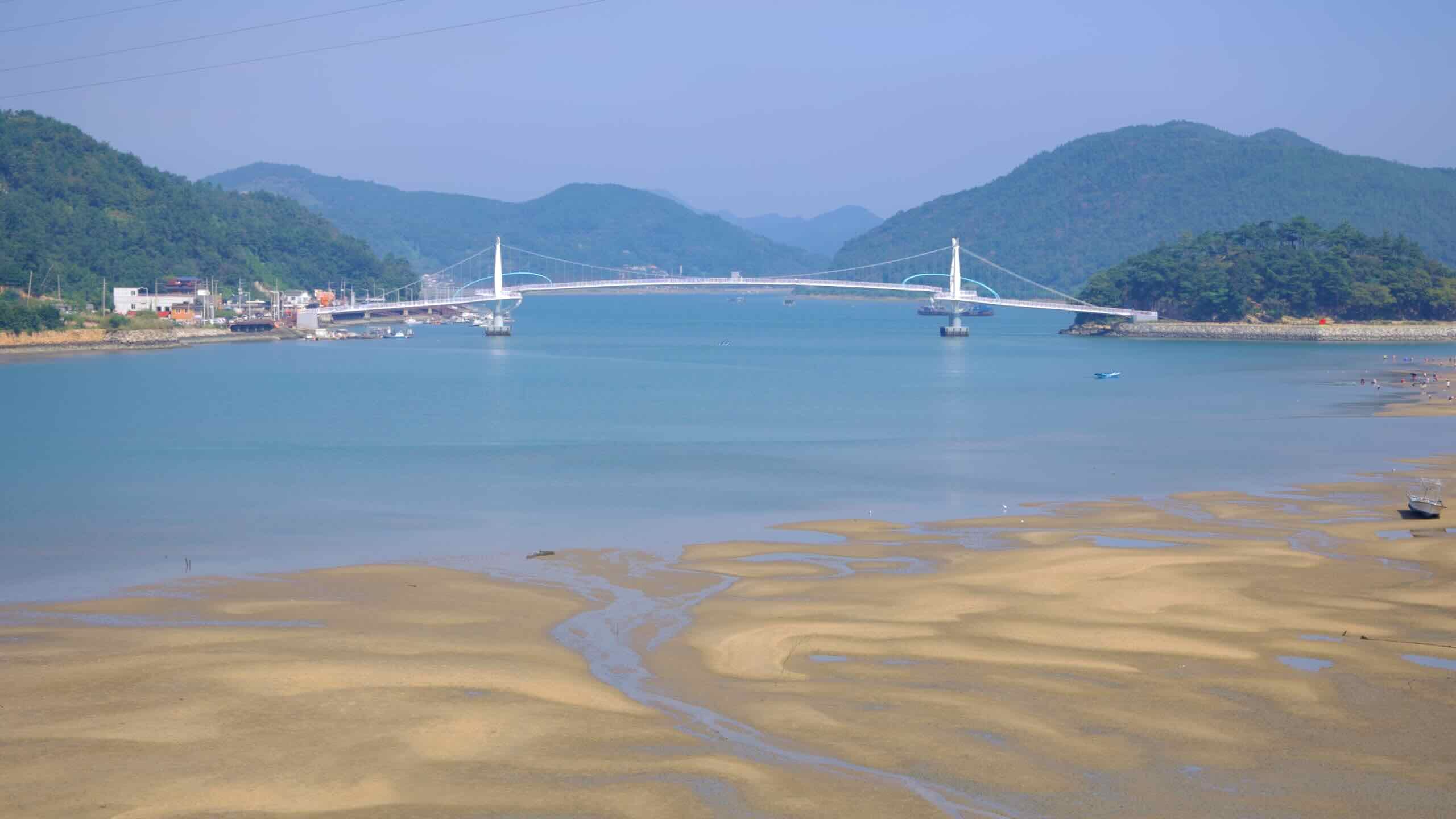
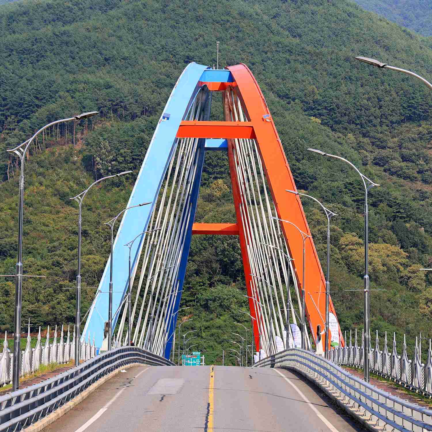
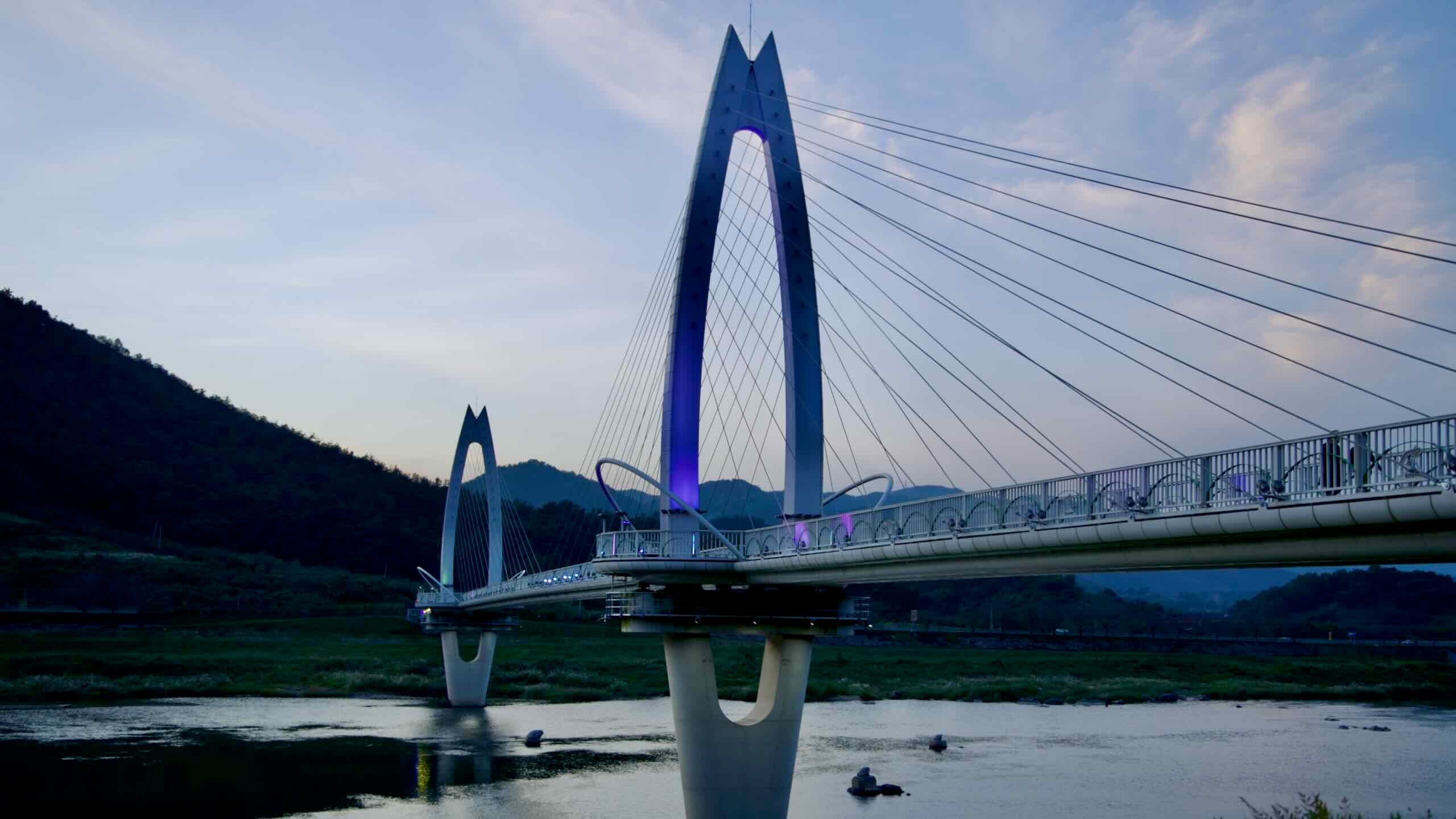
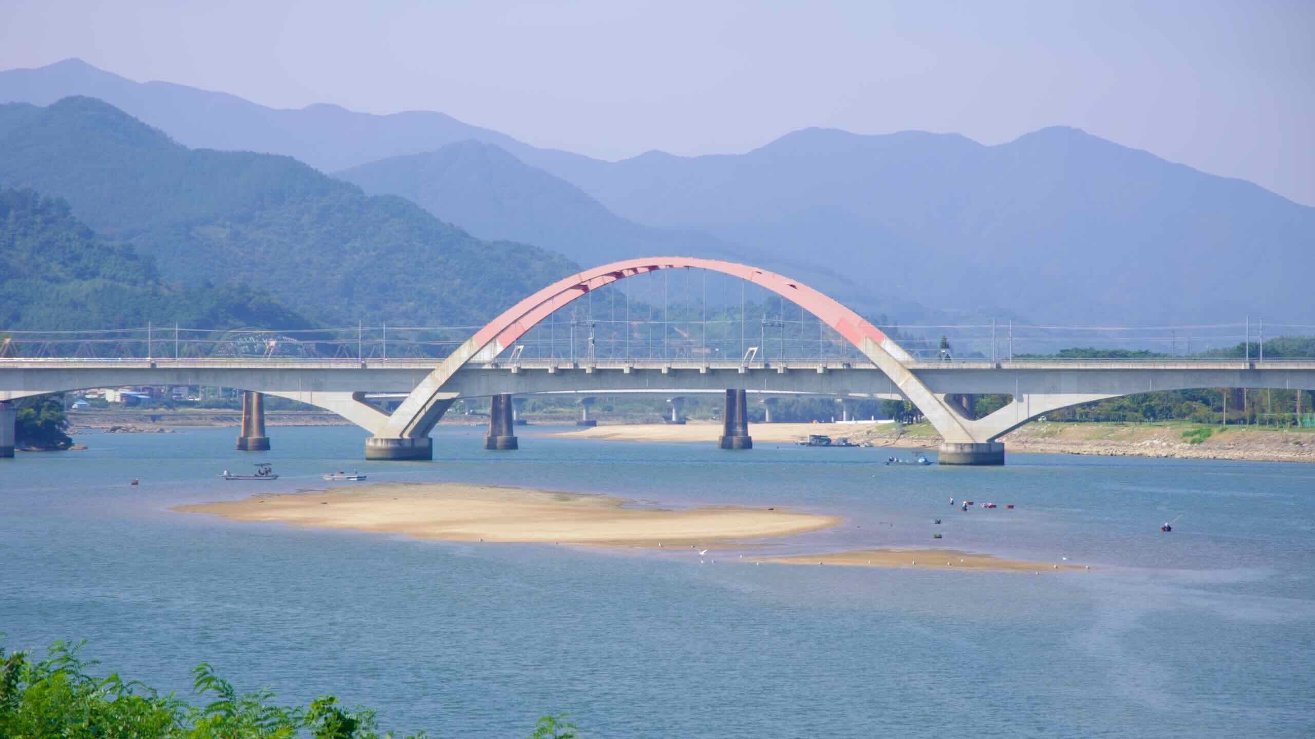
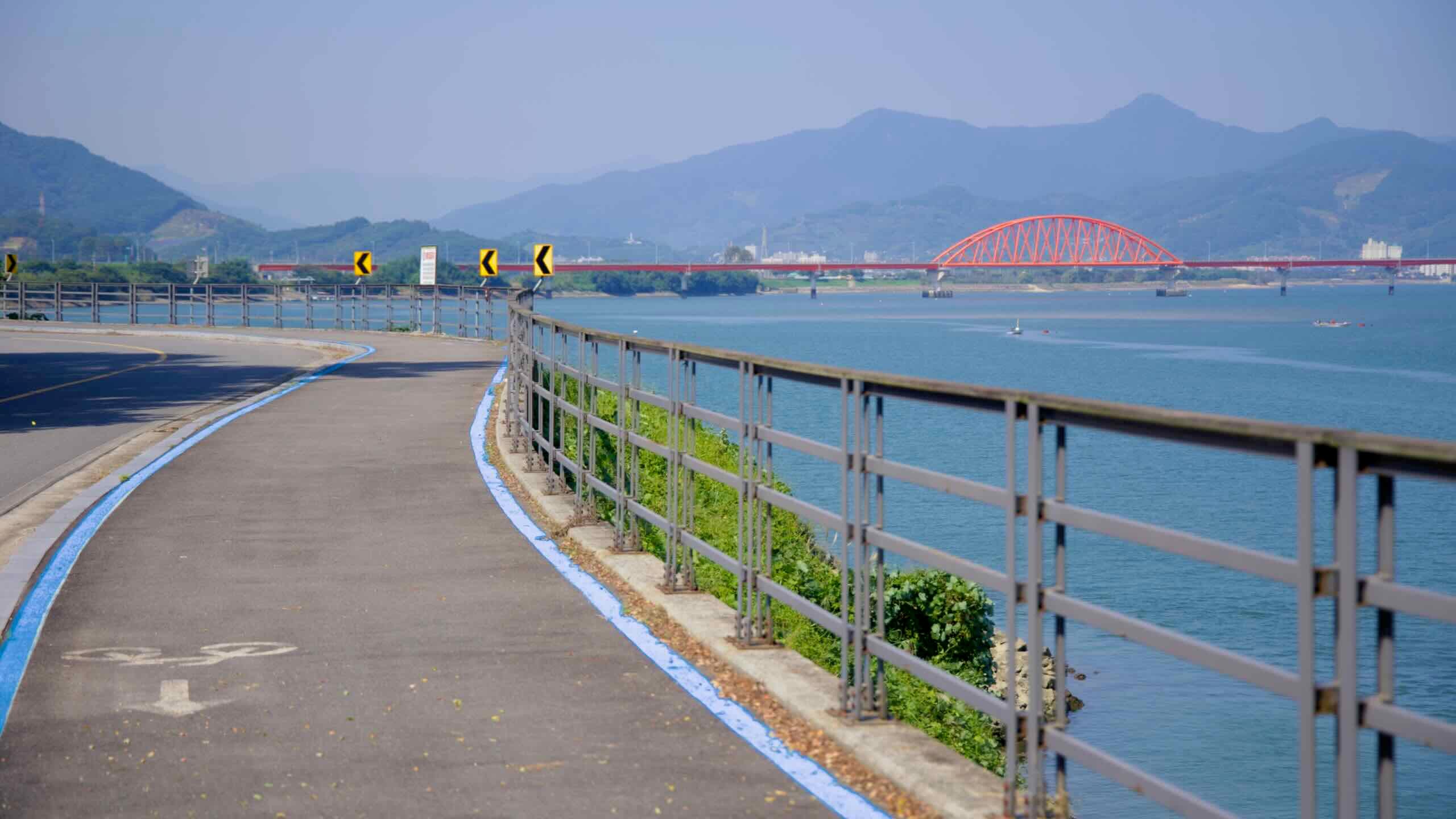
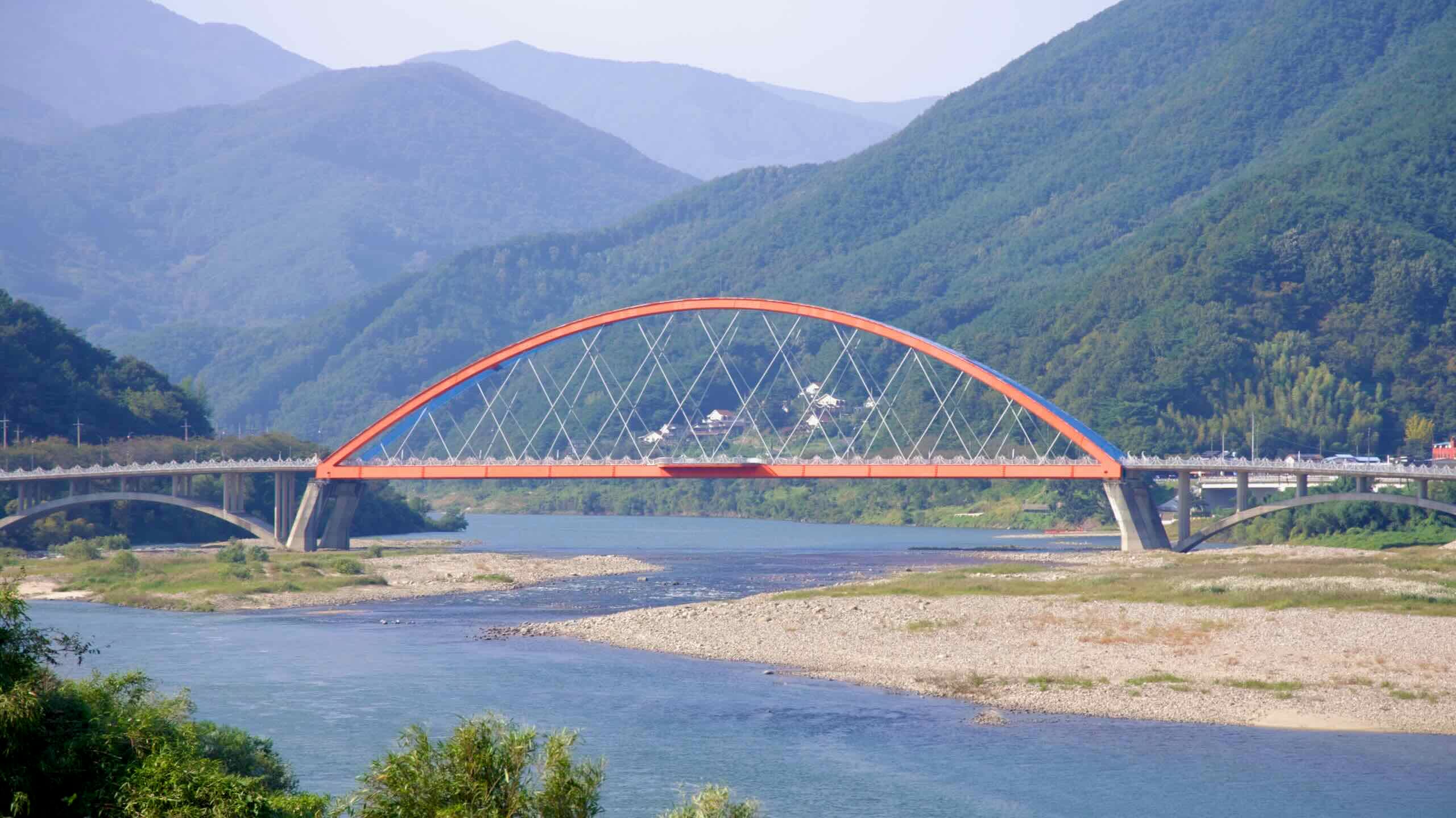
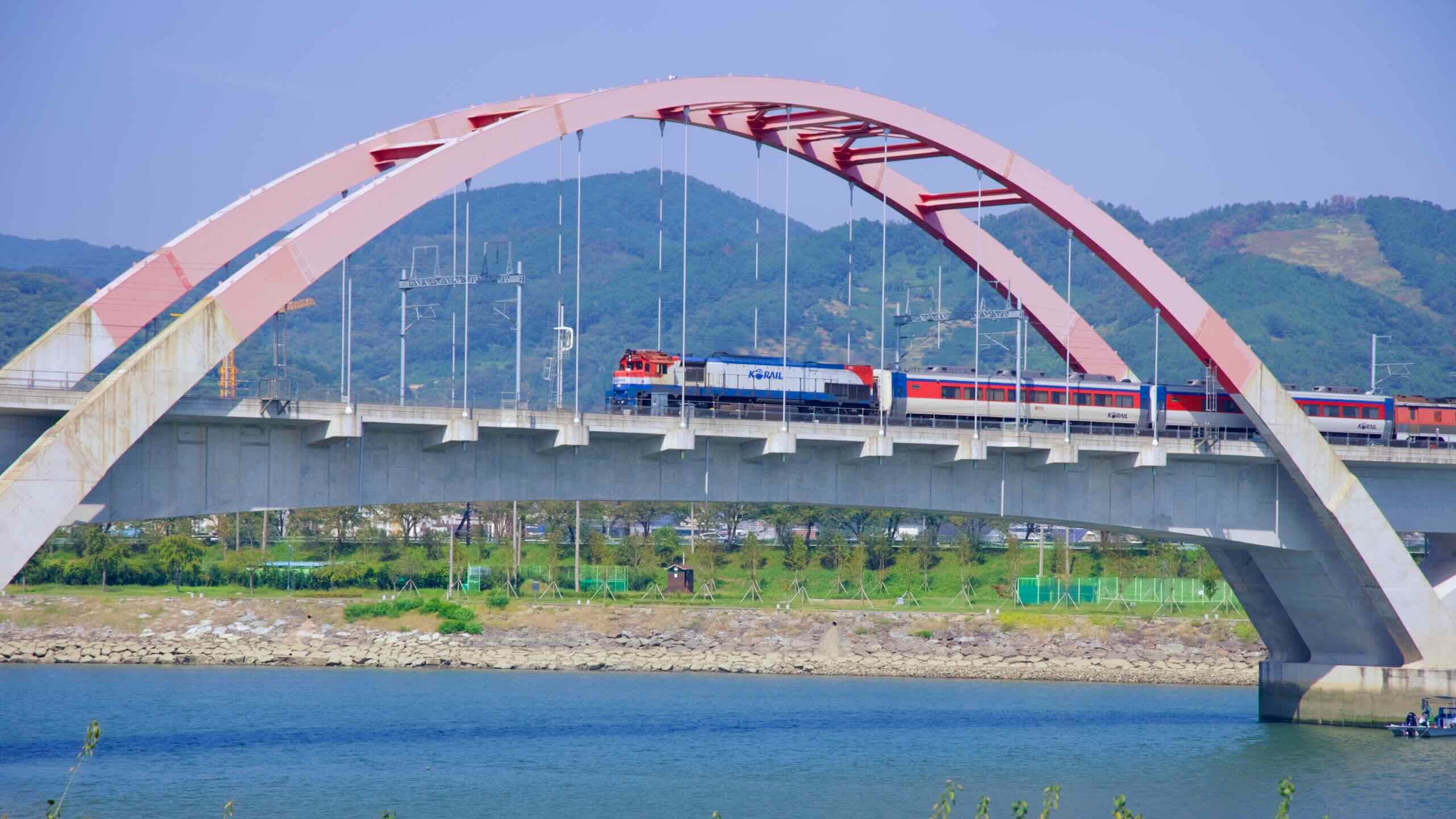
In the middle of the path, follow the widening river into Gwangyang City and pass Cherry-Blossom Road and bi-colored bridge before stumbling on Maehwa (Plum-Blossom) Village.
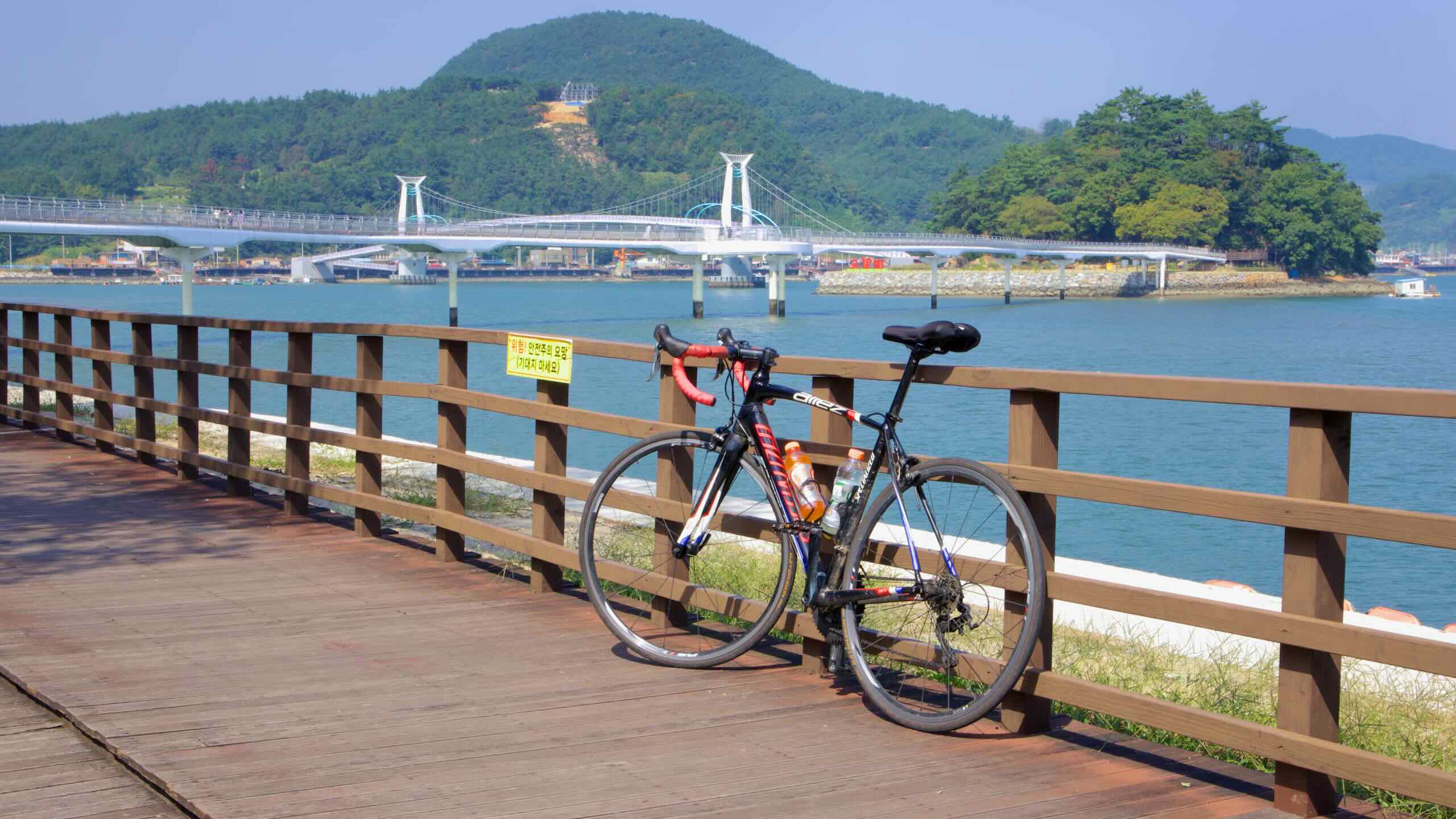
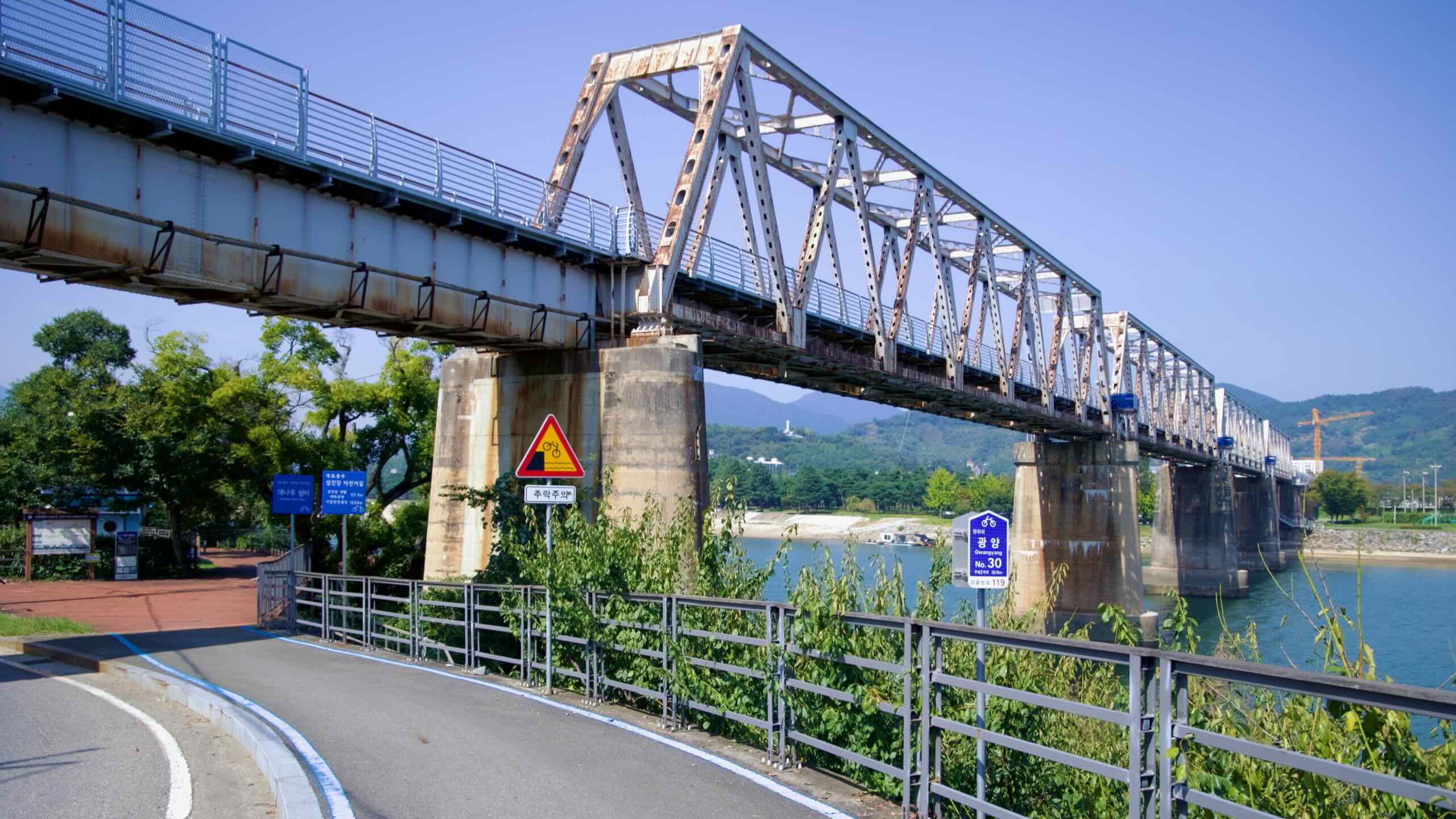
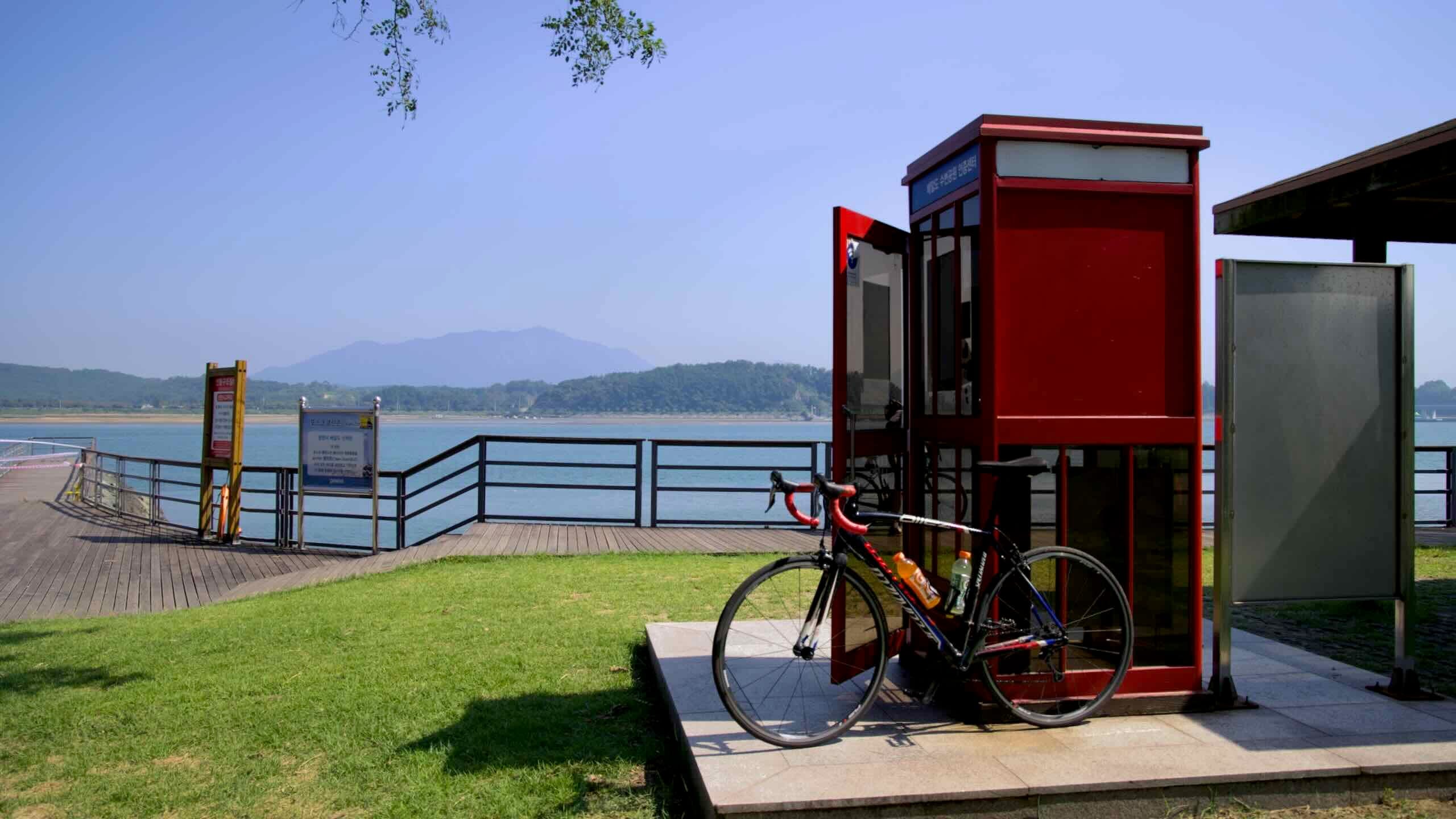
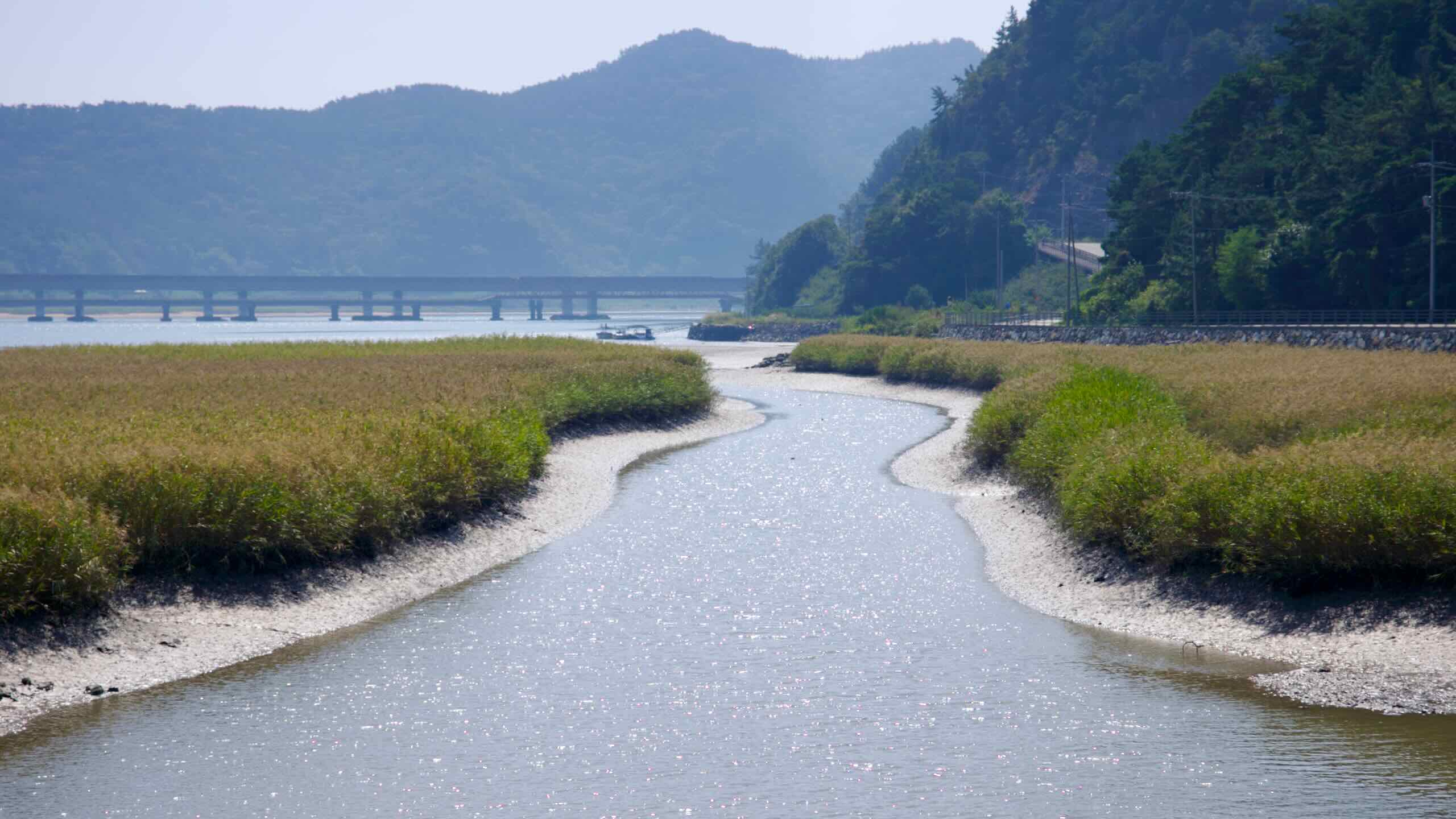
The section ends where the river meets the sea: Baeal Island Waterside Park, home to the final certification booth.
The Seomjingang Bike Path snakes through two provinces, four counties, and two cities. Read these short profiles of each.
North Jeolla Province (전라북도; map) shares the southwest corner of the peninsula with South Jeolla. Koreans know the region for rich food at cheap prices and the birthplace and keeper of pansori, Korean musical storytelling. The least wealthy province in the nation, the area holds part of the Honam Plains, which has filled the country’s rice bowls since ancient times. Its coast, before reclamation, contained extensive mudflats on the Yellow Sea. Jeonju, the largest city, boasts a famed hanok village, museums, festivals, and bibimbap restaurants.
Imsil County (임실군; map) operates the Seomjin River Dam and makes cheese. A Belgium missionary set up the nation’s first cheese factory when moved to the mountainous county in the 1950s. Today visitors can visit a cheese town to learn how to produce the district’s reputable product.
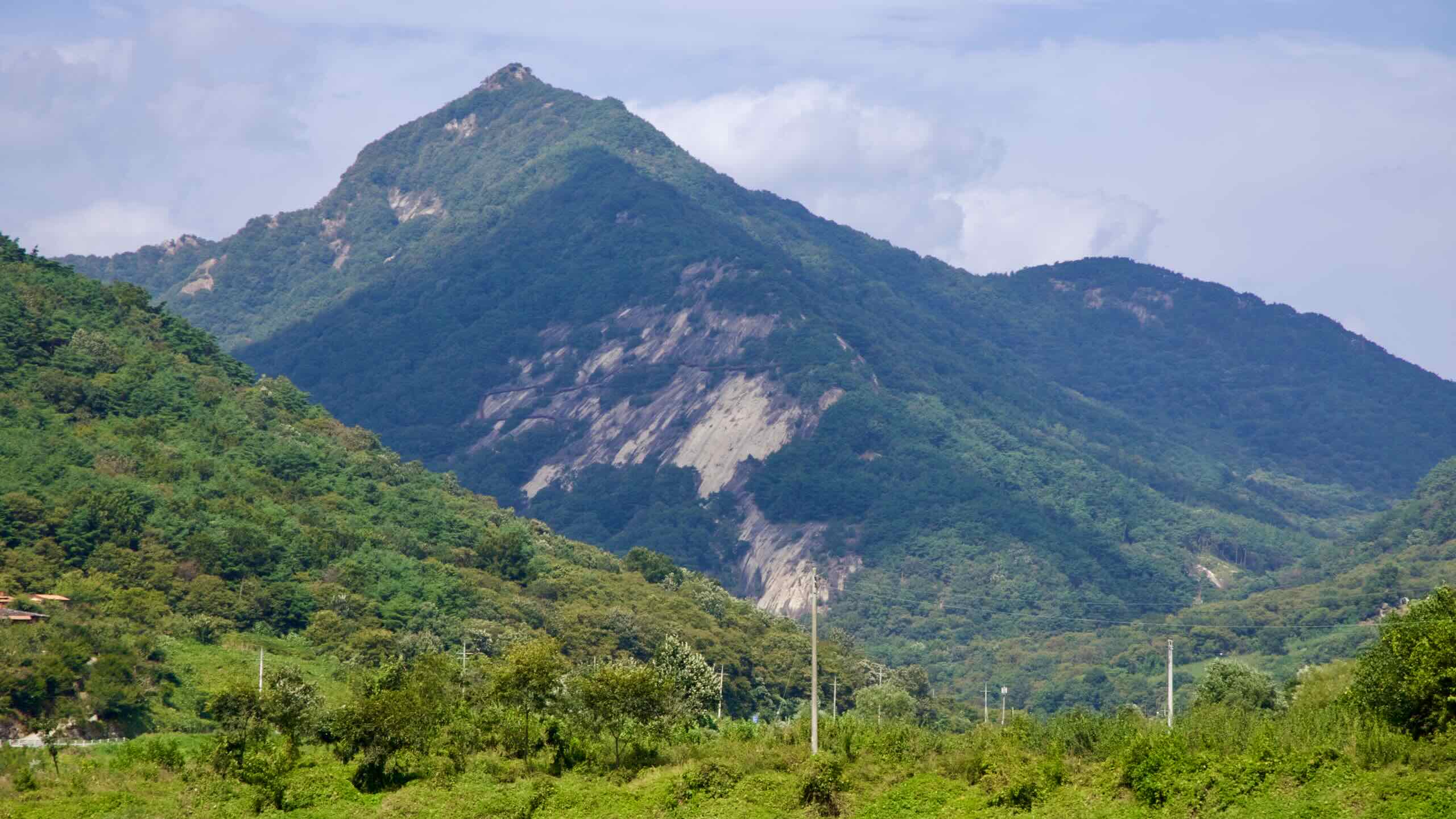
Namwon City (남원시; map) wields the nickname “city of love” because it served as the setting for the famous love story of Chunhyang, about a faithful woman who resisted a local magistrate until her true love returned from Seoul. The city holds a yearly festival, beauty contest, and theme park in the story’s honor. In the southeast rises Korea’s Jiri Mountain, Korea’s second tallest.
South Jeolla Province (전라남도; map) sits on the southwest tip of Korea. Gwangju Metropolitan City, known for rebelling against the nation’s strongmen policies, once was its capital. Like North Jeolla, South Jeolla keeps the other portion of the fertile Honam Plains and cooks up some of the country’s most delectable dishes. The province’s coast produces seaweed and oysters, and wrangles thousands of mostly uninhabited islands in its borders.
Gokseong County (곡성군; map) is a rural county along the Seomjin River. Known for agriculture like strawberries and perilla leaves, the county recently developed a tourist industry. Seomjingang Train Village makes use of the old Gokseong Station, displaying retired steam engines and amusement park rides.
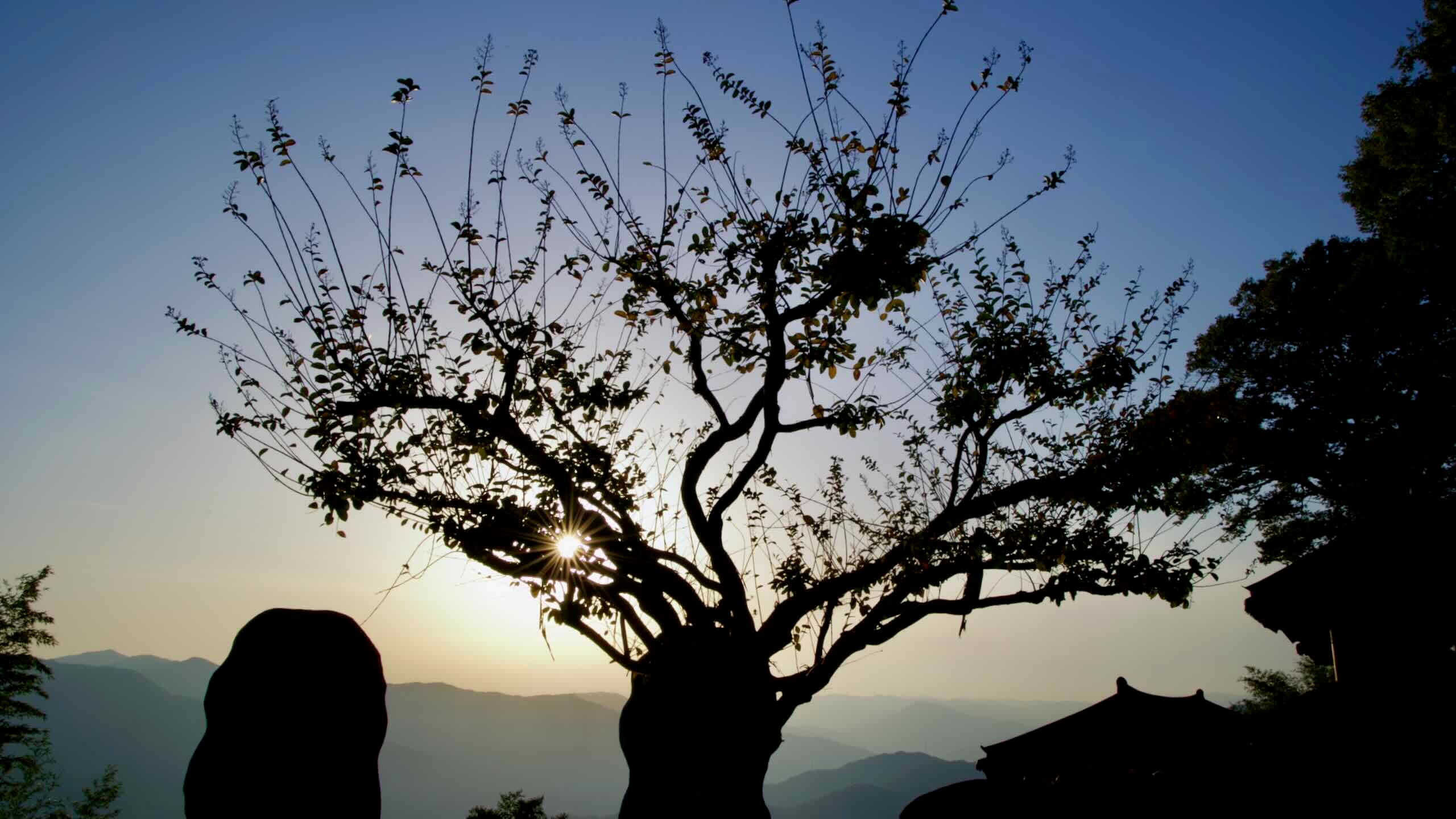
Gurye County (구례군; map), South Jeolla’s least populated bucolic retreat, attracts hikers and sightseers ready to conquer Jiri Mountain, which dominates the district’s eastern edge. Hwaeomsa and Saseongam, both mountain dwelling temples, form the county’s historic core. Gurye’s farms pump out wheat, grapes, cucumbers, and a medicinal flower.
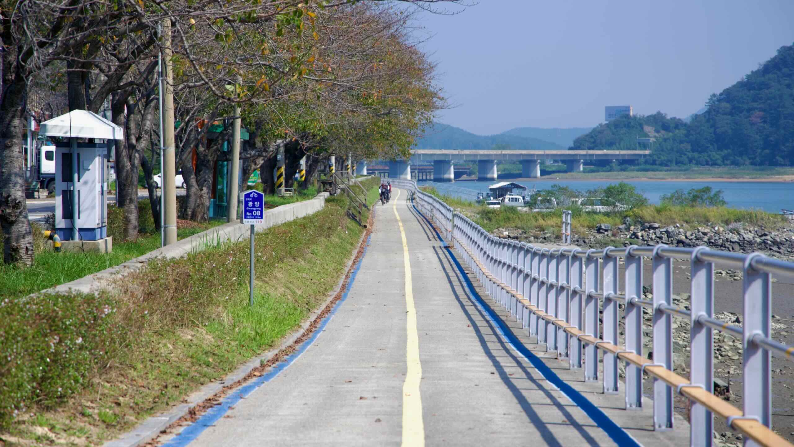
Gwangyang City (광양시; map) hangs onto the bottom of the peninsula, where the Seomjin River exits into the Korean Strait. An industrial city, Gwangyang boasts a bustling port and the world’s largest steel mill on a patch of land reclaimed from the sea. Though much of its fishing industry dried up, farmers still grow cucumbers, zucchini, and pluck cherries from the renowned Maehwa Village along the riverside bike path.
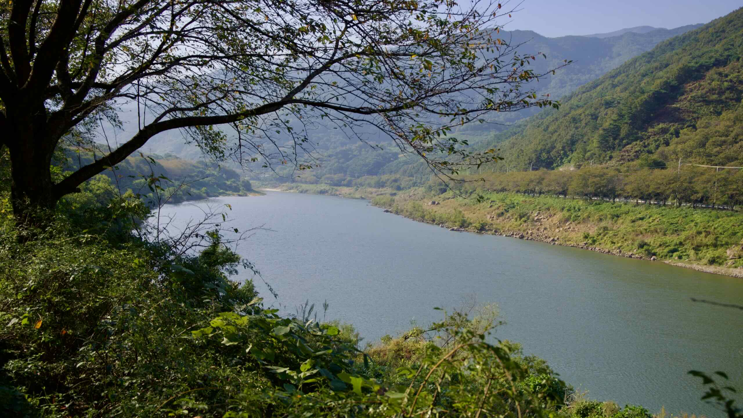
The Seomjingang Bike Path is mostly a riverside cruise. It starts in the uplands of Imsil County at the Seomjingang Dam Certification Center and then follows the Seomjin River downhill to the estuary at Baeal Island Waterside Park near the South Sea, a net drop of about 170 meters spread over the entire route.
The overall gradient is gentle in both directions, but the south to north course does gain elevation. Steep or extended climbs? Nothing to write home about.
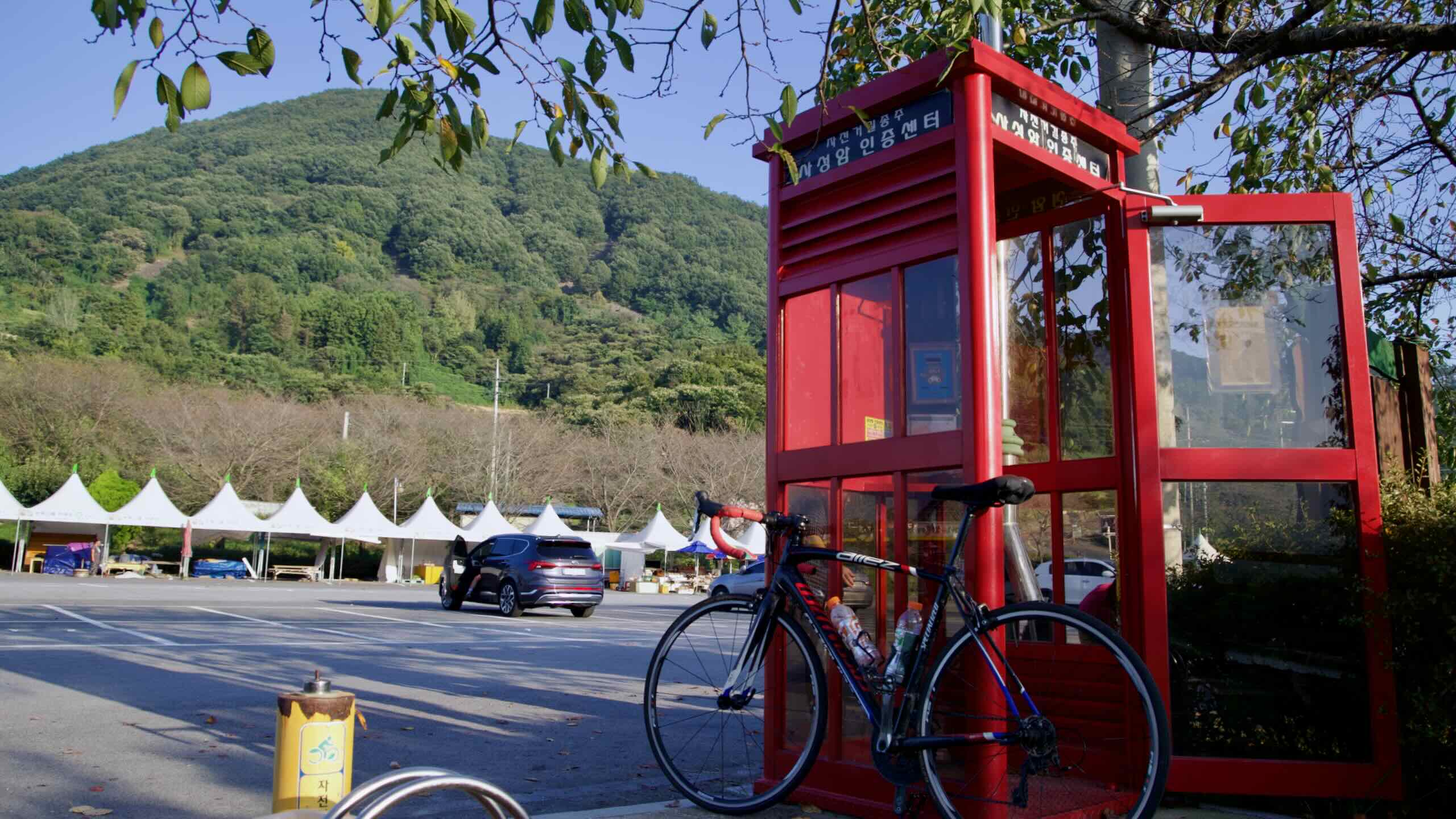
Saseongam Hermitage Pass (Optional Detour)
Craving a real workout? From the riverside parking lot under Oh Mountain in Gurye County, you can either choose to take a taxi or brave the mountain road to the top and meet Saseongam Hermitage.
The distance? 3.1 kilometers. Elevation gain? 388 meters. Average gradient? 12.5% (steep; directions).
(This is not a part of the official route. The Saseongam certification stamp sits on the edge of the parking lot near the river.)
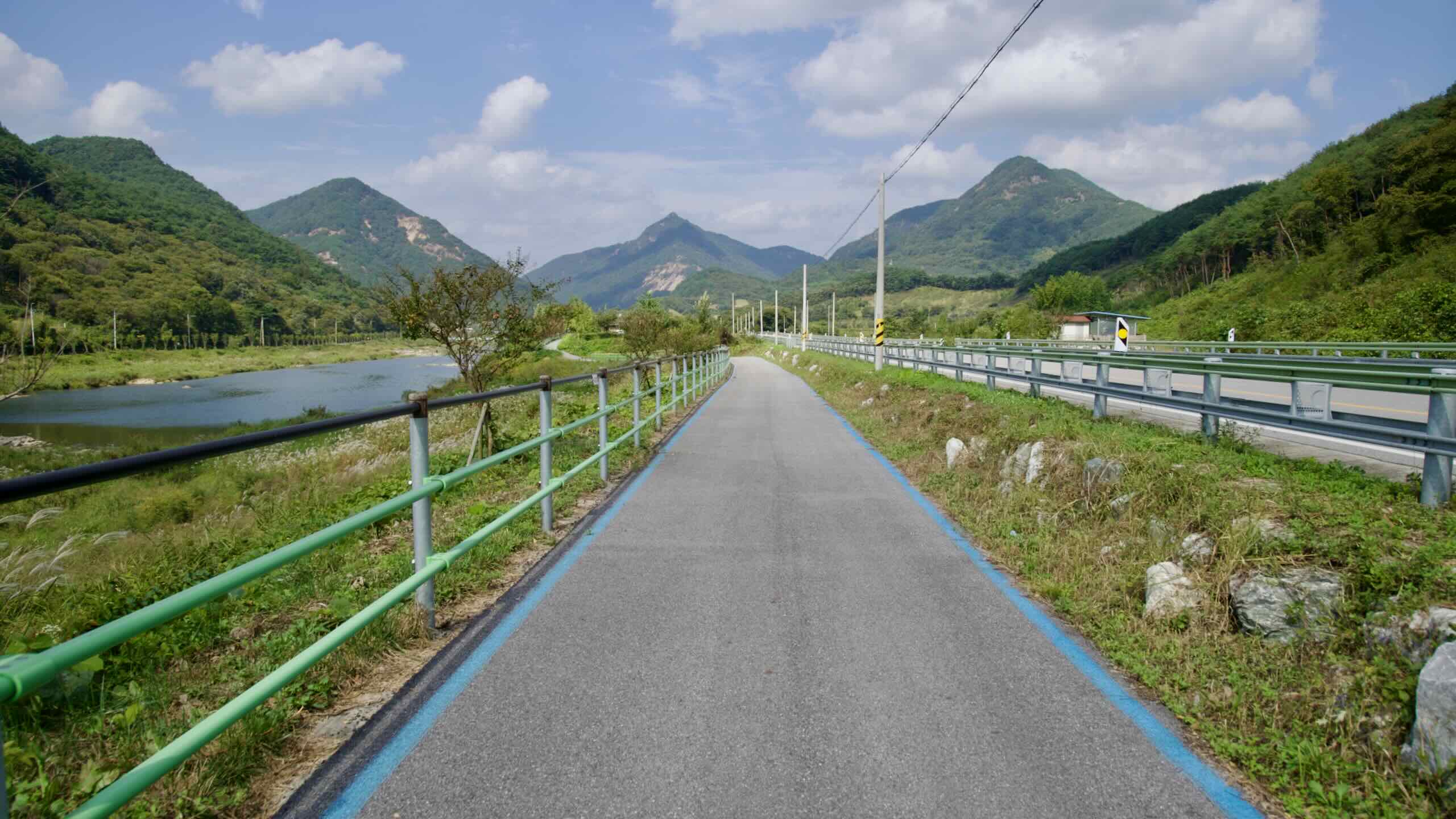
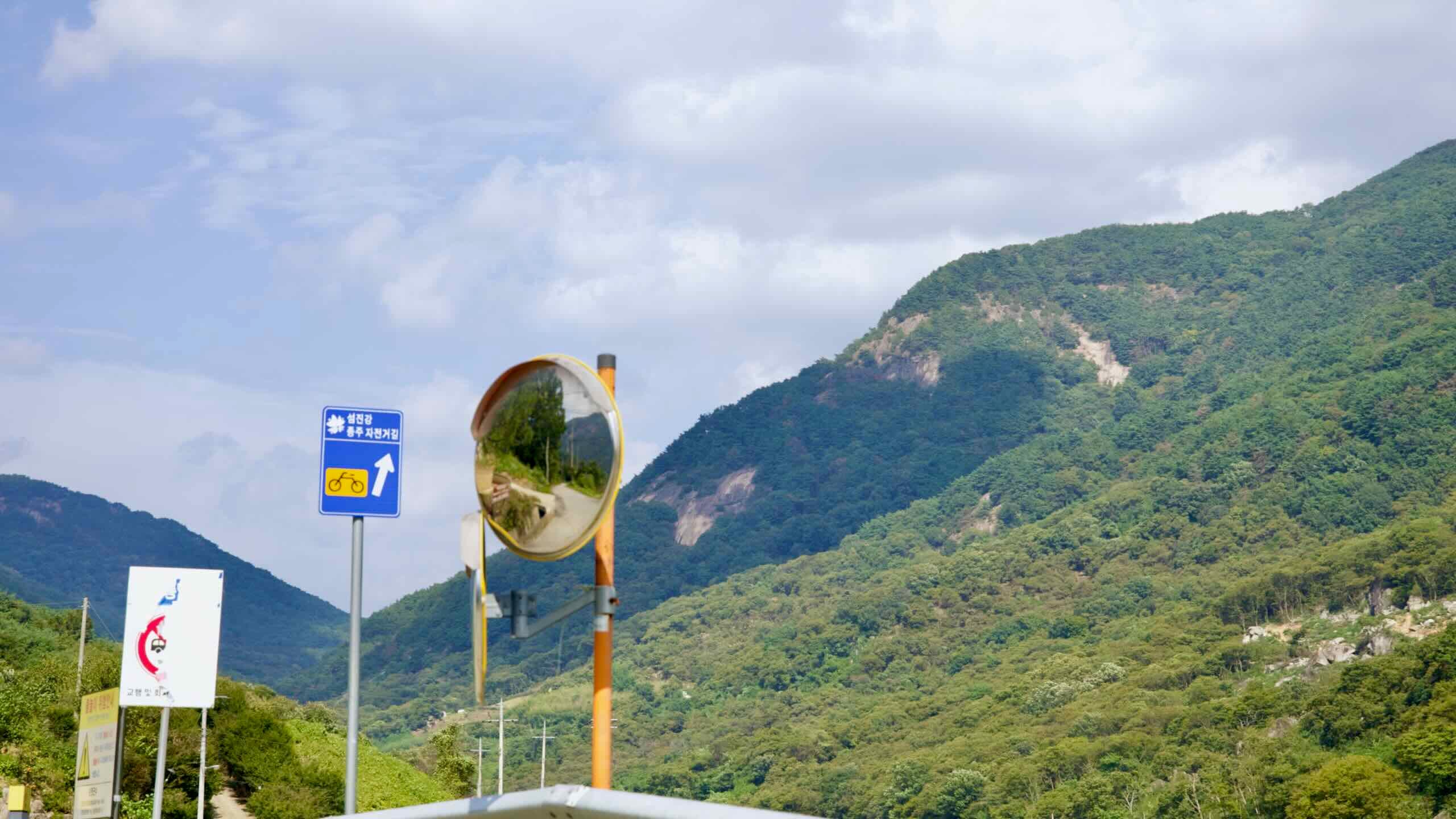
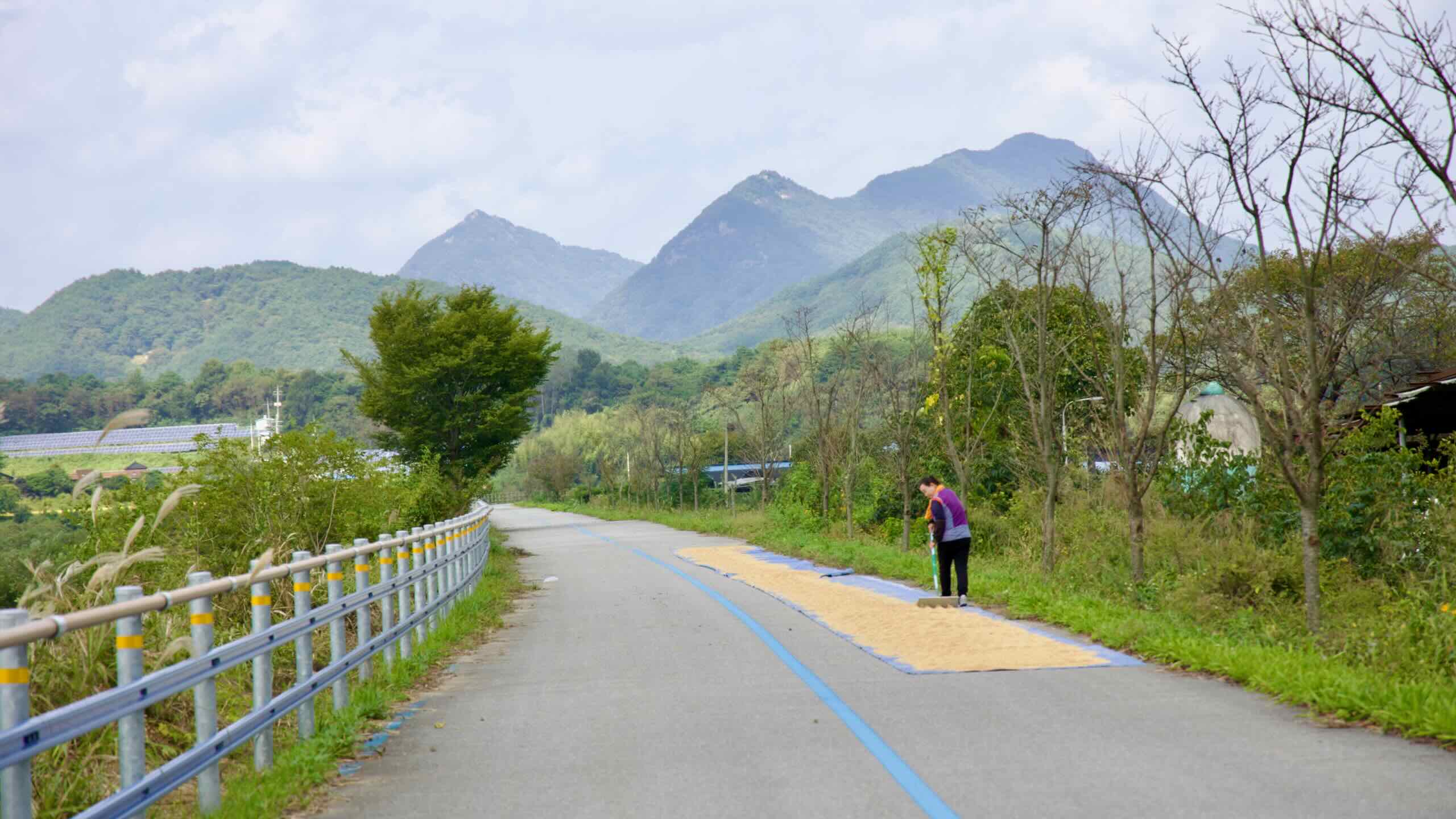
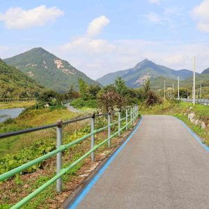
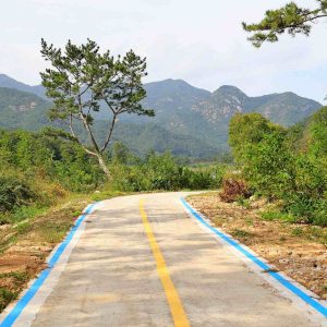
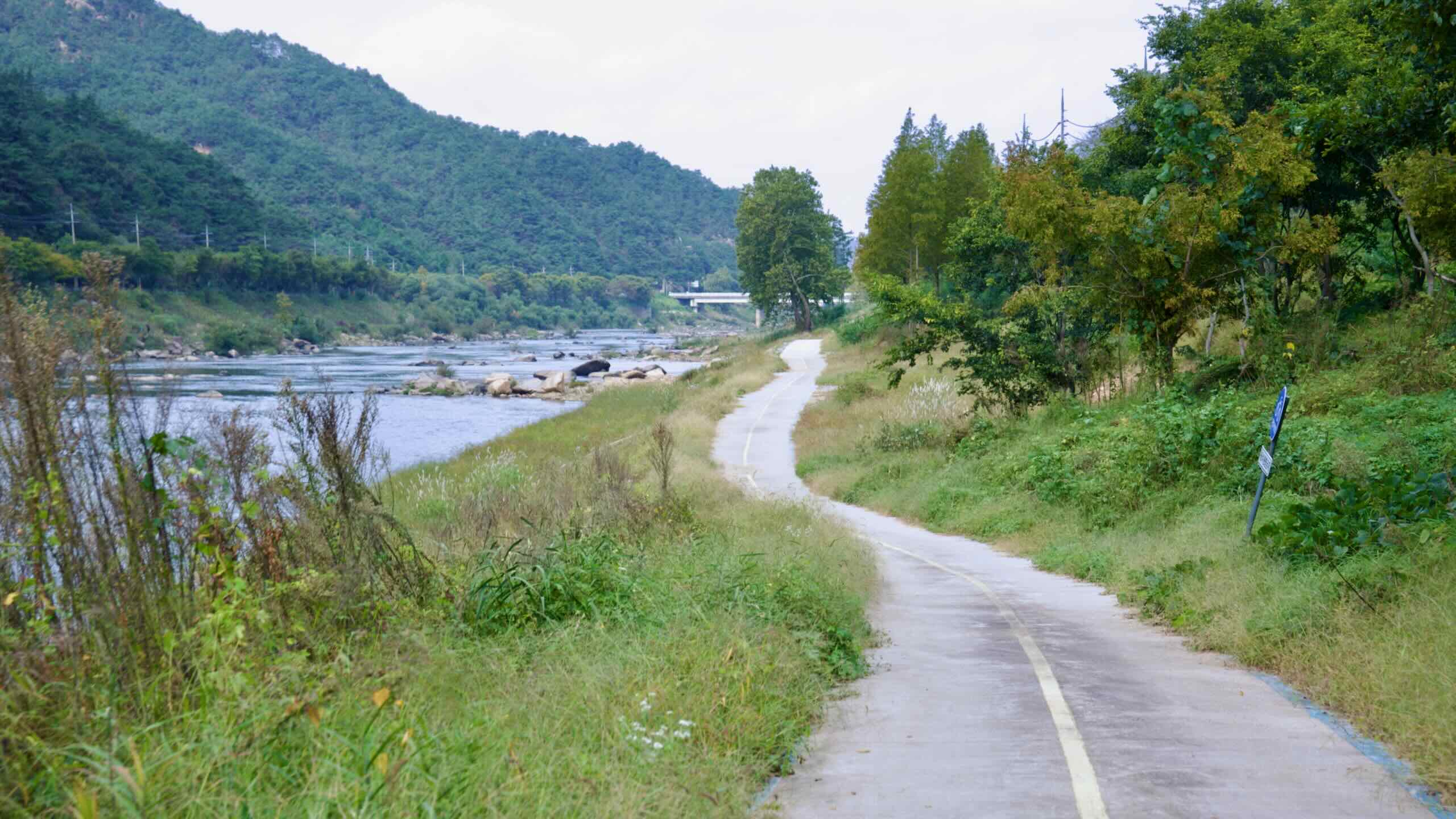
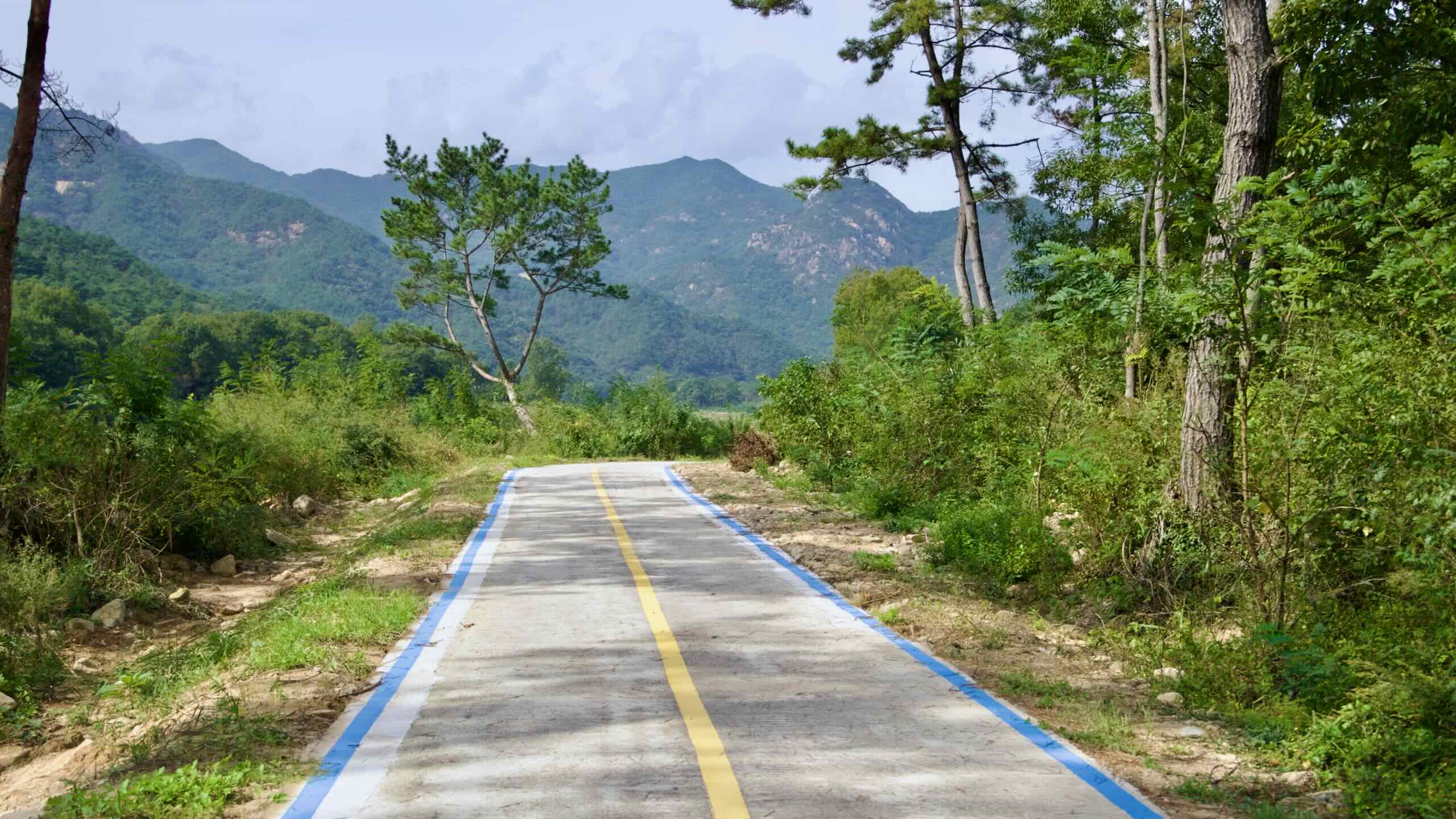
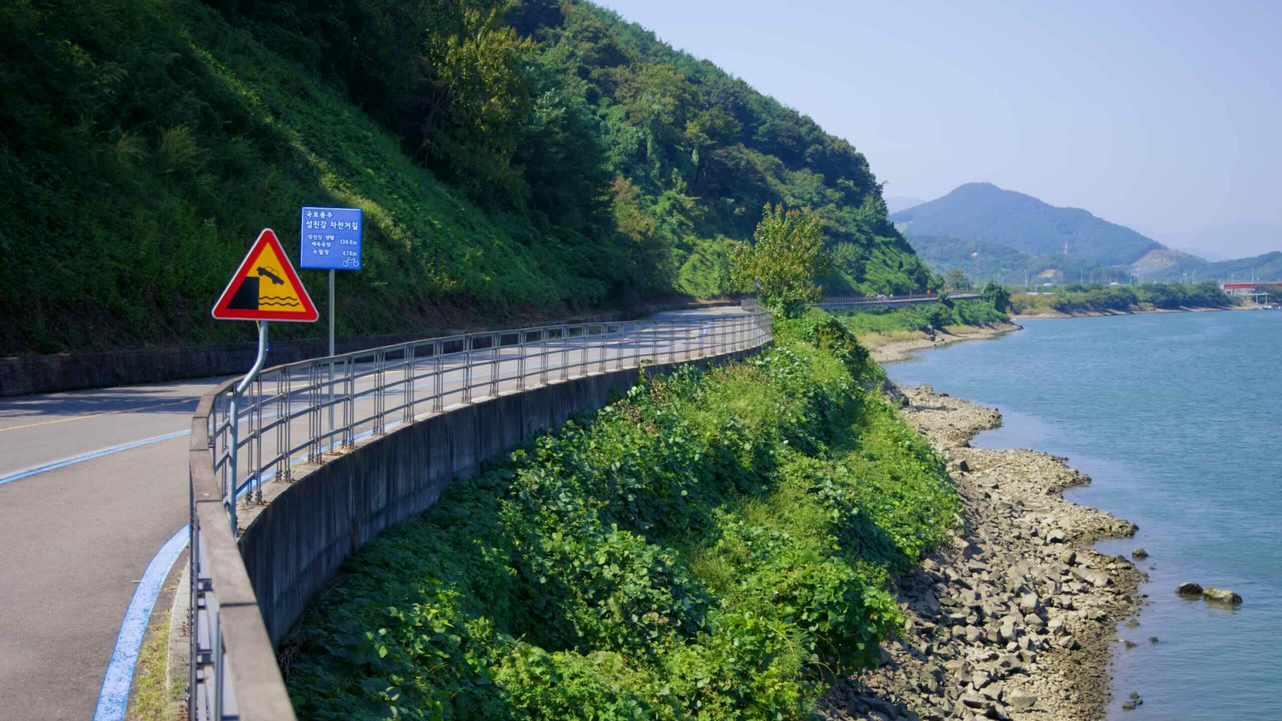
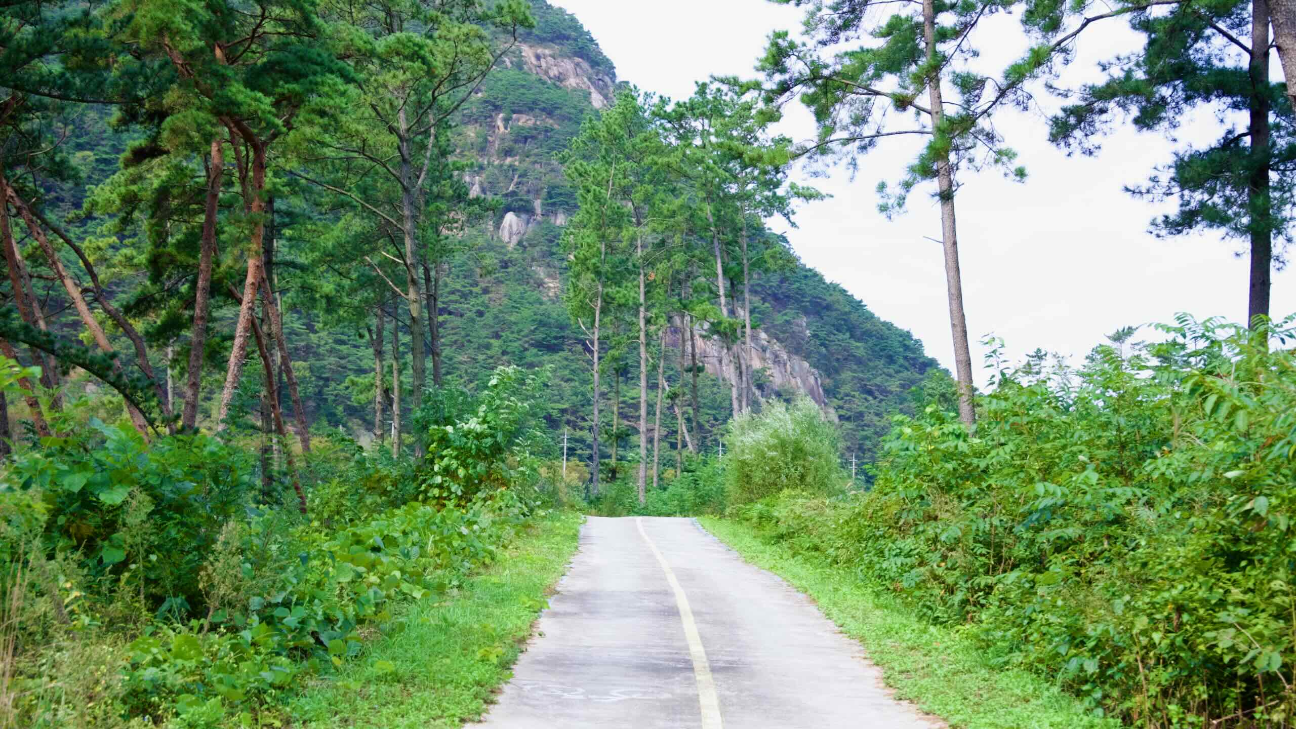
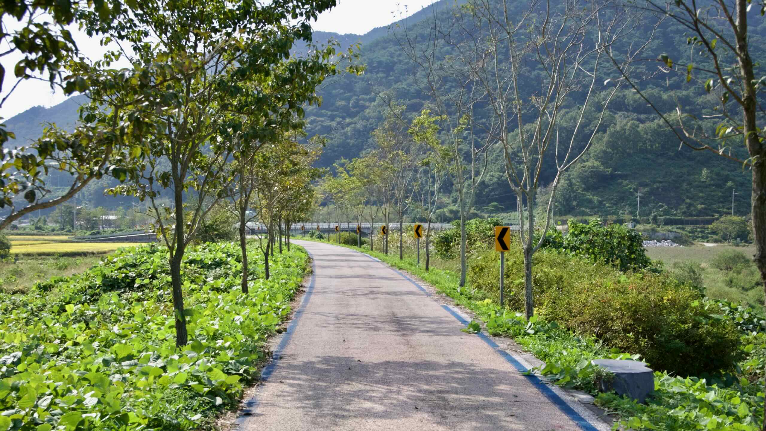
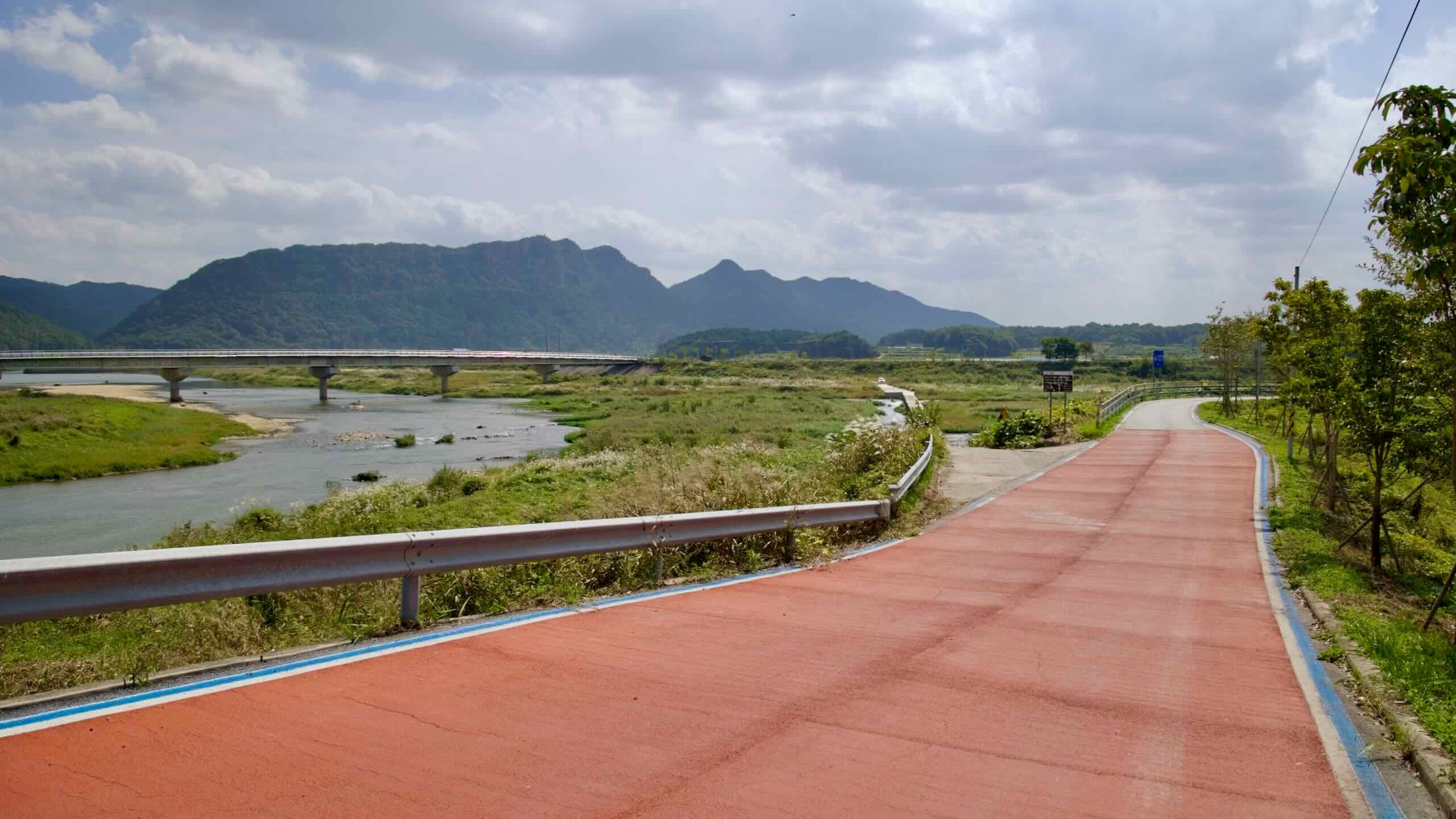
The Seomjingang route strings together a patchwork of pavements rather than one long, protected lane. In broad strokes you will alternate between levee-top cycleways, farm access lanes, quiet country roads.
Here are the main surfaces you will meet.
Riverside Bike Paths
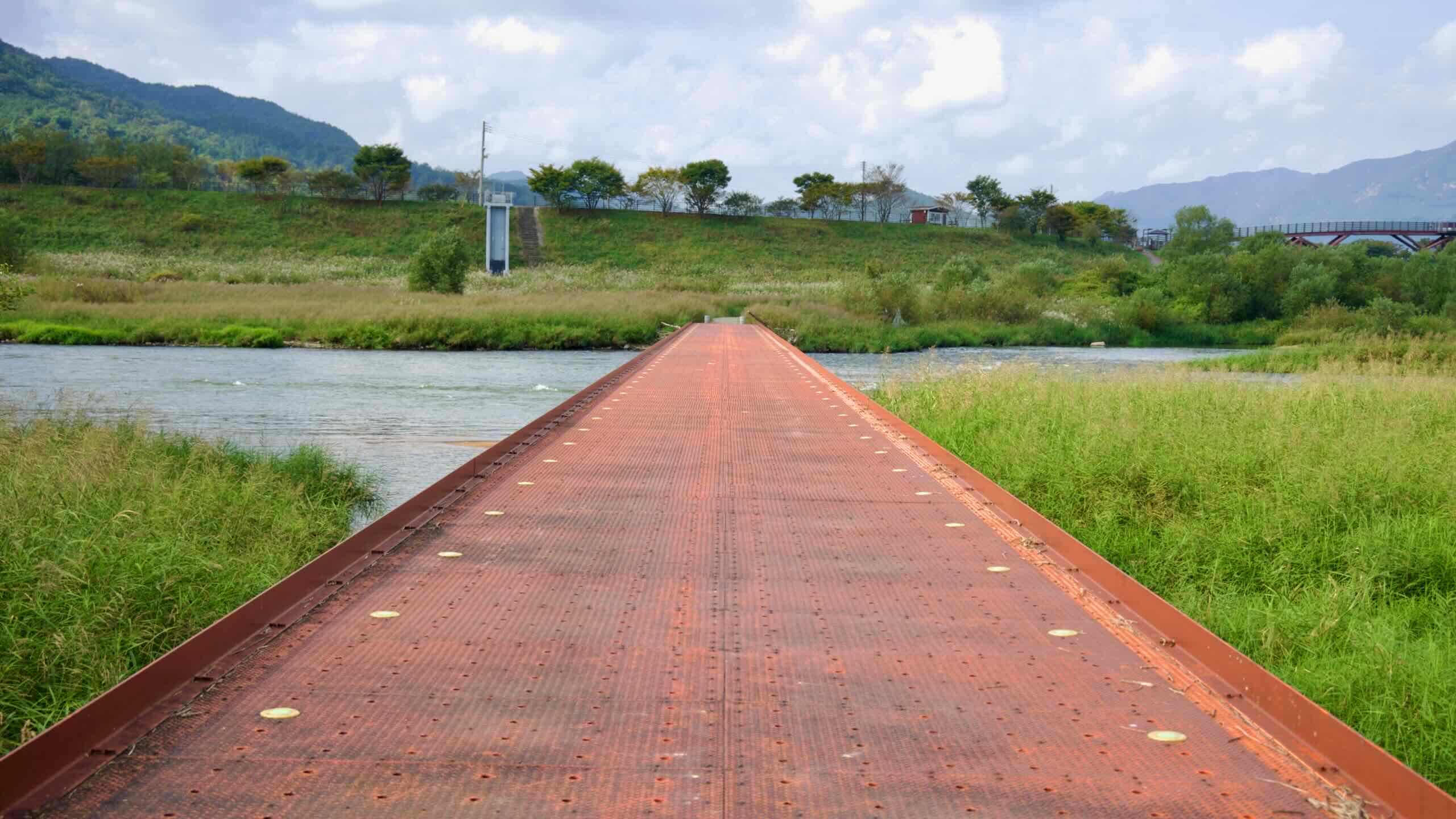
Near both Imsil and Gokseong the course rides along the rim of flood-control levees: tall embankments that border the Seomjin River.
You’ll also find a good helping of dedicated cycling paths that cross through waterside parks and stream through shady pine trees.
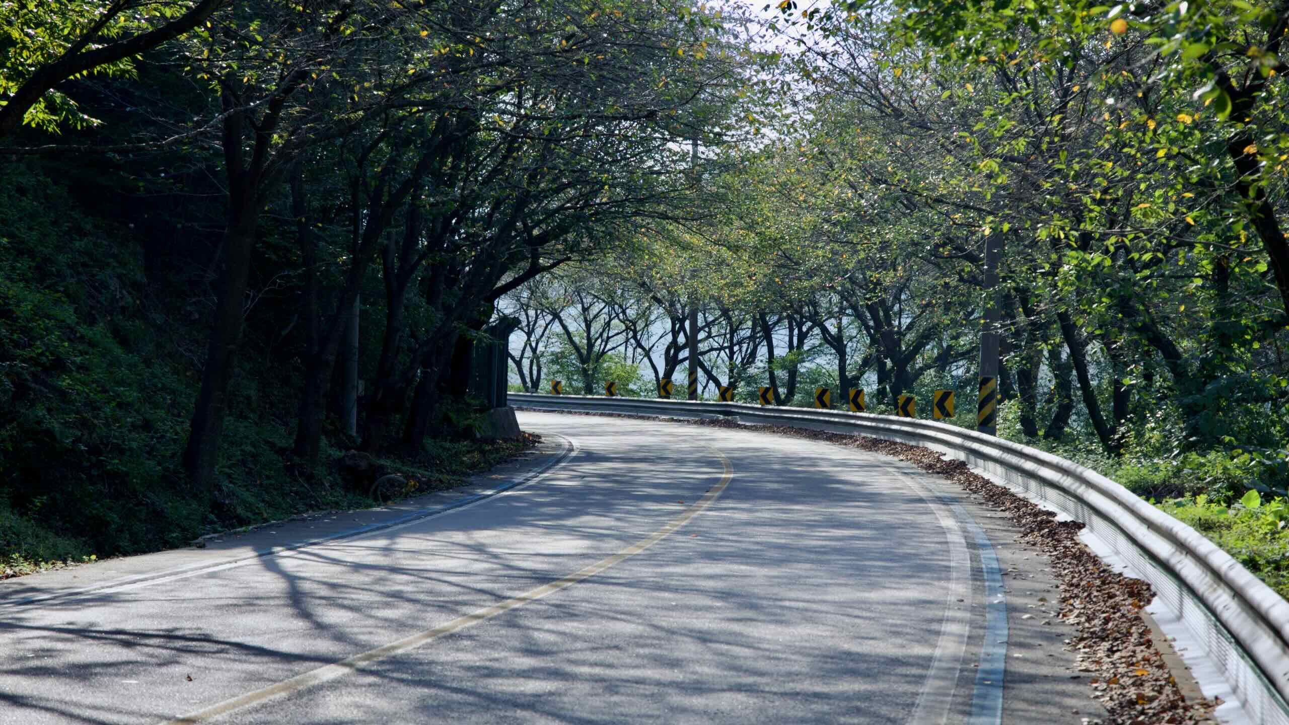
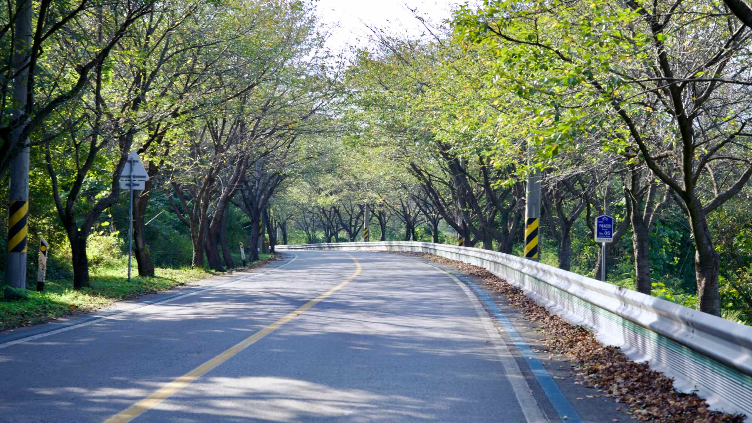
Country Roads
For long stretches in Gokseong and Gurye, the course borrows the shoulders of country roads with little to no shoulder or designated cycling lanes. The scenic Cherry-Blossom Road section, for example, travels on winding vehicle roads. While most of the year, cars are few and far between. But come spring, when this section turns into a tunnel of white cherry blossoms, the roads swell with traffic.
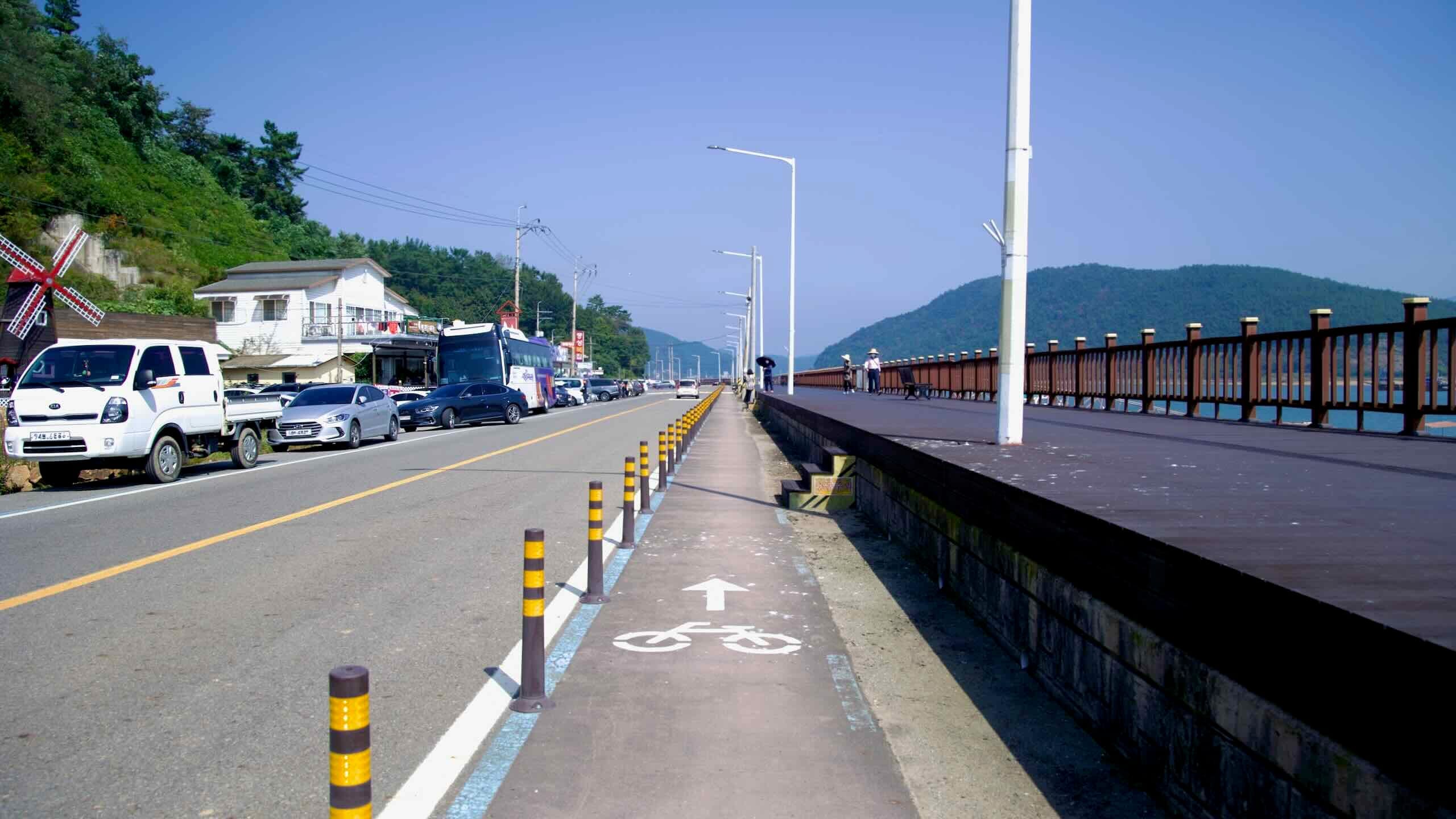
Roadside Sidewalks
While large sections of the Seomjingang Bike Path travel roads, and equally long stretches near Gwangyang City travel on wide sidewalks designated for cycling or, better yet, barrier-separated cycling lane runs, keeping riders clear of vehicles.
The Seomjingang Bike Path follows the Seomjin River, one of Korea’s cleanest waterways, winding through the Honam region.
The 149 km route is considered one of the most scenic certification paths in Korea, offering a journey through valleys, mountain ridges, and landmarks. Along the way, riders can enjoy plum orchards, train villages, and natural wonders.
Let’s take a closer look at the highlights of the Seomjingang Bike Path.
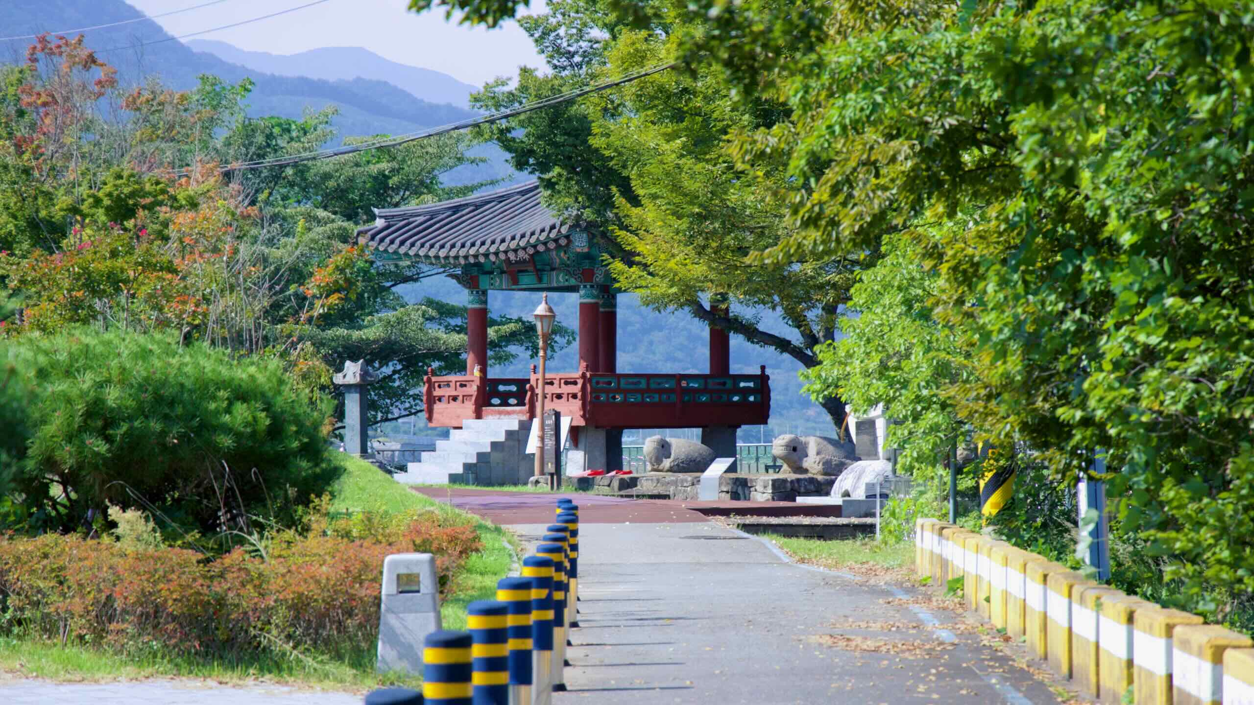
Travelers cross Janggunmok’s worn stones with bridge beyond.
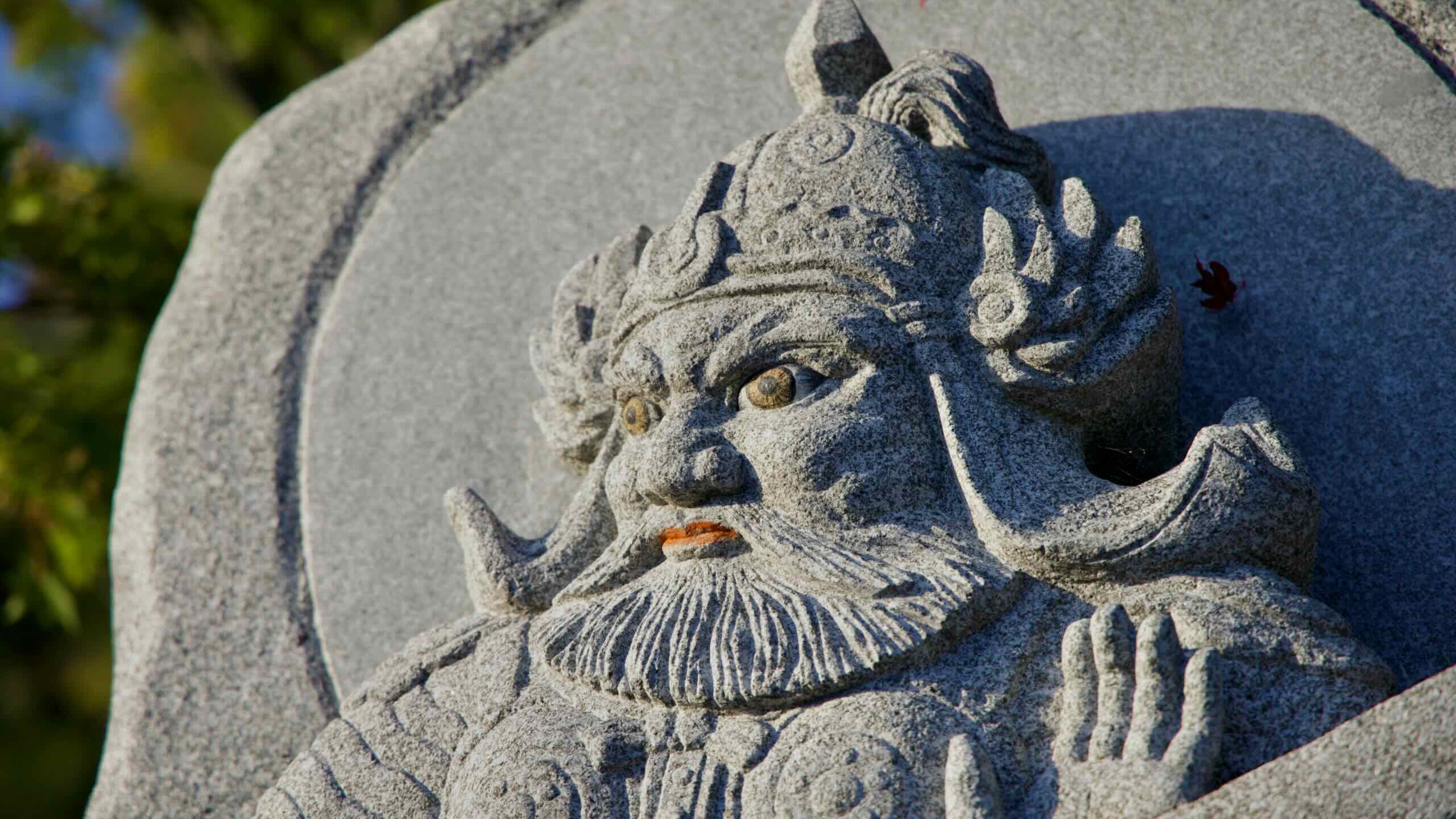
Janggunmok, located in Sunchang County, is a famed rock formation shaped over thousands of years by the relentless flow of water in the upper reaches of the Seomjin River. Surrounded by Yonggwol Mountain and Muryang Mountain, the site is steeped in history and legends.
The name “Janggunmok,” meaning “General’s Neck.” It derives from the topography of the nearby Yonggwol Mountain and Muryang Mountain, which are said to resemble a “General’s Seated Posture” (장군대좌형) in Korean geomancy. This formation is thought to bring balance and prosperity to the region.
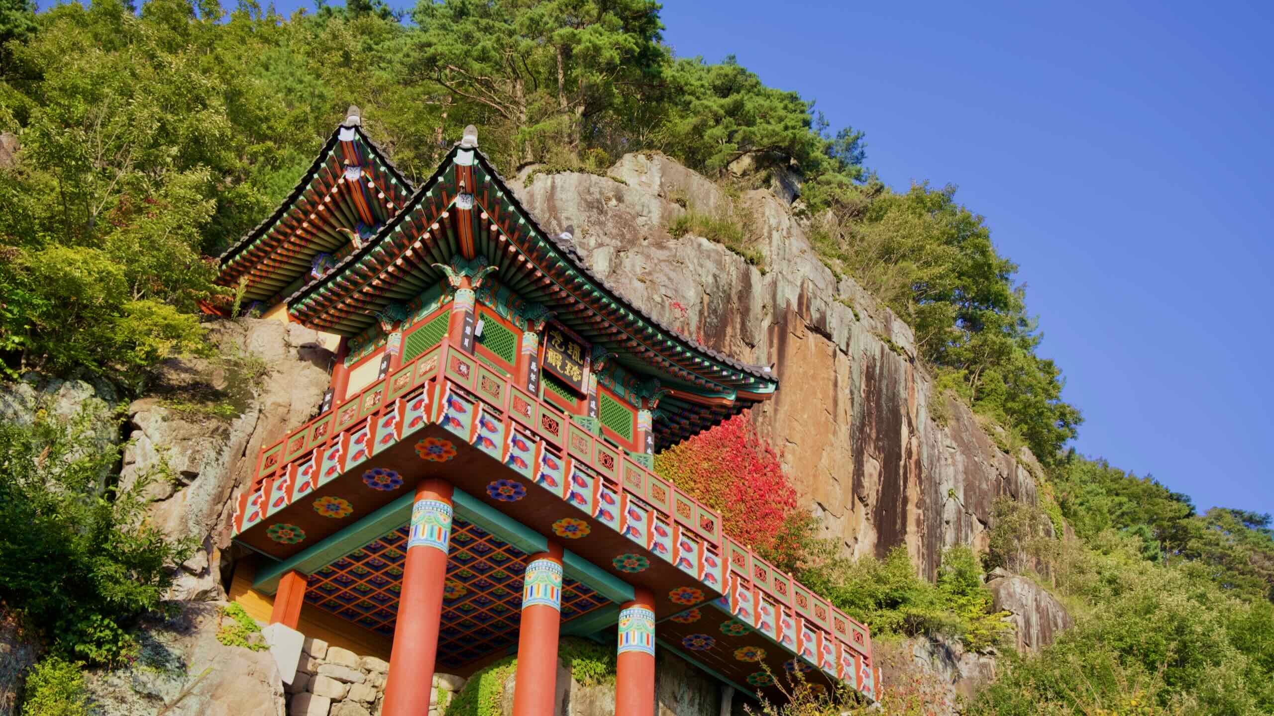
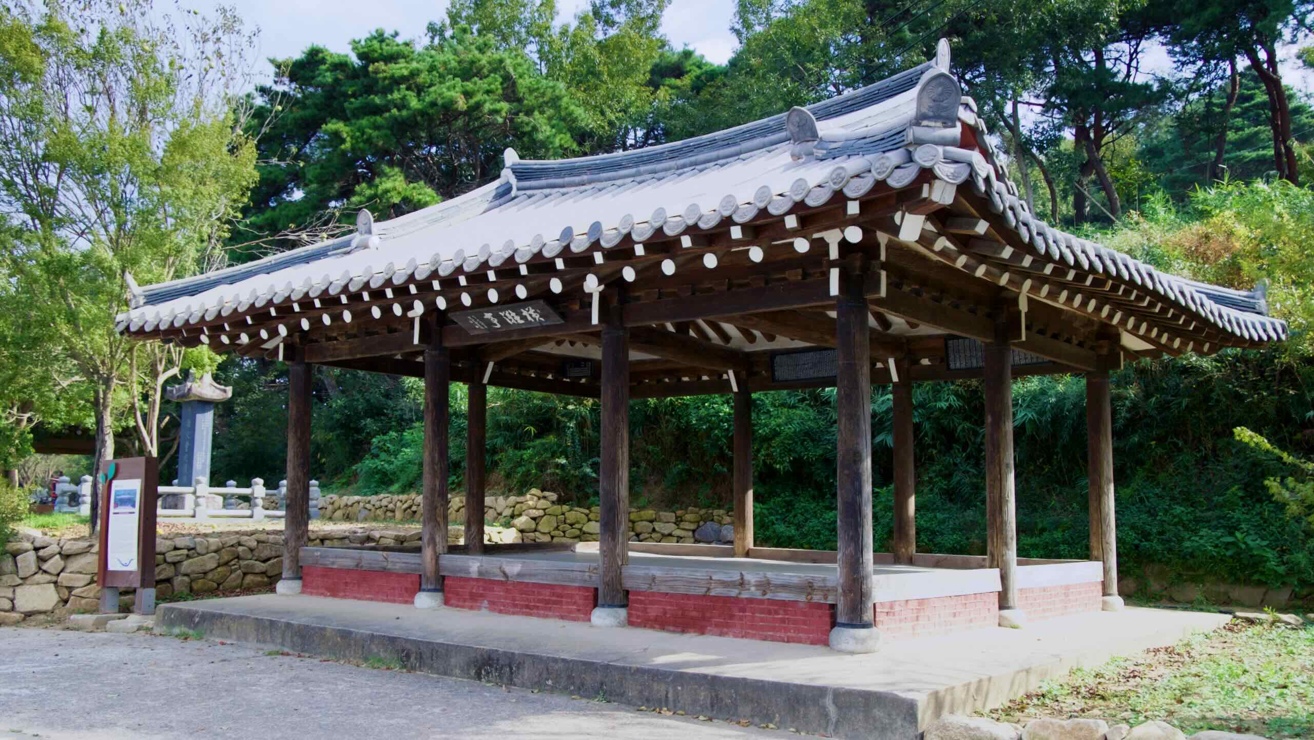
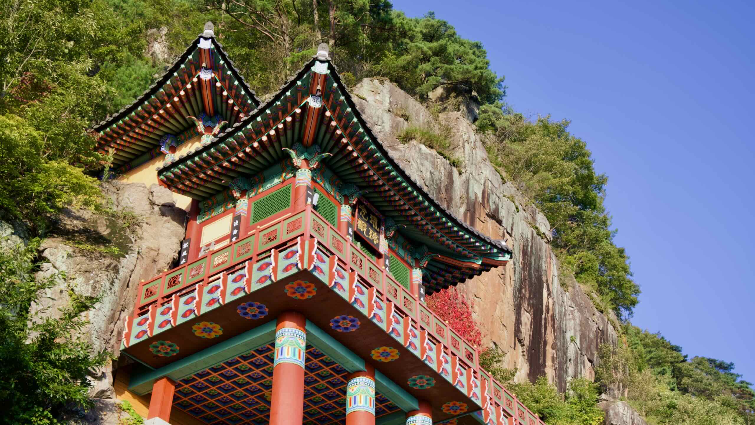
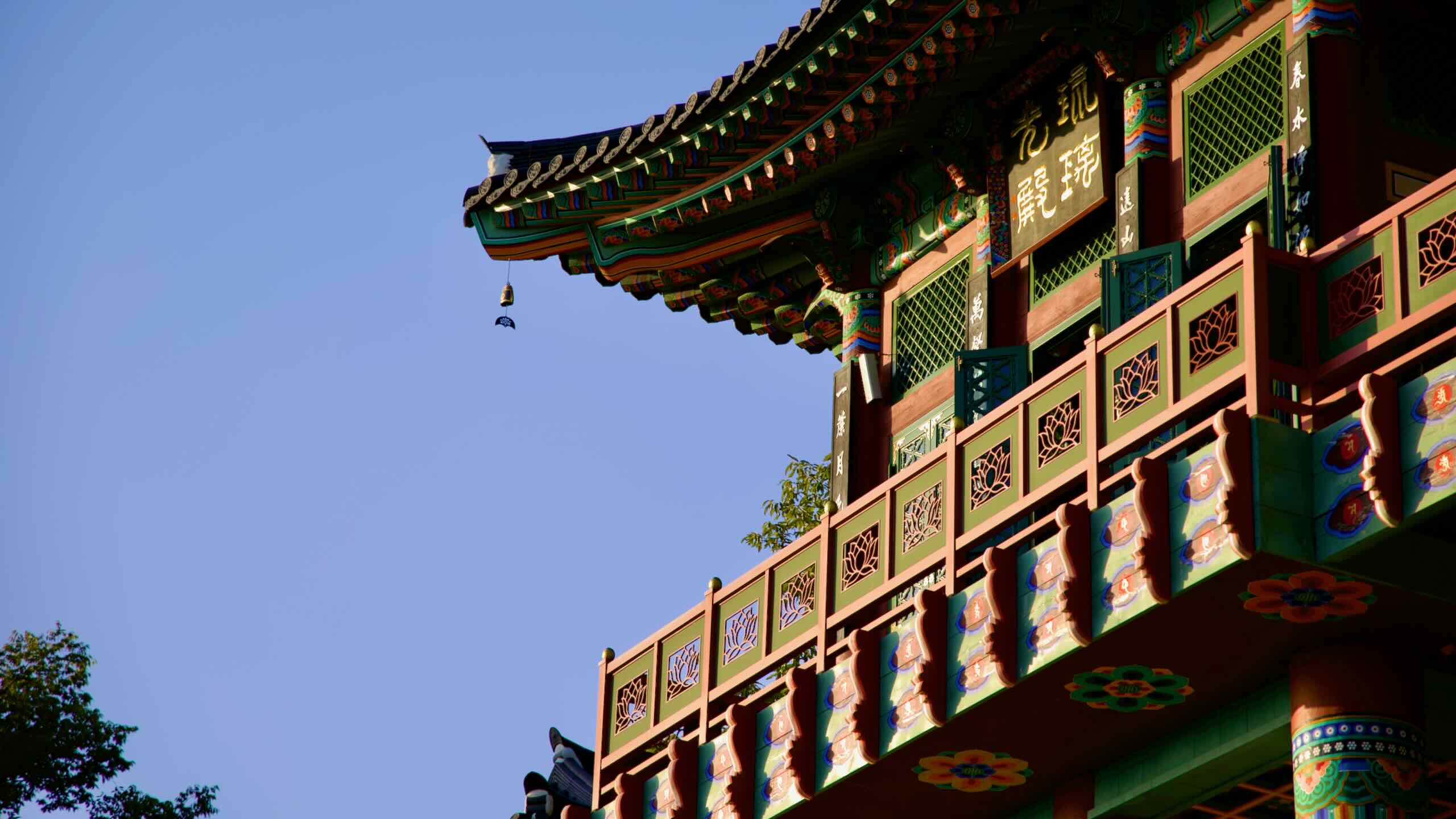
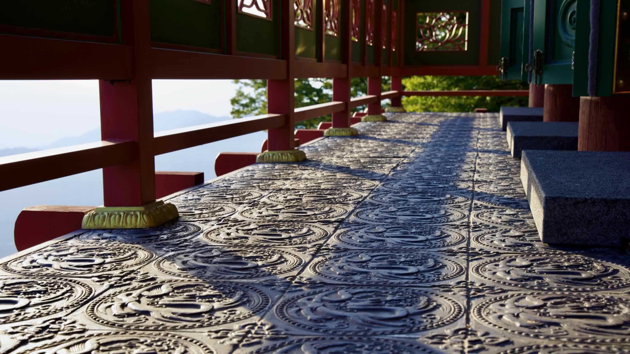
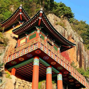
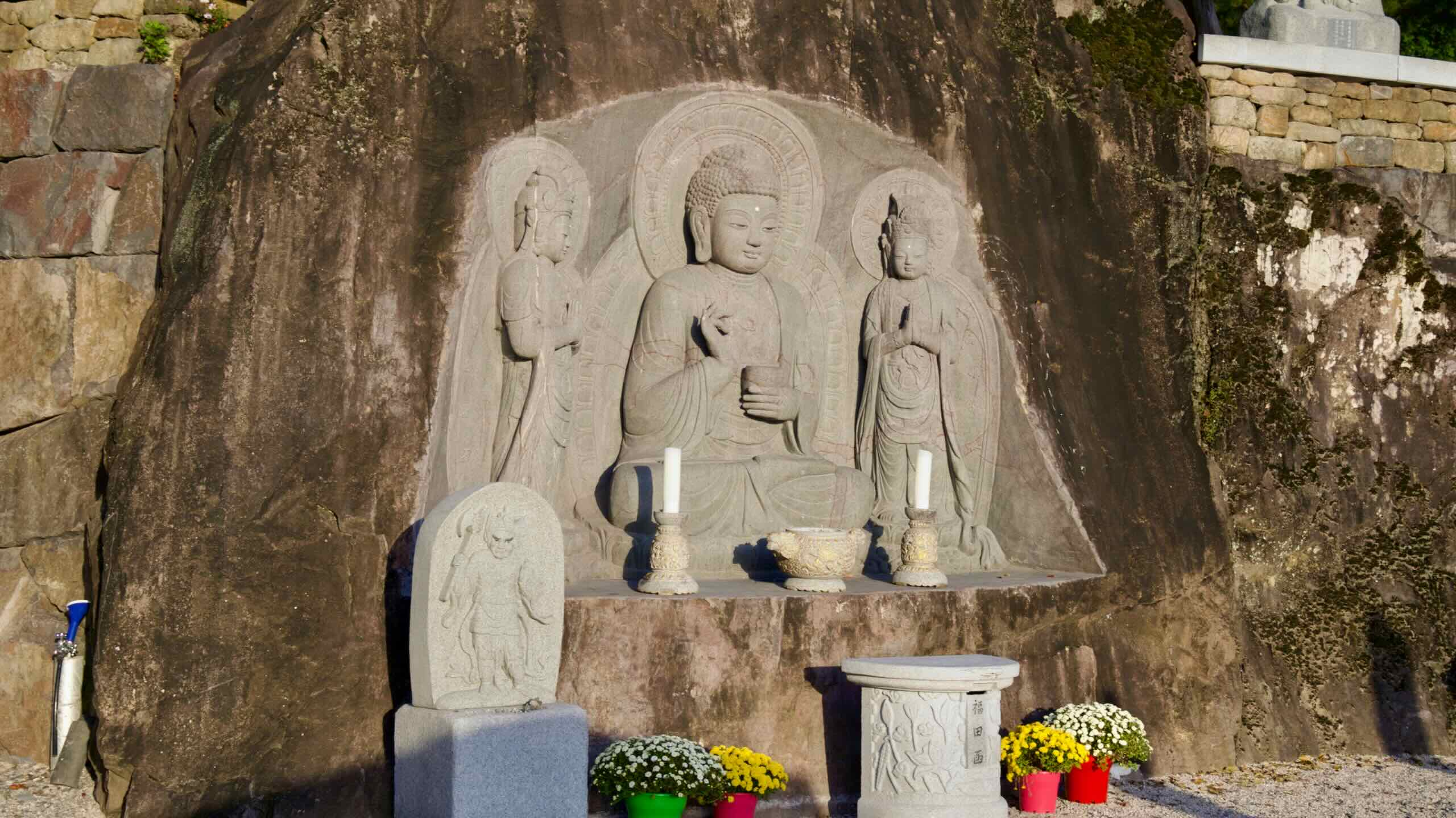
Yaksa-jeon Hall’s red pillars rise from the cliffs of Oh Mountain.
Sitting on top of Oh Mountain, Saseongam Hermitage is a centuries-old Buddhist temple renowned for its striking location, clinging dramatically on sheer cliffs. Its history and architecture made it a significant cultural site in Korea.
Saseongam Hermitage traces its origins to 544 CE during the Baekje Kingdom (백제; 18 BCE ~ 660 ACE) when it was established by a revered Buddhist monk named Yeongi who envisioned it as a sanctuary for spiritual practice.
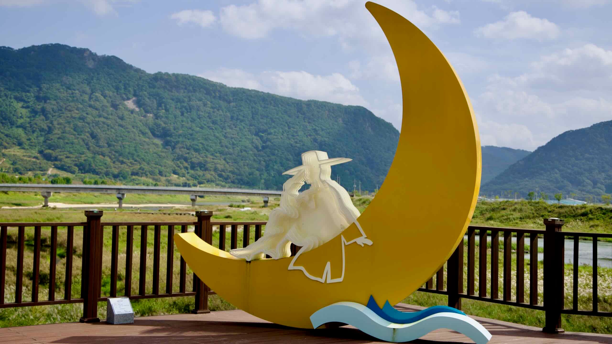
Historically, the river has played a key role in Korea’s development, fostering agriculture and trade along its banks. The name “Seomjin,” meaning “Toad Ferry,” originates from a legend of toads deterring invaders. Today, it remains a vital waterway, supporting local communities and ecosystems.
The Seomjingang Bike Path is the most remote of Korea’s certified routes. It skirts only two small cities and ends at a riverside rest area without public transport. Unless you have a car, you have two realistic options: intercity buses or the Jeolla Line train.
Northern access – Imsil Bus Terminal: 12 km east of the Seomjingang Dam start point. Local buses run to Dam-dong Stop (댐동) or take a taxi (≈ 15 min).
Mid-course – Gokseong Bus Terminal: 3 km from the path near Gokseong Train Village. Good bail-out point.
Southern exit – Seomjingang Rest Area: On Expressway 17. Express buses stop irregularly; most riders pedal 16 km farther to Suncheon Bus Terminal for frequent service.